
National park

Söderåsen National Park: A Protected Ridge Landscape in Southern Sweden's Geography
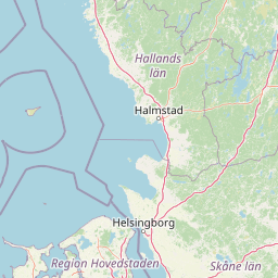
Mapped protected area with varied terrain and dense forest cover.
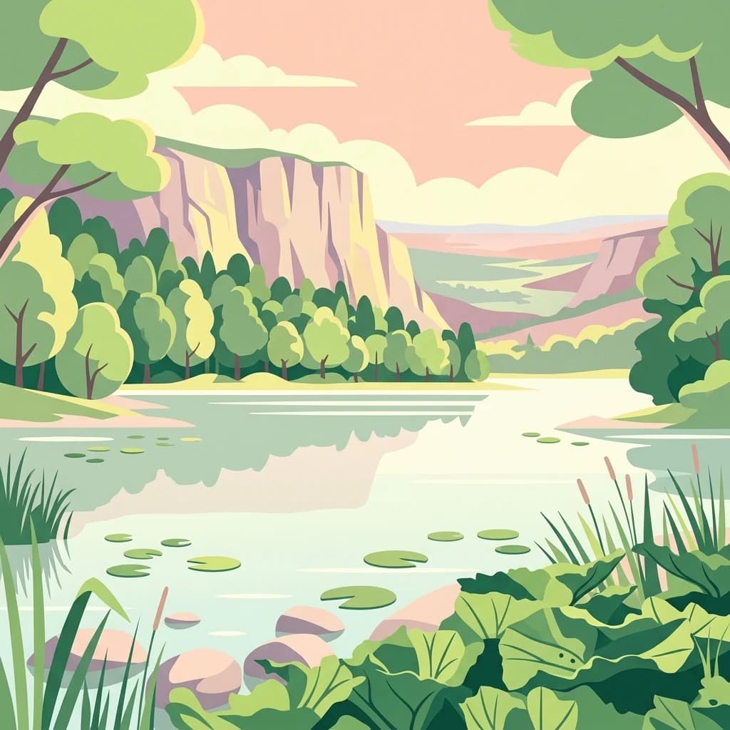
Delve into the protected landscape of Söderåsen National Park, a national park in Southern Sweden distinguished by its unique ridge topography, steep slopes, and extensive forests. This site serves as a key point for atlas-based exploration of natural terrain and regional geography, offering a clear view of its mapped boundaries and ecological significance within the Southern Swedish highlands. Understand the character of this protected area and its place in the broader mapped landscape.
- Established
- 2001
- IUCN
- II
- Scope
- Terrestrial