Mori Atlas logo
Park earthquake history

Review the chronological catalogue of historical seismic events logged in the vicinity of this alpine peatland.

Documented Earthquake History and Recorded Seismic Activity Near Torbiera delle Viote

This historical catalogue provides a structured overview of documented seismic events associated by epicenter distance with the Torbiera delle Viote nature reserve in Trentino. Users can examine event dates, recorded magnitudes, and focal depths derived from established geological monitoring sources. Each record identifies the proximity of the epicenter to this protected alpine plateau to provide geographic context for the region's historical seismic activity.

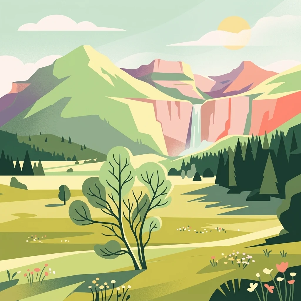
A flat style digital illustration of a mountain valley with a waterfall cascading from a cliff, a meadow in the foreground, pine trees, and a sunlit sky.

A small high-altitude peat bog and protected biotope on the Monte Bondone plateau above Trento.

Torbiera delle Viote

Torbiera delle Viote is a small protected biotope located on the high plateau of Monte Bondone, in the municipality of Trento, in the Trentino-Alto Adige region of northern Italy. Covering roughly 13 hectares, the site protects a relatively flat peatland basin set beneath the Cima Palon peak and the Bondone astronomical observatory, an unusual alpine wetland enclave within an otherwise conifer-forested mountain landscape. The reserve centers on a medium-sized peat bog surrounded by scattered broadleaf trees, with larch and spruce forests framing the edges of the wetland. Its protected status under a provincial decree of 2003 and its inclusion in the Natura 2000 network reflect its ecological importance as a fragile alpine wetland habitat, supporting unusual plant communities, rich birdlife, and a mammal community that includes large predators ranging from the surrounding Bondone forest. Beyond its ecological value, the area is closely linked to the nearby alpine botanical garden and astronomical observatory, making it part of the broader natural and scientific landscape of the Piana delle Viote, one of the most accessible high-elevation plateaus in the Trentino.

Location
Italy
Park type
Nature reserve
Established
2003
Area
0.1 km²
Torbiera delle Viote Protected Area Geography

Navigate Torbiera delle Viote event distances and dates

Explore historical earthquake records near Torbiera delle Viote

Investigate source-linked earthquake records around Torbiera delle Viote, a 0.13 km² protected area; results preserve reported date, magnitude, depth, locality, epicentre, source and calculated boundary distance. Protection scope, relief, water presence and landscape features are unpopulated here, and proximity does not establish site occurrence, effects, current danger or future activity.

Sort by
Magnitude
Location

This page describes catalogued earthquakes associated with the park by epicentre location and distance. It does not establish causation, assess current danger, or predict future earthquakes.

No earthquake records match the current filters

Park atlas

Move beyond Torbiera delle Viote earthquake records

Discover further parks and protected places beyond Torbiera delle Viote

The next links lead beyond this high-altitude Monte Bondone peat bog to other distinctive protected places. Their inclusion is for general discovery and does not suggest equivalent mountain habitat, geology, seismic context, or source depth.
A horizontal watercolor illustration depicting a lake framed by green rolling hills and distant purple mountain ridges.
Nature reserveTrentino-Alto Adige
About 6.6 km away#1 closest

Northwest

Biotopo Lago di Toblino Protected Area and Regional Landscape Geography

Nature reserve featuring Alpine and sub-Mediterranean plant habitats

Biotopo Lago di Toblino acts as a sheltered basin where lake, marsh, and woodland habitats create an essential corridor for wildlife. This protected landscape is shaped by the interplay between the surrounding steep mountains and the influence of nearby Lake Garda, fostering an unusual climatic overlap that supports a wide range of native flora and waterbird populations within an important European conservation site.

Area
1.705 km²
Established
1992
IUCN
IV
Soft watercolor painting of layered green hills and distant mountain ranges with a hazy, light-filled sky.
Nature reserveTrentino-Alto Adige
About 8.4 km away#2 closest

Southwest

Biotopo Marocche di Dro: Geologic Protected Landscape in Trentino-Alto Adige

Discover the massive postglacial rockfall deposits of northern Italy.

Biotopo Marocche di Dro is a protected nature reserve defined by its expansive, boulder-strewn arid surface and exceptional postglacial rockslide deposits. Unlike typical wetland biotopes, this site provides a rare, sun-exposed habitat for reptile-rich fauna and unique plant communities within the broader Trentino landscape, offering a window into the dramatic geological transformations that have shaped the valley floor.

Area
2.508 km²
Established
1989
IUCN
IV
Nature reserveTrentino-Alto Adige
About 14 km away#3 closest

West

Biotopo Lomasona Nature Reserve: Protected Landscapes and Alpine Geography in Trentino

A small-scale conservation area in the heart of Val Lomasona

Biotopo Lomasona stands as a specialized nature reserve in the Italian Province of Trento. This compact protected area focuses on habitat conservation within the alpine terrain, serving as an important ecological anchor in the valley landscape of Comano Terme and the wider Trentino-Alto Adige region.

Area
0.26 km²
Established
1987
IUCN
IV
A watercolor painting showing a panoramic view of a green wetland landscape with soft purple mountains in the background.
Nature reserveTrentino-Alto Adige
About 16 km away#4 closest

West

Biotopo Fiavé: A Protected Wetland and Archaeological Landscape in Trentino-Alto Adige

Mapping glacial lake basins and ancient prehistoric heritage sites

Located at the foot of Monte Cogorna, Biotopo Fiavé functions as a vital wetland reserve characterized by extensive peat bogs and mixed willow-alder thickets. This area offers a unique intersection of natural hydrological evolution and UNESCO-protected archaeological history, serving as a rare, compact cross-section of alpine valley ecosystems and prehistoric human settlement patterns.

Area
1.373 km²
Established
1988
IUCN
IV
A soft watercolor painting of a wetland landscape with distant rolling hills, green grassy banks, and a calm water surface, rendered in a muted palette.
Nature reserveTrentino
18 km away#5 closest

Southwest

Lago di Loppio Nature Reserve: A Protected Wetland and Archaeological Landscape in Trentino

Mapping the ecological intersection of wetlands and historical island sites.

Lago di Loppio functions as a critical provincial biotope, blending rare marshland ecology with a deep historical footprint on the Island of Sant'Andrea. Situated within a depression in the Adige valley, this protected area features a unique transitional microclimate that supports diverse flora and fauna, alongside ruins spanning Roman to medieval eras.

Area
1.126 km²
Established
1987
Relief
Upland
Climate
Temperate
Nature reserveTrentino-Alto Adige
About 19 km away#6 closest

Southwest

Biotopo Monte Brione: Protected Nature Reserve and Mediterranean Landscape Map

Exploring the limestone ecology of northern Italy

Biotopo Monte Brione stands as a remarkable protected area where southern European vegetation, including holm oaks and Phoenician juniper, flourishes against a backdrop of sun-exposed limestone cliffs. Situated as a natural buffer near Lake Garda, this reserve offers a deep look into the intersection of Mediterranean floral diversity and Alpine geographic settings, providing a essential refuge for protected raptors and rare invertebrate species.

Area
0.663 km²
Established
1992
IUCN
IV
Nature reserveTrentino-Alto Adige
About 27 km away#7 closest

Northeast

Biotopo Prati di Monte: Nature Reserve and Protected Alpine Landscape Discovery

Geographic overview of the Dossone di Cembra alpine ridge

Biotopo Prati di Monte represents a protected nature reserve in Trentino-Alto Adige, known for its unique concentration of peatland habitats. The area encompasses the remnant Lago di Valda basin, acidic spruce forests, and diverse wetland meadows. This atlas-focused perspective highlights the reserve as a significant refugium for sub-arctic flora situated along the porphyritic mountain terrain between the Val di Cembra and the Bassa Atesina.

Area
0.06 km²
Established
1994
IUCN
IV
A soft watercolor painting of a tranquil lake surrounded by gentle, rolling green hills and wetland vegetation.
Nature reserveTrentino-Alto Adige
33 km away#8 closest

Southwest

Lago d'Ampola: Mapping the Ecology of a Glacial Nature Reserve in Trentino

A critical protected wetland and montane biotope

Lago d'Ampola preserves a remarkably layered habitat of glacial origin, where water lilies, marsh vegetation, and spruce-beech forests converge. This protected site in Trentino-Alto Adige offers a focused look at the intersection of glacial geography and successful ecosystem recovery in an Alpine valley setting.

Area
0.5 km²
Established
1990
Relief
Mountain
Climate
Alpine
MoriAtlas Explorer

Continue Exploring the Protected Landscape of Torbiera delle Viote Nature Reserve

Delve deeper into the map-based geography and ecological composition of Torbiera delle Viote. This MoriAtlas destination provides structured data on the peat bog basin and the surrounding alpine plateau, facilitating a better understanding of one of the most distinct wetland habitats found in the Trentino-Alto Adige mountain region.