
Why Valle del Lunarejo stands out
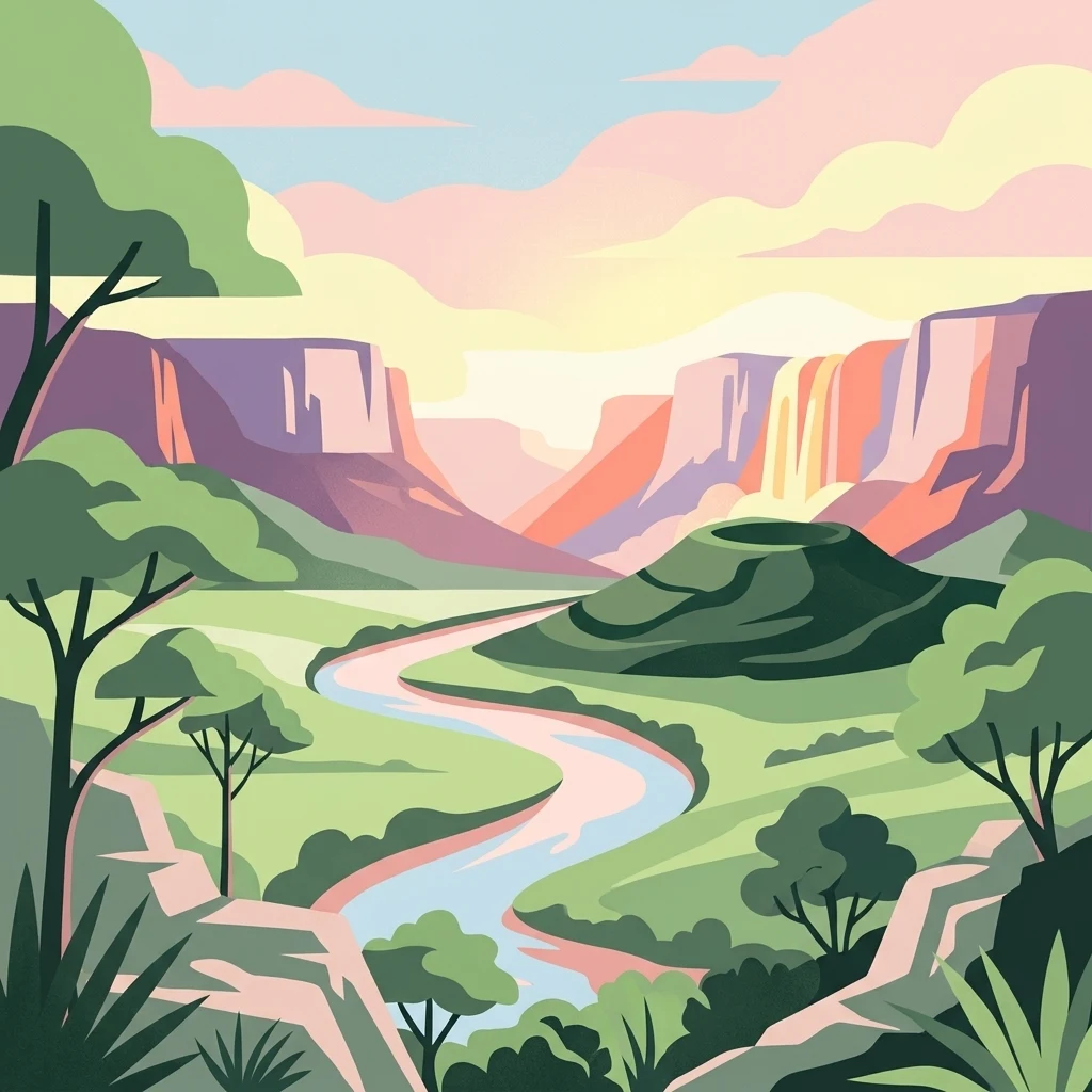
Valle del Lunarejo is best known for its dramatic combination of waterfalls, basaltic escarpments, and subtropical forest in a country mostly associated with open grasslands and rolling hills. The protected landscape is celebrated for the exceptional biodiversity packed into its small area, particularly its birdlife with more than 150 recorded species, several of which have unusually strong populations here compared to the rest of Uruguay. The valley is also recognized for its geological interest as a contact zone between the Arapey and Tacuarembó formations, where ancient basalts meet continental sandstones, producing the cliffs, cascades, and sheltered microclimates that shape the area's vegetation, fauna, and scenic character.
Valle del Lunarejo history and protected-area timeline
Valle del Lunarejo was first established as a protected area in 2001 under decree No. 10839/01 of the Intendencia de Rivera, which recognized the regional natural value of the valley and laid the groundwork for more formal protection. Although the lands within the protected area are largely privately owned, the decree created a framework for coordinated management between local government, national authorities, and landowners.
A second, more formal step came in October 2009, when decree No. 476/009 of 14 October 2009 selected and delineated the area of Valle del Lunarejo for inclusion in Uruguay's National System of Protected Natural Areas (Sistema Nacional de Áreas Naturales Protegidas), assigning it the category of Paisaje Protegido, or Protected Landscape. Under this framework, management is shared between the Dirección Nacional de Medio Ambiente (DINAMA), the Intendencia de Rivera (IMR), and the owners of the Colonia Aparicio Saravia, which is administered by the Instituto Nacional de Colonización (INC). This history reflects the gradual formalization of protection for an area whose natural values had long been recognized locally but required national-level designation to ensure lasting conservation.
Valle del Lunarejo landscape and geographic character
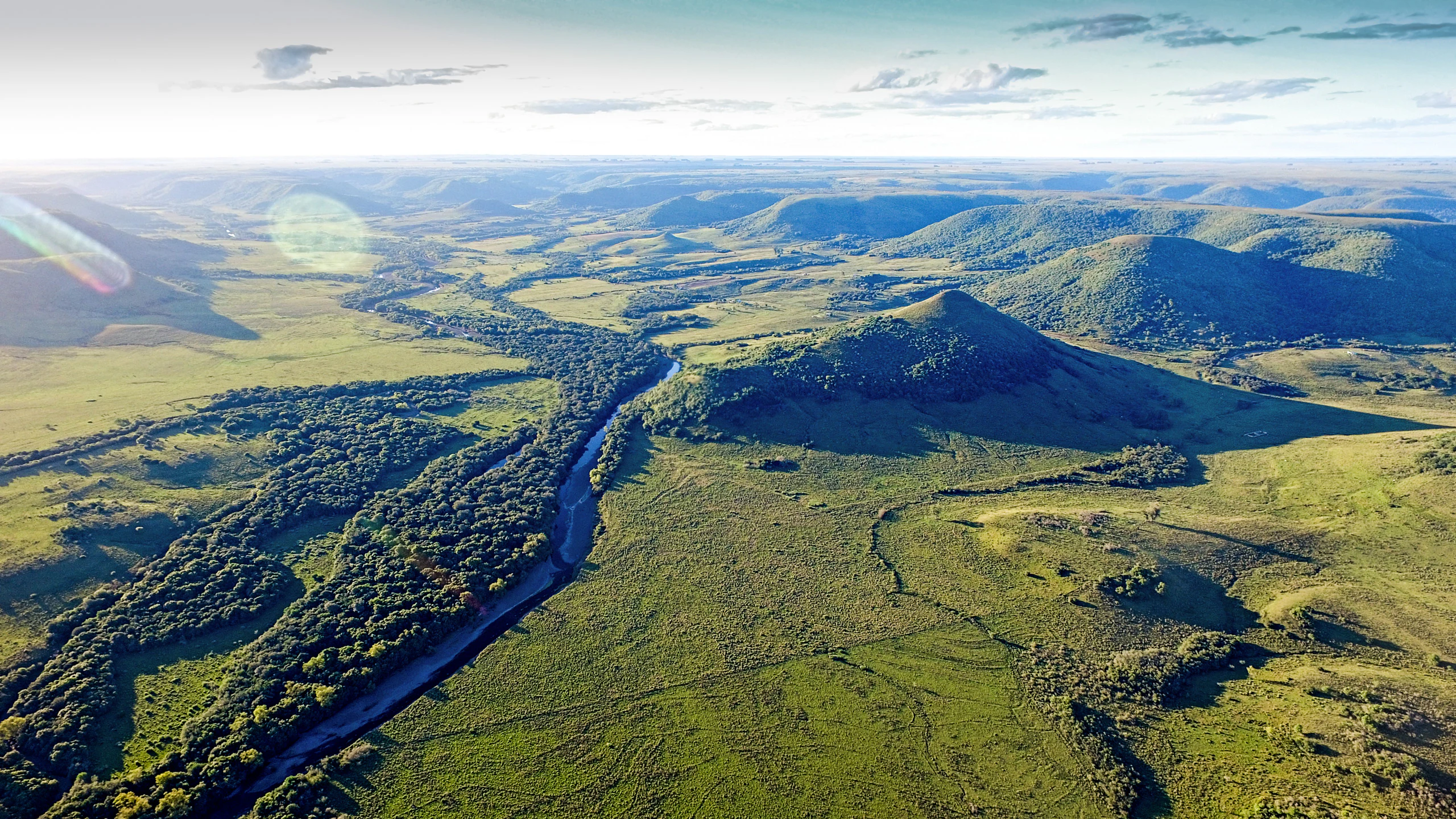
The landscape of Valle del Lunarejo is defined by the contrast between elevated uplands and a deeply incised river valley. The valley itself is carved by the Arroyo Lunarejo and a dense network of tributaries, including the Rubio Chico, de los Molles, de Eduardo, de los Difuntos, de las Yeguas, Quebrada Grande, Cerro Bonito, del Paso de la Laguna, and Gajo del Lunarejo. The Arroyo Lunarejo flows into the right bank of the Río Tacuarembó, anchoring a watershed that is bounded on the west and north by the Cuchilla de Haedo and on the south by the Cuchilla de la Venta Quemada.
Topographically, the protected area can be divided into four zones: high, relatively flat terrain with gentle undulation that becomes steeper near the headwaters of streams; a zone of steep basaltic escarpments and colluvial deposits with very pronounced slopes; mid-level plains of low gradient along drainage lines; and accumulation plains (glacis) where sediments settle at the base of the hills. Hills exceeding 350 meters in elevation give the valley a striking profile, and the numerous waterfalls and cascades that line the streams are one of the area's defining scenic features.
Geologically, the valley lies at the contact between the Arapey and Tacuarembó formations. It is built from tholeiitic basaltic lavas in layered flows, interleaved with eolian sandstones, with the volcanic rocks dating to the Mesozoic (Lower Cretaceous) and the continental sedimentary rocks originating in the Lower to Middle Mesozoic (Jurassic to Triassic). This varied geological substrate contributes directly to the rugged relief, the cliff formations, and the soils that shape the valley's vegetation patterns.
Valle del Lunarejo ecosystems, habitats, and plant life
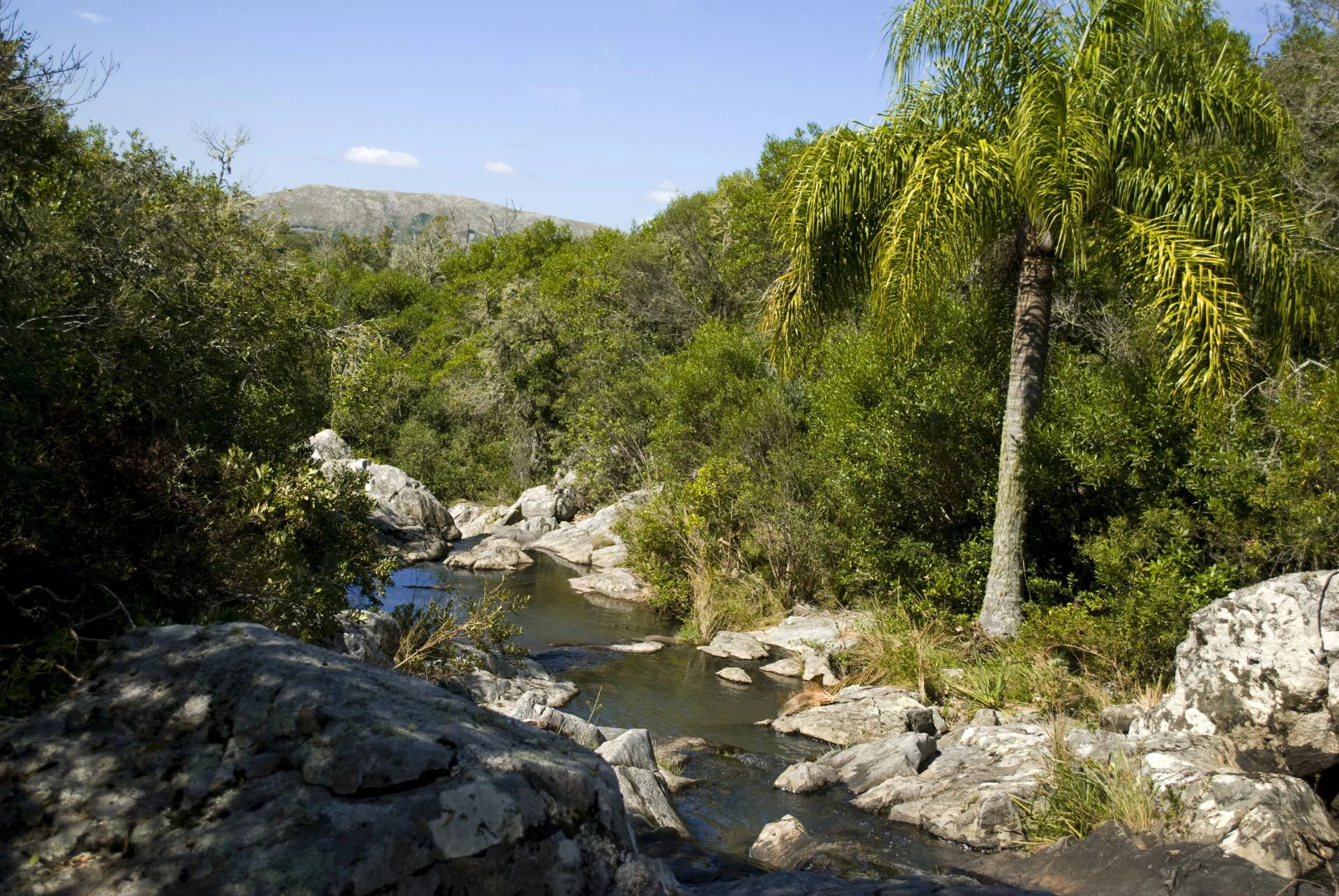
Ecologically, Valle del Lunarejo represents a transition zone where elements of subtropical forest mingle with the open landscapes typical of northern Uruguay. The combination of above-average precipitation, two local microclimates tied to the valley bottom and the ridges, and varied topography produces a rich mosaic of habitats within a relatively compact area.
In the valley bottom, gallery forests and associated woodlands dominate, with a dense understory of ferns, piperaceae, orchids, bromeliads, and cacti growing as epiphytes and on rock faces. Willows, sarandí, palo de leche, mataojo, ceibo, azota caballo, palo de jabón, tarumán, blanquillo, and quebracho are characteristic tree species, alongside shrubs and grasses that hold the slopes and the upper basins. The result is a layered vegetation structure that contrasts sharply with the surrounding countryside and supports a correspondingly diverse animal community. Because the climate supports a vegetation type often described as subtropical, Valle del Lunarejo provides one of Uruguay's most important refuges for moisture-loving forest species at the edge of their range.
Valle del Lunarejo wildlife and species highlights
Valle del Lunarejo is especially significant for its birdlife. More than 150 bird species have been recorded in the area, including some that are essentially restricted to this region of Uruguay and others that maintain notably larger populations here than elsewhere in the country. Characteristic species include the seriema, the maracaná parakeet, the tachurí coludo, the yellow bandurria, the viudita colorada, the gavilán pardo, and the corbatita boina negra, among others, reflecting a mix of open-country and forest-dwelling bird communities.
The valley is also an important area for herpetofauna. The ranita uruguaya and the sapito Devincenzi are among the most representative amphibians, while reptile species include the víbora de cascabel, which is locally extinct in southern Uruguay but persists here, along with the yarará, the víbora de coral, and the crucera. Mammal records include the oso hormiguero chico, the tatú rabo molle, the margay cat, the coatí, the coendú, the zorro perro, the comadreja mora, the jabalí, and the guazubirá, indicating a strong presence of both native small carnivores, armadillos, and ungulates typical of Uruguay's northern wildlands. Together, these groups make the protected area a key site for understanding the country's inland biodiversity.
Valle del Lunarejo conservation status and protection priorities
Valle del Lunarejo matters from a conservation perspective because it concentrates a level of ecological diversity uncommon elsewhere in Uruguay within a single, relatively compact watershed. Its mosaic of basaltic ridges, forested ravines, and streams supports a vegetation type with subtropical character that is not well represented in other parts of the national protected-area system. By protecting this combination of habitats, the area safeguards species that depend on humid forest conditions, rocky outcrops, and connected riparian corridors at the southern edge of broader South American forest distributions.
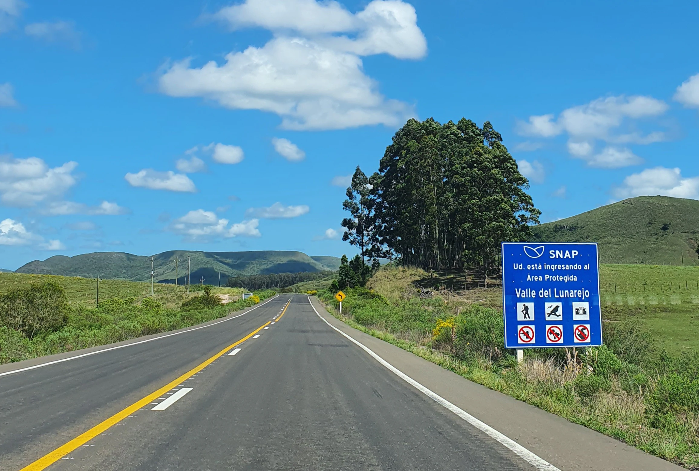
The protected landscape's inclusion in Uruguay's National System of Protected Areas (SNAP) in 2009 under the Paisaje Protegido category gives it formal national recognition. Cooperative management between DINAMA, the Intendencia de Rivera, and the private landowners of the Colonia Aparicio Saravia under the Instituto Nacional de Colonización reflects a model in which conservation is integrated with existing rural land use, rather than imposed through full state ownership. This arrangement is central to the long-term conservation significance of the area, helping maintain ecological processes across a working landscape while preserving its scenic and biodiversity values.
Valle del Lunarejo cultural meaning and human context
Valle del Lunarejo is embedded in the rural landscape of northern Uruguay, in a region historically shaped by livestock ranching and agricultural colonization. The involvement of the Instituto Nacional de Colonización through the Colonia Aparacio Saravia links the protected landscape to Uruguay's broader tradition of planned rural settlement, where family farms and livestock estates coexist with formally designated natural areas.
Local communities near the protected landscape, including Masoller, Boquerón, La Palma, and Lunarejo, are closely tied to the identity of the valley. Access routes such as Ruta 30, which traverses the protected area, connect these small localities and reinforce the integration of Valle del Lunarejo into the everyday life of northern Rivera. The protected landscape thus represents not only a natural heritage site but also a living element of the regional identity of northern Uruguay.
Top sights and standout views in Valle del Lunarejo
Among the strongest points of distinction at Valle del Lunarejo are the waterfalls and cascades that line the Arroyo Lunarejo and its tributaries, set against a backdrop of basaltic ridges reaching above 350 meters. The combination of steep escarpments, deeply cut valleys, and subtropical forest gives the area a scenic quality unlike most other Uruguayan landscapes, which tend toward open plains.
The area's biodiversity is another defining highlight, with more than 150 recorded bird species and a notable assemblage of amphibians, reptiles, and mammals that include several species at the limits of their ranges. The protected landscape's formal status within the SNAP system, combined with its shared management between national, departmental, and private stakeholders, adds a layer of institutional importance to its natural values.
Best time to visit Valle del Lunarejo
The climate of Valle del Lunarejo is subtropical and relatively mild, with warm summers, cool winters, and rainfall well above the national average. Mean temperatures hover around 19 degrees Celsius, with January averages reaching into the mid-20s and July averages dropping only into the low teens, meaning the area is generally accessible year-round in terms of temperature.
Because the region receives abundant rainfall, the valley's waterfalls, streams, and forest vegetation are at their most lush during and shortly after the wetter months, when the cascades are fullest and the forest understory is most vibrant. Cooler months tend to bring drier conditions and clearer skies, which can favor broader views of the surrounding ridges and a quieter atmosphere for exploring the valley. Visitors interested in birdwatching and lush forest scenery may find the warmer, wetter months especially rewarding, while those who prefer comfortable walking conditions and open views may favor the drier, cooler season.