
A comprehensive index of drift sands, river valleys, and heathland terrains defining the region.
Named Natural Features and Geographic Landscapes of Van Gogh National Park in the Netherlands
Trace the varied topography and natural landforms associated with Van Gogh National Park, an expansive protected region in North Brabant. This collection catalogs named natural sites including the drift sand systems of the Loonse en Drunense Duinen, the meandering waterways of the Dommelvallei, and the forested heathlands of Het Groene Woud. Gain insights into the complex geography and environmental patterns that span these protected territories.
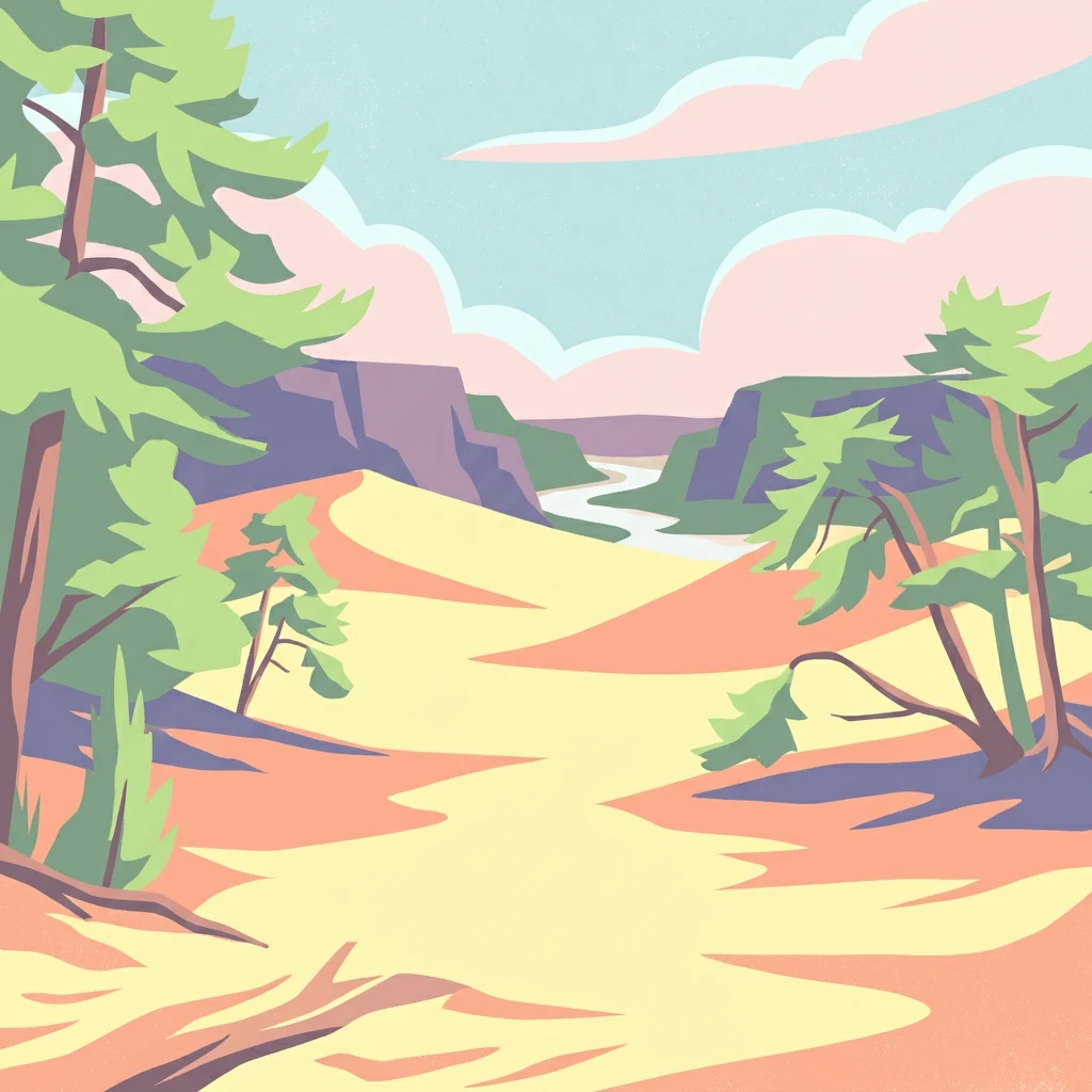
A geographic index of drift sand dunes, river valleys, and heathlands in North Brabant
Mapping the Diverse Natural Features and Landforms of Van Gogh National Park
Mapping hydrological networks in the Dutch landscape
Streams
Explore a focused collection of streams associated with Van Gogh National Park. This resource helps define the park's hydrological character by mapping individual channels that traverse the dunes, forests, and heathlands, providing insight into the region's diverse aquatic geography.
Regional watershed and landscape analysis
Rivers
A curated atlas of river features and natural watercourses associated with the protected landscape of Van Gogh National Park. This resource focuses on the spatial arrangement of the Dommel Valley waterways and the broader hydrological influence on the park's diverse terrain across North Brabant.
Mapped water features and regional basin exploration.
Lakes
Examine the distribution of natural lake systems and inland basins situated within the protected landscape of Van Gogh National Park. This index provides a clear view of how these aquatic features intersect with the park's diverse terrain, from the Dommel Valley river systems to the surrounding heathlands and wooded corridors.
Continue Exploring Van Gogh National Park's Geographic Identity and Mapped Landscapes
Deepen your understanding of Van Gogh National Park by exploring its specific protected area boundaries, diverse terrains, and regional geography within North Brabant. MoriAtlas provides structured data to navigate its unique blend of natural features and cultural significance, offering unparalleled atlas-based discovery of this dynamic Dutch landscape.