
Mori Atlas logo
Park earthquake history

Explore a chronological collection of recorded epicenters associated with this wetland landscape.

Historical Earthquake Records and Seismic Activity Catalogue for Worringer Bruch

Access a structured catalogue of documented earthquakes located within the vicinity of the Worringer Bruch nature reserve. Each entry provides event details, including magnitude, depth, and calculated distance from this protected floodplain site. These records reflect data sourced from external geological registries to support the study of regional seismic history within North Rhine-Westphalia.

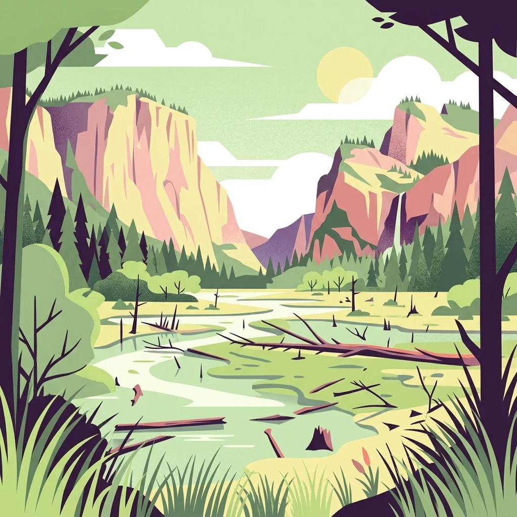
A stylized vector-style illustration of a marshy valley featuring a winding river, dead trees, coniferous forest, and steep cliffs in the background under a pale sun.

An old Rhine meander turned wetland sanctuary in northern Cologne.

Worringer Bruch

Worringer Bruch is a roughly 164 hectare wetland landscape in the far north of the city of Cologne, in the German state of North Rhine-Westphalia. Even though it is surrounded by one of the largest urban regions in Europe, the area feels surprisingly remote because large parts are difficult for people to access, which has helped preserve its character as a living floodplain landscape. Geologically, the area is an ancient meander bow of the Rhine that was cut off from the main river around 8,000 years ago and has since largely silted up into a swampy depression. Its name comes from the adjoining Köln-Worringen district, an old town with more than a thousand years of documented history. Despite being only a short distance from dense urban surroundings, the site stands as the lowest point of Cologne and one of the city's most important green oases. Since 1991, the wetland has been officially protected as a nature reserve, and it is also part of the European Natura 2000 network. Its mix of floodplain forest, meadows, reed areas, and traditionally managed orchards gives it a particular value for nature conservation, biodiversity, and quiet outdoor recreation in the Rhine-Ruhr region.

Location
Germany
Park type
Nature reserve
Established
1991
Area
1.6 km²
Explore Worringer Bruch Nature Reserve

Explore Worringer Bruch events by date and distance

Study mapped earthquake observations around Worringer Bruch

Earthquake observations around Worringer Bruch are connected to the wetland by epicentre and distance, not claimed as occurrences within its boundary. Study dates, magnitudes, depths, reported locations, distance measurements, and sources without assigning seismic causes to wetland or landscape qualities, evaluating present danger, or projecting future events.

Sort by
Magnitude
Location

This page describes catalogued earthquakes associated with the park by epicentre location and distance. It does not establish causation, assess current danger, or predict future earthquakes.

No earthquake records match the current filters

Park atlas

Continue from Worringer Bruch earthquake records

Find further parks and protected places beyond Worringer Bruch

The Worringer Bruch earthquake records transition to an unrelated group of parks and protected places. These links do not suggest shared wetlands, protected status, habitats, geology, seismic patterns, proximity, hazard exposure, risk, or the same completeness and quality of supporting sources.
A horizontal watercolor painting depicting a gentle, hazy green landscape with rolling hills, a line of trees, and a foreground meadow.
Protected landscapeNorth Rhine-Westphalia
2.2 km away#1 closest

South

Naturpark Rheinland: Geography and Protected Area Overview in North Rhine-Westphalia

A complex metropolitan nature park and lake district

Naturpark Rheinland represents a distinct convergence of reclaimed lignite mining landscapes, quiet lowland forests, and floodplain wetlands. Its mapped boundaries reveal a diverse terrain of ridges and river valleys that define the environmental character of the Cologne-Bonn metropolitan region.

Area
1,045 km²
Established
1959
Relief
Upland
Climate
Temperate
Nature reserveLeverkusen
About 4.1 km away#2 closest

Northeast

Krapuhlsee Nature Reserve: Protected Wetland and Gravel Lake Geography in Leverkusen

Exploring post-industrial habitat mosaics and conservation terrain

Krapuhlsee is a protected nature reserve in Leverkusen, North Rhine-Westphalia, known for its unique concentration of post-mining gravel lakes and nutrient-poor grassland habitats. Managed to support rare wild bee populations and ground-nesting birds, the reserve acts as a critical stepping-stone for ecological connectivity across the heavily industrialized Rhine corridor.

Area
0.082 km²
Established
1986
IUCN
IV
Relief
Lowland
Watercolor illustration of a peaceful lake with trees on a small island and flowering meadows in the foreground.
Nature reserveNordrhein-Westfalen
About 4.4 km away#3 closest

Northeast

Monheimer Baggersee Nature Reserve: Geographic Overview and Protected Landscape Mapping

Located within the Lower Rhine terrace of Nordrhein-Westfalen

Monheimer Baggersee represents a vital protected landscape shaped from a former gravel quarry. This reserve provides a comprehensive geographic look at mineral-substrate habitats, irregular lake shorelines, and specialized avian breeding grounds within the urbanized Mettmann district.

Area
0.712 km²
Established
1981
IUCN
IV
Relief
Lowland
Nature reserveNordrhein-Westfalen
About 7 km away#4 closest

East

Wupperinsel Nature Reserve: Mapped Protected Landscapes in Nordrhein-Westfalen

Riparian woodland, floodplain islands, and meadow habitats.

Discover the geographic role of Wupperinsel as a designated nature reserve within the Wupper River corridor. This site features a rare Glatthafer meadow, mature poplar lines, and mixed-woodland groves that provide essential habitat connectivity. Analyze the protected island boundaries and the layered floodplain terrain that characterize this significant ecological fragment in urban Germany.

Area
0.054 km²
Established
1987
IUCN
IV
Watercolor painting of a pastoral landscape featuring a winding river, green fields, and clusters of trees, rendered in a soft, impressionistic style on a white background.
Nature reserveNordrhein-Westfalen
About 8.5 km away#5 closest

Northeast

Southerberg Nature Reserve: Protected Woodland and Wetland Mosaic in Nordrhein-Westfalen

A rare habitat bridge on the Bergische Sand terrace.

Southerberg serves as a crucial nature reserve in Leverkusen, Nordrhein-Westfalen, balancing wet birch-oak forests with reedbeds and meadows. This compact protected area functions as a key ecological connector between larger regional habitats, showcasing a refined topographic transition from valley basin to sandy slope.

Area
0.149 km²
Established
1987
IUCN
IV
Relief
Lowland
A watercolor illustration of a gentle, winding stream through a green, hilly valley with deciduous and coniferous trees, against a background of soft, blue-toned mountains.
Nature reserveNordrhein-Westfalen
About 8.5 km away#6 closest

Southwest

Kernzone Ommelstal: Geographic Overview of the Protected Nature Reserve in Germany

A stream-valley mosaic within the Nordrhein-Westfalen loess plains.

Kernzone Ommelstal acts as a localized sanctuary of wet woodlands, ponds, and marshy ground situated in the fertile farming landscapes of Nordrhein-Westfalen. This 14-hectare reserve serves as a critical study of how small-scale landscape incisions, shaped by the Fliestedener Bach, create essential niches for habitat protection in intensively cultivated regions.

Area
0.143 km²
Established
2017
IUCN
IV
Nature reserveNordrhein-Westfalen
About 11 km away#7 closest

East

Wupperhang mit Henkensiepen und Hüscheider Bachtal Protected Area and Geographic Atlas

Forested river valleys and slopes in Nordrhein-Westfalen

Investigate the detailed geography of Wupperhang mit Henkensiepen und Hüscheider Bachtal, a nature reserve showcasing prime Hainsimsen beech forest and riparian habitats. The area represents a key ecological corridor along the Wupper River, featuring rugged side valleys, calcareous springs, and diverse floodplain vegetation that defines this protected woodland segment of the Bergisches Land.

Area
34.65 km²
Established
1985
IUCN
IV
A minimalist watercolor painting showing stylized green trees and rolling hills against a pale, soft-colored background.
Nature reserveNordrhein-Westfalen
About 11 km away#8 closest

North

Schlosspark Benrath Nature Reserve in Nordrhein-Westfalen: A Geographic and Landscape Atlas

Examining historic baroque design and floodplain woodland ecosystems.

Schlosspark Benrath encompasses a vital protected area where rococo architectural layout meets ecologically diverse floodplain forest. Known for its star-shaped linden avenues, ancient yew understory, and significant deadwood habitats, this reserve functions as a crucial green corridor within the lower Rhine terrace, supporting a wide range of bird species and rare beetles.

Area
0.443 km²
Established
2016
IUCN
IV
Relief
Lowland
MoriAtlas Explorer

Continue Exploring the Worringer Bruch Nature Reserve and Its Geographic Context

Deepen your understanding of Worringer Bruch by examining its historical formation as a Rhine meander and its current role as a protected wetland. MoriAtlas provides detailed landscape analysis to help you trace the geography of this significant nature reserve and its connections to the surrounding Rhine-Ruhr region.