
Mori Atlas logo
Park guides

Navigate wilderness conditions and seasonal planning for this Great Dividing Range landscape

Expert Guides and Geographic Planning Resources for Yengo National Park in New South Wales

Access the comprehensive collection of planning resources tailored for Yengo National Park. These focused materials address seasonal conditions within the rugged mountainous terrain of this Greater Blue Mountains World Heritage component, helping you prepare for its distinct wilderness environment and high elevation ridges.

Related tags

Wilderness AreaGreater Blue Mountains World HeritageNew South Wales National ParksAustralian BushlandMountain Conservation

Wilderness refuge in the Greater Blue Mountains World Heritage Area

Yengo National Park

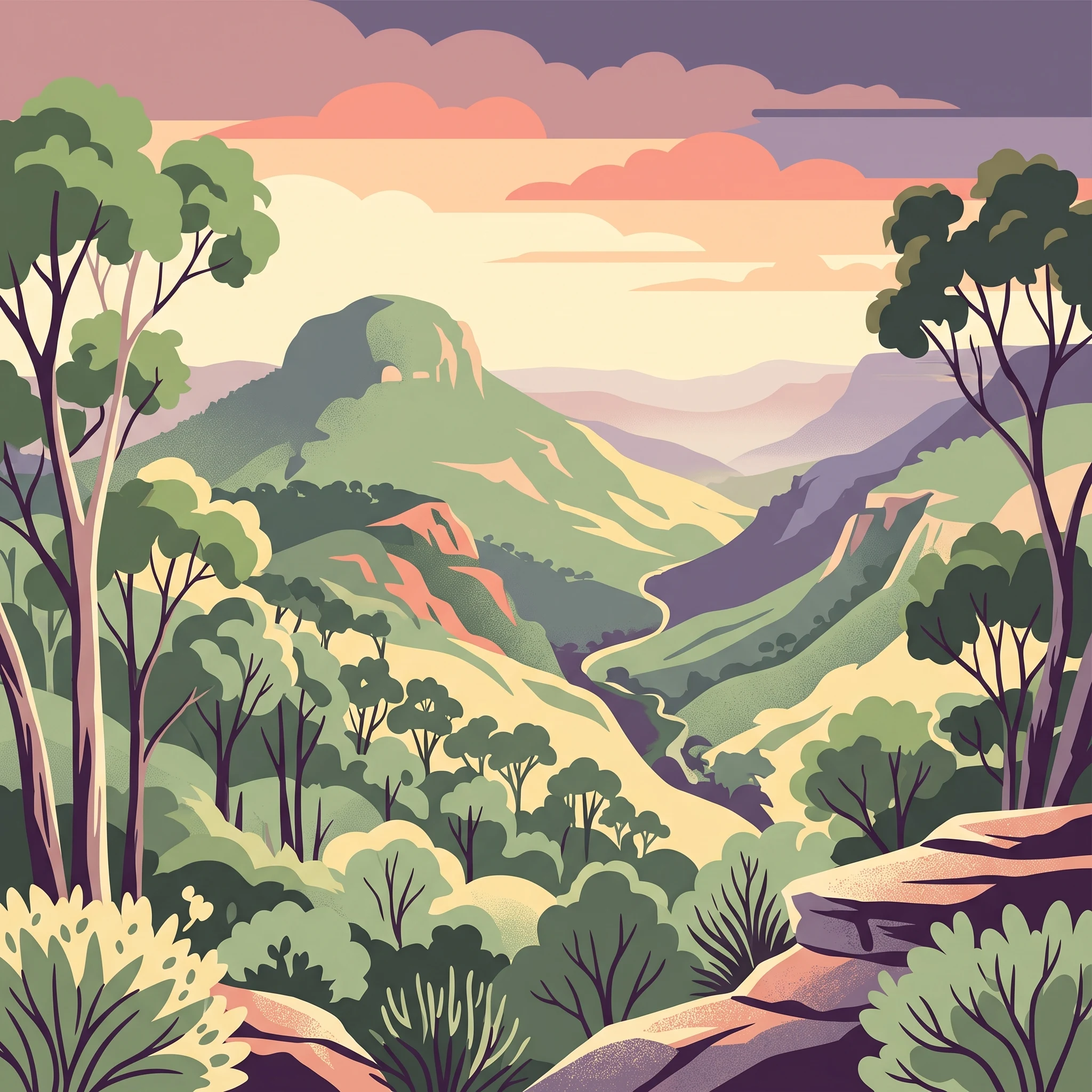
Yengo National Park occupies a substantial tract of wilderness in the Lower Hunter region of New South Wales, situated approximately 213 kilometres by road northwest of Sydney. The park encompasses 154,328 hectares of mountainous terrain within the Great Dividing Range, characterised by rugged ridges, forested valleys, and the Macdonald River system flowing through its interior. The landscape reflects the geological diversity of the region, with the park serving as a critical conservation corridor within the broader Greater Blue Mountains Area network of eight protected areas. Yengo was formally established as a national park on 11 March 1988, receiving IUCN Category Ib designation as a wilderness area, reflecting its high level of protection and minimal infrastructure. The park is bounded by the small settlements of Bucketty and Broke to the east, Wollombi Brook to the north, the Putty Road and Mellong Range to the west, and connects to Parr State Conservation Area and Dharug National Park to the south. Access is primarily via Yengo Creek Road off the historic Great North Road near the village of Laguna.

Location
Australia
Park type
National park
Established
1988
Area
1,543.3 km²
Highest point
668 m
Yengo National Park Protected Landscape
1 guide

Compare topic-led resources for seasonal timing and terrain conditions

Published Guide Collection for Yengo National Park Planning

Explore the complete published guide collection for Yengo National Park, featuring focused resources on seasonal timing and rugged terrain conditions. Each article helps readers evaluate temperature patterns against limited area development before planning a visit.
MoriAtlas Explorer

Continue Atlas Exploration of Yengo National Park's Geographic Features

Deepen your understanding of Yengo National Park by exploring its precise geographic setting and mapped terrain. Investigate its role as a protected landscape within New South Wales and the broader Australian atlas. This focused exploration provides essential context for understanding the park's natural characteristics and conservation significance.