
Analyzing the geological relief, rock exposure, and valley architecture across the Romanian landscape.
Canyon Formations and Deeply Incised Landscapes within the Protected Areas of Romania
The Romanian landscape contains various deeply incised canyons that showcase complex geological histories and steep, exposed rock sequences. These features, often shaped by tectonic activity or fluvial erosion, represent significant terrain elements within the nation's protected natural areas. This geographic collection focuses on the specific identity, drainage relationships, and enclosing topography of individual canyons located throughout the country.
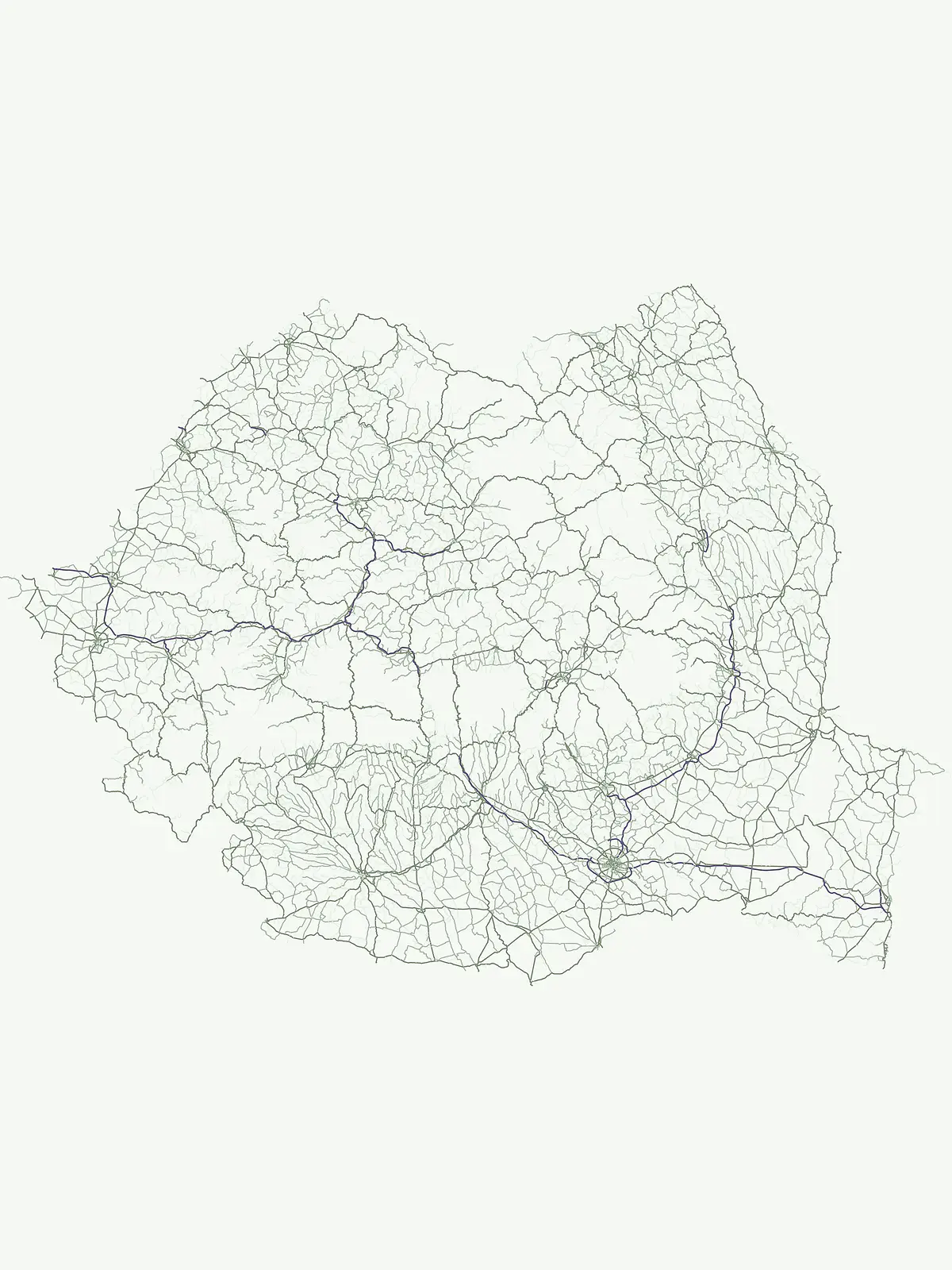
Map the deeply incised valleys and steep-sided canyon geology of Romania
Browse Named Canyon Landscapes in the National Parks of Romania
Registered canyon profiles within the protected areas of Romania reveal the steep-sided valley relief and exposed geological layers preserved across the country's national park system. Geographers can compare localized canyon landscapes to examine how river drainage and mountain uplift vary across different regional park terrains.
No natural features found
Map different hydrological, ecological, and physical landscapes throughout the country
Diverse Protected Landforms Beyond Canyons in the National Parks of Romania
Hydrologic features and riverine geography
Rivers
Explore identified rivers and natural watercourses occurring within the borders of Romanian protected areas. Each entry details the geographic context of these water systems, providing a clear look at their role in shaping the regional terrain and supporting natural habitats throughout the country.
Regional geography of watercourses in Romania
Streams
A stream is a defined natural flowing watercourse, serving as an essential drainage element throughout the mountainous and varied terrain of Romania. This atlas focuses on mapping these hydrological entities as they appear within the boundaries of protected areas and national parks. Gain insight into the specific characteristics of individual streams, their tributary connections, and their placement within the broader geographic and natural landscape context of the country.
Geographic inventory of natural surface openings
Cave entrances
Explore documented cave entrance locations situated within the protected natural landscapes of Romania. This repository captures specific surface openings, including karst, collapse, and erosion-formed voids, helping to map the physical connection between external environments and underground systems throughout the country.
Mapped summit records and topographic data for Romania
Peaks
Explore an extensive map of named summits situated within the protected areas of Romania. This database provides structured details on elevation, mountain massif alignment, and ridge positioning to support geographic investigation of these specific highland features.
Natural basins and standing water in Romanian protected landscapes
Lakes
Access a structured collection of named lake features located throughout Romania. This resource provides geographic context for inland basins, covering the natural origins and hydrologic settings of these significant water bodies as they exist within the country's protected terrain.
Mapping highland terrain and regional geological structures
Mountain ranges
Investigate the complex mountain range systems spanning the territory of Romania. This curated data set details connected ridges, peaks, and highland massifs linked to national protected areas, providing a clear overview of the country's physical geography and regional land structures.
Geographic analysis of Romanian coastal land formations
Peninsulas
Investigate the specific peninsulas identified within the protected landscapes of Romania. This dataset highlights the relationship between these land-water projections and the broader national geography, offering a structured way to observe how coastal features integrate with established natural reserves.
Examining engineered water systems across Romania
Reservoirs
Investigate the formal properties and geographic placement of reservoirs found throughout Romania. This collection provides structural data on modified water bodies associated with various protected areas, offering insights into how dams, impoundments, and managed diversions occupy the national terrain.
Continue Exploring Romania Natural Features and Park Topography
Access the comprehensive MoriAtlas registry of named natural features found within Romania. This resource connects specific landforms to broader regional geography, allowing for a detailed examination of protected landscapes and terrain distribution across the national park system.