
A comprehensive index of geological, coastal, and forest terrain across protected regions
Named Natural Features and Geographic Landmarks Associated with Taiwan National Park Landscapes
This geographic collection maps named natural features found within the protected landscapes of Taiwan. By examining the relationship between specific terrain types and national park boundaries, users can better understand the island nation's complex physical geography. The data provides a structured pathway to explore mountain ranges, coastal systems, and forest ecosystems that define the environmental context of these regions.
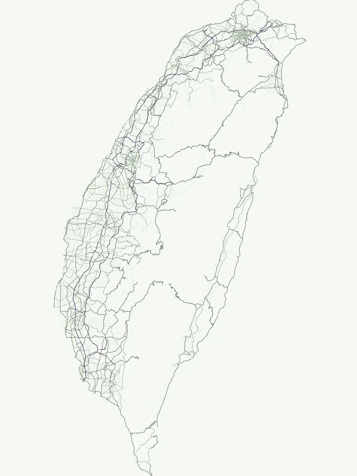
Individual landforms and waters add detail to an island atlas
Map Taiwan's named natural features through national park geography
Topographic summit distribution across Taiwan
Peaks
Browse a focused collection of named peaks situated within Taiwan's protected lands. This atlas provides geographic data for summits, ridges, and massifs, allowing for a structured comparison of mountain features and their specific placement within the protected island geography.
Regional island distribution and protected area map context.
Islands
Access a structured inventory of islands situated within Taiwan protected landscapes. This collection provides clear mapping, geographic boundaries, and site-specific terrain data to help users trace the natural relationships between these landforms and the surrounding park environments.
Atlas of regional water systems and drainage basins
Rivers
Browse a curated collection of named rivers found throughout the protected terrains and national park systems of Taiwan. This resource focuses on the geographic mapping of water channels, tributaries, and their broader roles within local and regional drainage basin structures.
Regional analysis of lakes across Taiwan protected lands
Lakes
Explore a focused selection of lakes found throughout Taiwan, emphasizing their unique basin formation and environmental placement within protected areas. This collection provides clear geographic context for these natural water bodies, helping to visualize their role in the wider terrain of the region.
Coastal landform analysis and regional geography
Bays
Access a structured inventory of bays throughout Taiwan. This resource maps the relationship between recessed shorelines and adjacent protected lands, offering a clear geographic perspective on how these water bodies define the island's coastal character and regional environmental boundaries.
Geographic woodland mapping across the island nation
Forests
Browse a curated collection of identified forest features located throughout the national parks and protected zones of Taiwan. Use this geographic resource to examine specific woodland boundaries and their physical presence within the island terrain, providing a focused view of tree-dominated landscapes that define regional conservation areas.
Atlas of protected natural stream descents
Waterfalls
Examine the diverse catalog of waterfall formations identified within the territorial protected areas of Taiwan. This data provides a structured view of how river channels descend over rock steps, fault lines, and volcanic layers, offering a clear geographic perspective on the country's hydrology and natural terrain.
Continue Exploring Taiwan's National Parks and Protected Landscapes
Deepen your understanding of Taiwan's natural geography by continuing to explore its dedicated national parks and protected areas. This structured browse experience helps to map the spread of conservation landscapes across the island nation, offering a granular view of park boundaries and regional geography for informed discovery.