Mori Atlas logo
Park earthquake history

A historical data catalogue of documented seismic events mapped relative to this Danube valley landscape.

Recorded Earthquake History and Seismic Activity near Donau zwischen Munderkingen und Riedlingen

Explore an atlas-based collection of seismic records located within the vicinity of the Donau zwischen Munderkingen und Riedlingen protected area in Baden-Württemberg. This dataset organizes historical earthquake events identified by epicentre proximity to the floodplain forests and limestone slopes of the Danube valley. Each record includes standardized event details, depths, and calculated distances to provide a clear view of regional seismic history.

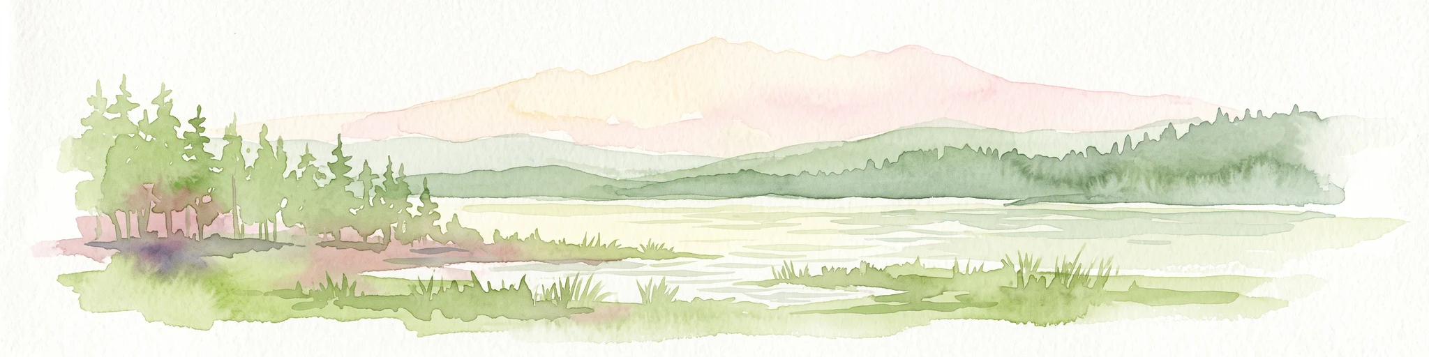
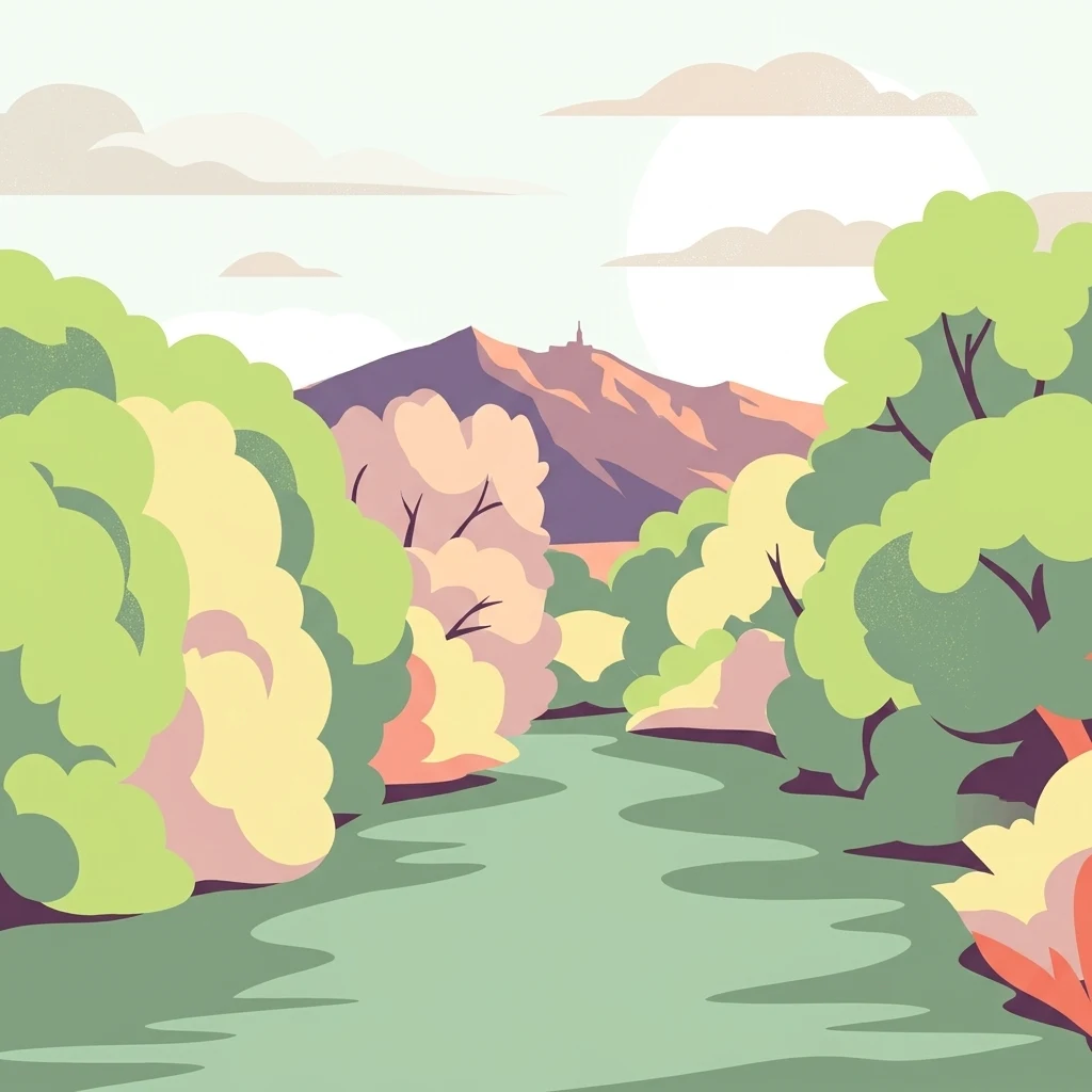
Digital illustration of a calm river winding through a forest toward a mountain range under a light sky.

A Danube valley Natura 2000 site protecting gallery forests, floodplain arms, and Jurassic limestone cliffs in Baden-Württemberg.

Donau zwischen Munderkingen und Riedlingen

Donau zwischen Munderkingen und Riedlingen is a European protected landscape in eastern Baden-Württemberg, Germany, spanning the upper Danube valley between the towns of Munderkingen and Riedlingen. It forms part of the Natura 2000 network as a Fauna-Flora-Habitat (FFH) site, covering roughly 1,433 hectares across fourteen separate sub-areas along the river. The identity of the site is shaped by the Danube itself, whose meandering course through a limestone plateau has produced a sequence of gallery floodplain forests, old river arms, and exposed slope habitats. The valley slopes are rich in rock outcrops, quarries, caves, and pioneer grasslands, while the surrounding plateau is largely agricultural, dominated by grassland use rather than woodland. Ecologically, the area stands out for combining aquatic, semi-aquatic, and dry limestone habitats in close proximity. Wetland types along the Danube contrast sharply with orchid-rich calcareous grasslands, tufa springs, and beech forests on the slopes, making the site an unusually compact concentration of habitat diversity within the Swabian Alb region.

Location
Germany
Park type
Protected area
Established
2019
Area
14.3 km²
Donau zwischen Munderkingen und Riedlingen Geography

Compare Donau zwischen Munderkingen und Riedlingen records and distances

Review earthquakes around Donau zwischen Munderkingen und Riedlingen

For Donau zwischen Munderkingen und Riedlingen, the catalogue derives each earthquake association from epicentres and distance, not an assumption that it occurred inside the site. Dates, magnitudes, depths, place labels, distance measurements, and original sources support historical examination without implying cause, present hazard, or a forecast.

Sort by
Magnitude
Location

This page describes catalogued earthquakes associated with the park by epicentre location and distance. It does not establish causation, assess current danger, or predict future earthquakes.

No earthquake records match the current filters

Park atlas

Leave the Donau zwischen Munderkingen und Riedlingen earthquake catalogue

Explore more parks after Donau zwischen Munderkingen und Riedlingen

The atlas continues from Donau zwischen Munderkingen und Riedlingen to an independently assembled group of protected places. Their inclusion does not signal common landscape, legal status, earthquake history, geology, proximity, seismic relevance, hazards, risk, or equivalent catalogue detail.
Protected landscapeBaden-Württemberg
About 0 km away#1 closest

Northeast

Untermarchtal Protected Landscape: Mapped Geography of the Upper Danube Valley

A regional conservation corridor within Baden-Württemberg

The Untermarchtal protected landscape features a striking transition between the broad Danube valley and the steep slopes of the Swabian Alb. This area protects diverse landforms including limestone hillsides and alluvial terrain, serving as an essential connective element in a broader network of protected lands along the upper Danube river.

Area
0.231 km²
Established
2005
IUCN
V
Protected landscapeBaden-Württemberg
About 4.3 km away#2 closest

West

Tobeltal Protected Landscape: Geological and Geographic Profile in Baden-Wurttemberg

Mapped gorge terrain and regional conservation geography

The Tobeltal protected area features a distinctive 2.2 kilometer valley profile carved into Jurassic limestone. Its narrow gorge, wooded slopes, and Kesselbach spring wetland provide a representative example of the varied terrain found within the Mittlere Flächenalb region of Germany.

Area
0.31 km²
Established
1958
IUCN
V
Protected landscapeBaden-Württemberg
About 11 km away#3 closest

Northwest

Hinter Gleinsgelesberg Protected Landscape: Swabian Alb Geographic Atlas

Successional forest terrain in Baden-Württemberg

Hinter Gleinsgelesberg is a protected forest patch situated on the karstic plateau of the Swabian Alb in southwestern Germany. Originally used as grazing land, the terrain now exhibits a characteristic transition to closed successional woodland. This site acts as a representative element within the broader network of landscape protection areas located along the Mittlere Flächenalb plateau near Pfronstetten and Hayingen.

Area
0.062 km²
Established
1955
IUCN
V
Relief
Upland
Protected landscapeBaden-Württemberg
About 11 km away#4 closest

Northwest

Fuchslochhalde, Ruckenhalde, Steighalde Protected Landscape Map and Regional Geography

Swabian Alb dry-valley terrain and juniper heath habitats

Fuchslochhalde, Ruckenhalde, Steighalde functions as a linear landscape protection area in the Reutlingen district. This site preserves rare juniper heath relicts, boulder fields, and limestone scree slopes across a four-kilometer stretch of the Tiefental valley flank. It is a vital example of regional conservation that documents the transition from historical sheep pastures to natural woodland succession within the broader Mittlere Flächenalb landscape.

Area
0.568 km²
Established
1955
IUCN
V
Watercolor painting of a tranquil wetland landscape with pine trees, grassy shorelines, and distant rolling hills against a soft background.
Nature reserveBaden-Württemberg
17 km away#5 closest

South

Feuchtgebiete um Bad Schussenried: Protected Wetland Mosaic and Regional Geography

Nature reserve complex in the Upper Swabian hill country

Feuchtgebiete um Bad Schussenried is an essential European FFH site spanning seven protected sub-areas. The landscape encompasses a dense patchwork of lowland fens, alder forests, and kettle-hole lakes, representing the unique glacial terrain of Upper Swabia through its intricate peatland and spring mire systems.

Area
6.1 km²
Established
2019
Protected landscapeBaden-Württemberg
About 19 km away#6 closest

Southeast

Oberes Rißtal Protected Landscape: Glacial Geography and Wetland Corridors in Baden-Württemberg

Mapping the upper Riß river valley and its complex fen ecosystems

Oberes Rißtal stands as a crucial protected landscape in Baden-Württemberg, distinguished by its winding river meanders and multi-layered glacial terrain. This area merges the Riß and Würm ice-age legacy with active riparian habitats, including extensive lowland fens, kettle depressions, and traditional meadows. Explore the mapped boundaries and geographic features that define this essential Upper Swabian corridor.

Area
41.638 km²
Established
1975
IUCN
V
Watercolor painting of a rolling landscape featuring light green hills, patches of trees, and white rock outcrops against a soft, light-colored background.
Protected landscapeBaden-Württemberg
About 24 km away#7 closest

North

Öde im Hartberg Protected Landscape and Geological Features of the Middle Swabian Alb

Juniper heathland and limestone outcrops in Baden-Württemberg

Situated at the mouth of the Fischburgtal, Öde im Hartberg is a significant protected area on the Middle Swabian Alb. The site preserves a unique mosaic of open heath and successional woodland, anchored by the Hartbergfels and Seeburger Nägelesfels limestone monuments. It offers a clear look at the geological and conservation landscape of this southwestern German region.

Area
0.101 km²
Established
1955
IUCN
V
Protected landscapeBaden-Württemberg
About 27 km away#8 closest

North

Wolfsschlucht Protected Landscape: Swabian Alb Gorge Geography and Regional Mapping

A key geotope within the central Swabian Alb mountain terrain.

Wolfsschlucht preserves a distinctive limestone gorge and ravine forest system within a compact 1.4 hectare area. Its geography highlights the intersection of karst landforms, steep valley relief, and layered conservation status, serving as a representative model of the central Swabian Alb's geological and ecological character in Baden-Württemberg.

Area
0.014 km²
Established
1955
IUCN
V
MoriAtlas Explorer

Trace the River Geography of Donau zwischen Munderkingen und Riedlingen

Explore the structured landscape details and mapped boundaries of this unique Natura 2000 protected area. Discover how the upper Danube weaves through the Swabian Alb, forming a diverse ecosystem of gallery forests and dry limestone habitats essential for regional conservation. Learn more about the geographic features that define this protected zone on MoriAtlas.