
Mori Atlas logo
Park guides

Focused timing context for Utah's sculpted high desert

Arches National Park visit-planning guide for its Utah landscape context

Use the available Arches National Park guides to plan around Utah's sandstone arches, fins, spires, and balanced rocks. The timing guide focuses on the mild conditions of April to May and September to October, explaining their appeal between extreme summer heat and freezing winter nights.

Related tags

Sandstone ArchesHigh DesertColorado PlateauGeological WondersUtah National Parks

World's highest concentration of natural sandstone arches in Utah's high desert

Arches National Park

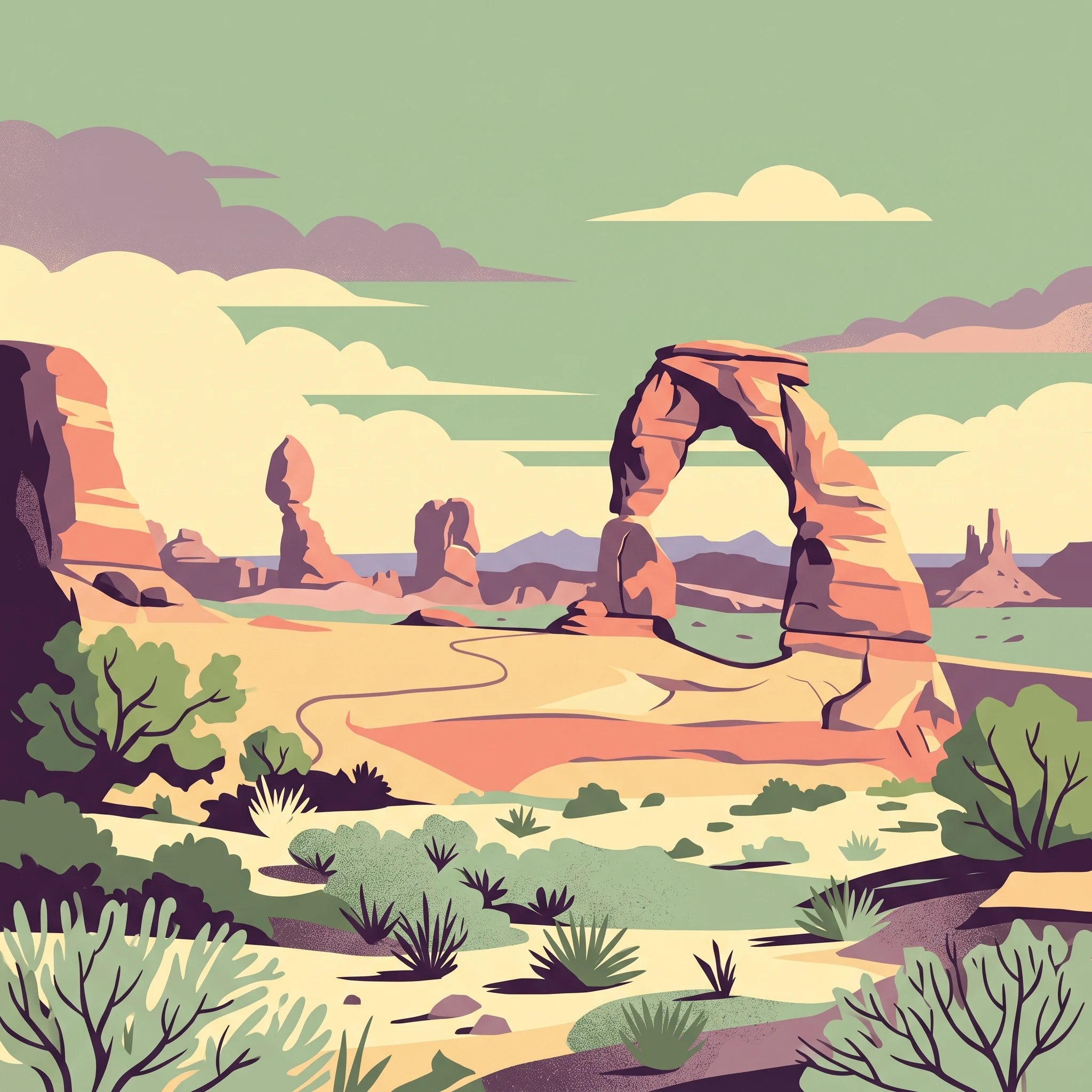
Arches National Park occupies a striking portion of the Colorado Plateau in eastern Utah, where the interplay of geological processes over hundreds of millions of years has created one of Earth's most remarkable landscapes. The park's foundational geology begins with a salt bed thousands of feet thick that was deposited in the Paradox Basin when an ancient sea flowed into the region approximately 300 million years ago and eventually evaporated. This salt layer was later buried beneath thousands of feet of sediment eroded from the Uncompahgre Uplift, and the weight of this cover caused the salt to liquefy and thrust upward, creating the domes and anticlines that form the underlying structural framework of the region. Over time, erosion stripped away the younger rock layers, exposing the salmon-colored Entrada Sandstone and buff-colored Navajo Sandstone that contain the park's arches. Today, visitors encounter a landscape of extraordinary diversity, from the delicate curves of Delicate Arch to the towering columns of the Courthouse Towers, the maze-like passages of the Fiery Furnace, and the petrified remnants of ancient dunes scattered across the terrain.

Location
United States of America
Park type
National park
Established
1971
Area
310.3 km²
Highest point
1,723 m
Arches National Park Protected Area
1 guide

Compare available reference materials for seasonal timing and weather patterns

Published Guides for Arches National Park and Sandstone Terrain

Published reference materials provide focused topic coverage for planning trips around specific seasonal windows in arid desert landscapes. Selected reading topics address optimal visiting periods, avoiding extreme temperatures, and navigating sandstone formations during comfortable months.
MoriAtlas Explorer

Continue Exploring Arches National Park's Unique Geographic Landscape and Map Boundaries

Deepen your understanding of Arches National Park by examining its precise protected area boundaries and regional geographic significance. This pathway enables structured exploration of the park's natural terrain and its placement within the Utah atlas, offering valuable context for conservation landscapes and mapped geography without logistical details.

Global natural geography