
Why Årslev Engsø stands out
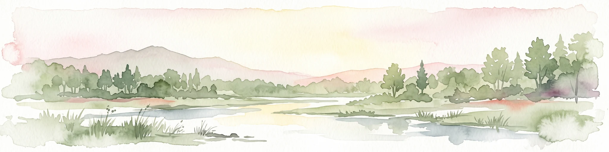
Årslev Engsø is best known as a successful example of ecological restoration, a relatively young lake that has become an important habitat for waterbirds and wetland flora near a major Danish city. The combination of open shallow water, grazed wet meadows, and developing reed beds draws both common species like greylag geese and rarer visitors such as osprey, white-tailed eagle, and black tern. The site is also notable as a demonstration of Denmark's nutrient reduction strategy, functioning as a constructed wetland that intercepts nitrogen and phosphorus from Aarhus Å before they reach Aarhus Bay.
Årslev Engsø history and protected-area timeline
The history of the Årslev Engsø basin extends back to the closing of the last ice age, when the Aarhus Å valley formed a long, navigable fjord known as Brabrandfjorden. For thousands of years this fjord extended close to twelve kilometers inland. Over centuries the fjord narrowed both naturally and through human modifications, including mills that exploited the river's gradient; the construction of Aarhus Mølle around 1289 is an important early example. The gradual infilling and freshening process eventually produced the Brabrand Sø and Årslev Engsø basins familiar from later centuries.
During the 19th century, changes in water level, including the removal of the mill dam at Slusebroen in 1873, caused the original Årslev Engsø basin to shrink and disappear. The former lakebed became marshland and seasonally flooded meadows, but the area remained prone to winter flooding.
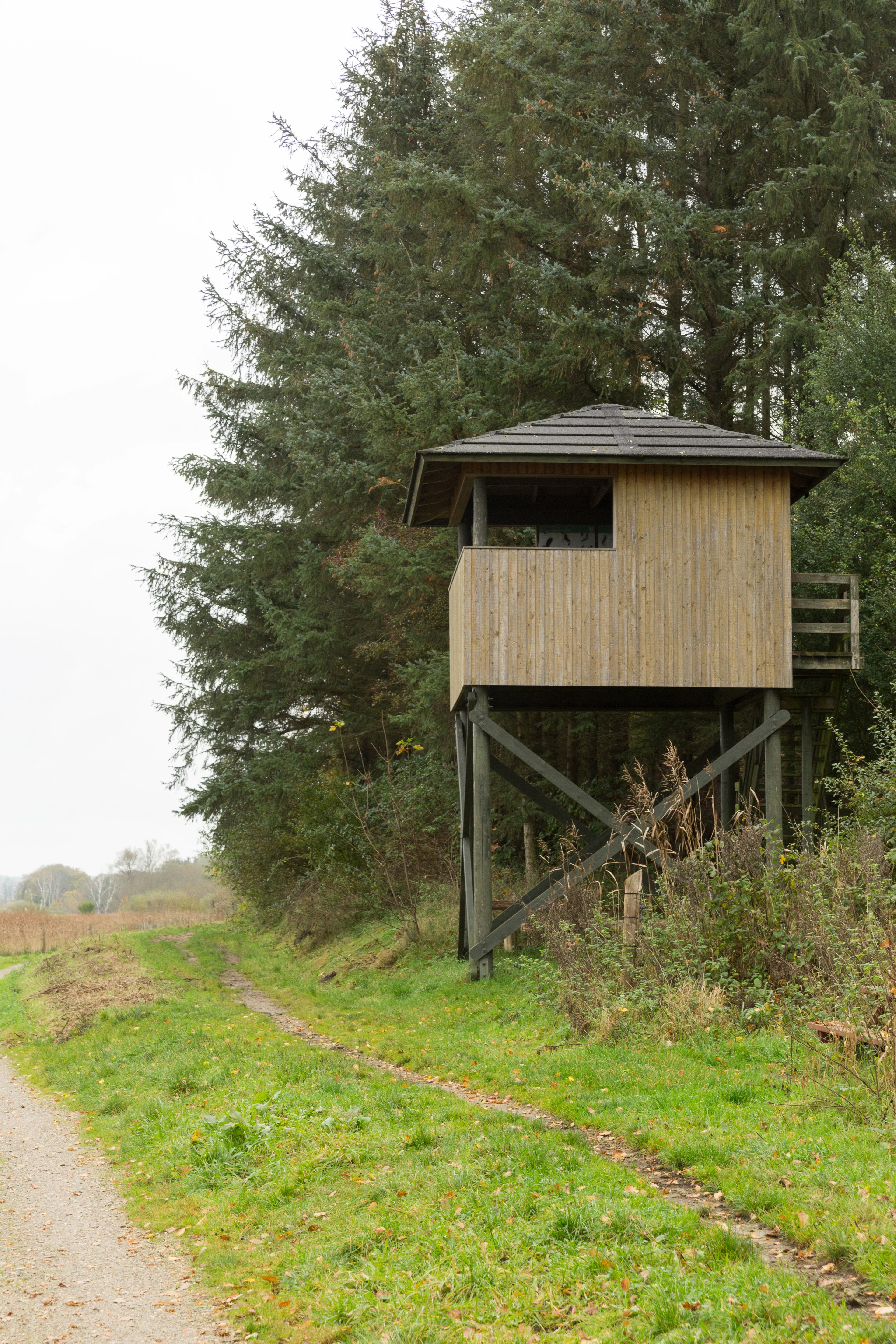
The 20th century brought repeated drainage attempts. The landowner Alfred Pontoppidan, who held the area as part of the Constantinsborg estate, tried in the 1920s and 1930s to embank and drain the meadows. In 1958, the Årslev-Ormslev Landvindingslag drainage association relaunched this effort with state support, despite opposition from the national Nature Conservation Council. Drainage was largely completed by 1963, after which the Aarhus Å was redirected into a canal north of the valley and pumping stations kept the meadows dry from former pump houses that later became birdwatching towers.
After decades of subsided, nutrient-impoverished farmland, shifting agricultural and environmental priorities opened space for restoration. By 1998 it became financially possible for the former Aarhus Amt to begin planning the lake. Political decisions in 2001 to 2002 led to the formal project, and in 2002 to 2003 the Aarhus Å was rerouted and the wetland re-flooded. The lake was officially inaugurated in 2003 after a cooperative effort between the county and Aarhus Municipality and a public purchasing program that compensated local landowners.
Årslev Engsø landscape and geographic character
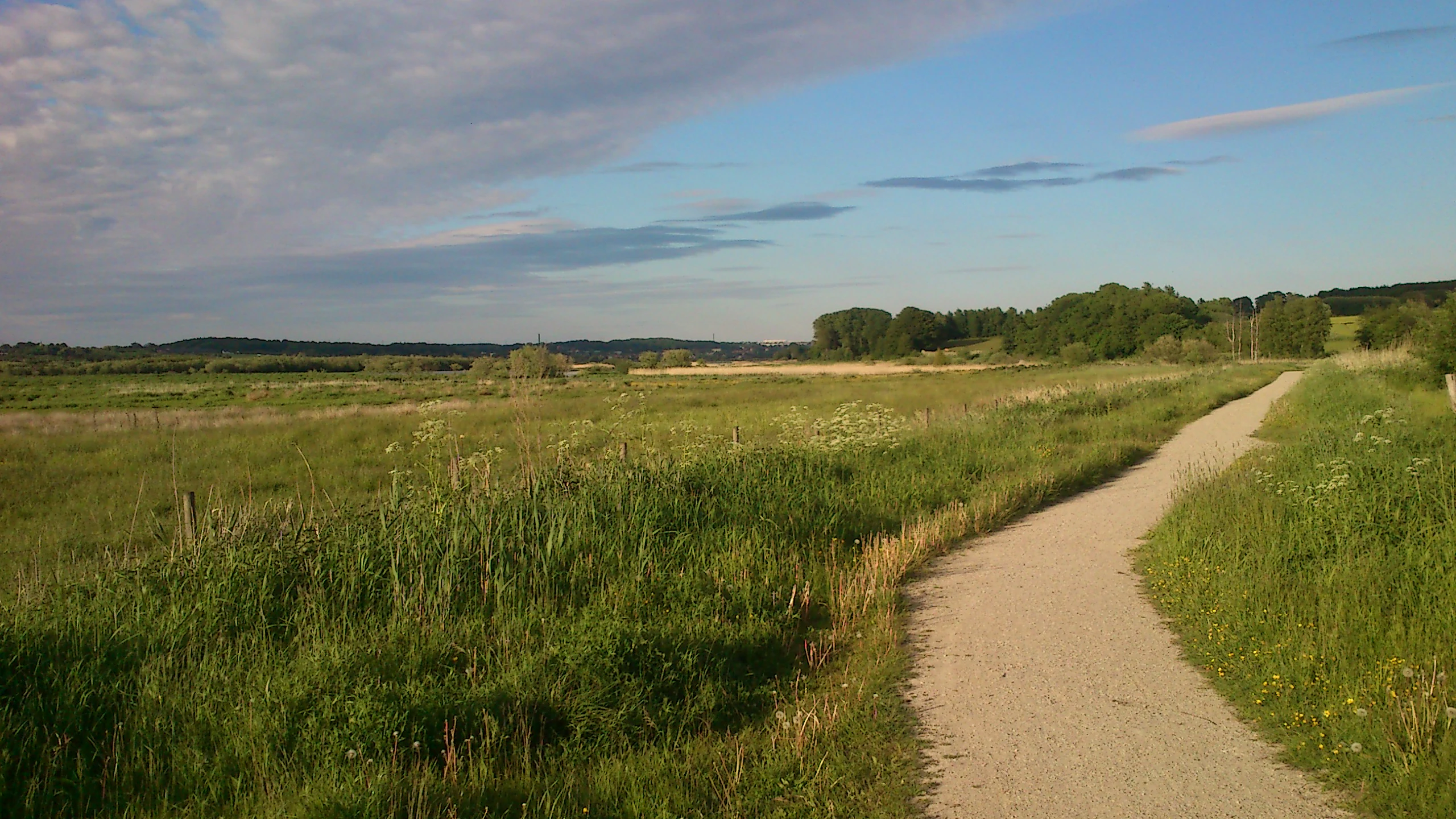
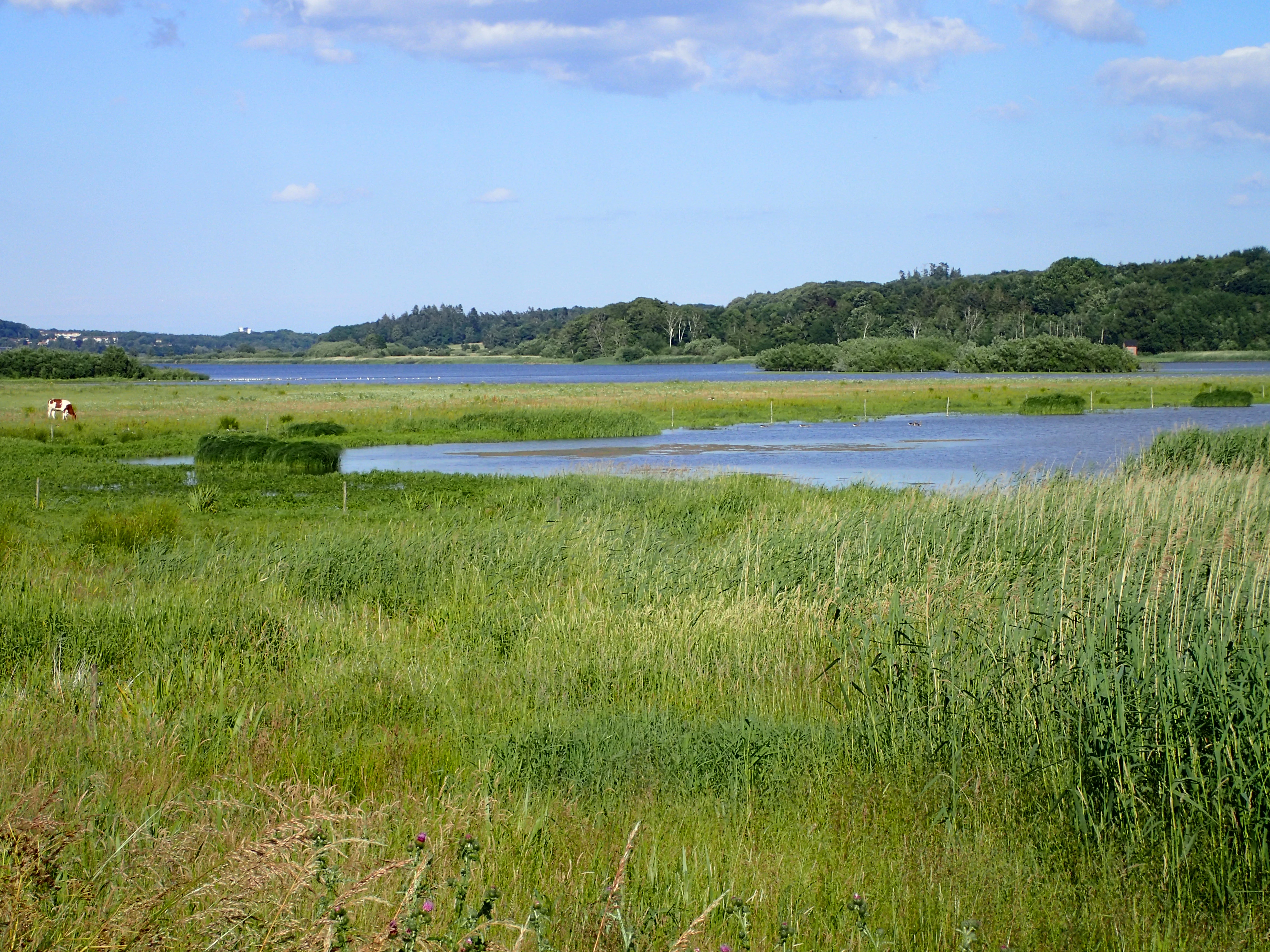
Årslev Engsø lies within a long tunnel valley that descends from inland Jutland toward Aarhus Bay. The valley floor holds a shallow, broad lake basin reaching up to roughly two meters in depth, fringed by gently sloping meadows, grazed grasslands, and developing reed beds.
Because the original valley geology supports compressible soils, the land surface here has a long history of subsidence after drainage. The return of water has reshaped the area into a mosaic of open water, wet meadow, and emergent vegetation, with the wettest zones slowly being claimed by reed swamp.
The visual character of Årslev Engsø is shaped by the tension between open, low landscape and urban backdrop. From many vantage points the Aarhus skyline is visible to the east, while the surroundings retain pasture-like openness, scattered birdwatching towers, walking paths, and the broad, shallow water surface that defines the site.
Årslev Engsø ecosystems, habitats, and plant life
The ecosystems of Årslev Engsø combine eutrophic open water, wet meadows, grazed grassland, and expanding reed swamp. Although the lake's ecological status is currently rated as poor due to high nutrient levels and elevated chlorophyll, this was anticipated as part of its function, since the lake was specifically designed to intercept nutrient loads from upstream.
As a designated habitat area, the lake is classified within the European Natura 2000 framework as a nutrient-rich lake habitat with floating plants and large pondweed species. Wetland flora is gradually establishing itself, including several orchid species expected to colonize the area over time. Wet meadows with rich-fen character are considered habitats of European importance and are protected under both national and EU obligations.
The much broader Aarhus Å valley, including adjacent Brabrand Sø, forms one of the more ecologically significant freshwater corridors in eastern Jutland. The return of natural water levels has set the stage for a renewed plant community that includes many species which had been locally absent for many decades.
Årslev Engsø wildlife and species highlights
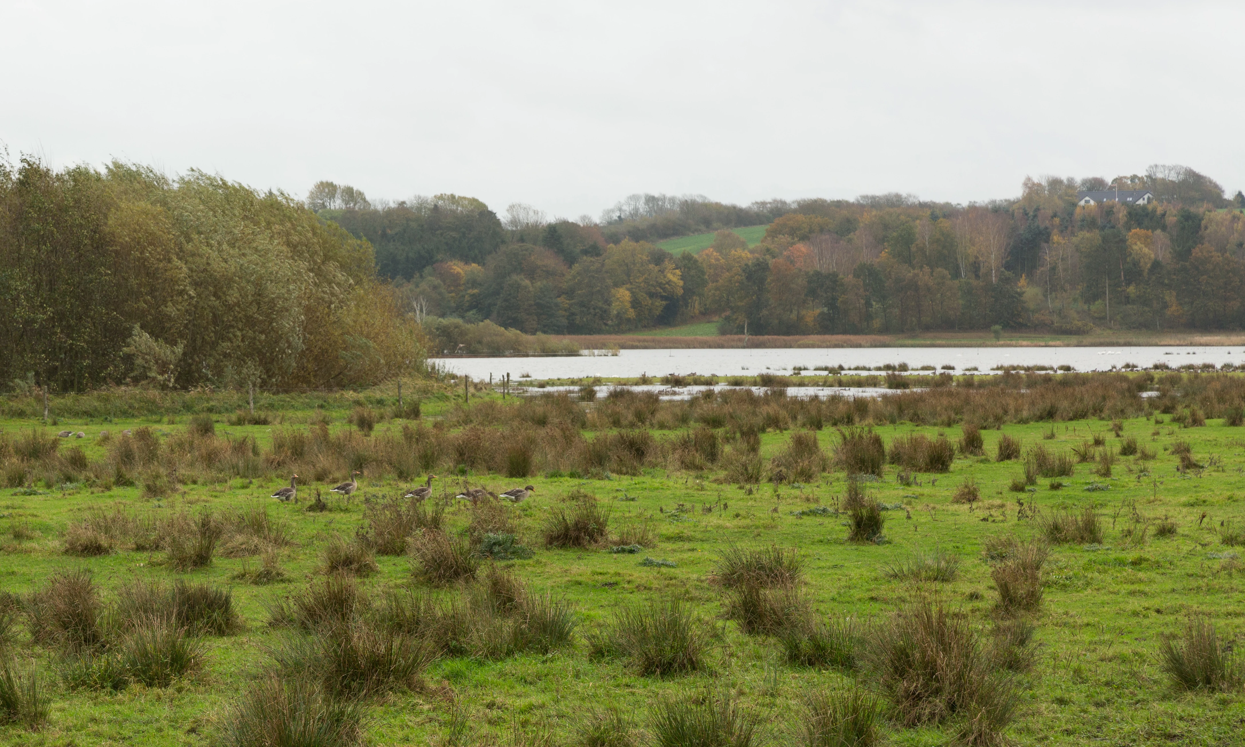
Årslev Engsø has rapidly become a key bird site in the Aarhus area. Although young, the lake has attracted numerous waterbirds, waders, and raptors, including rare vagrants. Regular observations include greylag geese, whose grazing is closely tied to the management of surrounding pasture; spoonbills; ospreys; white-tailed eagles; peregrine falcons; little gulls; Mediterranean gulls; black terns; Caspian terns; spotted crakes; broad-billed sandpipers; and buff-breasted sandpipers.
Extremely rare vagrants have also been recorded at the lake, including a Caribbean or greater flamingo, American teal, imperial eagle, pectoral sandpiper, red-rumped swallow, and brown shrike, illustrating the site's growing significance for unusual sightings in Denmark.
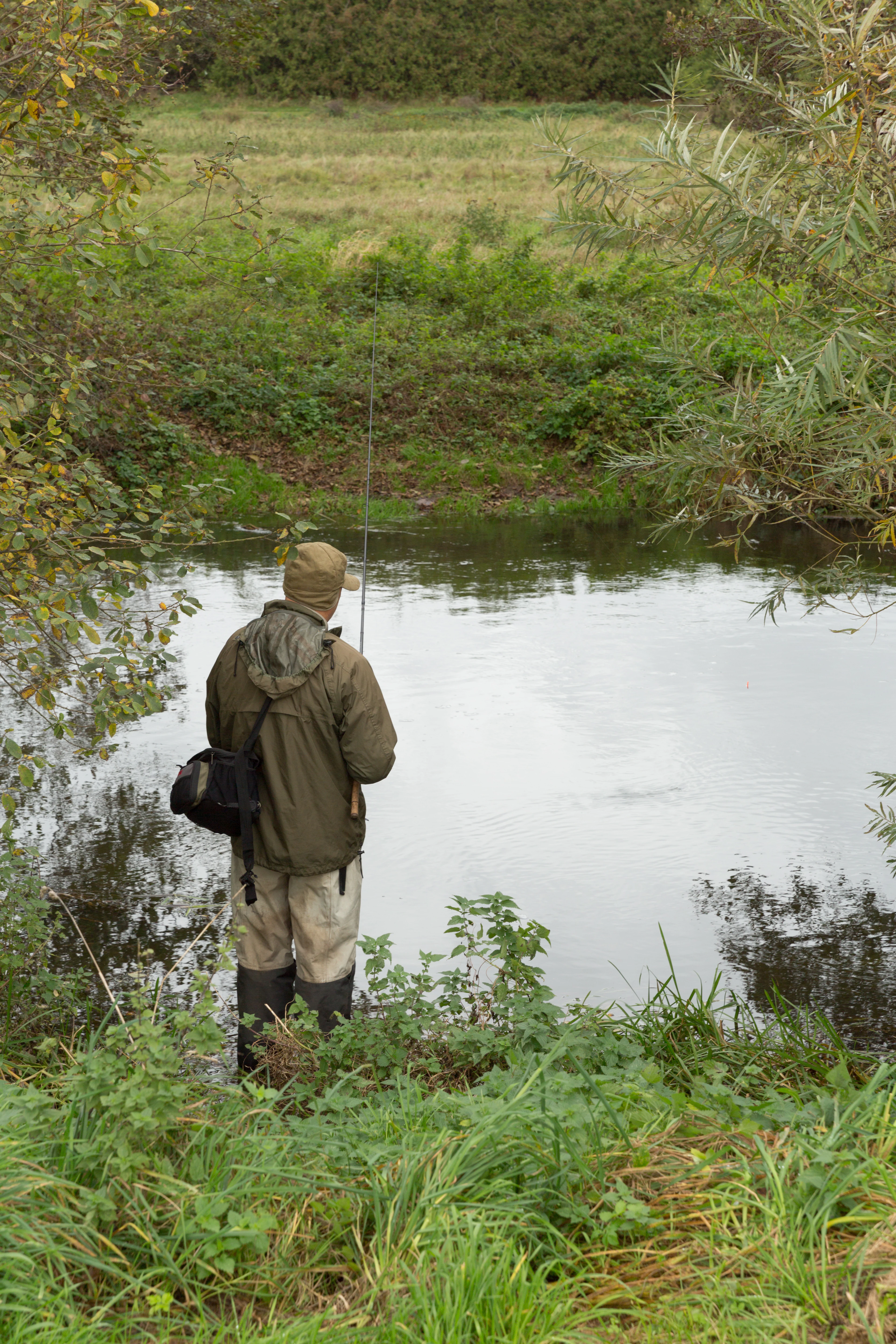
Mammals have also begun to use the new wetland, with foraging Daubenton's bats observed along the lake. The habitat has potential to host more demanding species as ecological recovery continues; bitterns may be expected to settle in the reed beds, and otter presence in the broader river system is a long-term possibility. However, the re-flooding has also had drawbacks: trout populations in the Aarhus Å have been negatively affected by increased predation along the slower waters.
Conservation experts treat the Årslev Engsø and Brabrand Sø area as ecologically interrelated, providing habitat for a mixture of common and rare wetland species in a landscape where such habitats have become scarce.
Årslev Engsø conservation status and protection priorities
Årslev Engsø is part of Denmark's broader effort to reverse centuries of wetland drainage and nutrient pollution, a national pattern that has reduced the country's wetland landscapes to a small fraction of their historical extent. The lake was created under the framework of the Danish Aquatic Environment Plan, particularly Plan II, as a constructed wetland to capture nutrients before they reach the marine environment of Aarhus Bay.
Nutrient capture is a measurable conservation function. The lake is expected to take up roughly 80 tons of nitrogen each year, along with smaller amounts of phosphorus, contributing to reduced eutrophication pressure downstream. This is also intended to lower the risk of oxygen depletion and harmful algal blooms in the bay.
In addition to its nutrient function, the site is designated as a Natura 2000 area and an EU Habitat Area, anchoring the area's conservation status at the European level. Wetland types found here, particularly rich-fen meadows and nutrient-rich lake habitats, are considered habitats of European importance and are subject to both Danish and international protection obligations.
Årslev Engsø cultural meaning and human context
Although Årslev Engsø is primarily an ecological and water-management project, the surrounding landscape carries long-standing cultural layers. The Aarhus Å valley has supported human activity for thousands of years, from the historical fjord navigation of the Viking and early medieval periods to the milling economy that shaped Aarhus from the late 1200s onward. Aarhus Mølle, established around 1289, represents an early industrial use of the river that gradually transformed the fjord into a freshwater system.
The agricultural estate of Constantinsborg, on the south side of the area, has long owned much of the surrounding farmland, and its 20th-century drainage efforts reflect broader Danish trends in land reclamation that have since been partially reversed. The surrounding residential districts of Brabrand and Årslev, integrated with the rural landscape, reflect a typical Aarhus-area pattern where city, suburb, and open land come together.
Top sights and standout views in Årslev Engsø
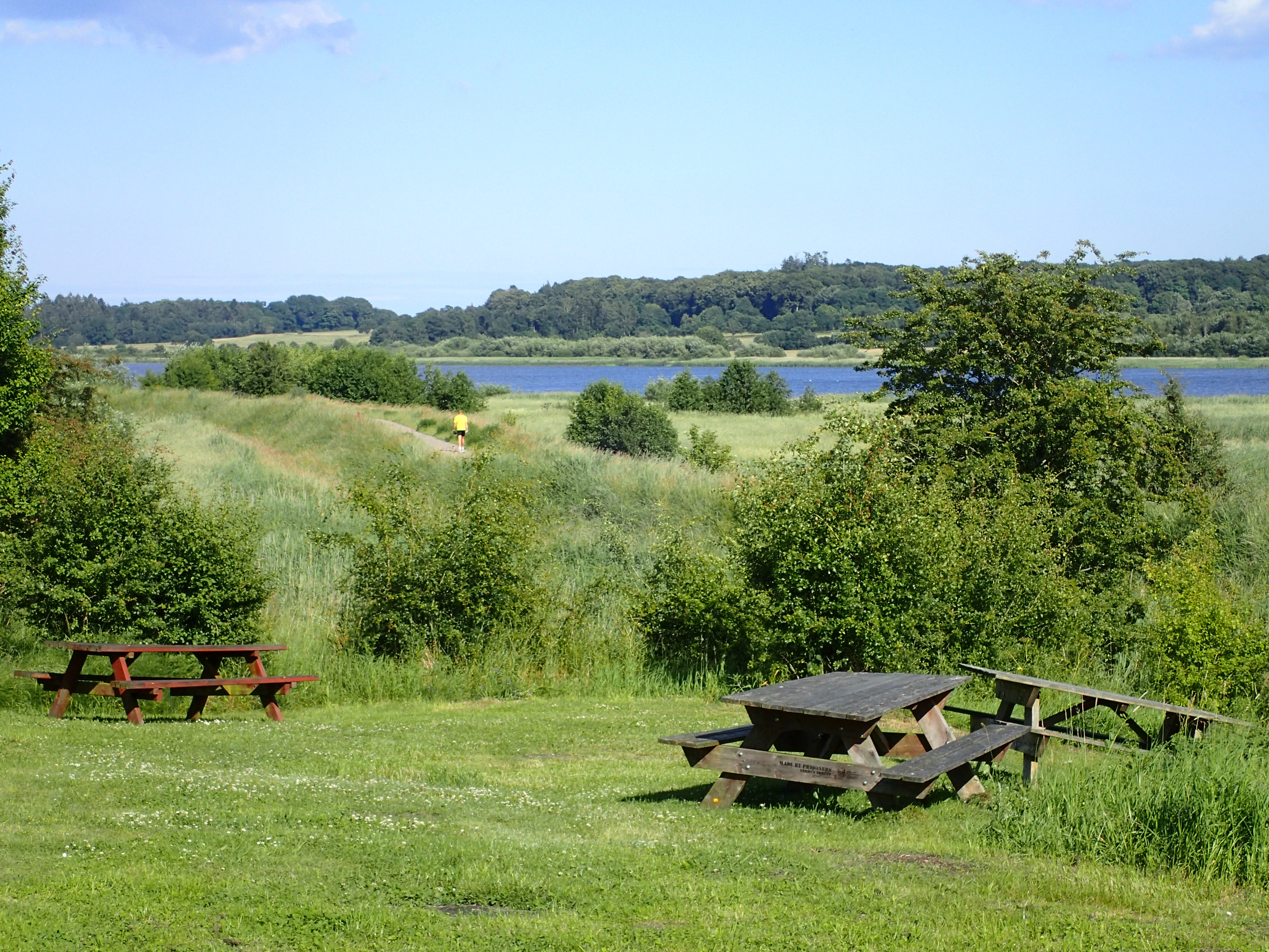
A restored wetland lake on the doorstep of Aarhus, drawing exceptional waterbird diversity to a young habitat. A practical demonstration of nutrient reduction, capturing agricultural nitrogen before it reaches Aarhus Bay. A Natura 2000 and EU Habitat Area within a historical tunnel valley that once held a 12-kilometer fjord. An accessible recreational site with an 8-kilometer nature trail and three birdwatching towers.
Best time to visit Årslev Engsø
The wetland's birdlife shifts with the seasons, and visits reward different spectacles depending on timing. Spring and early summer often bring breeding waterbirds, returning waders, and the gradual greening of meadows and reed edges. Late summer and autumn can produce concentrations of geese, ducks, and migrating waders on the open water and surrounding grasslands.
Winter brings broad expanses of open water and seasonally flooded meadows, when large numbers of waterfowl tend to gather, often accompanied by raptors drawn to the prey base. Because conditions can be cold and exposed, warm clothing, sturdy footwear, and waterproofs are practical choices in the colder months.