
Mori Atlas logo
Park guides

Focused resources for understanding alpine geography, landscape transitions, and planning.

Published Guide Collection for Arthur's Pass National Park in the Southern Alps

Access the complete series of published guides dedicated to Arthur's Pass National Park. These structured documents support geographic exploration by detailing mountain terrain, ecological transitions between eastern beech forests and western rainforests, and essential seasonal planning considerations.

Related tags

Southern AlpsMountain landscape Beech forestRainforestBird conservation

New Zealand's first South Island national park, protecting the dramatic Southern Alps

Arthur's Pass National Park

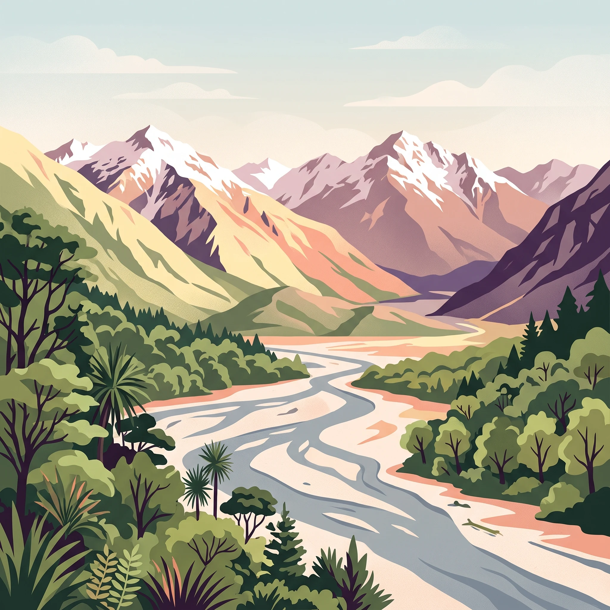
Arthur's Pass National Park stands as one of New Zealand's most significant protected areas, representing the gateway to the Southern Alps for visitors travelling between the East Coast and West Coast of the South Island. The park's establishment in 1929 followed growing public concern about the damage caused by tourists to the native flora, particularly the removal of rātā blooms and cutting of trees. Initially, underfunding meant national park status was largely nominal, and it took several years for proper protection of flora and fauna to be implemented. Today, the park is managed by the Department of Conservation, which maintains 31 mountain huts, tracks, and visitor facilities. The park's location bisected by State Highway 73 makes it highly accessible while also creating management challenges. Plans have been proposed to develop more visitor amenities, including high-end accommodation and improved all-weather facilities, though development decisions remain under consideration. The park has a reputation as one of New Zealand's more dangerous national parks due to its challenging terrain, rapidly changing weather conditions, and the difficulty of many tracks.

Location
New Zealand
Park type
National park
Established
1929
Area
1,184.7 km²
Highest point
2,400 m
Arthur's Pass National Park Protected Area
1 guide

Compare specialized planning themes and seasonal considerations for alpine terrain

Published Guides and Regional Resources for Arthur's Pass National Park

Published guides for Arthur's Pass National Park deliver focused insights into seasonal weather transitions, high-altitude trekking conditions, and visitor planning. Evaluating these specialized topics helps align specific questions with the most relevant alpine resource.
MoriAtlas Explorer

Continue Exploring Arthur's Pass National Park: Alpine Geography and Protected Landscape Details

Deepen your understanding of Arthur's Pass National Park's unique protected landscape and its significant regional geography. Continue exploring the mapped terrain, distinct ecological zones, and alpine features that define this key area within the Southern Alps. This park offers a focused lens for understanding New Zealand's protected natural areas and their geographic context through structured atlas exploration.