
Mapping the geographic diversity and marine environments across four distinct archipelagos.
Named Natural Features and Coastal Landscapes of Atlantic Islands of Galicia National Park
Explore the structured collection of natural features associated with Atlantic Islands of Galicia National Park, spanning from the granite headlands of Cíes to the bay laurel forests on Cortegada. This atlas provides a detailed look at the island chains, sheltered coves, and marine zones that define this significant Spanish protected area. Use these geographic resources to trace the terrain patterns, coastal landforms, and estuarine environments found within the Rías Baixas system.
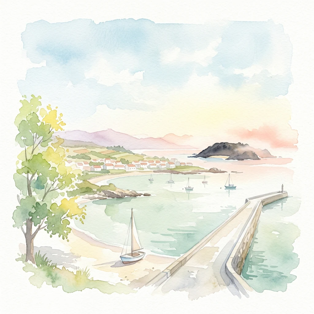
Geographic landmarks and island terrain across the Cíes, Ons, Sálvora, and Cortegada archipelagos.
Named Natural Features of Atlantic Islands of Galicia National Park
Coastal landforms and archipelago geography
Islands
Examine the individual islands that constitute the archipelagos of Atlantic Islands of Galicia National Park. This geographic overview highlights the spatial distribution and physical characteristics of these protected landforms across the Rías Baixas, supporting a clearer understanding of the park’s coastal landscape and marine boundaries.
Coastal geography and maritime landforms
Bays
Trace the coastal formations of Atlantic Islands of Galicia National Park through its bays. This record examines the spatial relationships between islands and adjacent bodies of water, providing a clear geographic overview of the protected archipelago and its complex, recessed Atlantic shoreline.
Sediment-based shore zone and coastal geography
Beaches
Investigate the beach landscape features of the Atlantic Islands of Galicia National Park. This resource details the physical shore zones formed by sediment accumulation across the park archipelagos, providing a geographic understanding of the Rías Baixas island terrain.
Continue Exploring the Atlantic Islands of Galicia National Park's Geography and Protected Landscapes
Delve deeper into the Atlantic Islands of Galicia National Park to understand its unique position within the Galician coastal geography. Through MoriAtlas, examine the mapped boundaries of its archipelagos, investigate the interplay of marine and terrestrial ecosystems, and appreciate the regional significance of this protected national park. Discover the intricate natural context of this vital Spanish protected area.