
Examine the sediment composition and geographic shoreline patterns across the park archipelagos.
Coastal Beach Shoreline Landscapes of the Atlantic Islands of Galicia National Park
The Atlantic Islands of Galicia National Park features varied shoreline zones where loose sediment accumulates along granite headlands. This collection catalogs beach formations distributed across the Cíes, Ons, Sálvora, and Cortegada archipelagos within the Rías Baixas system. Analyzing these shore zones provides context on how marine currents, wind, and sediment supply influence the coastal morphology of this unique Spanish marine protected area.
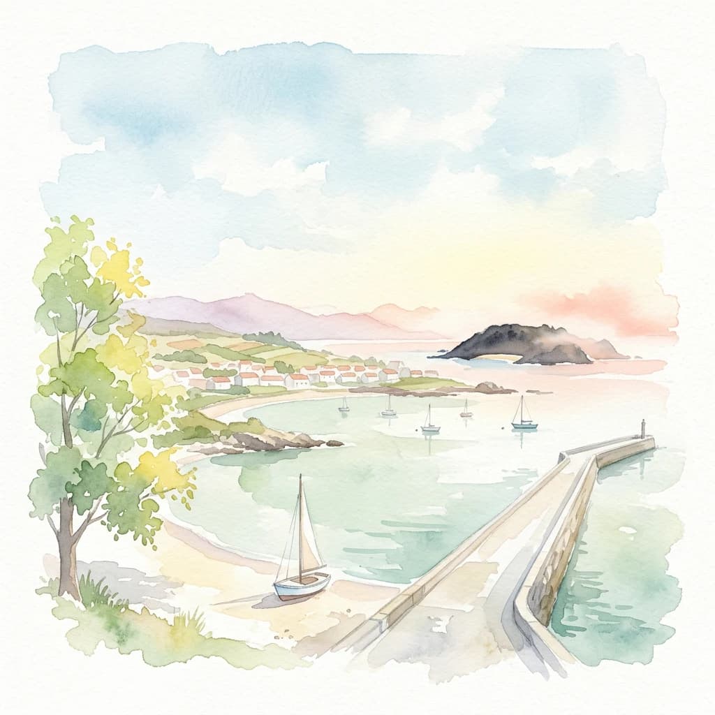
Sedimentary shoreline features and coastal coves across the park's four archipelagos
Explore Named Beach Features in Atlantic Islands of Galicia National Park
Map-based explorer records let researchers and visitors locate every major beach associated with Atlantic Islands of Galicia National Park, stretching across Cies, Ons, Salvora, and Cortegada. Examining the dynamic shore zones reveals how Atlantic winds and waves deposit loose sediments against the granite headlands of the Galician coast.
No natural features found
Map the regional protected areas, tracing diverse coastal and island conservation landscapes across northwestern Spain's Galicia.
Explore Related National Parks and Protected Areas Near Atlantic Islands of Galicia National Park
Southwest Alentejo and Vicentine Coast Natural Park
Beach Landforms and Coastal Sedimentary Zones in Pembrokeshire Coast National Park
Review the geomorphological profiles of beach features throughout Pembrokeshire Coast National Park. The collection emphasizes the relationship between loose sediment, tidal erosion, and the park's distinct limestone and cliff-flanked coastal environments.
Sintra-Cascais Natural Park
Iriomote-Ishigaki National Park
Beach Features of Booti Booti National Park, New South Wales Coastal Geography
The beach features within Booti Booti National Park demonstrate the ongoing interaction between oceanic currents and terrestrial sediment supply. This collection catalogs the varied shoreline segments formed along the ten kilometre coastal strip, providing geographic context for the landforms that link the park's three primary headlands and separate Wallis Lake from the Pacific Ocean.
Beach Formations and Coastal Geography of Fuji-Hakone-Izu National Park
This collection examines the varied beach environments found along the expansive coastlines of Fuji-Hakone-Izu National Park. Focus on the physical sediment and geological shoreline structures that define the transition between the park's volcanic interior and the Pacific Ocean across the Izu Peninsula and its islands.
Great Otway National Park
Tracing the varied maritime topography and ecological zones of the protected archipelago
Diverse Terrain Types Beyond Beaches in Atlantic Islands of Galicia National Park
Coastal landforms and archipelago geography
Islands
Examine the individual islands that constitute the archipelagos of Atlantic Islands of Galicia National Park. This geographic overview highlights the spatial distribution and physical characteristics of these protected landforms across the Rías Baixas, supporting a clearer understanding of the park’s coastal landscape and marine boundaries.
Bays
A bay is a body of water partly enclosed by a curved or recessed shoreline while remaining openly connected to a larger sea, ocean, or lake. Its form may reflect erosion, drowned valleys, glacial excavation, faulting, volcanic structure, sediment barriers, or other coastal processes. The category describes geographic enclosure and should not be treated as synonymous with a gulf, lagoon, harbor, or estuary when the source uses a more specific identity.
Discover the Natural Features Found in Atlantic Islands of Galicia National Park
Navigate the diverse terrain and mapped landmarks that define Atlantic Islands of Galicia National Park. MoriAtlas provides a structured view of these coastal formations, forest zones, and island environments to help you better understand the complex geography of this important Spanish protected area.