Mori Atlas logo
Park earthquake history

Review historical seismic event catalogues with associated magnitudes and epicenter distances for this Benin wetland region.

Recorded Earthquake History and Seismic Activity near Basse vallée de l'Ouémé, lagune de Porto-Novo, lac Nokoué

This collection provides a historical record of seismic events associated by proximity to the Basse vallée de l'Ouémé, lagune de Porto-Novo, lac Nokoué. Each entry captures event details including magnitude and depth, offering a data-focused perspective on seismic occurrences within this southern Benin landscape. These records assist in understanding the regional seismic context by mapping historical activity to this unique riverine and coastal environment.

Related tags

wetlandRamsar siteriver floodplaincoastal lagoonlake ecosystem

A vast coastal wetland system in southern Benin shaped by the Ouémé River and protected under the Ramsar Convention.

Lower Ouémé Valley, Porto-Novo Lagoon and Lake Nokoué

The Lower Ouémé Valley, Porto-Novo Lagoon and Lake Nokoué together form the largest wetland in Benin, a low-lying coastal system in the south of the country where the Ouémé River meets the Atlantic Ocean. Located in the Ouémé département, the site brings together the lower floodplain of the Ouémé River, the broad Lake Nokoué basin and the lagoon that connects it to the sea near Porto-Novo. The site is recognized internationally for its ecological importance and has been listed under the Ramsar Convention on Wetlands. In 2020, Benin submitted a nomination to inscribe the area on the UNESCO World Heritage List, framing it as a cultural landscape shaped by long-standing interactions between water, communities and biodiversity. Beyond its conservation value, the wetland is a defining feature of southern Benin's geography, supporting fisheries, traditional lake-side settlements such as Ganvié on Lake Nokoué, and dynamic floodplain ecosystems that depend on the seasonal pulse of the Ouémé River.

Location
Benin
Park type
Protected area
Area
916 km²
Basse vallée de l'Ouémé, lagune de Porto-Novo, lac Nokoué Park Atlas

Review Basse vallée de l'Ouémé, lagune de Porto-Novo, lac Nokoué event records

Earthquake records for Basse vallée de l'Ouémé, lagune de Porto-Novo, lac Nokoué

Recorded earthquakes are associated with the Lower Ouémé Valley, Porto-Novo Lagoon and Lake Nokoué through epicentre position and calculated wetland distance, not through hydrological cause. Dates, magnitudes, depths, localities, sources, and distance values support historical comparison without implying wetland effects, present danger, or prediction.

Sort by
Magnitude
Location

This page describes catalogued earthquakes associated with the park by epicentre location and distance. It does not establish causation, assess current danger, or predict future earthquakes.

No earthquake records match the current filters

Park atlas

Continue beyond Basse vallée de l'Ouémé, lagune de Porto-Novo, lac Nokoué

Other parks after Basse vallée de l'Ouémé, lagune de Porto-Novo, lac Nokoué

A separate park collection follows the earthquake catalogue for Basse vallée de l'Ouémé, lagune de Porto-Novo, lac Nokoué. Its destinations are not asserted to share wetland or lagoon settings, Beninese geography, protection status, earthquake records, geology, proximity, seismic relevance, or hazards.
Biosphere reserveBenin
Mapped location lies within the park boundary#1 closest

South

Réserve de biosphère de la Basse vallée de l’Ouémé: Geographic Overview and Protected Area Map

Coastal lagoon and river delta ecosystems in Benin

The Réserve de biosphère de la Basse vallée de l’Ouémé represents a significant protected landscape in southern Benin where riverine and marine influences converge. This biosphere reserve map highlights a dense network of mangroves, seasonally flooded grasslands, and freshwater lakes. Gain insights into the regional geography and hydrologic patterns of this important wetland complex.

Area
3,143.4 km²
Established
2020
Relief
Lowland
Climate
Tropical
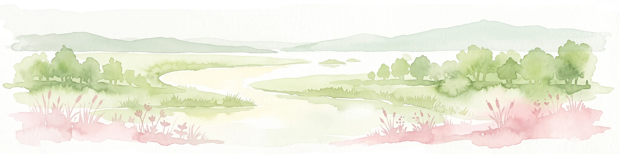
A watercolor painting showing a panoramic view of a river landscape with lush green trees, grasses, and soft pink foreground flowers against a light sky.
Nature reserveBenin
Mapped location lies within the park boundary#2 closest

Northwest

Forêt classée de la Lama: Nature Reserve Geography and Protected Area Landscape

A dense forest refuge located within the Dahomey Gap

The Forêt classée de la Lama is a significant nature reserve in Benin, characterized by its unique position in the Lama depression. This area preserves a crucial core of dense semi-deciduous forest surrounded by managed buffer zones. Examine the mapped terrain, hydrological features, and the distinct ecological role this reserve plays in West African forest conservation.

Area
162.5 km²
Established
1946
Relief
Lowland
Climate
Subtropical
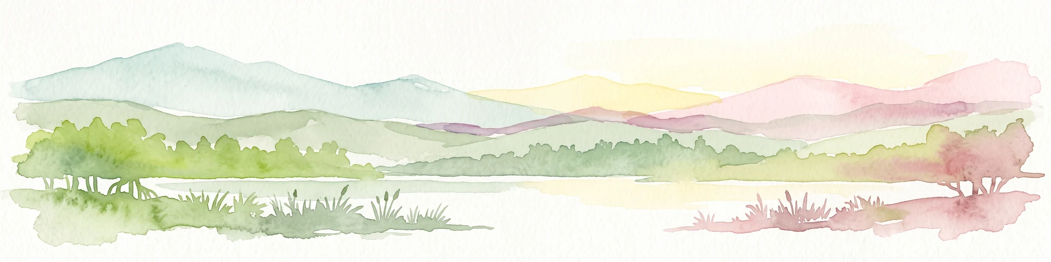
A soft watercolor painting of a wetland scene with green trees and reeds in the foreground and rolling hills in the background.
Protected areaZou Department
Mapped location lies within the park boundary#3 closest

Northwest

Forêt marécageuse de Lokoli: Protected Alluvial Forest and Wetland Geography in Zou Department

A rare flooded ecosystem in southern Benin

Spanning approximately 500 hectares, Forêt marécageuse de Lokoli serves as a crucial refuge for primate species and native swamp-forest vegetation. The area illustrates a distinct alluvial geography, characterized by seasonal flooding from the Hlan stream that transforms the forest floor into a mosaic of shallow pools and dense, stilt-rooted woodland environments.

Area
5 km²
Relief
Lowland
Water
Major water bodies
Nature reserveAtlantique
Mapped location lies within the park boundary#4 closest

West

Vallée du Sitatunga: Nature Reserve Geography and Wetland Protected Area Context

Community-managed marshland ecosystems in southern Benin

Vallée du Sitatunga encompasses over 67,000 hectares of diverse terrain in southern Benin, ranging from humid forest to expansive floodplains. As a community-led nature reserve, it preserves a vital network of waterways and swamp habitats that sustain rare species such as the sitatunga. This landscape focus offers clear insight into the protected basin geography of the Atlantique region.

Area
700 km²
Established
2009
IUCN
VI
Relief
Lowland
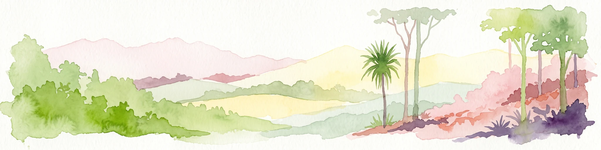
A horizontal watercolor painting showing a soft, stylized forest landscape with rolling hills, diverse trees, and vegetation in shades of green, yellow, and purple.
Nature reserveAtlantique
About 2.3 km away#5 closest

West

Forêt relique de Niaouli Nature Reserve: Geography and Protected Landscape Boundaries

A scientific forest refuge in the Atlantique region of southern Benin

The Forêt relique de Niaouli nature reserve covers 220 hectares of protected land, serving as a rare survivor of the semi-deciduous forest that once characterized this part of coastal Benin. This site provides researchers and geography enthusiasts with a deep look into riparian and plateau forest ecosystems. Its ongoing value stems from its long-term ecological data and unique position within the broader West African forest block.

Area
2.2 km²
Established
1997
Relief
Lowland
Climate
Tropical
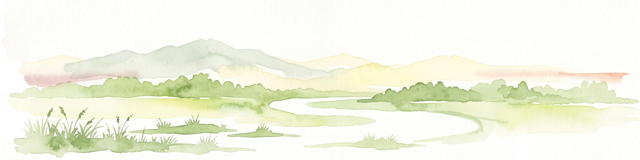
A horizontal watercolor painting depicting a winding river flowing through a lush green landscape with distant hills under a light sky.
Biosphere reserveBenin
About 49 km away#6 closest

West

Mono Transboundary Biosphere Reserve: Mapped Protected Landscapes and Regional Geography

Coastal river deltas, wetlands, and savanna transition zones

The Mono Transboundary Biosphere Reserve preserves a critical intersection of freshwater river systems and marine coastal environments. Stretching along the border of Benin and Togo, this protected area includes expansive mangroves, lagoons, and floodplains that transition into inland savanna. The geography of the reserve reflects a dynamic interface between land and water, encompassing a range of natural terrain that supports both ecological conservation and integrated regional land use.

Area
3,462.85 km²
Established
2017
Relief
Lowland
Climate
Tropical
A watercolor painting showing a soft, impressionistic landscape of Keta Lagoon, featuring patches of green vegetation, yellow grasses, and calm water against a light, airy background.
Protected areaVolta Region
About 140 km away#7 closest

Southwest

Keta Lagoon Protected Area: Coastal Wetland Geography and Regional Landscape Mapping

A vital ecological and cultural landscape in Ghana's Volta Region

Keta Lagoon represents a primary coastal wetland system in eastern Ghana. Spanning the coastline between sandy barriers and inland floodplains, this protected area features a unique mosaic of mangroves, tidal flats, and islands. Its role as a major waterbird habitat and the center of Anlo-Ewe cultural life makes it a significant site for understanding West African coastal geography and environmental conservation.

Area
1,200 km²
Established
1992
Relief
Lowland
Climate
Tropical
Wildlife reserveVolta Region
About 168 km away#8 closest

West

Kalakpa Game Production Reserve: Atlas Overview of Protected Terrain in Ghana

Ecological mosaic landscape in the Volta Region

Kalakpa Game Production Reserve represents a diverse protected area where Borassus and Combretum woodlands meet semi-deciduous gallery forests. Situated on the foothills of the Togo Mountains, this reserve provides essential habitat in the forest-savanna transition of southeastern Ghana, defined by its rugged rocky hills and seasonal valley streams.

Area
320 km²
Established
1975
IUCN
VI
Relief
Upland
MoriAtlas Explorer

Continue Exploring the Basse vallée de l'Ouémé, lagune de Porto-Novo, lac Nokoué Protected Area

Deepen your understanding of this expansive wetland landscape by tracing the hydrological features of the Ouémé River and Lake Nokoué. MoriAtlas provides detailed geographic context for the largest protected wetland in Benin, offering a clear perspective on the basin's boundaries and its role in regional ecology.