

Mori Atlas logo
Park guides

Focused insights for navigating mountain terrain and seasonal alpine landscape changes.

Comprehensive Guide Collection for Berchtesgaden National Park in Bavaria

Discover a structured selection of informational guides dedicated to Berchtesgaden National Park. These resources offer detailed context for planning visits across seasonal transitions, from high-altitude summer hiking in the Watzmann massif to winter explorations of the alpine geography.

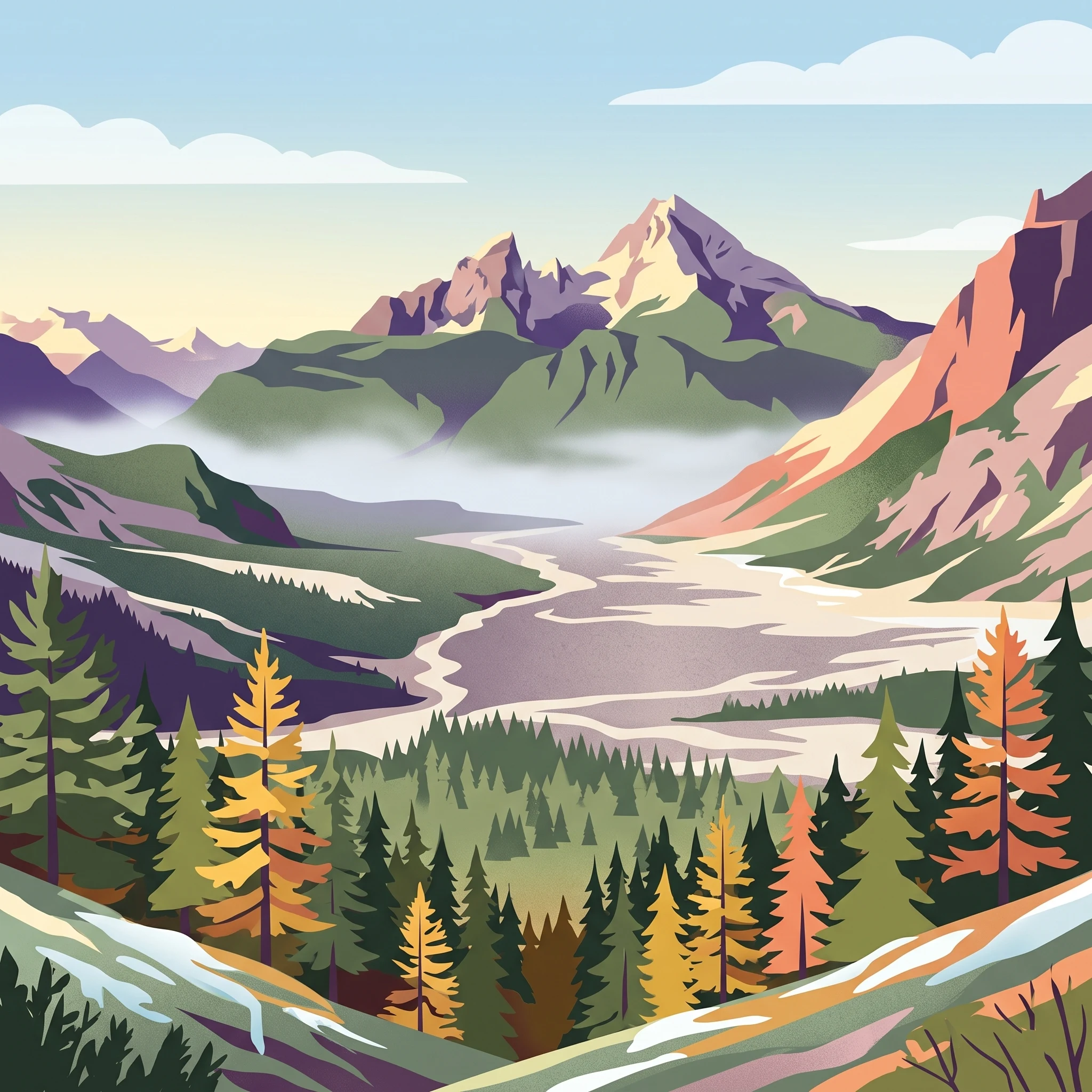
Stylized illustration of a mountainous landscape with green and autumn-colored trees, a winding path, and a lake surrounded by mountains

Germany's only Alpine national park protecting high peaks, glaciers, and karst landscapes

Berchtesgaden National Park

Berchtesgaden National Park occupies a striking position in the northern limestone Alps, where the mountains rise sharply from the Austrian border into a landscape of imposing peaks, deep cirques, and U-shaped glacial valleys. The park lies within the Berchtesgadener Land, a region that has long been recognized for its natural significance. Unlike Germany's other national parks, which are primarily forested lowland or mid-mountain reserves, Berchtesgaden represents the only true Alpine protected area in the German network, preserving ecosystems found nowhere else in the country. The park is administratively divided into a strictly protected core zone covering approximately 139 square kilometers and a care zone of about 69 square kilometers that accommodates limited traditional land uses. This zoning allows the protection of near-natural processes while preserving elements of the historic cultural landscape that cannot survive without active management. The park headquarters are located in the town of Berchtesgaden, and the protected area extends across the municipalities of Ramsau bei Berchtesgaden and Schönau am Königsee. Visitor infrastructure includes the Haus der Berge national park center, six information locations, and an extensive network of maintained hiking trails spanning approximately 260 kilometers.

Location
Germany
Park type
National park
Established
1978
Area
210 km²
Highest point
2,713 m
Berchtesgaden National Park Protected Area
1 guide

Compare focused seasonal themes to match your specific alpine inquiry.

Published Guides and Seasonal Planning Resources for Berchtesgaden National Park

Browse the complete collection of published guides dedicated to understanding the complex terrain of Berchtesgaden National Park. Evaluate seasonal timing options for high altitude hiking or winter landscapes before selecting your specific planning topic.
When to Visit Berchtesgaden National Park: Seasonal Timing and Weather Guide
Seasonal Planning Guide

When to Visit Berchtesgaden National Park: Seasonal Timing and Weather Guide

Discover the impact of Alpine weather, high-altitude trail conditions, and seasonal accessibility on your trip to Berchtesgaden National Park.

Planning a trip to Berchtesgaden National Park requires balancing dramatic, high-altitude alpine weather with the shifting accessibility of its iconic trails and glacial lakes. This guide interprets long-term climate normals and seasonal patterns to help you decide when to visit based on your own priorities, such as peak hiking availability, daylight for photography, or the tranquil experience of the park during off-peak months. By understanding the transition between the lush summer months and the harsh, snowy winters, you can better manage expectations for outdoor access, temperature fluctuations, and necessary safety precautions. Because this landscape is defined by its vertical relief and rare glacial remnants, visitors must recognize that climate averages at altitude differ significantly from valley levels. All planning must account for the reality that seasonal closures, permit requirements for specific mountaineering routes, and current weather alerts can change from year to year. This guide emphasizes the importance of verifying real-time conditions with park authorities before your departure, as historical trends serve as a foundation for your itinerary rather than a guarantee of specific daily weather or route status.

Best Time to Visit
MoriAtlas Explorer

Continue Exploring Berchtesgaden National Park's Geography and Landscape

Deepen your understanding of Berchtesgaden National Park by exploring its specific geographic features and protected landscape context. This MoriAtlas entry provides the structured data to trace its mapped boundaries and understand its regional position within Bavaria. Engage further with the atlas of protected areas to connect this park to its surrounding natural terrain and broader conservation geography.