Mori Atlas logo
National parkBerchtesgaden National Park

Discover the mapped boundaries and natural terrain of this key German national park.

Berchtesgaden National Park: Protected Landscape and Regional Geography in Bavaria

Berchtesgaden National Park stands as a significant protected landscape within the Free State of Bavaria, Germany. This page offers an atlas-style exploration of its distinct geographic identity, mapped boundaries, and the natural terrain that defines this protected area. Understand its place within the broader regional geography of southeastern Germany and discover its role as a curated natural entity within the MoriAtlas discovery platform.

Alpine national parkGlacial landscapeMountain conservationLakes and reservoirsKarst geologyBiosphere Reserve
Stylized illustration of a mountainous landscape with green and autumn-colored trees, a winding path, and a lake surrounded by mountains

Berchtesgaden National Park

National park

Park overview

Structured park overview, official facts, and landscape profile for Berchtesgaden National Park

Berchtesgaden National Park park facts, protected area profile, and essential visitor context
Review the core facts for Berchtesgaden National Park, including designation, size, terrain, visitor scale, habitats, and operating context in one park-focused overview.

About Berchtesgaden National Park

Berchtesgaden National Park occupies a striking position in the northern limestone Alps, where the mountains rise sharply from the Austrian border into a landscape of imposing peaks, deep cirques, and U-shaped glacial valleys. The park lies within the Berchtesgadener Land, a region that has long been recognized for its natural significance. Unlike Germany's other national parks, which are primarily forested lowland or mid-mountain reserves, Berchtesgaden represents the only true Alpine protected area in the German network, preserving ecosystems found nowhere else in the country. The park is administratively divided into a strictly protected core zone covering approximately 139 square kilometers and a care zone of about 69 square kilometers that accommodates limited traditional land uses. This zoning allows the protection of near-natural processes while preserving elements of the historic cultural landscape that cannot survive without active management. The park headquarters are located in the town of Berchtesgaden, and the protected area extends across the municipalities of Ramsau bei Berchtesgaden and Schönau am Königsee. Visitor infrastructure includes the Haus der Berge national park center, six information locations, and an extensive network of maintained hiking trails spanning approximately 260 kilometers.

Quick facts and research context for Berchtesgaden National Park

Berchtesgaden National Park covers roughly 210 square kilometers in the Berchtesgadener Alps of Bavaria, Germany. The park was established in 1978 and designated as a UNESCO Biosphere Reserve in 1990. It is the only German national park within the Alpine mountain range. The Watzmann, at 2,713 meters, is the park's highest peak and the third-highest mountain in Germany. The park contains two of Germany's five remaining glaciers and protects the drainage basin of the Salzach River.

Park context

Deeper park guide and search-rich context for Berchtesgaden National Park

Berchtesgaden National Park history, landscape, wildlife, and travel context
Explore Berchtesgaden National Park through its history, landscape character, ecosystems, wildlife, conservation priorities, cultural context, and seasonal travel timing in a structured park guide built for atlas discovery and search intent.

Why Berchtesgaden National Park stands out

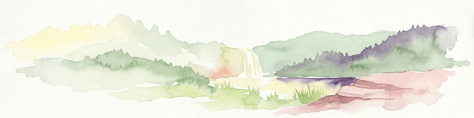
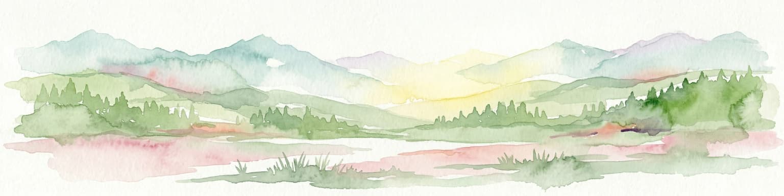
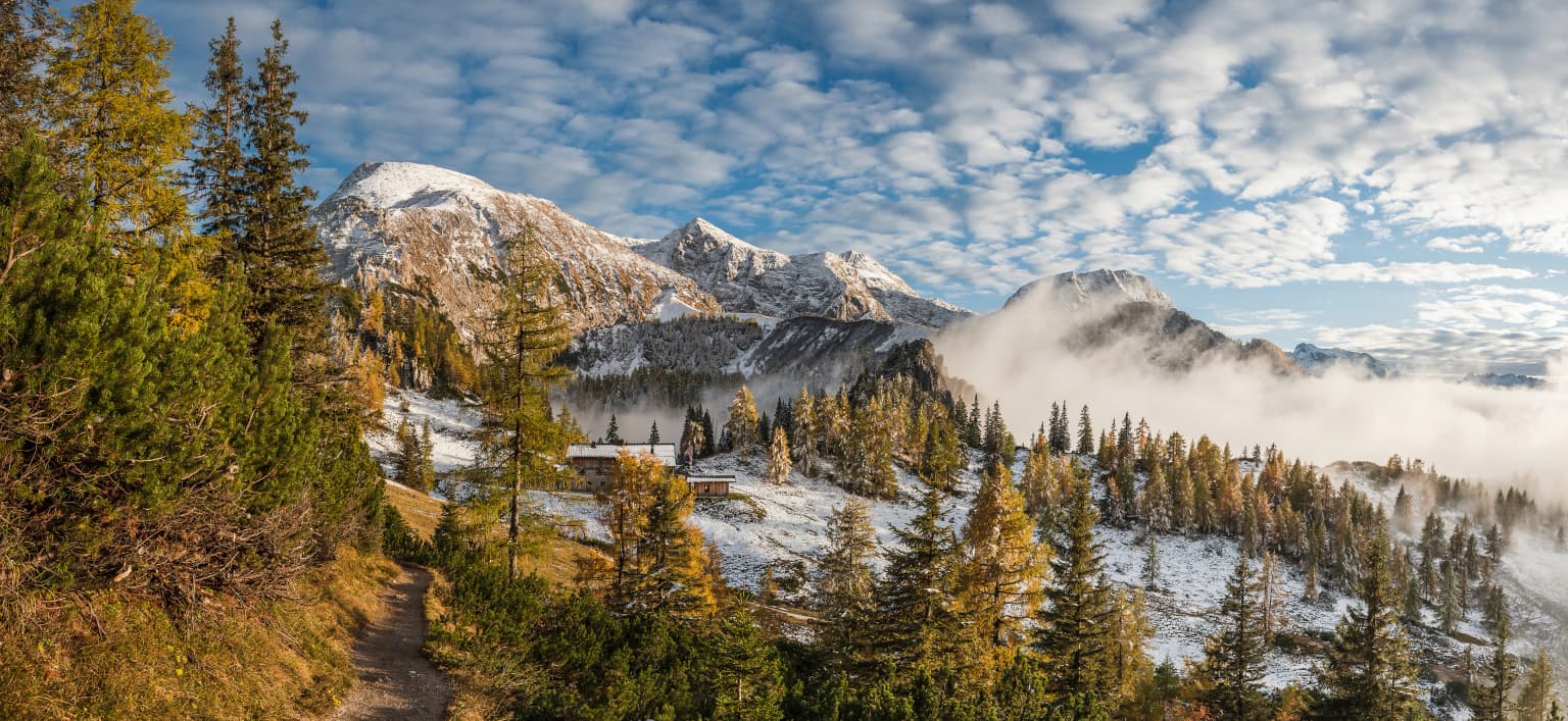
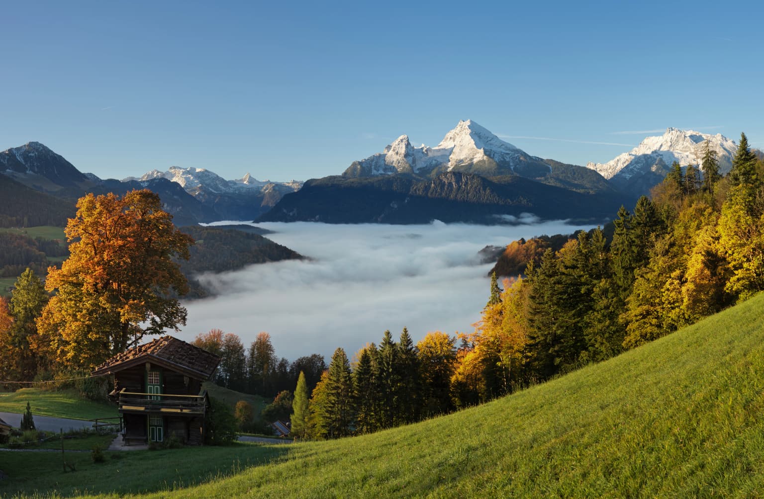
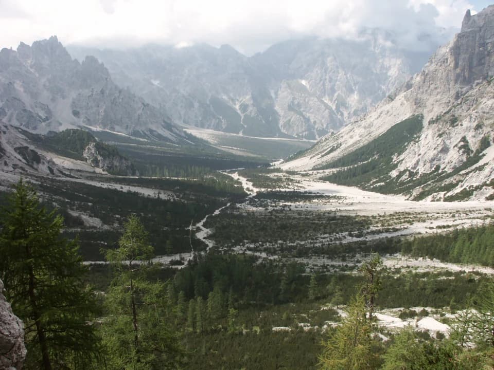
Berchtesgaden National Park is renowned for its dramatic Alpine scenery, with towering limestone peaks and dramatic cliff faces. The park protects Germany's only glaciers in the Alps, specifically the Watzmann Glacier and Blaueis. The Königssee, a deep glacial lake surrounded by steep walls, is a defining feature accessible by electric boat. The Watzmann massif presents one of the most recognizable silhouettes in the Eastern Alps. The park also preserves rare karst landscape features, including the Wimbachgries, a vast debris field between the Watzmann and Hochkalter massifs.

Wide landscape view of Berchtesgaden National Park with snow-covered mountain peaks, mixed forest slopes, valley mist, and clear blue sky with scattered clouds
Panoramic view of Berchtesgaden National Park showing snow-capped mountain peaks, forested slopes, and valley mist under a clear sky

Berchtesgaden National Park history and protected-area timeline

The protection of the Berchtesgaden Alps began in 1910 when an 8,600-hectare nature conservation area was established in what is now the southeastern part of the park. Modeled on American national parks, this represented an early effort to preserve Alpine landscapes. The area expanded to 20,400 hectares in 1921, encompassing the Watzmann and Hochkalter massifs. During World War II, Hermann Göring, then State Minister of Forestry and Hunting, declared the Obersee area a particularly protected natural conservation area, and six additional faunal protection zones were designated, though these were largely used for hunting in practice. The formal initiative to create a national park emerged in the 1950s. In the 1960s, a competing proposal to construct an aerial lift to the Watzmann summit directly conflicted with national park plans. The cable car project was ultimately abandoned in 1972 by the Free State of Bavaria, which simultaneously decided to establish the national park. The park officially opened on 1 August 1978 with an area of 208.08 square kilometers. UNESCO recognized the area as a Biosphere Reserve in 1990, and the park was expanded in 2010 to its current extent of approximately 210 square kilometers. The park's establishment faced significant local opposition, particularly from surrounding municipalities, though acceptance has grown over time.

Berchtesgaden National Park landscape and geographic character

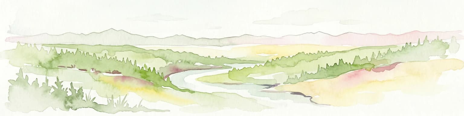
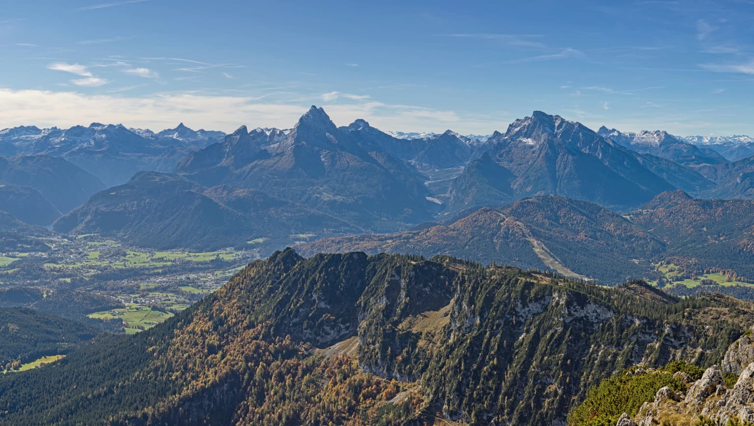
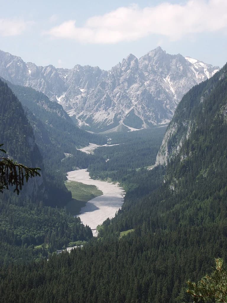
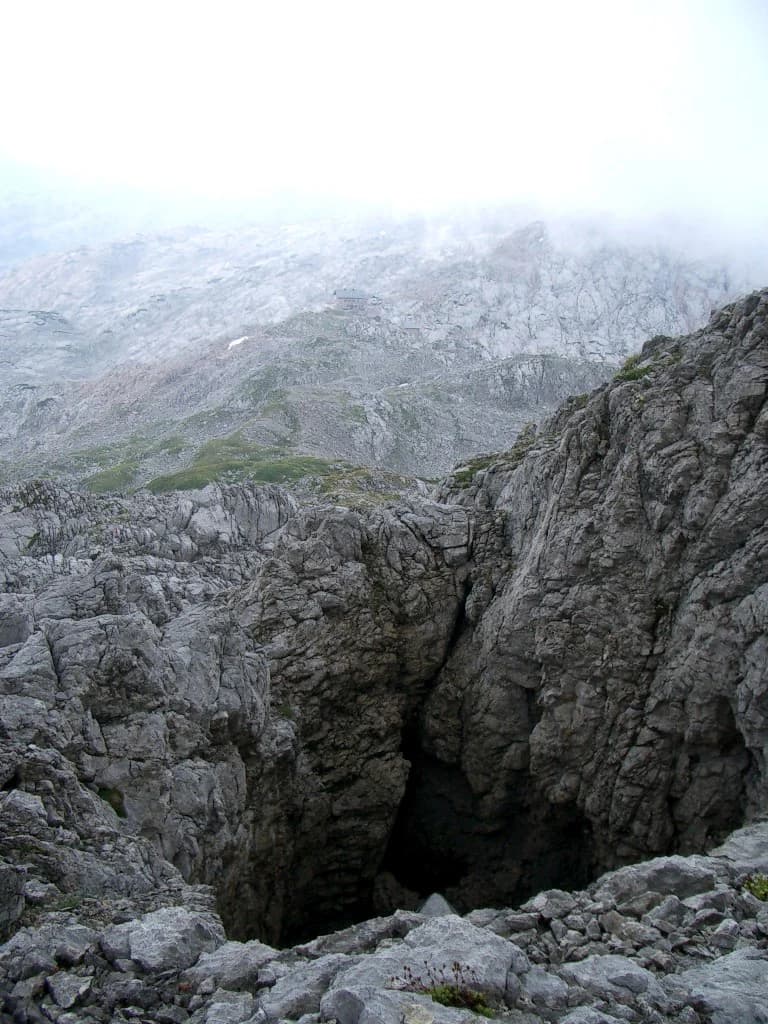
The physical landscape of Berchtesgaden National Park exemplifies classic Alpine geology and topography shaped by glacial processes. The park is carved from the Berchtesgaden Alps, a subset of the Northern Limestone Alps, where massive limestone and dolomite formations have been sculpted by ice age glaciers into dramatic ridges, cirques, and peaks. The Watzmann massif dominates the western portion of the park, rising to 2,713 meters and forming one of the most imposing mountain groups in Germany. East of the Watzmann, separated by the Wimbachtal valley, the Hochkalter reaches 2,607 meters and supports the Blaueis Glacier, one of the few remaining glaciers in Germany. The central feature of the park is the Königssee, a elongated glacial lake extending from south to west, with the smaller Obersee situated above it in a hanging valley position. The Wimbachgries, a remarkable feature between the Watzmann and Hochkalter, is a vast debris field filled with material up to 300 meters thick extending over ten kilometers, believed to have formed from the collapse of a massive rock vault. The Funtensee, a mountain lake in the park, is notable for regularly recording Germany's lowest winter temperatures. Elevations within the park range from approximately 603 meters at the Königssee to 2,713 meters at the Watzmann summit.

Panoramic mountain landscape with multiple peaks, valleys, and forested hills under a clear blue sky
Panoramic view from Berchtesgadener Hochthron towards Watzmann and Hochkalter mountains

Berchtesgaden National Park ecosystems, habitats, and plant life

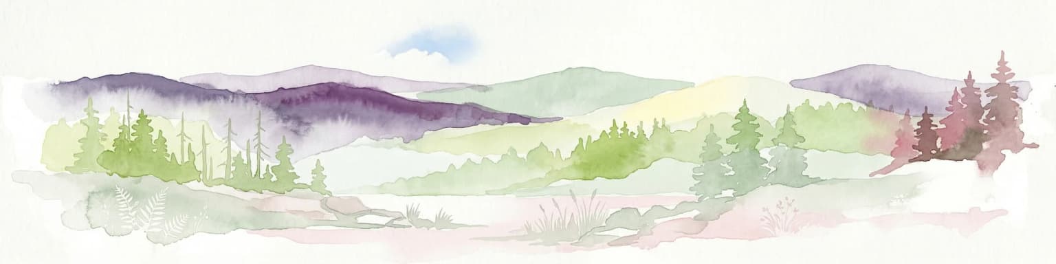
The ecological character of Berchtesgaden National Park reflects its position in the transitional zone between the Northern Alps and the central Alpine regions, supporting a diversity of habitats from lake and riparian zones through forest stages to Alpine meadows and summit scree fields. The park's elevation range creates distinct vegetation zones, with mixed forests in the lower valleys giving way to coniferous forests, then krummholz scrub, Alpine meadows, and finally bare rock and permanent snow. The karst geology influences soil development and water movement, creating specialized habitats. The lake systems, particularly the Königssee and Obersee, support distinct aquatic communities. The park's protected status allows natural processes to proceed largely without intervention, with erosion, vegetation succession, and predator-prey dynamics permitted to unfold naturally in the core zone. This approach distinguishes Berchtesgaden from more heavily managed German protected areas and provides valuable opportunities for ecological research in a near-pristine Alpine setting.

Mountain valley landscape with river winding through dense forested slopes and rocky peaks under partly cloudy sky
Wimbachgries valley in Berchtesgaden National Park with mountain ridges and forested river valley

Berchtesgaden National Park wildlife and species highlights

Berchtesgaden National Park supports a diverse vertebrate fauna typical of the Northern Alps. The larger mammals include roe deer, red deer, chamois, and Alpine ibex, the latter reintroduced in the 1930s after earlier extinction. Smaller mammals include Alpine marmot, snow hare, and snow vole. The park hosts approximately 100 breeding bird species, with characteristic species including golden eagle, Tengmalm's owl, pygmy owl, hazel grouse, black grouse, capercaillie, Alpine ptarmigan, raven, Alpine chough, nutcracker, and wallcreeper. Griffon vultures and bearded vultures are occasionally observed. The park contains sixteen amphibian and reptile species, including endangered species such as the common adder, smooth snake, grass snake, Alpine salamander, fire salamander, Alpine newt, yellow-bellied toad, lake char, and brown trout. Notable insects include the longhorn beetle and Apollo butterfly. Historically, the region supported European bison, lynx, brown bear, wolf, and European otter, and some of these species may naturally recolonize from neighboring Austrian populations in the future, though reintroduction is not planned.

Chalet on grassy hillside with autumn trees, misty valley, and mountain peaks
Autumn landscape with chalet, forested hills, and snow-capped mountains in Berchtesgaden National Park

Berchtesgaden National Park conservation status and protection priorities

Berchtesgaden National Park serves as the core conservation area for the Berchtesgadener Land Biosphere Reserve, a 467-square-kilometer region recognized by UNESCO in 1990. The park's conservation objectives follow IUCN guidelines and German federal nature protection law, emphasizing the protection of natural processes and biodiversity rather than individual species or landmarks. A key management principle is allowing natural dynamics, including erosion and succession, to proceed without interference in the core zone. The park is divided into a strictly protected core zone and a care zone that accommodates traditional land uses such as Alpine farming. The designation as a Special Area of Conservation under the EU Birds Directive provides additional regulatory protection. Research priorities include ecosystem analysis, long-term environmental monitoring, and understanding environmental change in Central European mountain landscapes. The park maintains a partnership with Yosemite National Park in California for staff and research exchange, and collaborates with the Technical University of Munich on ecosystem dynamics research.

Berchtesgaden National Park cultural meaning and human context

The Berchtesgaden region has a long human history intertwined with its mountain landscape. The establishment of the national park required balancing conservation objectives with traditional land uses including Alpine pastoralism and local community interests. The park contains cultural features such as the Church of Saint Bartholomew on the Königssee, a pilgrimage site with origins dating to the mountain hotel built in 1919. The Wimbachschloss in the Wimbachtal serves as a traditional mountain inn. The transition to national park status was initially controversial among local communities, and ongoing debates concern the balance between protection and traditional agricultural uses, including a recent controversy over infrastructure development. The park administration emphasizes environmental education and building acceptance among local residents. The surrounding Nationalparkvorfeld area extends the protected landscape concept beyond the strict national park boundaries.

Wide landscape view of a mountain valley with a winding river, rocky mountains in the background, and dense forests in the foreground
View of Wimbachgries valley with Watzmann mountain in the background, Berchtesgaden National Park

Top sights and standout views in Berchtesgaden National Park

The defining features of Berchtesgaden National Park include its status as Germany's sole Alpine national park, protecting a landscape of dramatic peaks, glaciers, and glacial lakes. The Watzmann massif presents the park's most spectacular vertical relief, while the Königssee offers a unique lake experience accessible by silent electric boats. The remaining glaciers, the Watzmann Glacier and Blaueis, represent vanishing remnants of Alpine glaciation and attract scientific interest. The extensive trail network allows access to both accessible valley routes and challenging high-Alpine terrain. The Haus der Berge visitor center provides comprehensive introduction to the park's natural and cultural significance.

Rocky cave entrance in mountainous terrain with misty background and rocky cliffs
Karst cave entrance in the Steinernes Meer area of Berchtesgaden National Park

Best time to visit Berchtesgaden National Park

The summer months from June through September offer the most reliable access to the park's trail network, with warm temperatures in the valleys and the full range of Alpine flora in bloom. Autumn brings crisp air and often stable weather, with the changing foliage creating dramatic color in the forests. Winter transforms the landscape into a snow-covered wilderness, though trail access becomes limited and requires mountaineering experience and appropriate equipment for the high terrain. The shoulder seasons of late spring and early autumn typically provide fewer visitors while maintaining good access to lower-elevation trails. The park can be visited year-round, but the high-Alpine environment demands appropriate preparation regardless of season.

Park location guide

Geography guide, regional context, and park location map for Berchtesgaden National Park

Berchtesgaden National Park park geography, regions, and map view in Germany
Understand where Berchtesgaden National Park sits in Germany through a broader geographic reading of the surrounding landscape, nearby location context, and its mapped position within the national park landscape.

How Berchtesgaden National Park fits into Germany

Germany is a federal republic in Western and Central Europe with a population of over 83 million across sixteen constituent states. It is Europe's largest economy by nominal GDP and a major global exporter and importer. The capital is Berlin, and the country borders Denmark, Poland, Czech Republic, Austria, Switzerland, France, Luxembourg, Belgium, and the Netherlands.

Wider geography shaping Berchtesgaden National Park in Germany

Germany is located in Western and Central Europe, spanning 357,022 km². It borders Denmark to the north, Poland and the Czech Republic to the east, Austria and Switzerland to the south, and France, Luxembourg, Belgium, and the Netherlands to the west. The country has coastlines on the Baltic Sea and North Sea to the north, with the Alps located in the southern region.

Map view of Berchtesgaden National Park

Use this park location map to pinpoint Berchtesgaden National Park in Germany, understand its exact geographic position, and read its mapped placement within the surrounding landscape more clearly.

Pigeon | © OpenStreetMap contributors

Location context for Berchtesgaden National Park

Bavaria

Browse dramatic mountain ranges, deep glacial lakes, and unique karst formations through park imagery to understand its protected Alpine environment.

Explore Berchtesgaden National Park Photos: Visualizing Alpine Landscapes, Glaciers, and Königssee Scenery
View striking imagery of Berchtesgaden National Park to understand its iconic Alpine terrain, majestic limestone peaks, and pristine glacial lakes like Königssee. These photographs provide essential visual context for mapping diverse ecosystems, showcasing the park's unique protected conservation landscape within the Bavarian Alps.

Wide landscape view of Berchtesgaden National Park with snow-covered mountain peaks, mixed forest slopes, valley mist, and clear blue sky with scattered clouds

Large rocky mountain peak with steep slopes and forested hills under a clear blue sky

Panoramic mountain landscape with multiple peaks, valleys, and forested hills under a clear blue sky

Mountain valley landscape with river winding through dense forested slopes and rocky peaks under partly cloudy sky

Chalet on grassy hillside with autumn trees, misty valley, and mountain peaks

Calm turquoise lake surrounded by steep rocky cliffs and lush green mountains under clear blue sky

Wide landscape view of a mountain valley with a winding river, rocky mountains in the background, and dense forests in the foreground

Rocky cave entrance in mountainous terrain with misty background and rocky cliffs

Park atlas

Compare the mapped geography of nearby mountain conservation landscapes and other significant Alpine protected regions across Bavaria and beyond.

Explore More Alpine National Parks and Protected Areas Near Berchtesgaden National Park
Explore national parks and key protected areas geographically near Berchtesgaden National Park, mapping similar Alpine terrain, glacial features, and karst geology within the broader Bavarian Alps. This regional overview provides essential context for comparing diverse mountain conservation landscapes, aiding in structured discovery across Central European protected areas.
National park

Hohe Tauern National Park: Map of Austria's Largest Alpine Protected Landscape

Discover glacial terrain and mountain park geography in the Austrian Alps.

Hohe Tauern National Park, Austria's largest protected area, offers a profound exploration of high alpine landscapes. This national park is defined by its towering peaks, expansive glacier systems, and deeply carved glacial valleys. Examining its mapped boundaries reveals the sheer scale of this protected alpine terrain, providing crucial context for understanding regional geography and the unique natural systems it preserves across the Central Eastern Alps.

Area
1,806 km²
Established
1981
IUCN
II
Relief
Mountain
National parkUpper Austria

Kalkalpen National Park: Ancient Beech Forests and Karst Protected Landscape

Explore mapped boundaries and unique alpine terrain.

Kalkalpen National Park is a premier protected area in Upper Austria, celebrated for harboring Central Europe's largest remaining ancient beech forests and an extensive karst landscape. This designation underscores its critical role in preserving old-growth forest ecosystems and unique geological formations within the Northern Limestone Alps. Discover the mapped terrain and regional geography that define this significant natural reserve, offering a profound look into the continent's ecological history and protected natural heritage.

Area
208.25 km²
Established
1997
IUCN
II
Relief
Mountain
National parkStyria

Gesäuse National Park: Detailed Protected Landscape and Alpine Geography in Styria

Explore Austria's dramatic river gorge and rugged peaks.

Gesäuse National Park in Styria represents a significant alpine protected area, characterized by the striking Enns river gorge cutting through the Gesäuseberge. This national park offers a unique geographic context, showcasing steep limestone peaks, dramatic rock faces, and a rich hydrological network. Discover the mapped boundaries and protected landscape of one of Austria's most visually striking natural passages, ideal for detailed atlas exploration and understanding alpine conservation.

Area
110 km²
Established
2002
IUCN
II
Relief
Mountain
Watercolor illustration of a river flowing through a forested valley with mountains in the background
National park

Triglav National Park: A Mapped Alpine Protected Landscape in Slovenia

Julian Alps geography, glacial lakes, and karst terrain.

Triglav National Park is Slovenia's premier protected area, covering 880 square kilometers of the Julian Alps. This page details its dramatic alpine geography, including Mount Triglav, glacial valleys, and significant karst features. Understand the mapped boundaries and landscape context of this national park, a key entry in the MoriAtlas geographic discovery resource for understanding protected lands.

Area
880 km²
Established
1981
IUCN
II
Visitors
1.6M annual
National parkProvince of Belluno

Dolomiti Bellunesi National Park: National Park, Province of Belluno Protected Landscape

Explore mapped boundaries and regional geography

This entry details Dolomiti Bellunesi National Park, a distinct national park situated within the Province of Belluno. It provides essential geographic context and protected landscape information, enabling users to understand the park's boundaries and its role within the regional terrain. Dive into the mapped features and discover the atlas-driven details of this significant Italian protected area.

Area
32 km²
Established
1988
IUCN
II
Relief
Mountain
Watercolor painting showing mountains, forests, and valleys in a landscape.
National park

Bavarian Forest National Park: Protected Landscape and Regional Geography Atlas

Explore mapped terrain and protected park boundaries in Germany.

Dive into the specifics of Bavarian Forest National Park, a key protected area noted for its distinct landscape and geographic importance. This MoriAtlas entry details the park's mapped boundaries and its setting within the surrounding regional geography, offering a clear atlas-style view of its natural terrain. Understand its identity as a national park and discover its place in Germany's protected lands.

Area
242.45 km²
Established
1970
IUCN
II
Visitors
1.3M annual
National parkTrentino-Alto Adige/Südtirol

Stelvio National Park National Park: Protected Landscape and Regional Geographic Context

Explore its mapped boundaries and natural terrain.

Navigate Stelvio National Park, a designated national park in Italy's Trentino-Alto Adige/Südtirol region, through a map-centric lens. This page provides critical context for understanding the park's protected landscape, its geographic position within the Alps, and its mapped terrain. Utilize MoriAtlas to grasp the park's boundaries and its place in regional geography for structured natural landscape discovery.

Established
1935
IUCN
II
Relief
Mountain
Scope
Terrestrial
National parkSouth Moravian Region

Podyjí National Park: Explore Czech Republic's Intact River Canyon Ecosystem

Mapped Boundaries and Protected Landscape of South Moravia

Podyjí National Park, situated in the South Moravian Region, offers a profound look into one of Central Europe's most ecologically preserved river valleys. This national park is defined by its dramatic 220-meter deep Dyje River canyon, featuring rocky cliffs, stone seas, and a rich mosaic of forest and steppe habitats. MoriAtlas provides structured geographic information to analyze its unique landscape context, biodiversity, and role as a protected natural area within the Czech atlas.

Area
63 km²
Established
1991

Common questions about visiting, size, designation, and location context for Berchtesgaden National Park

Berchtesgaden National Park FAQs for park facts, access, geography, and protected area context
Find quick answers about Berchtesgaden National Park, including protected-area facts, park geography, trail and visitor context, and how the park fits into its surrounding country and regional landscape.
MoriAtlas Explorer

Continue Your Protected Areas Search Across the Global Atlas

Deepen your exploration by continuing the structured search for national parks and protected areas worldwide. Utilize the comprehensive filtering capabilities to compare different conservation landscapes and refine your understanding of global park geography. Discover more about the distribution and characteristics of protected natural areas.

Global natural geography