
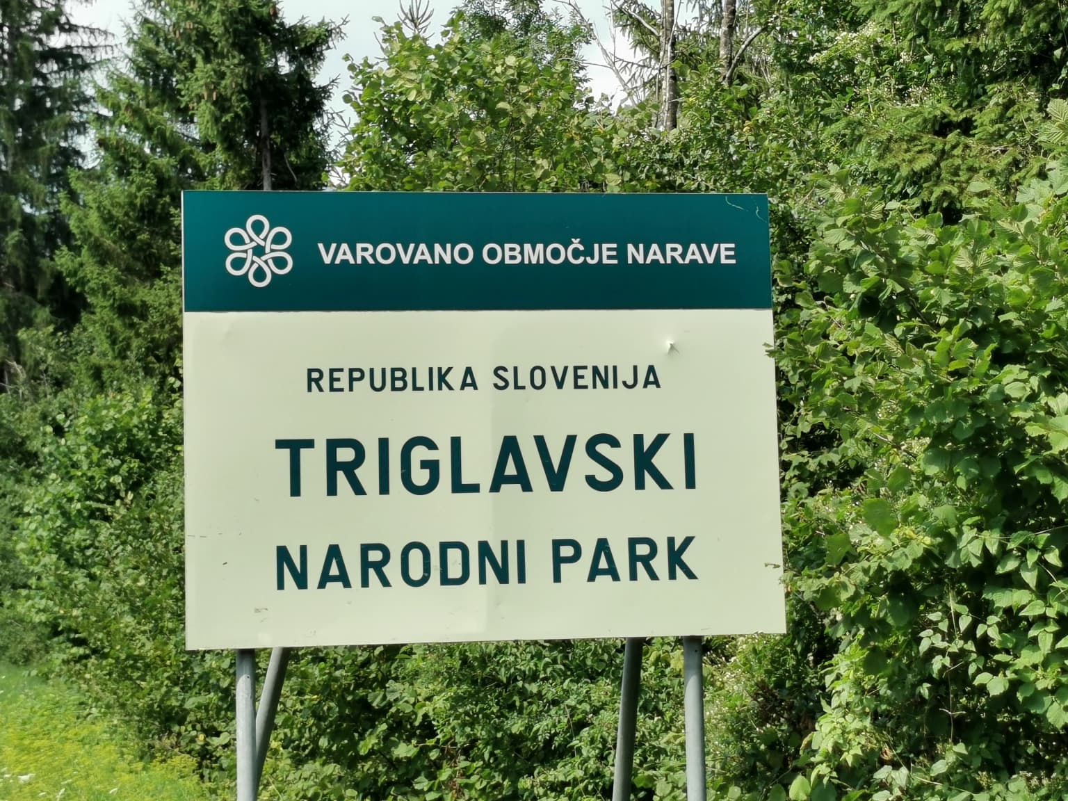
Why Triglav National Park stands out
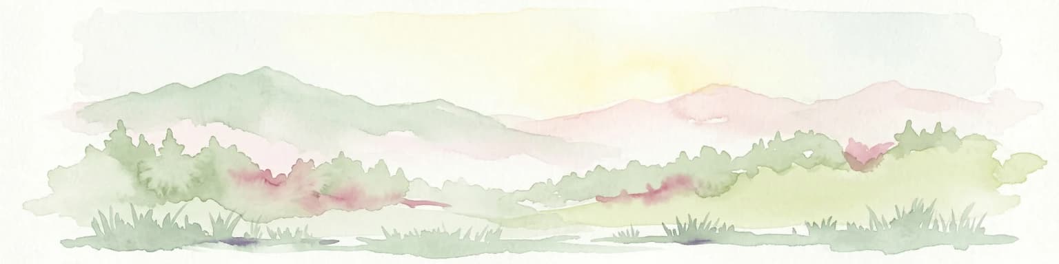
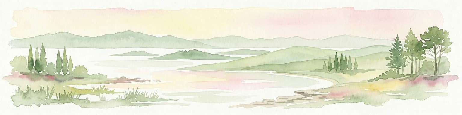
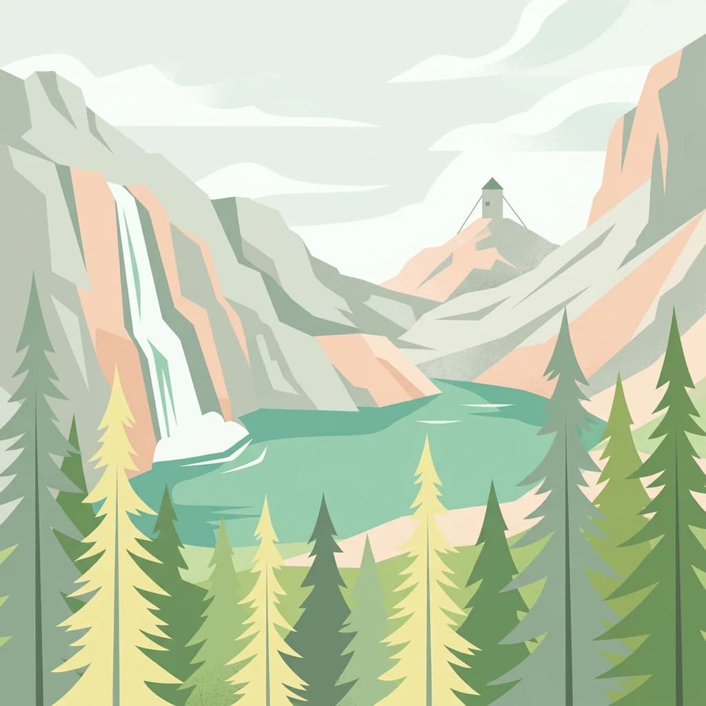
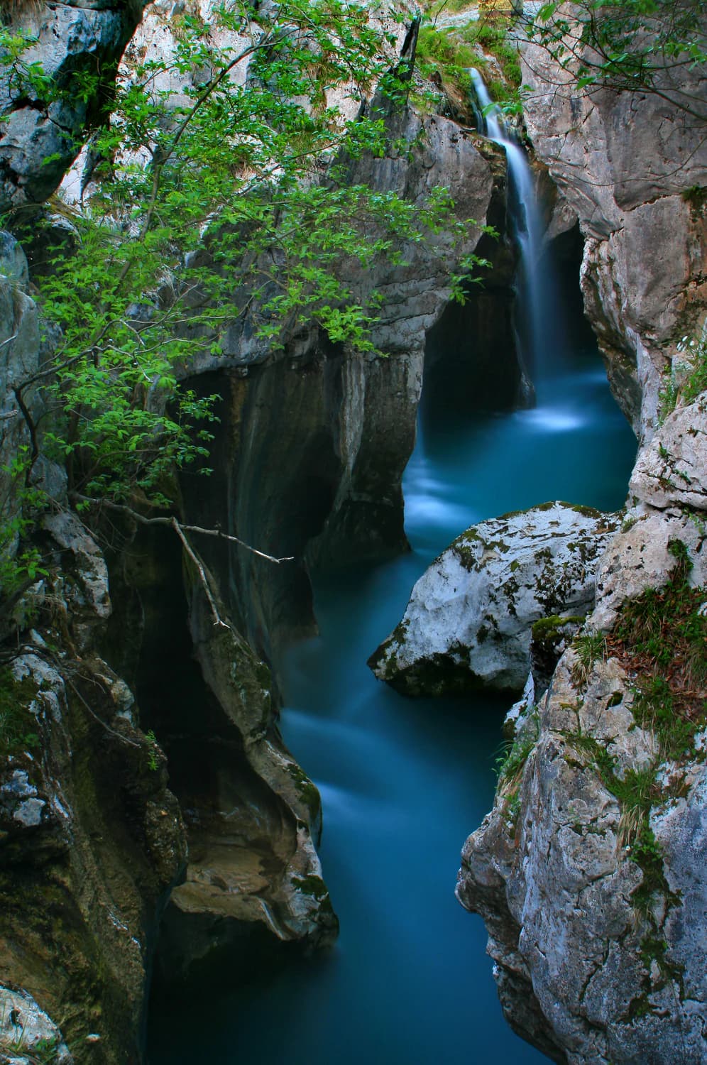
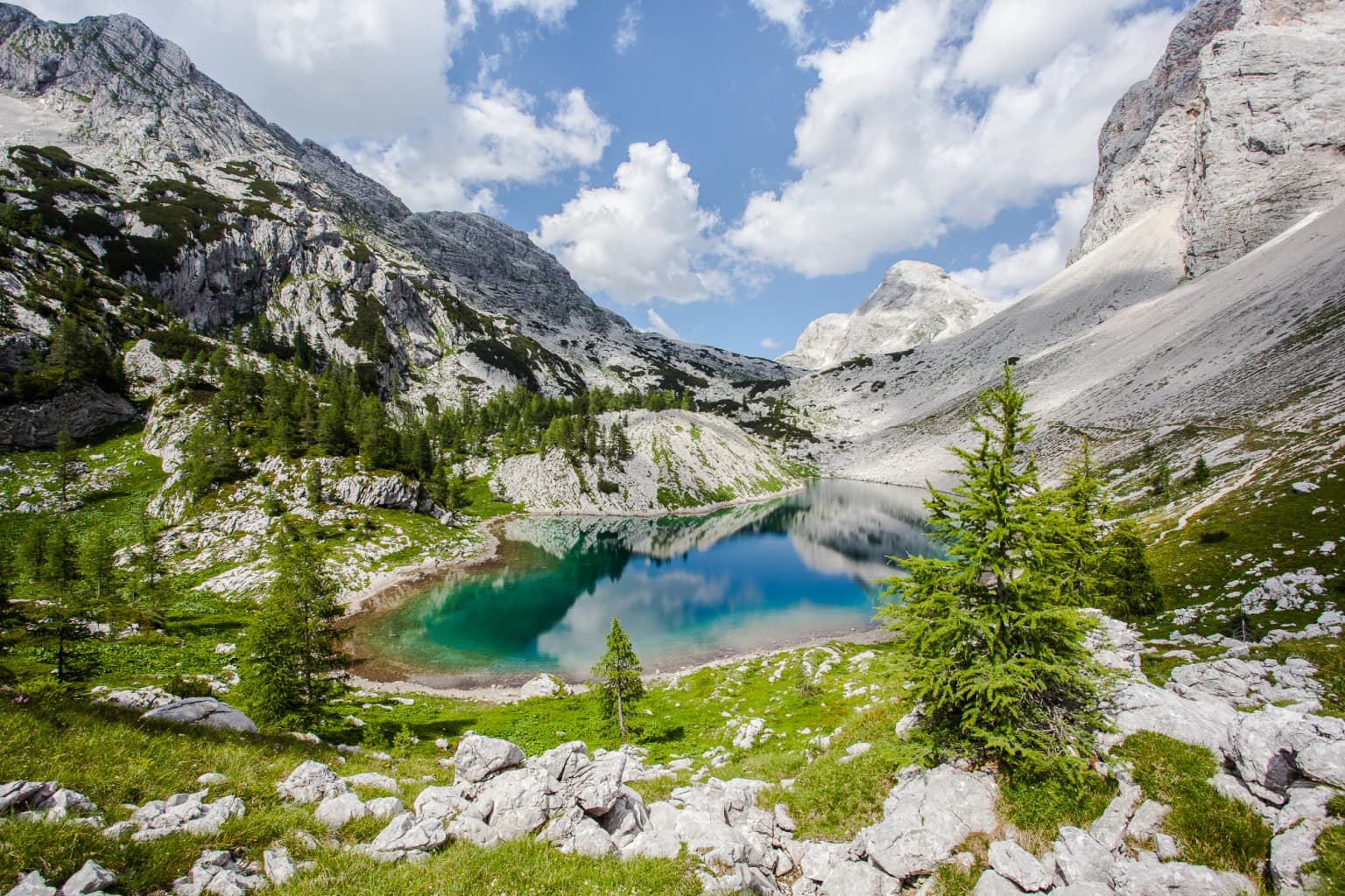
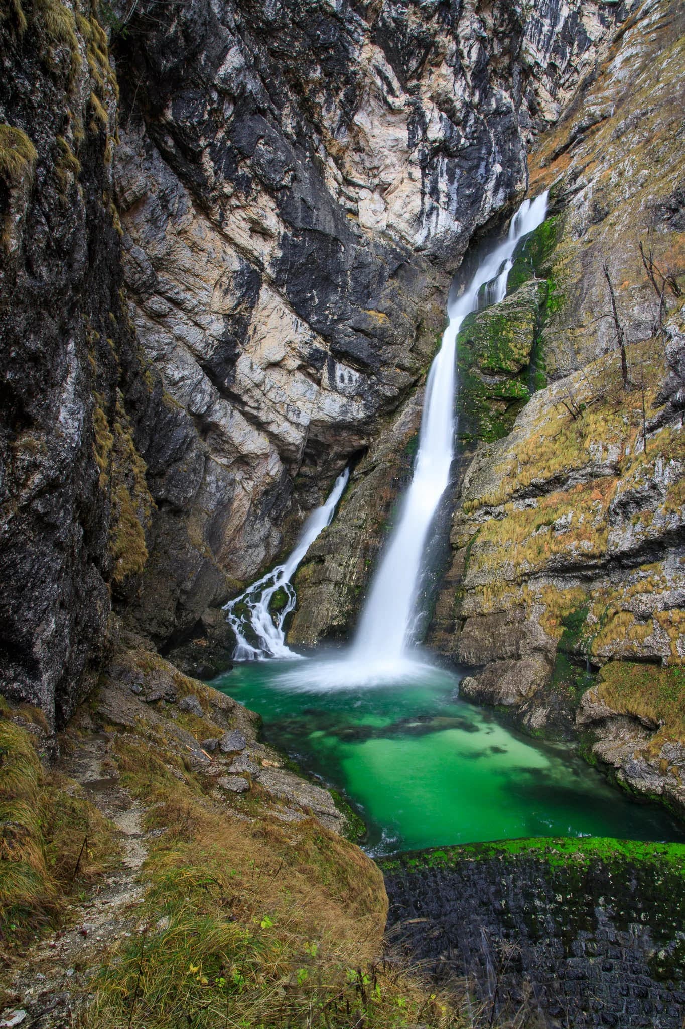
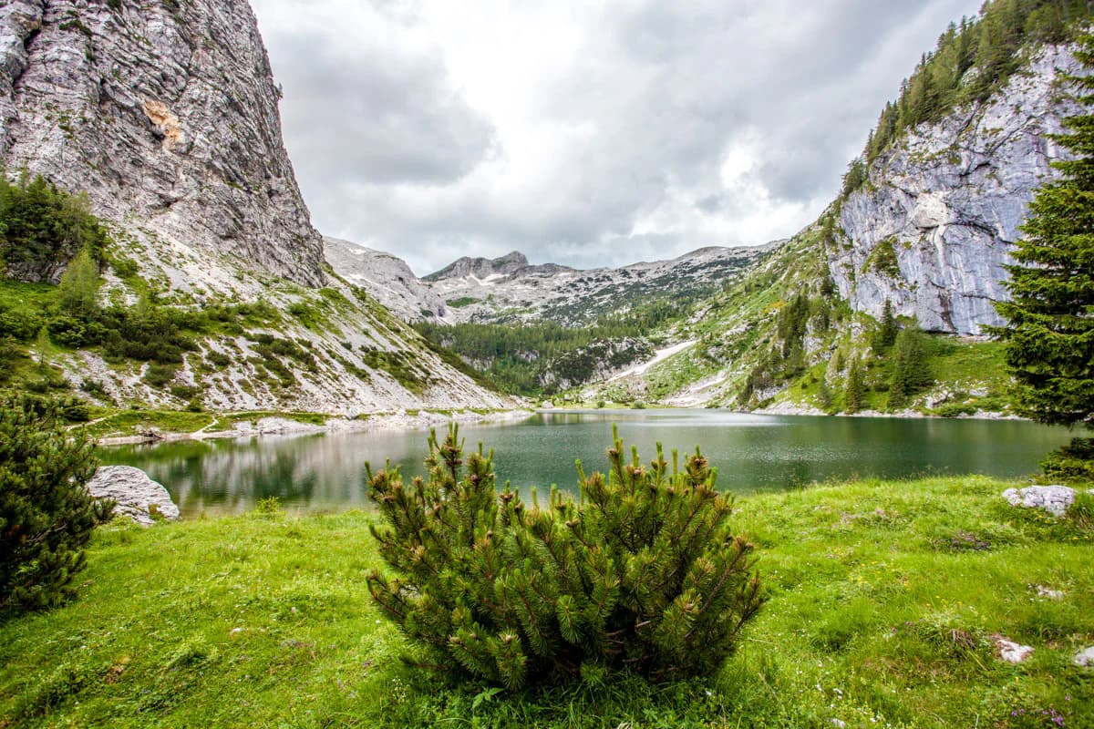
Triglav National Park is best known for its dramatic alpine scenery centered on Mount Triglav, a symbol of Slovenia that dominates the Julian Alps with its distinctive three-headed silhouette. The park protects the Triglav Lakes Valley, a chain of glacial lakes nestled in a remote high alpine basin, and Lake Bohinj, the largest permanent lake in Slovenia. The Soča River watershed within the park contains numerous waterfalls, including Boka Falls at 106 meters, the tallest in the country. The park also encompasses exceptional karst landscapes with over 600 registered caves, making it one of the world's most significant caving regions. The Triglav Lakes Valley represents one of the oldest proposed protected areas in Europe, with conservation efforts dating back to 1906.
Triglav National Park history and protected-area timeline
The protection of Triglav National Park traces its origins to the early twentieth century when seismologist and naturalist Albin Belar first proposed safeguarding the Triglav Lakes Valley area in 1906 or 1908. This pioneering proposal failed due to the absence of any legal framework for nature protection and contemporary laws that prohibited restrictions on traditional pastoral activities. In 1920, the Nature Protection Section of the Slovene Museum Society together with the Slovene Mountaineering Society submitted a formal memorandum to the Provincial Government for Slovenia, explicitly referencing Belar's proposal and advocating for protection modeled after other European nations. This effort resulted in 1924 when these organizations secured a twenty-year lease on approximately 14 square kilometers of the Triglav Lakes Valley, designated as an Alpine Conservation Park though permanent protection remained elusive. The name Triglavski narodni park was first coined in 1926 by Fran Jesenko, embedding the concept into Slovene conservation discourse. After the lease expired, renewed efforts faced obstacles from pastoral interests and unclear jurisdictional authority until the People's Republic of Slovenia declared the Triglav Lakes Valley a permanent national park in 1961 with an area of roughly 20 square kilometers. The modern national park was officially established in 1981 through legislation that expanded the protected area to 838 square kilometers and provided a new management framework. A subsequent law in 2010 slightly modified boundaries while incorporating the community of Kneške Ravne at the request of its inhabitants, bringing the park to its current 880 square kilometers.
Triglav National Park landscape and geographic character
The landscape of Triglav National Park exemplifies the dramatic geology of the Julian Alps, a subset of the Eastern Alps characterized by steep limestone peaks, deep glacial valleys, and extensive karst phenomena. Mount Triglav rises to 2,864 meters as the park's centerpiece, its distinctive three-peaked form serving as an iconic symbol of Slovenian national identity. The mountain's northern face spans three kilometers and rises over 1,000 meters, making it the largest vertical wall in the Eastern Alps. Radiating from this central peak, the valley of Vrata leads to the Triglav north wall, while other valleys including Krma, Kot, and the Triglav Lakes Valley spread outward through the protected landscape. The park encompasses significant karst terrain, with Upper Triassic carbonates creating extensive underground cave systems. Glacial action has sculpted the high mountain plateaus and carved the U-shaped valleys that characterize the region. The Soča River and its tributaries have cut dramatic gorges including the Tolmin Gorges, while the park's many waterfalls—most concentrated in the Soča watershed—add to the alpine drama. The lakes, all of glacial origin, include Lake Bohinj at the valley floor and smaller high-altitude lakes such as Krnsko jezero and the Triglav Lakes.
Triglav National Park ecosystems, habitats, and plant life
The nature of Triglav National Park reflects the ecological transitions created by its dramatic elevation range and position at the crossroads of Alpine and Mediterranean influences. Alpine vegetation dominates the high elevations, while the southwestern portions of the park bear the imprint of Mediterranean climate due to proximity to the Adriatic Sea. The park protects over fifty-nine species of ethnobotanical significance, with thirty-seven species classified under Slovenia's medicinal plant categories. Areas such as Črna prst on Bohinj's southern edge have been botanical research destinations for two centuries. The park's ecosystem diversity encompasses sharp high mountain zones with their characteristic flora, more welcoming environments in the intermediate valleys, and southern areas influenced by maritime conditions. The high karst plateaus contain numerous entrances to cave systems that plunge over a kilometer into the mountainside, with underground cave development closely tied to Pleistocene glaciation. The wetlands of the Pokljuka area including Veliko Blejsko barje, Goreljek, and Šijec represent the southernmost mountain bogs in Europe.
Triglav National Park wildlife and species highlights
Triglav National Park provides habitat for over 700 animal species, though the available source material provides limited specific information about the park's fauna. The protected status of the area ensures the preservation of alpine habitats that support diverse wildlife communities typical of the Julian Alps. The park's various elevations and habitat types—from valley floors through forest zones to alpine meadows and bare rock—create conditions supporting different species assemblages. High-altitude species including Alpine chamois and Alpine ibex inhabit the rocky peaks and alpine zones, while forest-dwelling species occupy the wooded valleys. The lakes and rivers support aquatic life, with Krnsko jezero historically known for its population of marble trout known as pisanci. Birdlife includes species characteristic of alpine and forest habitats. The Soča River watershed within the park provides spawning grounds for migratory fish species.
Triglav National Park conservation status and protection priorities
Triglav National Park holds IUCN Category II designation as a national park, though the Slovenian implementation has faced documented challenges in meeting full Category II criteria. The park's protection framework is reinforced by multiple legislative instruments including the Slovenian Constitution, environmental protection law, nature conservation legislation, water law, agricultural-forestry law, and the Alpine Convention with its protocols. The Julian Alps were designated as a UNESCO Biosphere Reserve in 2003, with this status renewed through 2023, reflecting international recognition of the region's ecological significance. Conservation challenges noted in official assessments include the presence of permanent settlements within the core zone, inadequate spatial planning particularly regarding road construction, unmanaged traffic including unauthorized aerial activity, issues related to mass visitation and noisy events, unresolved status of mountaineering infrastructure, and inadequate regulation of natural resource use including forestry, hunting, and grazing. The park's significance extends beyond Slovenia as the Julian Alps represent a critical component of European alpine ecosystems and watershed systems serving both the Adriatic and Black Sea basins.
Triglav National Park cultural meaning and human context
Human settlement within Triglav National Park traces its origins to the Iron Age or Halstatt period around 800 BCE, with settlement density increasing during Roman times and especially with the arrival of Slavs. Today's settlements within and adjacent to the park formed from the thirteenth century onward, developing as clustered and roadside villages in alpine valley bottoms near watercourses, scattered settlements on elevated terraces and sunny slopes, and isolated farms in remote valley sections. Within the park boundaries, twenty-one settlements exist entirely while another twelve lie partially within the park, with a total population of approximately 2,444 residents. The Bohinj area features clustered villages and hamlets including Stara Fužina and Studor with their distinctive traditional architecture. The western portions of the park exhibit more dispersed settlement patterns in valleys including Trenta, Soča, Vrsnik, Lepena, and Bavšica. Historical economic activities that shaped the cultural landscape included ironworks known as fužinarstvo, charcoal production called oglarstvo, alpine pastoralism known as planšarstvo, and forestry. The park contains numerous mountain huts and shelters serving hikers and climbers, along with cultural heritage sites including churches such as the Church of St. John the Baptist at Bohinj Lake, the Church of the Holy Spirit at Javorca from World War I, and ethnographic museums at Stara Fužina and Studor.
Top sights and standout views in Triglav National Park
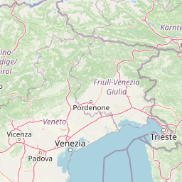
Triglav National Park offers exceptional natural attractions including the summit of Mount Triglav with Aljažev Tower at its peak, the Triglav Lakes Valley with its chain of glacial lakes, Lake Bohinj as Slovenia's largest permanent lake, and the dramatic Soča River gorges. The park contains over 600 registered caves making it one of the world's premier caving destinations, with notable depth records including Čehi II at 1,373 meters. Boka Falls at 106 meters ranks as Slovenia's tallest waterfall. The Julian Alps were designated a UNESCO Biosphere Reserve in 2003. Information centers operate at Bled, Trenta, Bohinj, Radovna, Kobarid, and Mojstrana. The park spans eight municipalities and is the only national park in Slovenia, representing approximately four percent of the country's territory.
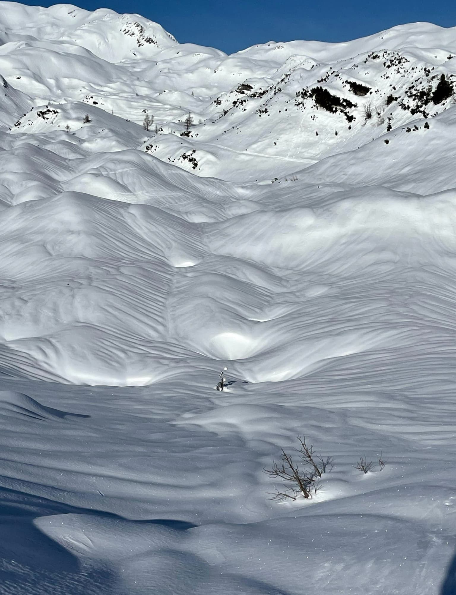
Best time to visit Triglav National Park
The best time to visit Triglav National Park depends on interests and tolerance for conditions. Summer months from June through September offer the most accessible conditions for hiking and outdoor activities, with warm temperatures in the valleys and accessible high mountain trails. Spring and early summer bring snowmelt feeding waterfalls to their peak flow. Autumn provides clearer skies, fewer crowds, and spectacular fall foliage in the forests. Winter transforms the park into a skiing and winter recreation destination, though many high-elevation trails become inaccessible and avalanche risk increases. The alpine climate means conditions vary dramatically with elevation—valley temperatures may be comfortable while summits remain cold and snowy even in summer. Those seeking to avoid peak visitor numbers might consider shoulder seasons, though some facilities and trails may have limited availability outside the main summer season.