
Mori Atlas logo
Park earthquake history

A chronological catalogue of regional seismic events associated with this protected landscape

Recorded Earthquake History and Seismic Records for Birzberg, Honigsack/Kappelberghang bei Fechingen

This resource provides a structured collection of historical earthquake events associated by epicenter distance with the Birzberg, Honigsack/Kappelberghang bei Fechingen nature reserve. The records reflect documented seismic activity within the broader Saar valley geography and surrounding Saarland region. Users can examine event dates, recorded magnitudes, and depth measurements for each listed occurrence to better understand the seismic context of this protected area.

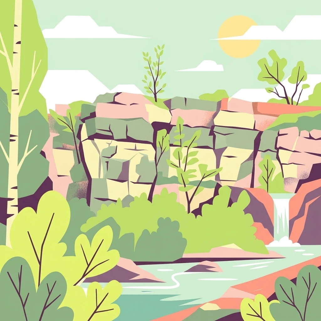
A flat vector illustration of a rocky cliff landscape with a small waterfall flowing into a stream, surrounded by lush green trees and foliage under a bright sun.

A species-rich orchid hillside and slope-and-stream nature reserve on the edge of Saarbrücken.

Birzberg, Honigsack/Kappelberghang bei Fechingen

Birzberg, Honigsack/Kappelberghang bei Fechingen is a protected nature reserve (Naturschutzgebiet) located on the territory of the city of Saarbrücken in the Saarland region of southwestern Germany. The roughly 188-hectare site lies southeast of the core city of Saarbrücken and south of the district of Fechingen, occupying slopes, hillside woodlands, and valley habitat along the margin of the Saar valley. Established as a nature reserve on 12 February 2016, the area is officially registered under the identifier NSG-N-6808-301 and is also recorded in the World Database on Protected Areas. The reserve is most notable for its richness in wild orchids, with at least a dozen documented species growing across its calcareous-influenced slopes and woodland margins. The combination of varied slope exposures, woodland, and streamside habitat supports one of the more floristically significant orchid sites in the Saarbrücken region. Beyond its orchid flora, the area contributes to conserving the mosaic of woodlands, slopes, and small valley habitats characteristic of the Saar valley landscape close to the French border. The protected area sits within a broader network of nature reserves in the Regionalverband Saarbrücken, reflecting its role in maintaining the ecological character of the Saar valley's natural corridor. It connects functionally with surrounding woodlands and protected areas, providing habitat continuity for plant and animal species across the Franco-German borderland.

Location
Germany
Park type
Nature reserve
Established
2016
Area
1.9 km²
Birzberg, Honigsack/Kappelberghang bei Fechingen Nature Reserve

Review Birzberg, Honigsack/Kappelberghang bei Fechingen event details and distances

Earthquake records for Birzberg, Honigsack/Kappelberghang bei Fechingen

Recorded epicentres are associated with Birzberg, Honigsack/Kappelberghang bei Fechingen by calculated distance, not by the reserve’s slopes, valley, woodland, or orchid grasslands. Dates, magnitudes, depths, localities, sources, and site distances support geographic and chronological comparison without implying habitat effects or current hazard.

Sort by
Magnitude
Location

This page describes catalogued earthquakes associated with the park by epicentre location and distance. It does not establish causation, assess current danger, or predict future earthquakes.

No earthquake records match the current filters

Park atlas

Continue beyond Birzberg, Honigsack/Kappelberghang bei Fechingen records

Other parks after Birzberg, Honigsack/Kappelberghang bei Fechingen

A distinct park collection follows the earthquake entries for Birzberg, Honigsack/Kappelberghang bei Fechingen. Its destinations are not claimed to share German geography, habitats, legal status, earthquake observations, geological context, proximity, seismic relevance, hazards, risk, or matching record pages.
Nature reserveSaarland
About 1.9 km away#1 closest

North

Wusterhang und Beierwies bei Fechingen: Protected Nature Reserve and Habitat Map

A study of calcareous beech forests and meadow geography in Saarland

Wusterhang und Beierwies bei Fechingen is a specialized nature reserve that captures the essential habitat diversity of the Saarland region. The area is defined by its small-scale mosaic of woodruff beech forest, orchid-rich calcareous slopes, and nutrient-poor grasslands. By examining this protected site, you can better understand the intersection of forest and meadow ecosystems that define this specific part of southwestern German geography.

Nature reserveSaarland
About 7 km away#2 closest

Southeast

Südlicher Bliesgau/Auf der Lohe: Mapped Protected Landscape in Saarland, Germany

Calcareous slopes and meadow habitat conservation areas

Located in the Saarpfalz-Kreis district, Südlicher Bliesgau/Auf der Lohe provides a focused conservation look at the slopes and ridges bordering the Blies river valley. The area showcases Muschelkalk geology and semi-open cultural landscapes, serving as a critical habitat for specialized plant communities within this unique German-French border geography.

Area
15.75 km²
Established
2004
IUCN
IV
A soft watercolor illustration depicting a river flowing through a lush green floodplain with trees, grasses, and a hazy background.
Nature reserveSaarland
11 km away#3 closest

East

Bliesaue zwischen Blieskastel und Bliesdalheim Nature Reserve and Regional Landscape Geography

Protected floodplain ecosystems in Saarland, Germany

The Bliesaue zwischen Blieskastel und Bliesdalheim protects a near-natural river course and its surrounding floodplain in the Saarland region. The reserve is characterized by complex soil conditions from Buntsandstein and Muschelkalk substrates, supporting a rich network of wetlands, marshes, and meadows that function as a cohesive ecological unit for migratory birds and protected species.

Area
1.981 km²
Established
2015
Relief
Lowland
Climate
Temperate
Nature reserveSaarland
15 km away#4 closest

East

Badstube Mimbach Nature Reserve: Protected Limestone Grasslands and Woodland in Saarland

A regional atlas exploration of Saarland biodiversity hotspots

Badstube Mimbach stands as a significant nature reserve located within the Bliesgau region of Saarland. This protected landscape is defined by its south-facing limestone slopes and terraced fields, providing essential habitat for rare flora and specialized fauna in a compact ten-hectare mosaic of open meadow and beech forest.

Area
0.095 km²
Established
2016
IUCN
IV
Nature reserveGermany
About 18 km away#5 closest

Northeast

Taubental Nature Reserve: Protected Landscape and Forest Geography in Germany

Core zone forest conservation in the Saarpfalz district.

Taubental Nature Reserve protects a continuous stretch of mixed broadleaf and coniferous forest situated on the Buntsandstone ridges of southwestern Germany. As a core zone within the Bliesgau Biosphere, it maintains essential habitat connectivity despite its proximity to major regional infrastructure, providing a unique case study in forest preservation within the Saarpfalz-Kreis landscape.

Area
4.26 km²
Established
2007
Nature reserveSaarland
About 20 km away#6 closest

Northwest

Breitborner Floß Nature Reserve: Mapping the Protected Landscape and Geography of Saarland

A vital habitat complex across the Saarlouis district

Breitborner Floß stands as a significant protected nature reserve in the Saarland state of Germany. Covering a mosaic of alluvial forests, silicate grasslands, and wet meadows, the site serves as a prime example of compact landscape conservation. Explore the mapped boundaries and natural terrain features that define this key component of the European Natura 2000 network.

Area
0.39 km²
Established
2015
IUCN
IV
Relief
Upland
A soft, artistic watercolor painting showing a wide, tranquil wetland scene with soft green and yellow hues, distant rolling hills, and patches of trees and vegetation in a floodplain environment.
Protected landscapeSaarland
About 21 km away#7 closest

Northeast

Beeder Bruch Protected Landscape: Blies River Floodplain and Wetland Geography in Saarland

A managed riverine sanctuary in the Bliesgau Biosphere Reserve

Beeder Bruch is a formally recognized protected landscape in Saarland, defined by the extensive floodplain of the Blies river. The site integrates wet meadows, riparian forests, and reedbeds, serving as a key European bird protection zone. Visitors can explore the mapped terrain, which utilizes conservation grazing to maintain essential wetland habitats and support local biodiversity within the Bliesgau region.

Area
127 km²
Established
2015
IUCN
V
Nature reserveRheinland-Pfalz
About 23 km away#8 closest

East

Monbijou Nature Reserve: Mapped Protected Landscapes in the Südwestpfalz District

Regional geography and conservation of dry grassland habitats

Monbijou stands as a significant twenty-six hectare nature reserve in Rheinland-Pfalz, defined by its mosaic of sun-exposed dry grasslands and forest-edge communities. This protected area plays a crucial role in maintaining rare plant species and uncommon animal habitats within the rolling terrain of the southwestern Palatinate, near the Hornbach stream and the local airfield.

Area
0.26 km²
Established
1978
Scope
Terrestrial
Water
Minor water
MoriAtlas Explorer

Explore the Mapped Geography of Birzberg, Honigsack/Kappelberghang bei Fechingen

Continue exploring the protected boundaries and natural terrain of this Saarland nature reserve. MoriAtlas provides detailed geographic context and landscape data to help you understand the ecological importance of the slopes and valley corridors located near Fechingen.