
Mori Atlas logo
Park guides

Technical insights and thematic guides for understanding the vertical canyon landscape.

Black Canyon of the Gunnison National Park: Official Guide and Exploration Resources

Access the collection of specialized guides for Black Canyon of the Gunnison National Park in Montrose County. These resources provide context on the extreme vertical relief of the Gunnison River gorge, seasonal access shifts, and the ancient Precambrian geological history that defines this deep wilderness.

Related tags

Canyon LandscapeRock ClimbingTrout FishingGeological WonderWilderness Area

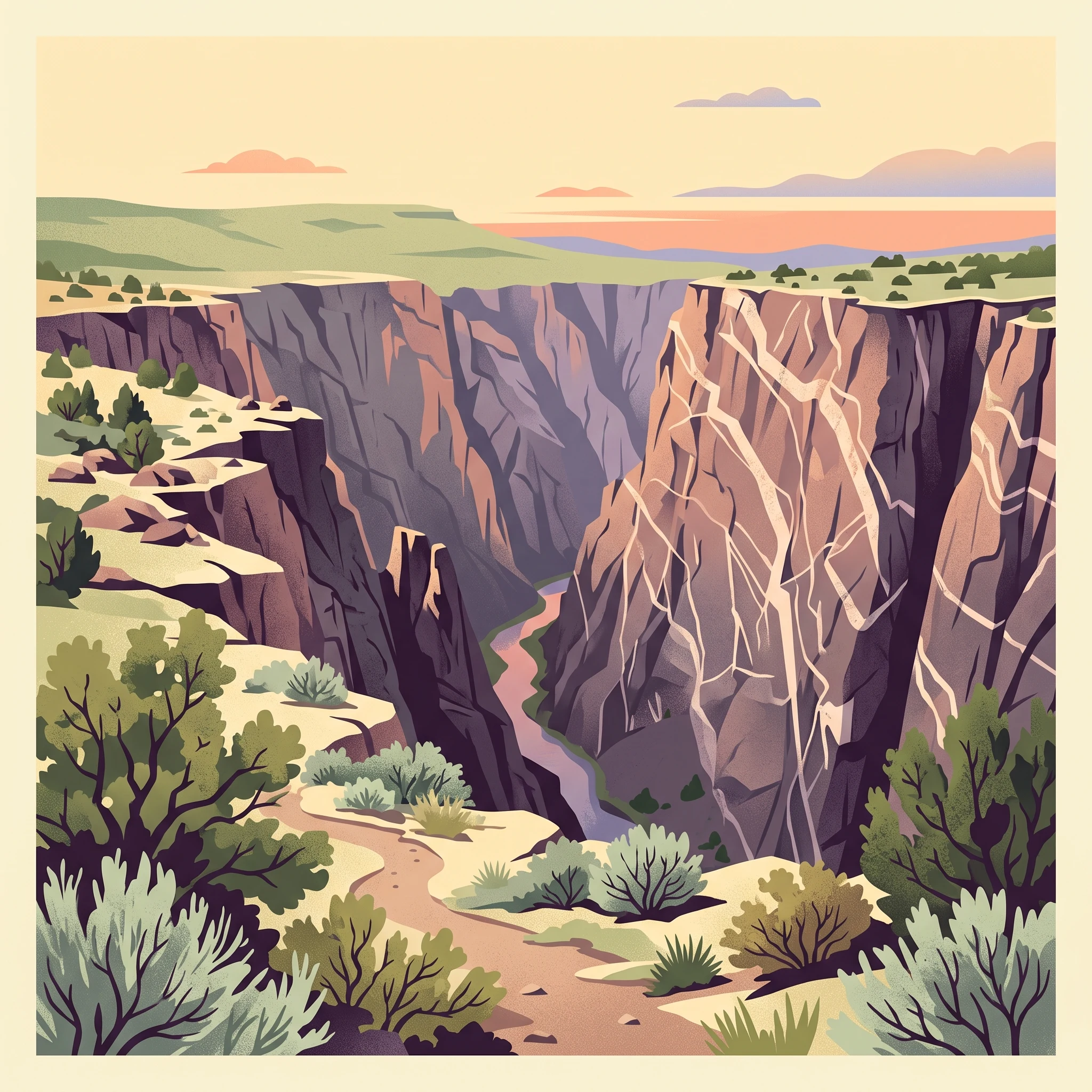
A deep, shadow-filled canyon carved by the Gunnison River through ancient Precambrian rock

Black Canyon of the Gunnison National Park

Black Canyon of the Gunnison National Park represents one of the Colorado Plateau's most compelling geological displays. The canyon formed as the Gunnison River, unable to change its course once established, cut through progressively harder metamorphic rock over millions of years. The river's descent of 34 feet per mile ranks as the fifth steepest mountain descent in North America, with the most dramatic drop occurring at Chasm View where the river falls 240 feet per mile. The canyon reaches just 40 feet in width at its narrowest point, creating an intimate, enclosed space where the walls rise thousands of feet above the river. Light-colored pegmatite dikes crosscut the dark ancient rock, most dramatically displayed on Painted Wall where they create geometric patterns against the 2,250-foot cliff face. The park protects the deepest and most dramatic section of a canyon that extends 48 miles total, with the upper portions managed as Curecanti National Recreation Area and the lower portions within Gunnison Gorge National Conservation Area.

Location
United States of America
Park type
National park
Established
1999
Area
124.4 km²
Highest point
690 m
Black Canyon of the Gunnison National Park Atlas
MoriAtlas Explorer

Continue Exploring Black Canyon of the Gunnison National Park's Mapped Landscape and Geography

Deepen your understanding of Black Canyon of the Gunnison National Park by examining its precise geographic attributes and protected land status. This national park offers a unique study in regional geography and mapped terrain, allowing for structured discovery of its landscape context. Continue to explore how this protected area fits within the broader atlas, revealing its specific natural terrain and boundaries for detailed geographic study.