

Peaks
Park geography
Detailed geographic data including regional location, elevation spans, and natural features
Black Forest National Park Geography, Mapped Boundaries, and Mountain Terrain Profile
Examine the physical characteristics of Black Forest National Park located in Baden-Württemberg, Germany. This profile maps the protected area across 100.62 square kilometers, detailing its 1150-meter peak elevation and structural landscape features including mountain summits, waterfalls, and diverse forest habitats.
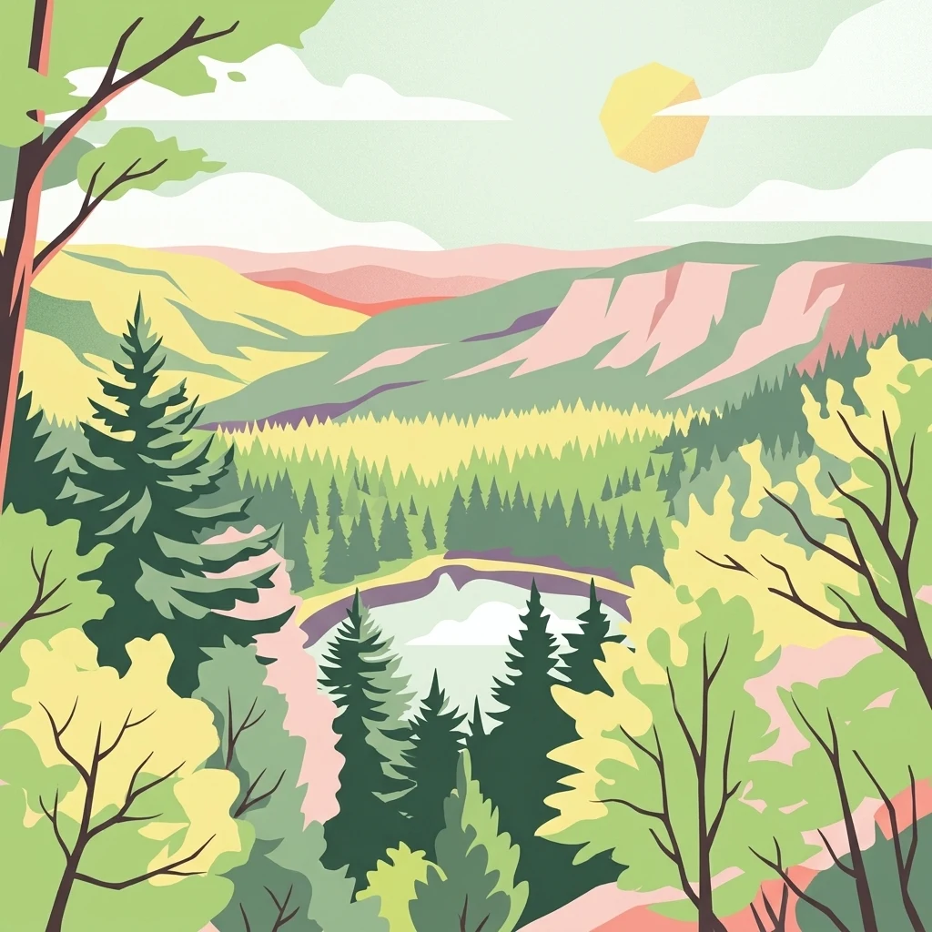
Germany's newest national park protecting the rugged highland forests of the Northern Black Forest
Black Forest National Park
Black Forest National Park is Germany's newest national park, established in 2014 in the southwestern German state of Baden-Württemberg. It occupies the main crest of the Northern Black Forest, spanning the highland terrain between the famous Black Forest High Road and the Murg river valley. The park covers 10,062 hectares across two separate but connected areas: the larger Ruhestein section in the southeast and the smaller High Ochsenkopf/Plättig area to the northwest. This protected area represents the first and only national park in Baden-Württemberg, filling a significant gap in Germany's network of protected landscapes.
- Location
- Germany
- Park type
- National park
- Established
- 2014
- Area
- 100.6 km²
- Highest point
- 1,150 m
Location overview
Administrative placement in Baden-Württemberg and German territory
Geographic Position of Black Forest National Park in Germany
Black Forest National Park lies entirely within the Baden-Württemberg region of Germany. Official data catalogs the location as a terrestrial, non-coastal sanctuary with single-country jurisdiction.
- Countries
- Germany
- Regions
- Baden-Württemberg
- Primary location
- Baden-Württemberg
- Geographic setting
- Inland
Boundary and coordinates
Exploring the 100.62 square kilometer spatial extent and geographic limits
Black Forest National Park Boundary Maps and Geographic Limits
Interactive boundary mapping traces the outer limits of the protected landscape to offer clear geographic context. Accompanying datasets outline estimated surface area, coordinate spans, and center points for spatial research.
- Boundary area
- 112.6 km²
- Boundary perimeter
- 147.6 km
- Northernmost point
- 48.6948° N
- Southernmost point
- 48.4907° N
- Easternmost point
- 8.3688° E
- Westernmost point
- 8.1848° E
- Geographic centre
- 48.5815° N, 8.2783° E
- North–south span
- 22.7 km
- East–west span
- 13.6 km
Elevation and terrain
Vertical range data and mapped natural features across the protected landscape
Black Forest National Park Elevation and Mountain Terrain Geography
Recorded elevation metrics outline a vertical range spanning from five hundred to one thousand one hundred meters across the mountain terrain. Linked cards detail recorded peaks, streams, springs, and water features located within the protected area.
- Minimum elevation
- 500 m
- Maximum elevation
- 1,150 m
- Highest point
- 1,150 m
Selected named natural features
Streams
Grobbach
Natural springs
Tonbachquelle
Streams
Stumpenteich
Streams
Dieckenteich
Peaks
Tomasberg
965 m
Environmental setting
Temperate mountain relief, forest cover, and aquatic features
Black Forest National Park Environmental Setting and Habitat Classification
Recorded classifications group the physical setting into temperate mountain relief, forest cover, and water presence categories. Connected atlas destinations link these specific environmental types to broader geographic contexts.
- Relief
- Mountain
- Climate
- Temperate
- Water
- Minor water
- Forest cover
- Mostly forested
Landscape features
Mountains · Lakes · Rivers · Waterfalls
Habitat types
Temperate coniferous forest · Boreal forest · Montane forest · Grassland · Wetland
Park atlas
Compare additional protected areas and natural landscapes across the Baden-Württemberg region and surrounding German states.
Explore Related Protected Landscapes Near Black Forest National Park in Baden-Württemberg
Explore a curated list of national parks and other protected areas situated near Black Forest National Park, tracing their geographic distribution and distinct landscape features. This contextual view allows for direct comparison of mountain forests, grinde terrain, and other conservation landscapes across Baden-Württemberg and neighboring regions.
Nature reserveBaden-Württemberg
13 km away#1 closest
Northeast

Eyach oberhalb Neuenbürg Nature Reserve: Mapped Geography and Protected Area Context
A diverse habitat mosaic in the northern Black Forest highlands
The Eyach oberhalb Neuenbürg nature reserve protects an intricate valley system that cuts through the northern Black Forest. This site is defined by its rich variety of forest, grassland, and rocky habitats clustered across steep hillsides and plateau surfaces. The data highlights the essential land cover and topographical features that sustain this protected area within the Baden-Württemberg regional landscape, offering a precise look at its ecological configuration and physical boundaries.
- Area
- 3.219 km²
- Established
- 2019
- Relief
- Mountain
- Climate
- Temperate
Protected landscapeBaden-Württemberg
About 13 km away#2 closest
Southeast
Plenter- und Femelwälder Protected Landscape and Central Black Forest Map
Historic selection forests and regional geography near Loßburg
Discover the complex landscape of Plenter- und Femelwälder, a protected area shaped by centuries of Plenterwald and Femelwald silviculture. This region features varied topography across the Grindenschwarzwald and Mittlerer Schwarzwald, offering a detailed look at forest stand diversity and the stream-carved valleys of the Kinzig drainage basin.
- Area
- 9.357 km²
- Established
- 1939
- IUCN
- V
- Relief
- Highland
Protected landscapeBaden-Württemberg
About 18 km away#3 closest
Northeast
Staatswald südlich Bernbach: Protected Landscape and Forested Ridge Atlas
Regional geography of the northern Black Forest in Baden-Württemberg
Staatswald südlich Bernbach represents a key protected landscape area in the northern Black Forest. Known for its continuous woodland covering peaks like the Tannschachberg and the Pfahlwald, the area also preserves unique wetland biotopes and designated natural monuments. This atlas entry provides a detailed look at the geographic boundaries and ecological context of this protected ridge system within the Calw district.
- Area
- 6.471 km²
- Established
- 1953
- IUCN
- V
- Relief
- Mountain
Protected landscapeBaden-Württemberg
About 18 km away#4 closest
East
Waldachtal mit Seitentälern Protected Landscape and Stream Corridor Map
Regional geography in the northern Black Forest
Waldachtal mit Seitentälern consists of a compact network of four protected valley sections centered on the Waldach river in Baden-Württemberg. The terrain features a mosaic of springs, ponds, and wet meadows, providing critical ecological connectivity between the forested Black Forest plateaus and the adjacent open Gäu uplands.
- Area
- 2.923 km²
- Established
- 1998
- IUCN
- V
Protected landscapeBaden-Württemberg
About 20 km away#5 closest
East
Nagoldtal Protected Landscape: Geography and River Valley Map of the Calw District
A northern Black Forest river corridor spanning eight municipalities
Analyze the territorial structure of Nagoldtal, a designated protected landscape spanning over four thousand hectares in the Calw district. The valley scenery reflects the intersection of the Schwarzwald-Randplatten and the Obere Gäue, characterized by a mosaic of forested slopes, open river valleys, and historical settlement patterns that define this prominent conservation corridor in southwestern Germany.
- Area
- 43.584 km²
- Established
- 1971
- IUCN
- V
- Relief
- Upland
Protected landscapeBaden-Württemberg
About 21 km away#6 closest
Southeast
Hachtel und Türnental Protected Landscape: Map, Geography, and Regional Setting in Germany
A traditional Muschelkalk valley and riparian landscape in Baden-Württemberg.
Discover the geographic composition of Hachtel und Türnental, a protected landscape in Dornhan, Baden-Württemberg. This area preserves a fine-grained mosaic of meadows, gallery woodland along the Türnenbach stream, and old fruit orchards that define the traditional rural character of the Obere Gäue plateaus.
- Area
- 0.597 km²
- Established
- 1962
- IUCN
- V
Nature reserveBas-Rhin
About 21 km away#7 closest
Northwest

Réserve naturelle nationale de la forêt d'Offendorf: Rhine Floodplain Protected Area
Alluvial forest and wetland geography in Bas-Rhin
Spanning sixty hectares along the Rhine, this nature reserve protects a mosaic of softwood and hardwood alluvial forests. The landscape serves as a key reference for the Alsatian Ried, illustrating the structural variety of ancient river channels, gravel banks, and riparian habitats found throughout this part of France.
- Area
- 0.591 km²
- Established
- 1989
- IUCN
- IV
Protected landscapeBaden-Württemberg
About 24 km away#8 closest
East
Teinachtal mit Seitentälern: Protected River Valley Landscape in the Northern Black Forest
Geographic map overview of the Teinach river valley and tributary systems.
The Teinachtal mit Seitentälern protected area serves as a significant conservation zone in the Landkreis Calw. This landscape, integrated with the Naturpark Schwarzwald Mitte and Nord, preserves a richly structured network of stream corridors and forest slopes that connect diverse local habitats.
- Area
- 12.606 km²
- Established
- 2000
- IUCN
- V
MoriAtlas Explorer
Continue Exploring Black Forest National Park's Mapped Geography and Regional Atlas Context
Deepen your understanding of Black Forest National Park by exploring its precise geographic features and mapped boundaries. This detailed atlas entry provides essential context for appreciating its role as a protected landscape within Baden-Württemberg. Continue your discovery to see how this national park fits into the wider regional geography and protected area network.
Browse next
Global natural geography
Explore related park routes
Explore MoriAtlas Global ParksBrowse All MoriAtlas ParksGlobal Park Map DiscoveryMoriAtlas: Browse All CountriesBrowse All MoriAtlas ContinentsNational Park Environment AtlasGrand Canyon National Park AtlasYellowstone National Park AtlasYosemite National Park Atlas and GeographySerengeti National Park AtlasGalápagos National Park Protected LandscapeBanff National Park Geography and AtlasKruger National Park Atlas EntryUluṟu-Kata Tjuṯa National Park AtlasExplore Uluru-Kata Tjuta National Park GeographyPlitvice Lakes National Park AtlasFiordland National Park Protected LandscapeGreat Smoky Mountains National Park AtlasAfghanistan National Parks and Protected AreasAlbania National Parks and Protected AreasAlgeria National Parks and Protected AreasAmerican Samoa National Parks and Protected AreasAndorra National Parks and Protected AreasAngola National Parks and Protected AreasAntarctica National Parks and Protected AreasAntigua and Barbuda Park List