
A comprehensive index of river corridors, rugged valley terrain, and protected landforms
Named Natural Features and Geographic Landscapes of Botan Valley National Park in Turkey
The natural feature index for Botan Valley National Park highlights the diverse geological and hydrological elements defining this southeastern Turkish landscape. Users can examine documented landforms, including the winding Botan River corridor and surrounding mountain terrain, to understand the physical connectivity within the Siirt Province region. This collection categorizes significant geographical entities associated with the park, providing a structured overview of the valley system and its varied riparian and topographical environments.
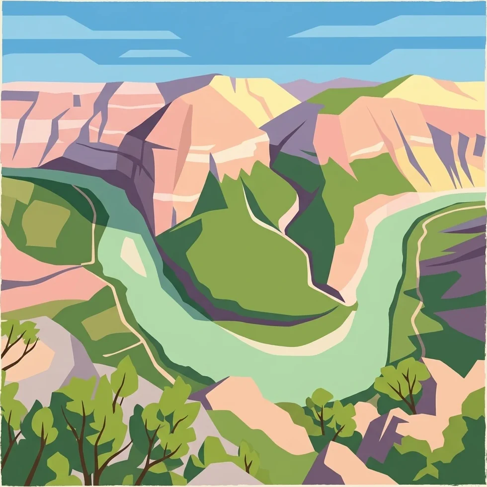
Tracing the distinct river systems, steep valley slopes, and rugged terrain in southeastern Turkey
Named Natural Features and Geographic Landmarks of Botan Valley National Park
Regional river geography and protected valley systems
Rivers
Browse the river network linked to the rugged topography of Botan Valley National Park. This index offers geographic insight into the watercourses that sculpt the valley floor, highlighting their contribution to the park's diverse riparian habitats and regional landscape connectivity.
Continue Exploring the Geography and Mapped Boundaries of Botan Valley National Park
Deepen your understanding of Botan Valley National Park by delving into its specific geographic context within Siirt Province. MoriAtlas facilitates detailed exploration of the park's protected landscape, its mapped terrain, and the surrounding regional geography. Continue to discover the atlas features that define this remarkable natural area and its conservation significance.