
Mori Atlas logo
Park guides

Explore targeted knowledge for navigating the diverse landscapes of this Welsh protected area.

Brecon Beacons National Park: Curated Guides and Seasonal Planning Resources

Access a structured collection of resources for Brecon Beacons National Park in South Wales. These guides focus on seasonal conditions and environmental context for the mountain ranges and moorlands characterizing this protected upland landscape.

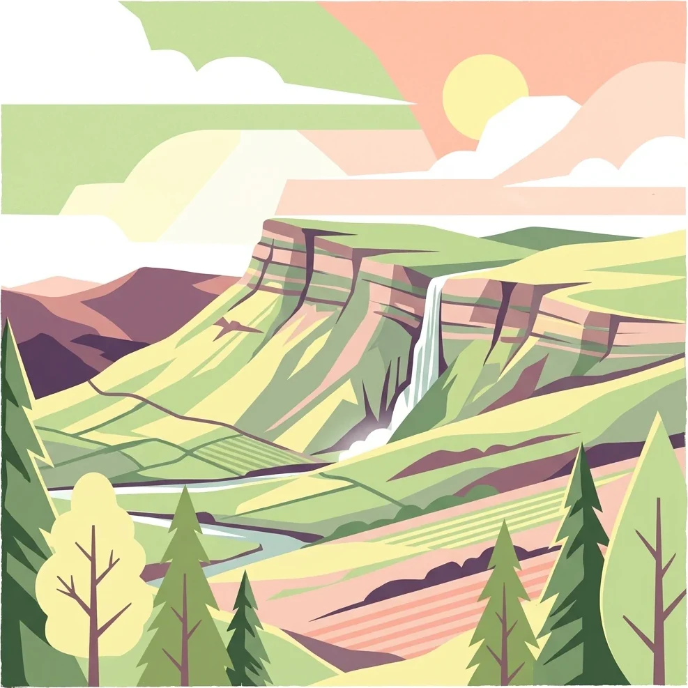
Stylized illustration showing a mountainous landscape with a waterfall, river, forests, and a sunset sky

Wales' newest national park protecting the mountain heart of South Wales

Bannau Brycheiniog National Park

Bannau Brycheiniog National Park protects a mountainous landscape in the heart of South Wales that has been shaped by hundreds of millions of years of geological processes and millennia of human activity. The park's three mountain ranges—the Black Mountains, the Brecon Beacons and Fforest Fawr, and the Black Mountain—form a continuous highland massif of Old Red Sandstone that rises dramatically from the surrounding lowlands. This geological foundation has created the distinctive scenery of bold escarpments, rounded summits, and steep-sided valleys that defines the area. The park stretches from Llandeilo in the west to Hay-on-Wye in the northeast and Pontypool in the southeast, encompassing not only the high mountain ridges but also the river valleys, forests, and farmland that form the wider cultural landscape. Beyond its natural beauty, the park holds significant archaeological evidence of human occupation from the Neolithic period onwards, with Bronze Age burial cairns, Iron Age hillforts, Roman forts, and medieval castles scattered across the hillsides. The 2023 renaming to Bannau Brycheiniog—derived from the Welsh words for 'peaks' and the ancient kingdom of Brycheiniog—reflects a deliberate effort to centre Welsh language and heritage in the park's identity, though the English name 'Brecon Beacons' remains widely used by visitors and locals alike.

Location
United Kingdom
Park type
National park
Established
1957
Area
1,344 km²
Highest point
886 m
Brecon Beacons National Park Details
1 guide

Compare available reference articles to plan your exploration around local weather patterns.

Brecon Beacons National Park Published Guides and Seasonal Research Collection

Published guides for Brecon Beacons National Park offer focused reference material addressing specific visitor inquiries. Selection topics examine seasonal conditions and optimal planning timeframes for mountain exploration.
MoriAtlas Explorer

Continue Exploring the Geography of Brecon Beacons National Park and Wales

Deepen your understanding of Brecon Beacons National Park by exploring its precise mapped boundaries and surrounding regional geography. MoriAtlas provides structured data to compare its landscape context with other protected areas across Wales and the United Kingdom. Further investigation into this iconic national park will enhance your appreciation of its unique terrain and its significance within the broader atlas of protected lands.

Global natural geography