
Mori Atlas logo
Park guides

Seasonal planning above Utah's hoodoos and amphitheaters

Bryce Canyon National Park visit-planning guide for its southern Utah setting

Use the available Bryce Canyon National Park guides to plan around high-plateau hoodoos and vast amphitheaters. The timing guide weighs warmer hiking from late spring through early autumn against frequent summer afternoon thunderstorms and winter snow that can restrict some trails and park roads.

Related tags

hoodoosamphitheatersColorado PlateauUtah national parksgeological wonders

A wonderland of crimson hoodoos and amphitheaters on Utah's Paunsaugunt Plateau

Bryce Canyon National Park

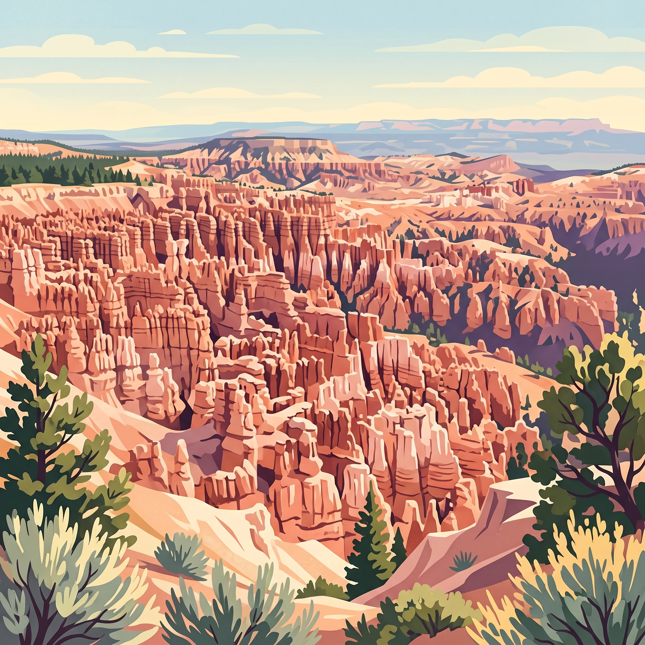
Bryce Canyon National Park occupies a remarkable position on the southeastern edge of the Paunsaugunt Plateau in southwestern Utah, part of the vast Colorado Plateau geographic province. The landscape that visitors encounter today represents the product of roughly 60 million years of geological processes, including two major periods of uplift that raised the Colorado Plateaus and created the vertical joints that would eventually erode into the hoodoos visible today. The distinctive pink and white cliffs of the Claron Formation, laid down during the Cenozoic era in lake and river environments, proved susceptible to the frost weathering and erosive forces that preferentially attacked weaker rock layers while leaving harder layers as the caps of the hoodoos. The result is a surreal landscape of fantastically shaped pinnacles, natural bridges, and amphitheater walls that unlike a canyon was not formed by a single central stream but by headward erosion working from the plateau edge backward into the tableland. The park's position at elevation creates a montane desert environment that supports surprisingly diverse plant and animal life across its elevational range.

Location
United States of America
Park type
National park
Established
1928
Area
145 km²
Highest point
2,775 m
Bryce Canyon National Park Protected Area Atlas
1 guide

Compare thematic resources addressing seasonal timing, weather conditions, and high-altitude hiking logistics.

Published Guides and Visit Planning Resources for Bryce Canyon National Park

Browse published resources dedicated to planning trips around optimal seasonal weather conditions and high-altitude trail access. These thematic guides help evaluate seasonal trade-offs between pleasant daytime temperatures, summer thunderstorms, and winter snow restrictions.
MoriAtlas Explorer

Continue Exploring Bryce Canyon National Park's Geographic and Landscape Identity

Deepen your understanding of Bryce Canyon National Park's significance as a protected landscape within Utah's atlas. This destination provides detailed insights into its mapped boundaries and natural terrain, crucial for comprehending its unique geographic context. Continue your exploration to appreciate the conservational value and geological features that define this important natural area.