
Mori Atlas logo
Park guides

Seasonal context for tepuis, waterfalls, and Gran Sabana forest

Canaima National Park visit-planning guide for its Bolívar State context

Use the available Canaima National Park guides for Venezuela's vast landscape of tepuis, rainforest, savanna, rivers, and waterfalls. The timing guide contrasts the drier December-to-March period for trekking and waterfall viewing with lush transition months that bring more rain and may reduce access to remote areas.

Related tags

Table-top mountainsWorld Heritage SiteUNESCOTepuisAngel Falls

World's largest protected area of ancient tepuis, home to Angel Falls and the Gran Sabana

Canaima National Park

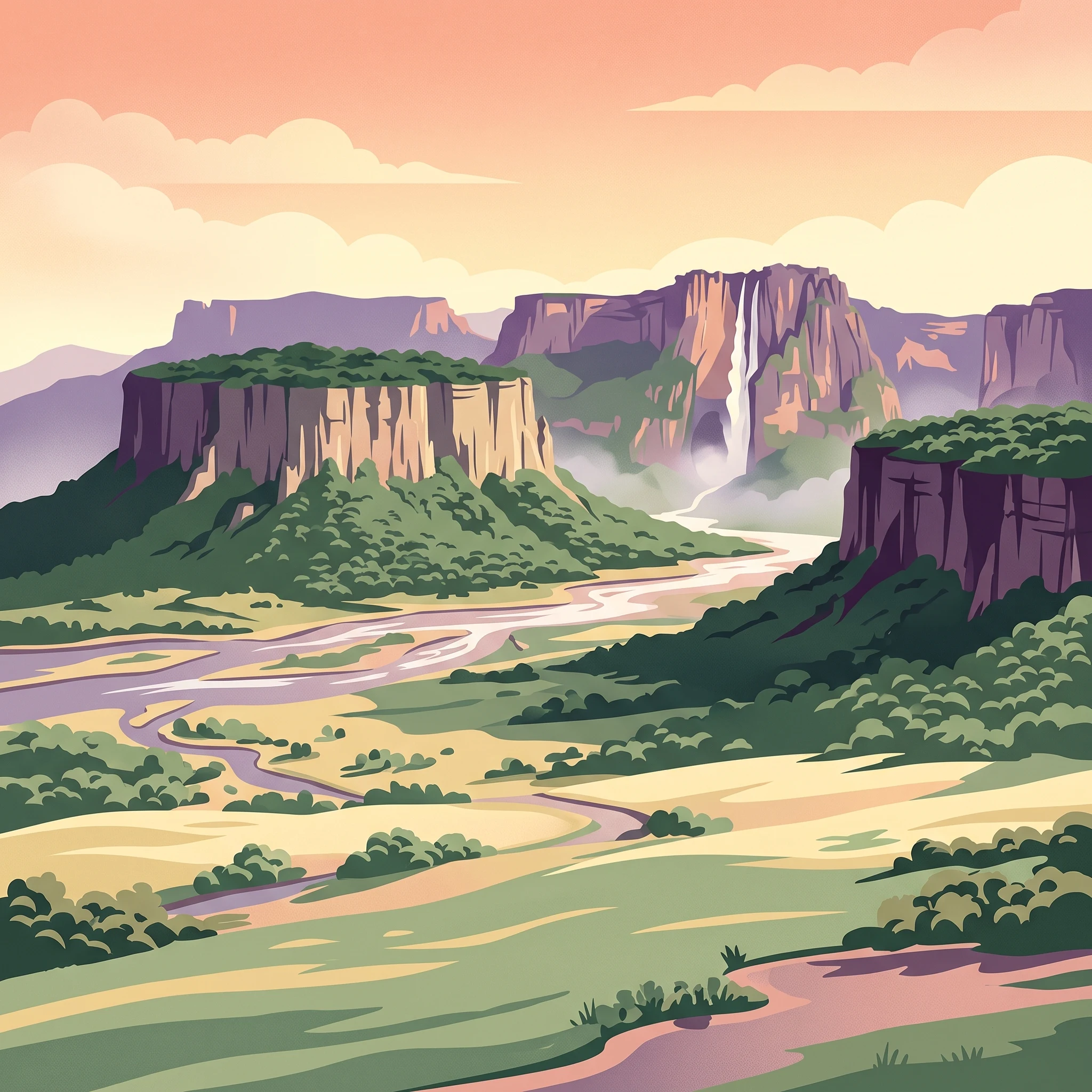
Canaima National Park represents one of the most spectacular and scientifically significant protected landscapes in South America. The park's defining feature is its extraordinary concentration of tepuis, ancient table-top mountains that rise like monolithic pillars from the surrounding rainforest. These geological formations, composed of Precambrian sandstone superimposed on ancient granite bases, range from 1.5 to 2 billion years in age, making them among the oldest formations on Earth. The tepuis occupy approximately 65% of the park's territory, creating a unique landscape of sheer vertical cliffs, cascading waterfalls, and isolated summit habitats that have evolved in near-complete isolation for millions of years. The park's hydrography is equally impressive, encompassing the entire watershed of the Caroní River's right bank and protecting two of the world's highest waterfalls, Angel Falls and Kukenán Falls, alongside numerous smaller cascades scattered throughout the terrain. Beyond its geological significance, Canaima holds immense ecological value as part of the Guayanan Highlands moist forests ecoregion. The isolated tepui summits function as ecological islands, hosting plant and animal species found nowhere else on Earth. The park's relative remoteness, with limited road access and transportation primarily via light aircraft or foot and canoe, has helped preserve its wilderness character despite growing tourism interest.

Location
Venezuela
Park type
National park
Established
1962
Area
30,000 km²
Canaima National Park protected area atlas
1 guide

Compare thematic visit planning resources and seasonal timing profiles.

Canaima National Park Published Guide Collection

Published guides for Canaima National Park deliver focused coverage on optimal seasonal timing for trekking and waterfall viewing. Readers can evaluate drier months and transition periods to match specific environmental conditions.
MoriAtlas Explorer

Continue Your Atlas Exploration of Canaima National Park's Geography

Investigate the intricate geographic details and protected landscape features of Canaima National Park. By delving deeper, you can understand its place within Bolívar State's natural terrain and its significance in the broader atlas of Venezuelan protected areas, providing a foundation for further geographic discovery.