
Mori Atlas logo
Park guides

Browse organized insights for visiting the Waterpocket Fold and surrounding Utah wilderness

Capitol Reef National Park: Curated Guides for Desert Landscape and Geological Exploration

Access the collection of focused guides for Capitol Reef National Park to learn about optimal timing and environmental conditions for experiencing this geological monocline. These resources provide clear context on desert seasonality and the diverse rock formations defining this remote Utah landscape.

Related tags

Desert LandscapesGeological FormationsMonoclineDark Sky ParkUtah National Parks

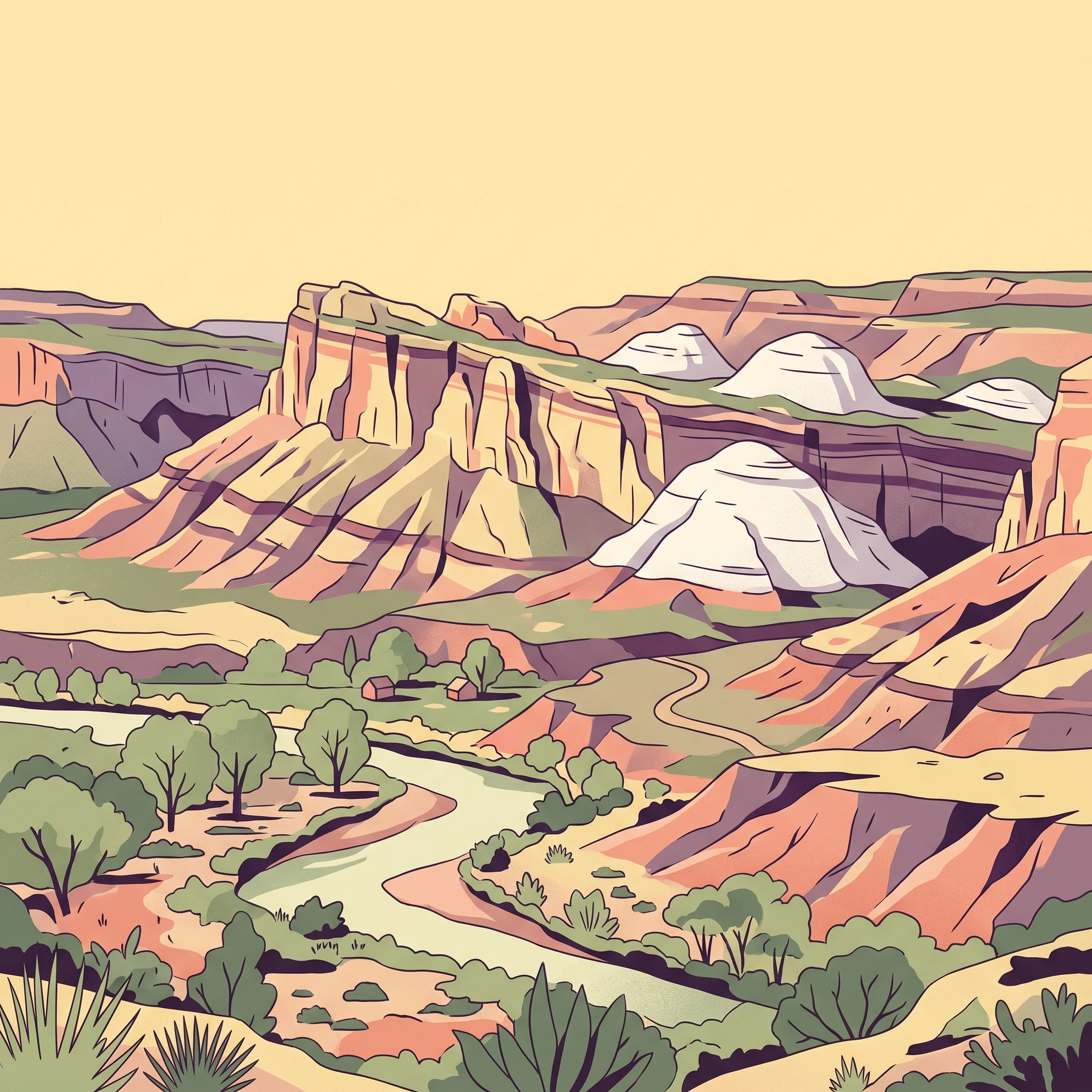
Desert landscape preserving the Waterpocket Fold monocline

Capitol Reef National Park

Capitol Reef National Park represents one of the most geologically significant and scenically dramatic protected areas in the American Southwest. The park's core feature, the Waterpocket Fold, is a massive warp in the Earth's crust that exposes nearly 100 miles of layered rock formations spanning hundreds of millions years of geological history. Unlike the more famous parks to the north and south, Capitol Reef remains relatively uncrowded, offering visitors an opportunity to experience Utah's desert landscapes without the heavy crowds found at Zion, Bryce Canyon, or Arches. The park's elongated shape along State Route 24 provides the primary east-west corridor through this remote section of Utah, connecting Canyonlands National Park to the east with Bryce Canyon to the west. The park encompasses a remarkable diversity of terrain, from the Fremont River flood plain at Fruita to the high desert plateaus and deep canyons of the Waterpocket Fold. The preservation of this landscape protects not only geological wonders but also biological diversity, with over 840 plant species recorded, including more than 40 rare or endemic species.

Location
United States of America
Park type
National park
Established
1971
Area
979 km²
Capitol Reef National Park Protected Landscape
1 guide

Compare topic led destination themes and select the exact park resource for your research question.

Published Guides and Regional Resource Collection for Capitol Reef National Park

Explore the complete collection of published guides covering seasonal timing, weather conditions, and terrain access for Capitol Reef National Park. These focused resources help researchers evaluate optimal spring and autumn windows against extreme seasonal temperatures along the Waterpocket Fold.
MoriAtlas Explorer

Continue Exploring Capitol Reef National Park's Protected Geography and Map Boundaries

Deepen your understanding of Capitol Reef National Park's unique protected landscape and its position within Utah's broader regional geography. By examining its mapped boundaries and natural terrain, you can gain valuable insights for atlas-style discovery. This provides essential context for appreciating Capitol Reef National Park as a distinct protected area within the United States.