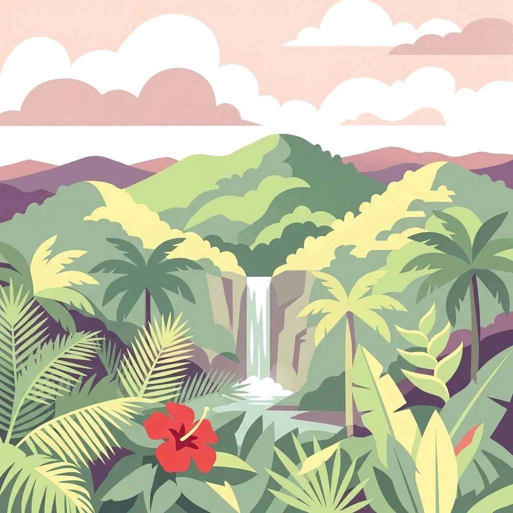

Why Carite State Forest stands out
Carite State Forest is best known for harboring an exceptionally high concentration of Puerto Rico's endemic wildlife, particularly within its very humid subtropical and dwarf forest zones. The forest is one of the last strongholds of the Puerto Rican plain pigeon, a subspecies that recovered from near extinction thanks to conservation efforts within the forest, and it remains a critical refuge for the endangered elfin woods warbler, the Puerto Rican sharp-shinned hawk, and the Puerto Rican broad-winged hawk. It is equally recognized for its dramatic volcanic mountain landscape, crowned by Cerro La Santa, and for protecting the headwaters of several major Puerto Rican rivers. The Charco Azul swimming pool, fed by a clear mountain waterfall, has become an iconic recreational landmark associated with the forest and the surrounding Ruta Panorámica scenic drive.
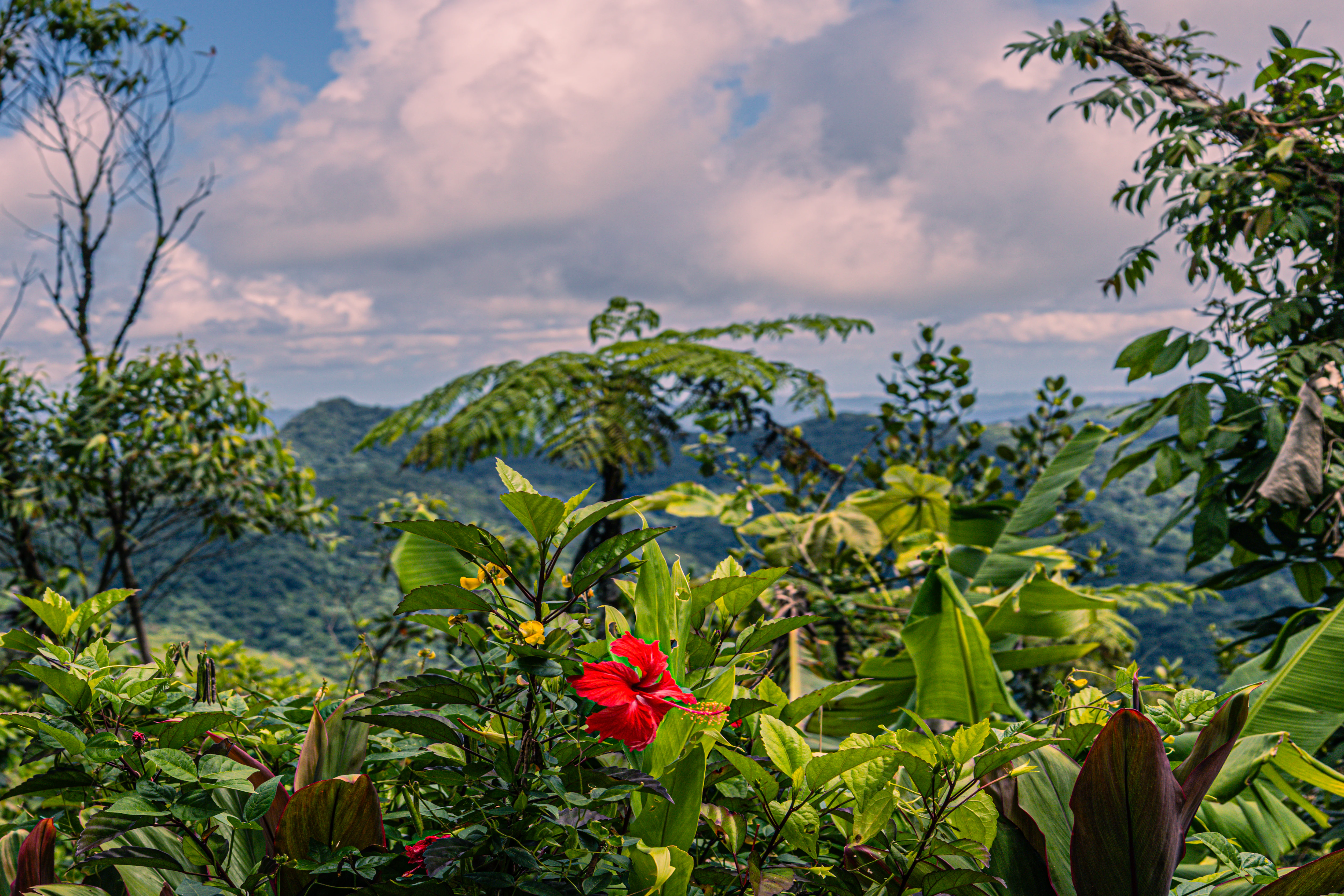
Carite State Forest history and protected-area timeline
The area that would become Carite State Forest was first protected by proclamation in 1935, with the original intent of developing its timber resources. In the early twentieth century, Puerto Rico's interior mountains had experienced severe deforestation, accelerating erosion and undermining the rivers that originated in the central cordillera. The 1935 proclamation was part of a broader Puerto Rican effort to stabilize these watersheds and re-establish forested cover.
The forest was formally listed as a state forest on July 1, 1975, through the Law of Puerto Rican Forests, Law Number 133, which organized Puerto Rico's public forestry assets into a defined administrative system administered by what is now the Department of Natural and Environmental Resources. Carite was designated as one of twenty forestry units under this framework.
Over time the forest's purpose shifted from timber production toward ecological preservation, watershed protection, scientific study, and recreation. The forest has been recognized as an Important Bird Area by BirdLife International since 2004, and in recent decades it has served as one of the last strongholds of the Puerto Rican plain pigeon. Its infrastructure, including trails and picnic facilities, has been heavily impacted by major hurricanes such as Georges and Maria, and the forest has since been in a long process of trail and recreation-area restoration.
Carite State Forest landscape and geographic character
Carite State Forest is a mountainous landscape shaped by ancient volcanic activity. The underlying geology of the area dates back to the Early Cretaceous period, more than 79 million years ago, and is dominated by volcanic rock formations that extend from the surface down to depths of several kilometers. About thirteen different soil types are found within the forest, reflecting the complexity of its topography and erosion history.
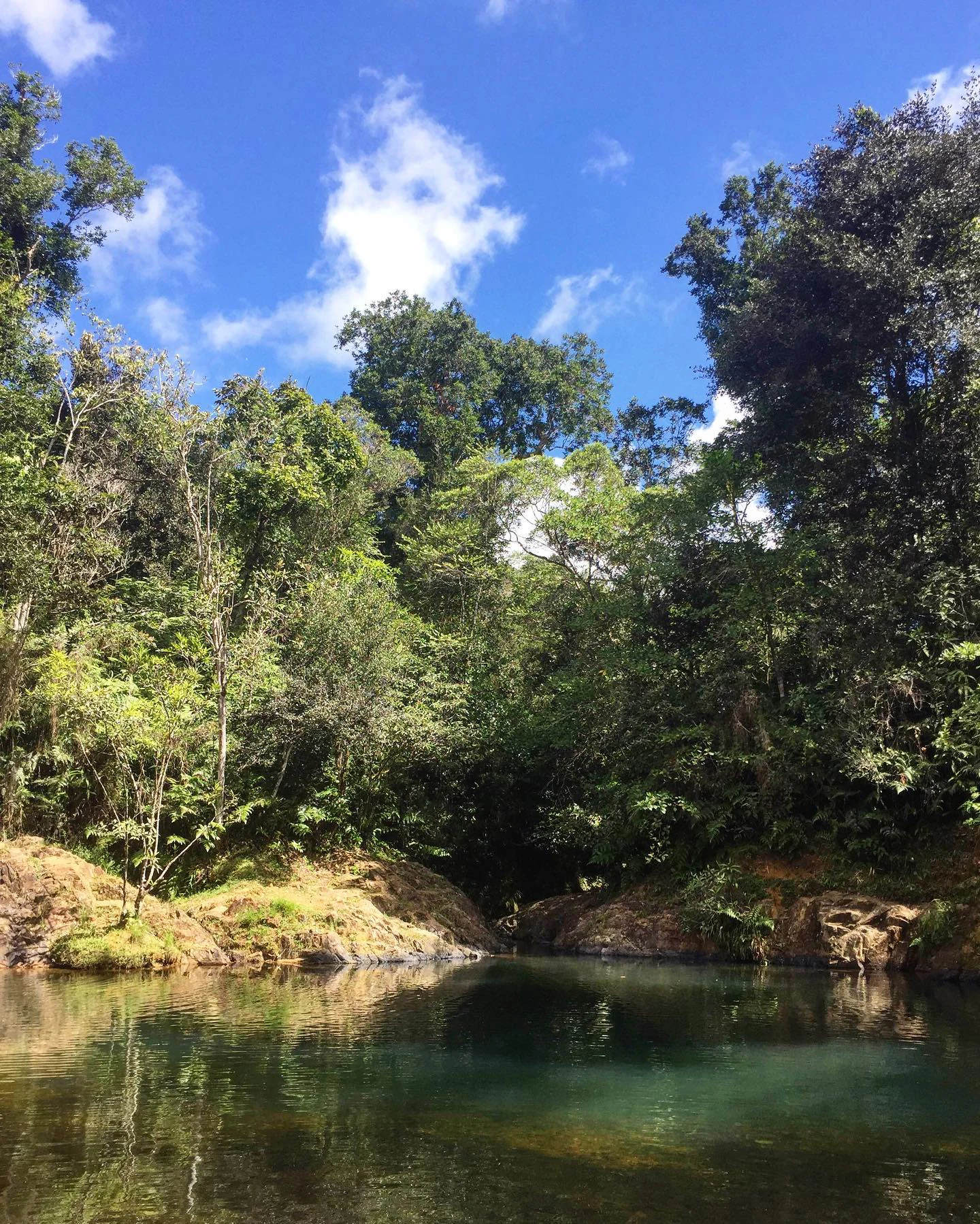
The physical setting belongs to the Sierra de Cayey, a sub-range of the larger Cordillera Central that runs across Puerto Rico from west to east. The forest's terrain is steep and dissected, with ridges, narrow valleys, and river-cut ravines. The highest point is Cerro La Santa, which rises to about 903 meters (2,962 feet) above sea level, and is the tallest summit in the municipalities of Caguas, Cayey, and San Lorenzo. The forest's signature surface feature is the Charco Azul, a vivid blue natural pool carved out by a river waterfall that flows into the Patillas River system.
In contrast to Puerto Rico's coastal plains, Carite's interior landscape is cool, shaded, and continuously moist. The forest's elevations are crossed by the Ruta Panorámica scenic highway, which provides expansive vistas across the surrounding mountains, river valleys, and the southeastern coastal lowlands visible from the higher overlooks.
Carite State Forest ecosystems, habitats, and plant life
Carite State Forest sits within the Puerto Rican moist forests ecoregion, one of the principal ecological signatures of the island's central mountains. The forest is large enough to contain three distinct ecological zones, layered by elevation and moisture, in a relatively compact geographical area.
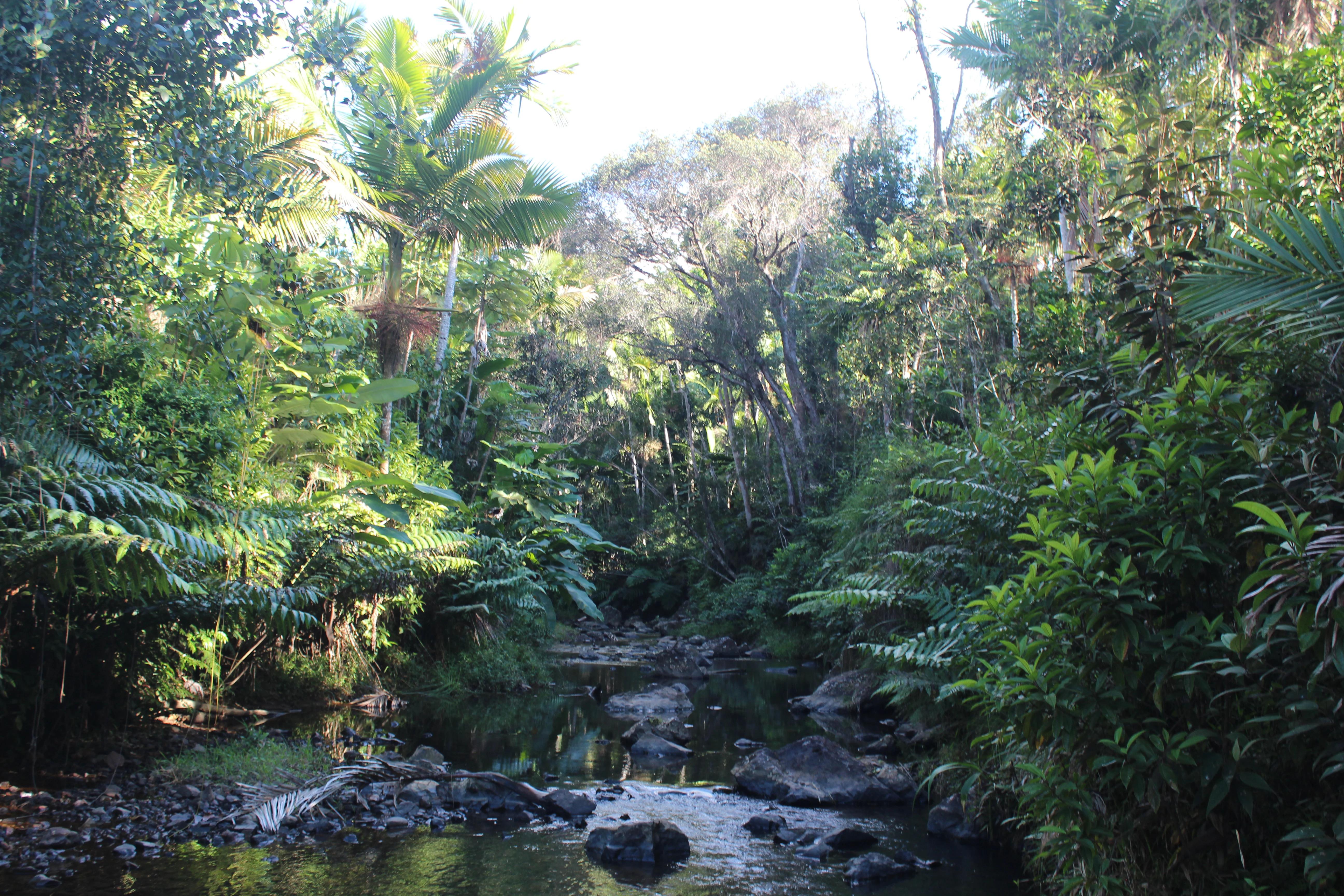
A small but distinctive zone of subtropical moist forest, dominated by Sierra palm trees, occupies about nine percent of the forest. The vast majority of Carite, nearly its entire land area, is classified as very humid subtropical moist forest, and includes patches of elfin or dwarf forest, a stunted, mossy vegetation type shaped by persistent cloud cover, humidity, and wind exposure. A much smaller fraction of the forest, around half a percent, is classified as low montane humid forest, characterized by palo colorado and other montane species.
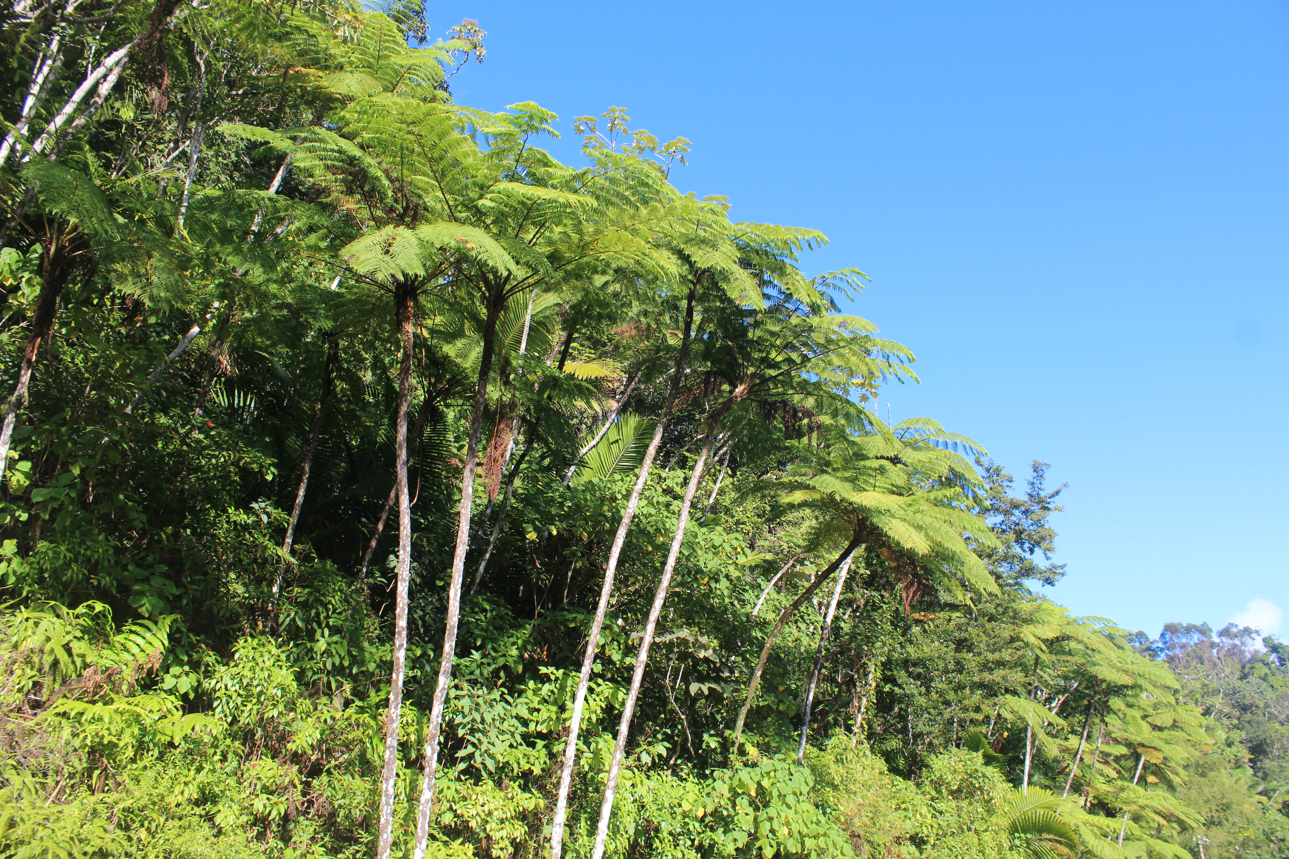
In total, the forest harbors more than 200 tree species, of which over 170 are native, and 43 endemic plant species. Among the most ecologically significant plants are the Puerto Rican magnolia, the Puerto Rican raintree, and the endangered Luquillo Mountain stopper, an extremely rare myrtle species found only in Carite and El Yunque National Forest. The forest also hosts characteristic montane vegetation such as tree ferns and tabonuco, lending parts of the area a classic Caribbean cloud-forest appearance.
Carite State Forest wildlife and species highlights
Carite State Forest supports rich and heavily endemic wildlife, despite its relatively small size. The area is home to around 49 species of birds, of which 9 are endemic to Puerto Rico, together with 15 amphibian species, 12 reptile species, and 7 mammal species. Roughly nine of the species recorded in the forest are considered endangered or threatened.
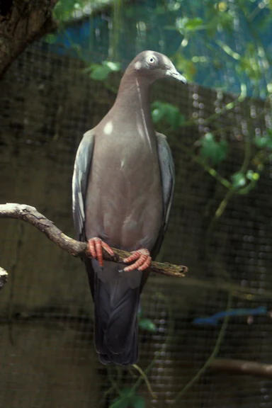
Among birds, the forest is especially important for the Puerto Rican plain pigeon, locally known as the paloma sabanera, an endemic subspecies that was once considered on the brink of extinction but has recovered due to conservation efforts in and around the forest. The endangered elfin woods warbler, the Puerto Rican sharp-shinned hawk, and the Puerto Rican broad-winged hawk also rely heavily on the forest's mountain habitats. Historically, Carite was also a habitat of the critically endangered Puerto Rican parrot before that species was extirpated from most of the island in the first half of the twentieth century.
The forest is a stronghold of Puerto Rico's famous coquí frogs, including the rare Eneida's coquí, the web-footed coquí, and the Puerto Rican rock frog, or coquí guajón. The Puerto Rican boa, the largest native predator on the island, is also present. The forest's amphibian fauna also includes the golden coquí, once found here but now considered extinct, underscoring both the ecological significance and the vulnerability of Carite's wildlife heritage.
Carite State Forest conservation status and protection priorities
Carite State Forest holds an important position within Puerto Rico's conservation network. As one of twenty state forestry units, it contributes to the island's strategy of protecting watersheds, native forests, and endemic species through public land management under the Department of Natural and Environmental Resources.
The forest was originally established largely for hydrological reasons, and one of its core conservation functions remains the protection of the headwaters of the Loíza, La Plata, and Patillas rivers. The forest's vegetative cover reduces erosion, stabilizes soils, and maintains downstream water quality for some of Puerto Rico's most heavily used river basins.
Ecologically, the forest has gained recognition as a critical refuge for endemic and endangered species. Since 2004, Carite State Forest, together with the adjacent Carite Lake area, has been officially designated as an Important Bird Area by BirdLife International, reflecting its significance for native and endemic bird populations. The forest's role in the recovery of the Puerto Rican plain pigeon, and its ongoing importance for rare endemics like the elfin woods warbler, the Puerto Rican boa, and the endangered Luquillo Mountain stopper, has made it a key site for ecological research and species monitoring in Puerto Rico.
Carite State Forest cultural meaning and human context
Although Carite is fundamentally a natural-area reserve, it sits within an intensely lived-in Puerto Rican landscape. The municipalities of Caguas, Cayey, Guayama, Patillas, and San Lorenzo surrounding the forest have deep agricultural and culinary traditions, and the forest's edge near Guavate in Cayey has become one of the most famous roadside gastronomic corridors in Puerto Rico, associated with traditional lechoneras where slow-roasted pig is served to weekend visitors.
The Sierra de Cayey range itself carries layered historical significance, having been shaped by coffee cultivation, small-scale farming, and the rural settlement patterns of Puerto Rico's interior mountain communities before reforestation and conservation became priorities in the twentieth century. The naming of Cerro La Santa, meaning 'peak of the saint' or 'peak of the holy woman,' reflects the enduring presence of Catholic devotional traditions in the surrounding landscape.
Access to the forest along the Ruta Panorámica, officially named the Luis Muñoz Marín Scenic Route, ties Carite into a broader scenic-cultural corridor of scenic overlooks, roadside food establishments, and small mountain communities. This combination of natural reserve and lived cultural landscape gives the forest its particular Puerto Rican identity, blending conservation with deep local recreational use.
Top sights and standout views in Carite State Forest
Among the standout features of Carite State Forest is its concentration of endemic and endangered Puerto Rican wildlife within a single, accessible mountain reserve. The forest is one of the last strongholds of the Puerto Rican plain pigeon, and is habitat for the elfin woods warbler, the Puerto Rican sharp-shinned hawk, and the Puerto Rican boa. Its recognition as a BirdLife International Important Bird Area emphasizes this bird-centric conservation profile.
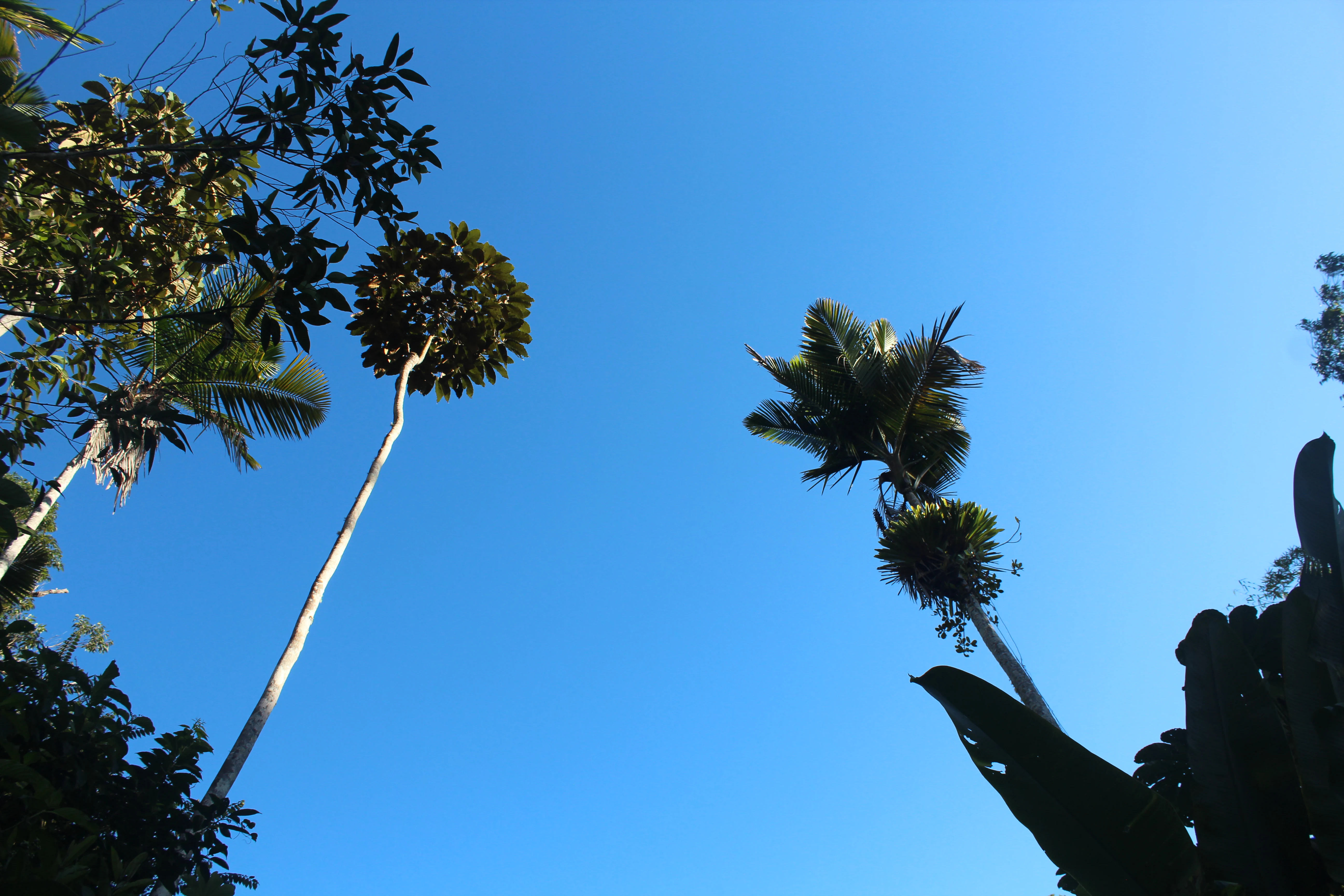
The forest also stands out for its dramatic volcanic mountain scenery, capped by Cerro La Santa, the highest peak in Caguas, Cayey, and San Lorenzo. The very humid subtropical forest, with elfin woodland patches, Sierra palm groves, and rare palo colorado stands, gives Carite a montane character unusual in the Caribbean.
Finally, the forest's hydrological role, protecting the upper basins of the Loíza, La Plata, and Patillas rivers, and its iconic Charco Azul swimming pool along PR-184 in Patillas, make it a distinctive blend of ecological reserve and traditional Puerto Rican recreation area, all reachable via the Ruta Panorámica scenic drive.
Best time to visit Carite State Forest
The climate of Carite State Forest is cool and humid relative to the rest of Puerto Rico, with average temperatures around 22 degrees Celsius and very high annual rainfall near 2,200 millimeters. The wettest period of the year runs from May through October, overlapping with the broader Caribbean wet season and the Atlantic hurricane season, which can affect trail conditions and accessibility.
As a result, the drier months of the year, generally outside the May-to-October window, traditionally offer more favorable conditions for hiking, scenic driving along the Ruta Panorámica, and outdoor recreation. That said, the forest's lush character, waterfalls, and the Charco Azul pool feel most vibrant when water levels are high, so visitors comfortable with misty, rainy conditions may find the wetter months especially atmospheric. Visitors planning to use trails or picnic areas should also factor in that not all infrastructure is continuously maintained, especially after major hurricane impacts.