
Mori Atlas logo
Park guides

Exploration resources for the high-altitude cloud forest landscapes of central Honduras

Cerro Azul Meámbar National Park: Official Guide Collection and Geographic Insights

Access a structured collection of thematic guides for Cerro Azul Meámbar National Park. These resources analyze the mountainous terrain and distinct cloud forest environments within the Sierra de Sulaco range, providing focused information on seasonal conditions for high-altitude exploration and watershed management.

Related tags

cloud foresthighland protected areaCentral American national parkHonduran parksmontane ecosystems

Honduran highland cloud forest reserve protecting Central American pine-oak ecosystems

Cerro Azul Meámbar National Park

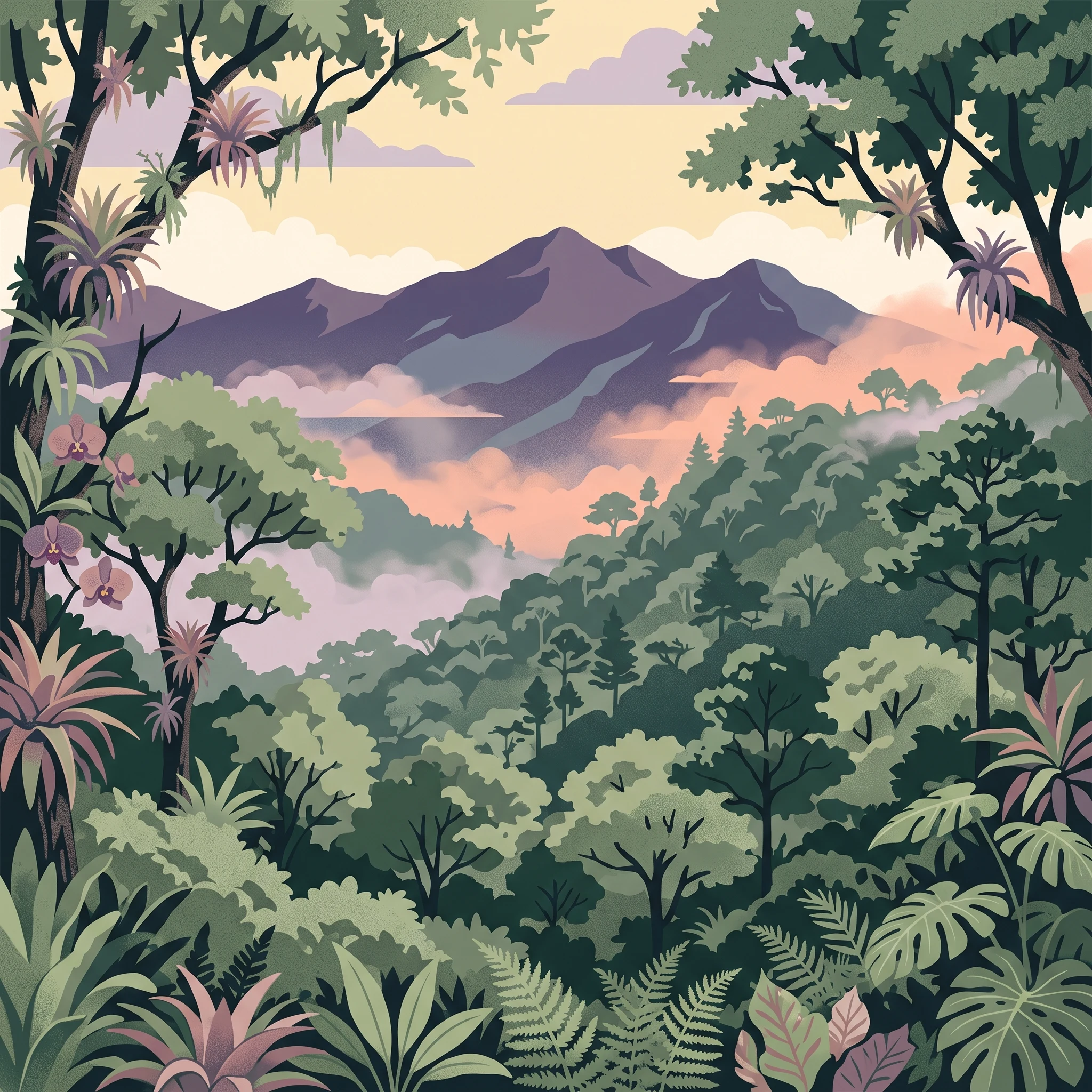
Cerro Azul Meámbar National Park occupies a significant position in Honduras's protected area network as one of the nation's larger mountain parks. The park's location in the Sierra de Sulaco places it within a mountain range that forms part of the broader Honduran highland system, creating a cool, humid environment distinct from the surrounding tropical lowlands. The cloud forest that characterizes much of the park's vegetation develops as moisture from the Caribbean coast rises along the mountain slopes, creating persistent cloud cover and high humidity at these elevations. This moisture regime supports dense vegetation including epiphytes, ferns, and mosses that are characteristic of cloud forest environments throughout Central America. The park's establishment in 1987 reflected Honduras's growing commitment to environmental protection during the 1980s, a period when several national parks and biological reserves were designated throughout the country. The 300-square-kilometer protected area provides a substantial core zone for conservation, while the surrounding landscape includes agricultural land and communities whose activities interface with the park boundaries.

Location
Honduras
Park type
National park
Established
1987
Area
300 km²
Highest point
2,047 m
Cerro Azul Meámbar National Park atlas
MoriAtlas Explorer

Continue Exploring Cerro Azul Meámbar National Park's Geographic Identity

Deepen your understanding of Cerro Azul Meámbar National Park by investigating its specific geographic markers and protected landscape features. This resource aids in tracing the park's boundaries and appreciating its role within Honduras's natural terrain and the wider atlas of Central American conservation areas. Continue your exploration to uncover more about its mapped setting.