
Mori Atlas logo
Park guides

Seasonal context for Costa Rica's highest mountain and páramo

Chirripó National Park visitor timing and climb-planning guide for Cartago Province

Use the available Chirripó National Park guides for Costa Rica's highest summit, glacial valleys, alpine lakes, cloud forest, and páramo. The timing guide highlights January through March for stable climbing conditions while explaining stronger permit demand and stark climate differences across the park's vertical zones.

Related tags

Alpine EnvironmentsTropical RainforestsCloud ForestsPáramo EcosystemsMountain Hiking

Costa Rica's alpine sanctuary encompassing the nation's highest peak and fragile páramo ecosystems

Chirripó National Park

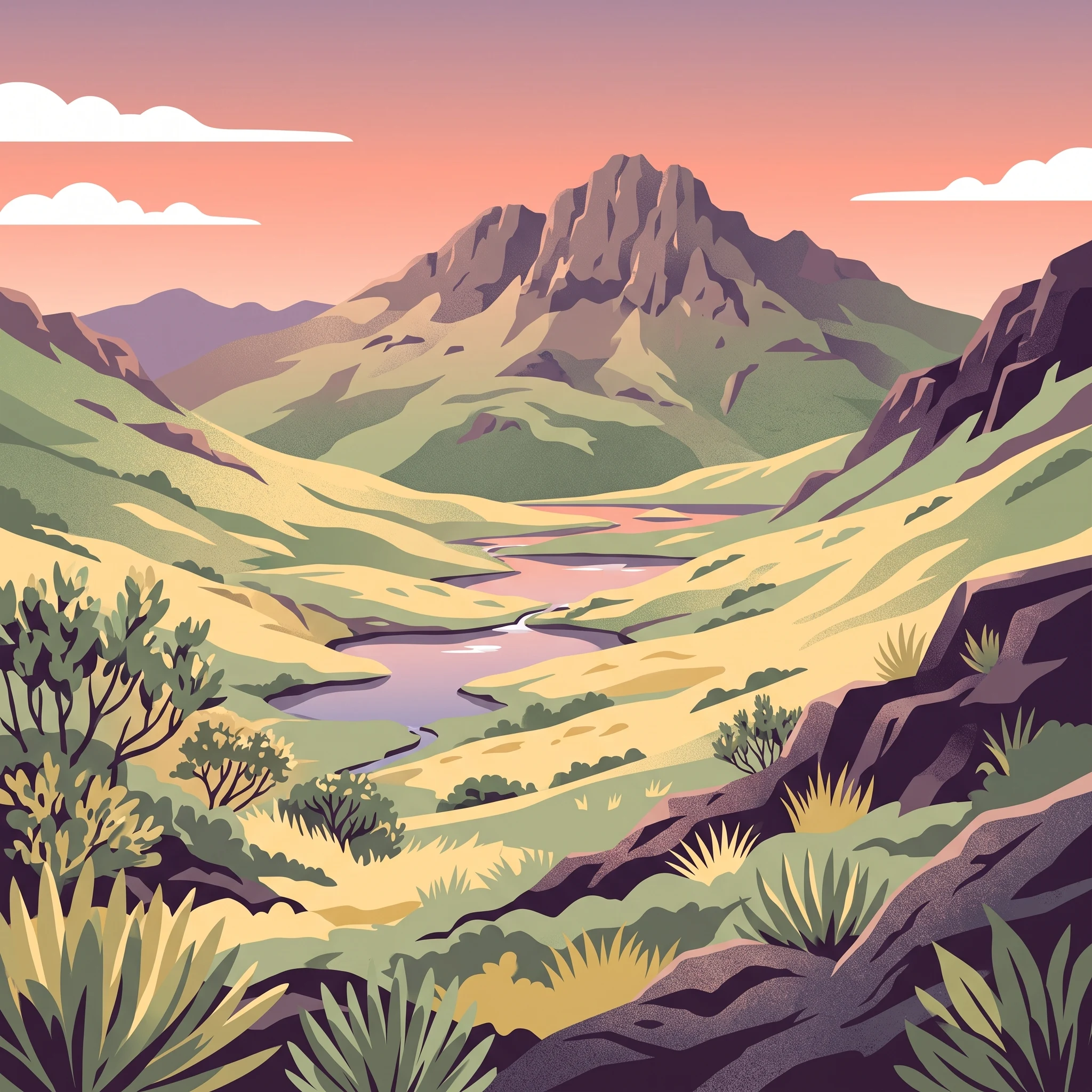
Chirripó National Park represents one of Costa Rica's most significant protected areas, encompassing a remarkable diversity of ecosystems within its 508.49 square kilometer boundary. The park straddles the Continental Divide along the spine of the Talamanca Range, creating a biogeographic bridge between North and South America. This strategic positioning has allowed the park to harbor species from both continents and develop unique evolutionary adaptations. The landscape is dominated by the massive silhouette of Cerro Chirripó, a granite massif that rises dramatically above the surrounding terrain. Below the summit, the terrain descends through a series of ecological bands that reflect changes in elevation, precipitation, and temperature. The lower elevations support primary tropical wet forests that transition into cloud forests as elevation increases, where persistent mist and moisture support specialized flora. Near the summit, the vegetation gives way to the distinctive páramo grasslands, a biome typically found in the high tropical Andes but appearing here as an isolated island of alpine habitat. This ecological isolation has allowed endemic species to evolve in relative seclusion, making the park particularly valuable for biodiversity conservation.

Location
Costa Rica
Park type
National park
Established
1975
Area
508.5 km²
Highest point
3,820 m
Chirripó National Park Protected Landscape
1 guide

Compare visitor timing themes to match your specific mountain climbing research questions

Published Guides and Focused Topic Overviews for Chirripó National Park

Published collections provide structured reference material dedicated entirely to examining seasonal climbing windows across the reserve. Review specific timing themes to evaluate stable weather conditions and vertical zone climate variations before planning.
MoriAtlas Explorer

Continue Exploring Chirripó National Park's Protected Geography and Atlas Context

Delve deeper into the precise mapped boundaries and regional geographic features that define Chirripó National Park. Understanding this protected landscape within Costa Rica's Cartago Province provides a foundational element for broader atlas exploration and appreciating the distribution of conservation lands across the region. Discover the unique terrain and mapped context that make this national park a distinct entry in the global protected areas dataset.