
Mori Atlas logo
Park guides

Focused resources for navigating seasonal transitions and wilderness park terrain

Available Guides for Cradle Mountain–Lake St Clair National Park in Tasmania

Access a curated collection of guides covering essential planning details for Cradle Mountain–Lake St Clair National Park. Discover resources concerning seasonal weather patterns and optimal visitation times for this prominent Tasmanian wilderness area, which features ancient rainforests and high-altitude glacial landscapes.

Related tags

Alpine EnvironmentTemperate RainforestWorld Heritage AreaWilderness HikingEndemic Wildlife

Tasmanian wilderness sanctuary of alpine peaks, ancient rainforests and the famous Overland Track

Cradle Mountain, Lake St Clair National Park

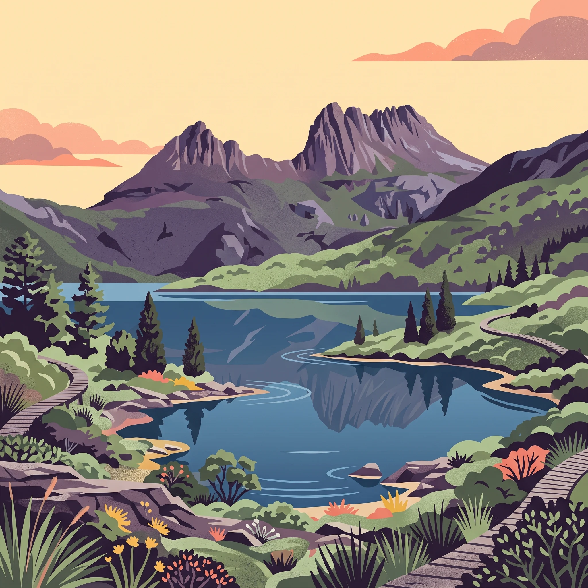
Cradle Mountain–Lake St Clair National Park occupies a vast tract of Tasmania's Central Highlands, protecting a landscape shaped by ancient glacial processes and characterised by dramatic mountain scenery, deep lakes, and extensive wilderness. The park's northern section is dominated by the distinctive silhouette of Cradle Mountain and Barn Bluff, while the central region encompasses the Pelion range including Mount Pelion East, Mount Pelion West, and Mount Oakleigh before giving way to the southern reaches where Mount Ossa rises as the state's tallest peak. Lake St Clair, stretching 17 kilometres in a north-south orientation, marks the park's southern terminus and represents a classic glacial lake formed by Pleistocene ice action. The park sits within the Tasmanian Wilderness World Heritage Area, a designation that recognises the outstanding global significance of this landscape's natural and cultural values. Walking trails radiate from both the northern and southern extremities, with the Overland Track providing the premier wilderness experience, though numerous shorter walks allow visitors to explore specific valleys, lookouts, and lake shores. The landscape varies dramatically with elevation, transitioning from wet sclerophyll forests through cool temperate rainforests to alpine heath and boulder fields as one ascends toward the exposed peaks.

Location
Australia
Park type
National park
Established
1922
Area
1,614.4 km²
Cradle Mountain–Lake St Clair National Park Atlas
1 guide

Compare focused published themes to match seasonal visit planning questions

Published Guides and Seasonal Planning Resources for Cradle Mountain–Lake St Clair National Park

Access the complete collection of published guides dedicated to exploring Cradle Mountain–Lake St Clair National Park through targeted seasonal planning resources. Readers can review specific timing considerations ranging from warm summer daylight windows to cooler alpine conditions.
MoriAtlas Explorer

Continue Exploring Cradle Mountain–Lake St Clair National Park's Protected Landscape and Geography

Delve deeper into the specific mapped boundaries and natural terrain of Cradle Mountain–Lake St Clair National Park. Understanding this key protected area in Tasmania enhances your grasp of regional Australian geography and conservation landscapes. Use this entry to build a structured map-based appreciation for this significant national park.