
Mori Atlas logo
Park guides

Exploratory resources detailing volcanic terrain, seasonal cycles, and landscape boundaries.

Collection of Specialized Guides for Crater Lake National Park in Southern Oregon

Navigate through curated documentation regarding the geological and environmental characteristics of Crater Lake National Park. These resources cover essential topics including the seasonal dynamics of the Cascade Range high elevation and the unique hydrologic properties of the deepest lake in the United States.

Related tags

Volcanic lakeCalderaDeep lakeCascade RangeOld-growth forest

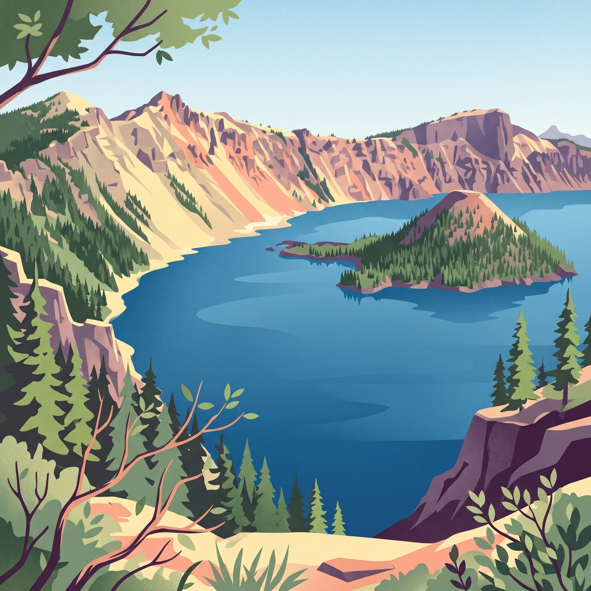
Deepest lake in the United States filling a volcanic caldera in southern Oregon

Crater Lake National Park

Crater Lake National Park occupies a dramatic volcanic landscape in southern Oregon, centered around a lake that fills a massive caldera formed by the catastrophic collapse of Mount Mazama around 7,700 years ago. The park encompasses the deep blue lake, its surrounding caldera walls, and extensive forests and meadows that characterize the high Cascade environment. The lake's surface sits at 6,178 feet above sea level while the surrounding rim reaches elevations between 7,000 and 8,000 feet, creating a setting of considerable vertical relief and scenic grandeur. Beyond the lake itself, the park protects diverse volcanic features including cinder cones, lava flows, and the remarkable Pumice Desert where volcanic deposits remain so porous that water drains through too quickly to support vegetation. The park's position at the crest of the Cascade Range places it in a transition zone between coastal and interior climate influences, resulting in heavy winter snowfall and a short summer visitor season.

Location
United States of America
Park type
National park
Established
1902
Area
741.5 km²
Highest point
2,722 m
Crater Lake National Park Protected Area
1 guide

Compare topic led destination articles and visitor timing resources

Crater Lake National Park Published Guides and Seasonal Timing Index

Published reference materials for Crater Lake National Park provide targeted resources addressing specific visitor timing questions. Evaluated themes cover seasonal snowpack shifts, summer rim access conditions, and winter landscape changes.
MoriAtlas Explorer

Continue Exploring Crater Lake National Park's Geographic Context

Deepen your understanding of Crater Lake National Park's protected landscape by examining its precise geographic setting and mapped boundaries. This national park offers a compelling case study in volcanic geology and caldera formation, vital for any atlas-driven exploration of natural terrains. Continue to discover the distinct regional geography and the unique natural features that define this significant area within Oregon's Cascade Range.