
Mapping the distinctive coastal landforms, shifting dune systems, and riparian environments.
Comprehensive Index of Natural Features and Geological Landmarks in Curonian Spit National Park
Browse the diverse collection of named natural features that define the geomorphology and ecology of Curonian Spit National Park. This geographic index tracks sand dune systems, coastal forests, and lagoon-side wetlands, providing a detailed view of the terrain that shapes this protected Baltic landscape. Each entry provides spatial context for landforms and ecosystems associated with the broader Curonian Spit territory.
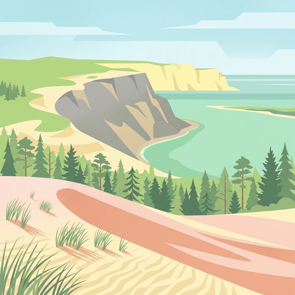
Relate Curonian Spit National Park records to dunes, coast, and wetlands
Dune, beach, and wetland records connected to Curonian Spit National Park
Topographic summit records and coastal landform geography
Peaks
Discover the catalog of named peaks and summits defined within Curonian Spit National Park. This geographic overview highlights elevation markers and topographic features that define the vertical morphology of this protected Baltic sand peninsula and its distinct coastal ecosystems.
Observation sites within the Baltic coastal sand dunes.
Viewpoints
Review the curated set of named viewpoints situated within Curonian Spit National Park. This collection highlights specific observation positions used to analyze the complex landscape of migrating dunes, maritime forests, and the sheltered lagoon waters that define this protected area.
Spatial analysis of enclosed coastal waters
Bays
Investigate the specific bay features found within Curonian Spit National Park. This data identifies how these recessed coastal waters connect to the Baltic environment and the park's sandy substrate, providing essential context for the regional landscape.
Coastal geography and morphological feature mapping
Beaches
This geographic collection documents the distinct beach zones identified along the Curonian Spit National Park coastline. Focus remains on the physical sediment composition and the interplay between marine currents and shoreline morphology within this UNESCO-protected landscape.
Coastal landform exploration and spatial mapping
Capes
This collection highlights the prominent cape features extending from the Curonian Spit into the Baltic Sea and the Curonian Lagoon. These land projections serve as key geographic anchors, helping to interpret the sediment patterns and coastal erosion processes that shape the unique natural environment of this national park.
Continue Exploring the Geography and Mapped Boundaries of Curonian Spit National Park
Deepen your understanding of the coastal environment within Curonian Spit National Park by reviewing detailed maps of its dunes, forests, and lagoon interfaces. MoriAtlas provides a structured look at the protected terrain and regional geography defining this unique Lithuanian national park landscape.