
Mori Atlas logo
Park guides

Seasonal context for Paroo wetlands and Queensland mulga country

Currawinya National Park visitor timing guide for Queensland’s seasonal conditions

Explore Currawinya National Park's guides for mulga plains, the Paroo River, and Lakes Numalla and Wyara. The timing guide compares milder May-to-September days suited to outback exploration with summer's dramatic desert scenery, extreme heat, and greater need for climate preparation.

Related tags

Ramsar wetlandsGreater bilbyBirdwatchingMulga landsWaterbird habitat

Ramsar-listed wetlands and bilby conservation in Queensland's mulga lands

Currawinya National Park

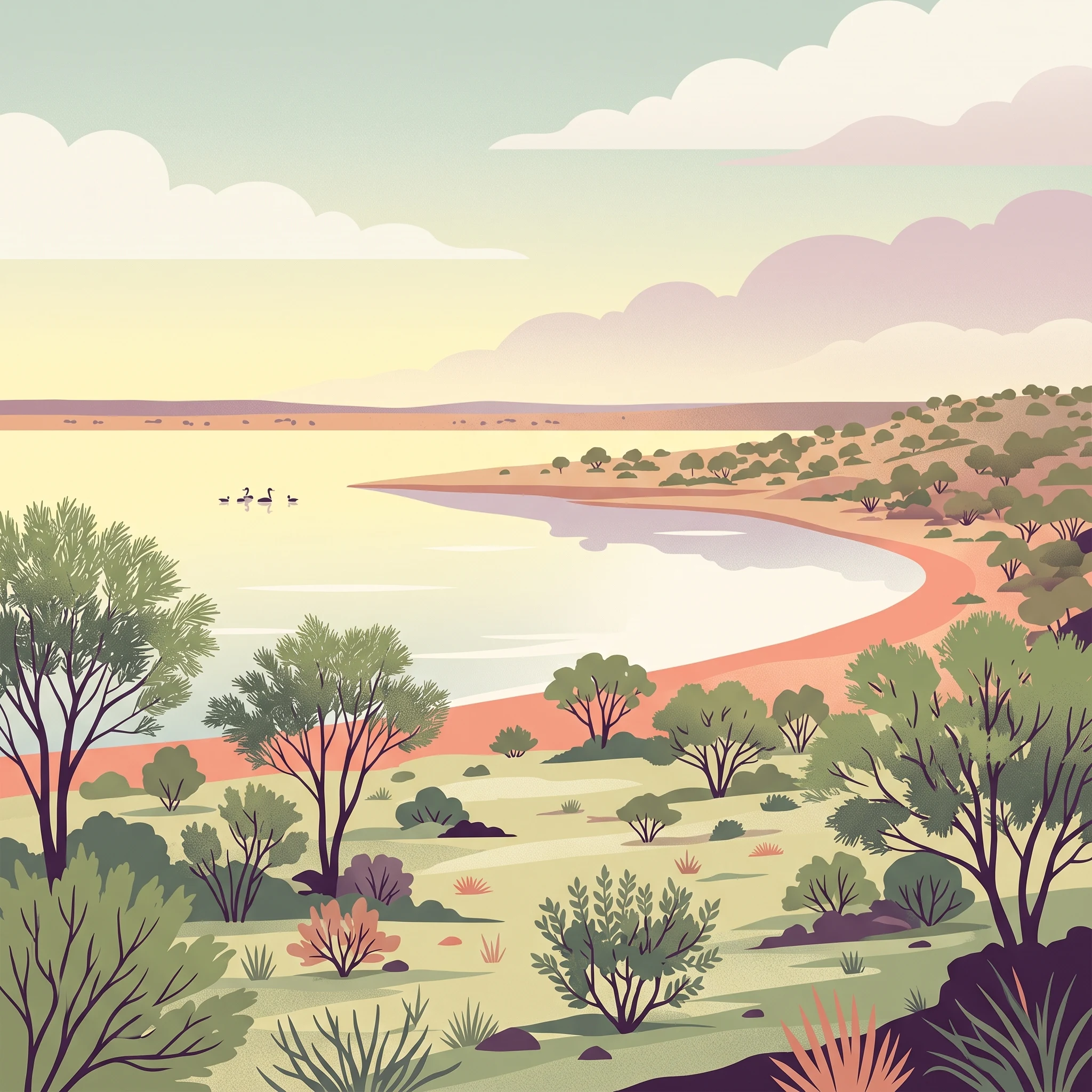
Currawinya National Park represents one of Queensland's most significant protected areas for arid-zone biodiversity and wetland conservation. The park's landscape is dominated by the mulga lands bioregion, featuring rolling sandy plains with sparse vegetation dominated by Acacia species and tussock grasses. The Paroo River, an ephemeral drainage system that only flows during periods of adequate rainfall, passes through the park and fills the terminal lakes that give the region its ecological character. Lakes Numalla and Wyara form the heart of the park's wetland system, with Lake Numalla maintaining freshwater conditions while Lake Wyara becomes increasingly saline as water evaporates. These contrasting water regimes support different ecological communities and provide diverse habitat conditions for wildlife. The park's location in the northern reaches of the Murray-Darling Basin places it at the intersection of several ecological zones, contributing to its species diversity.

Location
Australia
Park type
National park
Established
1991
Area
1,513 km²
Currawinya National Park details
1 guide

Compare available reference materials and visitor timing topics for outback exploration.

Published Currawinya National Park Guides and Topic References

Access the complete collection of published reference materials covering specific Currawinya National Park visitor timing topics. Each detailed resource addresses distinct planning questions regarding seasonal weather patterns and semi-arid climate preparation.
MoriAtlas Explorer

Continue exploring Currawinya National Park's protected landscape and geography

Delve deeper into the mapped boundaries, regional context, and unique arid-zone ecosystems of Currawinya National Park. Understanding its position within Queensland's geography and its role as a vital wetland system enhances your appreciation for this significant protected area. Continue your atlas exploration to uncover the full geographic and conservation significance of this unique Australian national park.

Global natural geography