
Why Delaware Water Gap National Recreation Area stands out
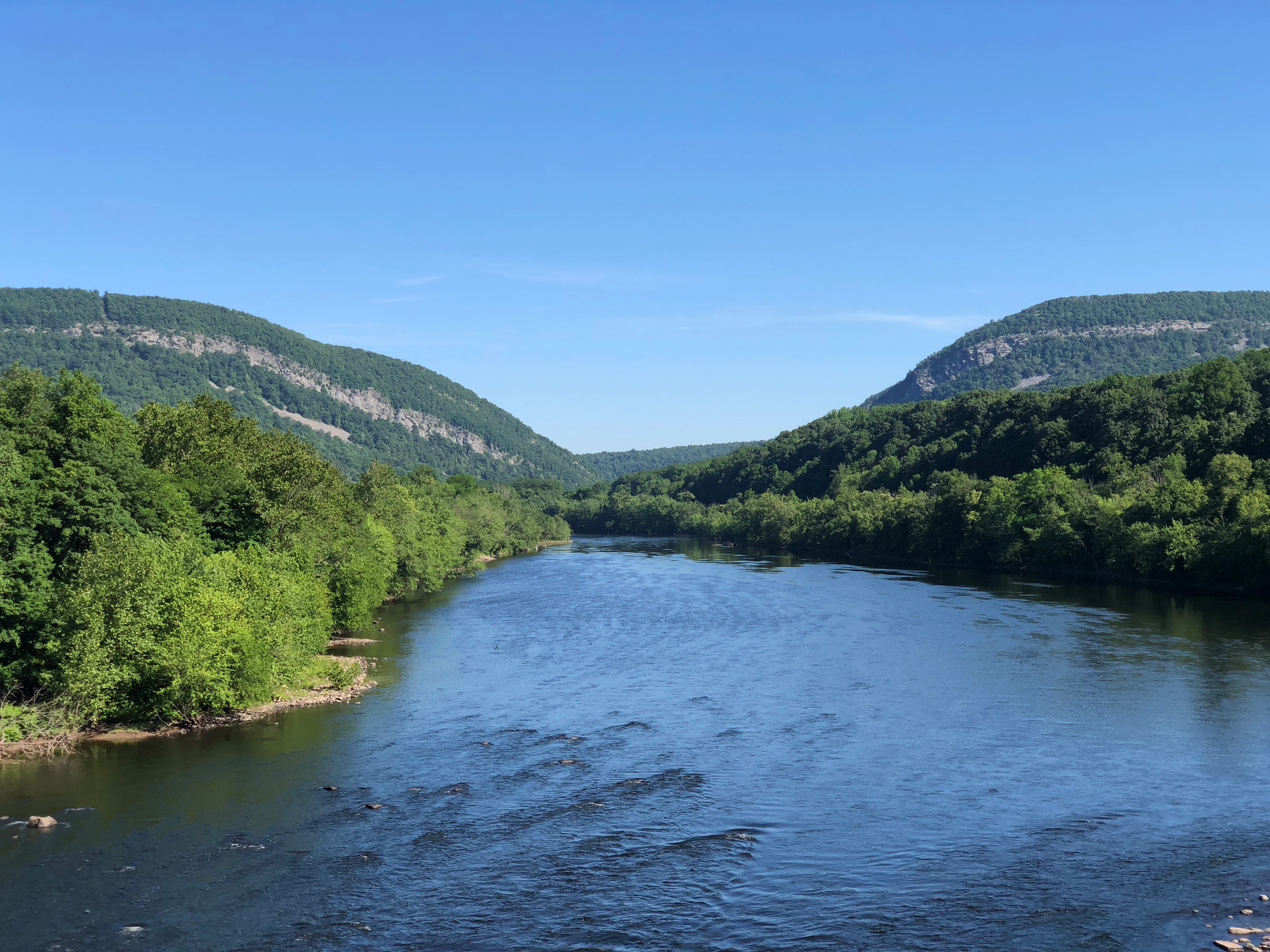
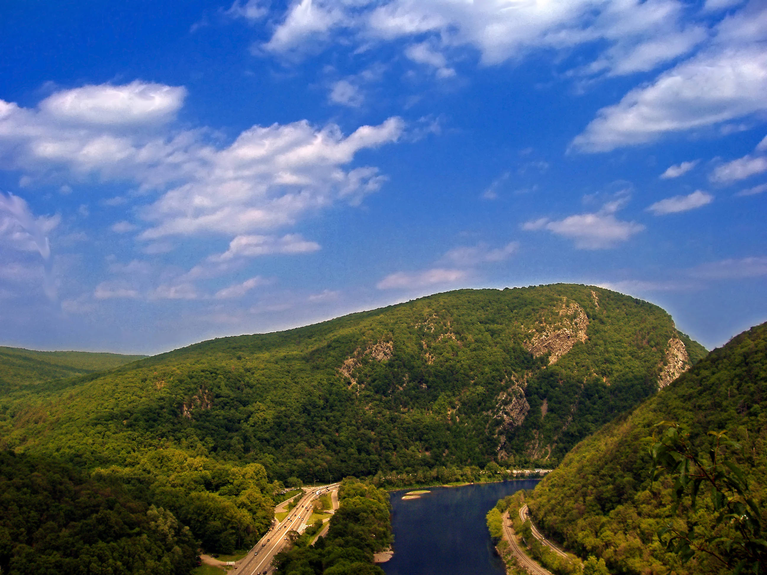
The recreation area is best known for the Delaware Water Gap itself, the narrow mountain pass where the Delaware River cuts between Mount Minsi on Blue Mountain in Pennsylvania and Mount Tammany on Kittatinny Mountain in New Jersey. The dramatic cliffs and tight river passage define both the scenic identity of the area and much of its history as a travel corridor. It is also recognized for its long stretch of the Delaware River as a recreational waterway, its concentrations of waterfalls along the gorge, and its layered cultural landscape. The Appalachian Trail, Minisink archaeological sites, and early Dutch and Huguenot colonial settlements together give the area a strong identity beyond its outdoor recreation offerings.
Delaware Water Gap National Recreation Area history and protected-area timeline
The Minisink region that today forms the core of the recreation area has a long pre-federal history. At the time of European contact the area was inhabited by the Munsee, the northern branch of the Lenape, whose presence in the Delaware River valley long predated European arrival. In the late seventeenth and early eighteenth centuries the first European settlers began arriving: Dutch and French Huguenot families moving inland from the Hudson River Valley, establishing farms, mills, and small communities along the river and its tributaries. The name Minisink itself comes from the Munsee, preserved by the Dutch colonists who adapted it into their regional vocabulary.
The modern recreation area owes its existence to a controversial mid-twentieth-century project. After devastating back-to-back hurricane-driven floods in August 1955, the U.S. Army Corps of Engineers proposed the Tocks Island Dam, which would have created a roughly 37-mile-long reservoir more than 100 feet deep between Pennsylvania and New Jersey. Beginning in 1960, federal authorities used eminent domain to acquire more than 15,000 people worth of land and thousands of dwellings along the river, displacing entire communities and erasing historic farmsteads, churches, and cemeteries tied to the valley's colonial and Native American past.
Congress authorized the Delaware Water Gap National Recreation Area in 1965 as a companion to the dam, intended to provide recreation lands around the planned reservoir and make the project more politically viable. Opposition from environmental groups, displaced residents, and a geological reassessment that placed the proposed dam near active fault lines ultimately led to the project's cancellation in 1978. Rather than returning the land, the federal government transferred it to the National Park Service, converting what had been acquired for flooding into a permanent protected recreation area.
Since then the area has faced chronic underfunding, with reported deferred maintenance costs that grew well into the hundreds of millions. In 2021, a proposal was introduced to redesignate the recreation area as a full national park, which would make it the first such park in either New Jersey or Pennsylvania. Local environmental organizations have supported the change, citing the potential to improve infrastructure and visitor capacity.
Delaware Water Gap National Recreation Area landscape and geographic character
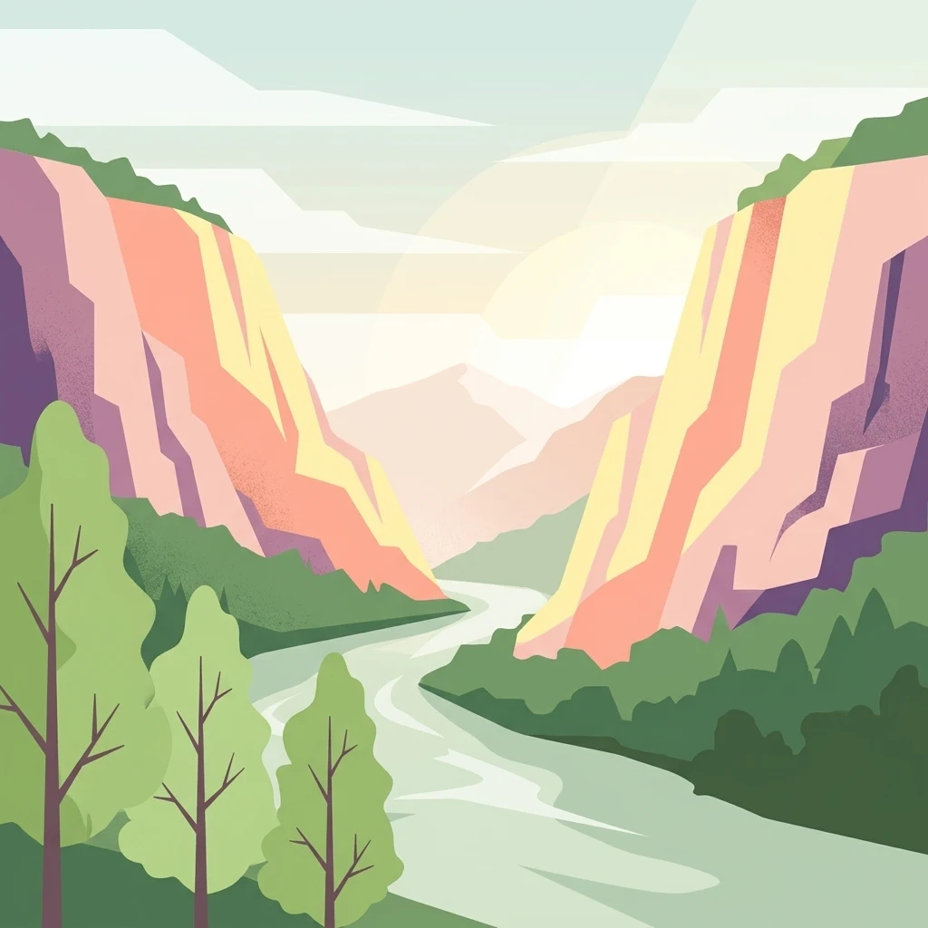
The landscape of the recreation area is defined by the Appalachian Ridge-and-Valley province and by the river that cuts through it. The southern centerpiece is the Delaware Water Gap, where the Delaware River passes between Mount Tammany on Kittatinny Mountain in New Jersey and Mount Minsi on Blue Mountain in Pennsylvania. The cliffs and forested slopes rise sharply on either side of a tight river passage that has long served as a natural travel corridor and is now shared by Interstate 80, a state highway, and a historic railroad.
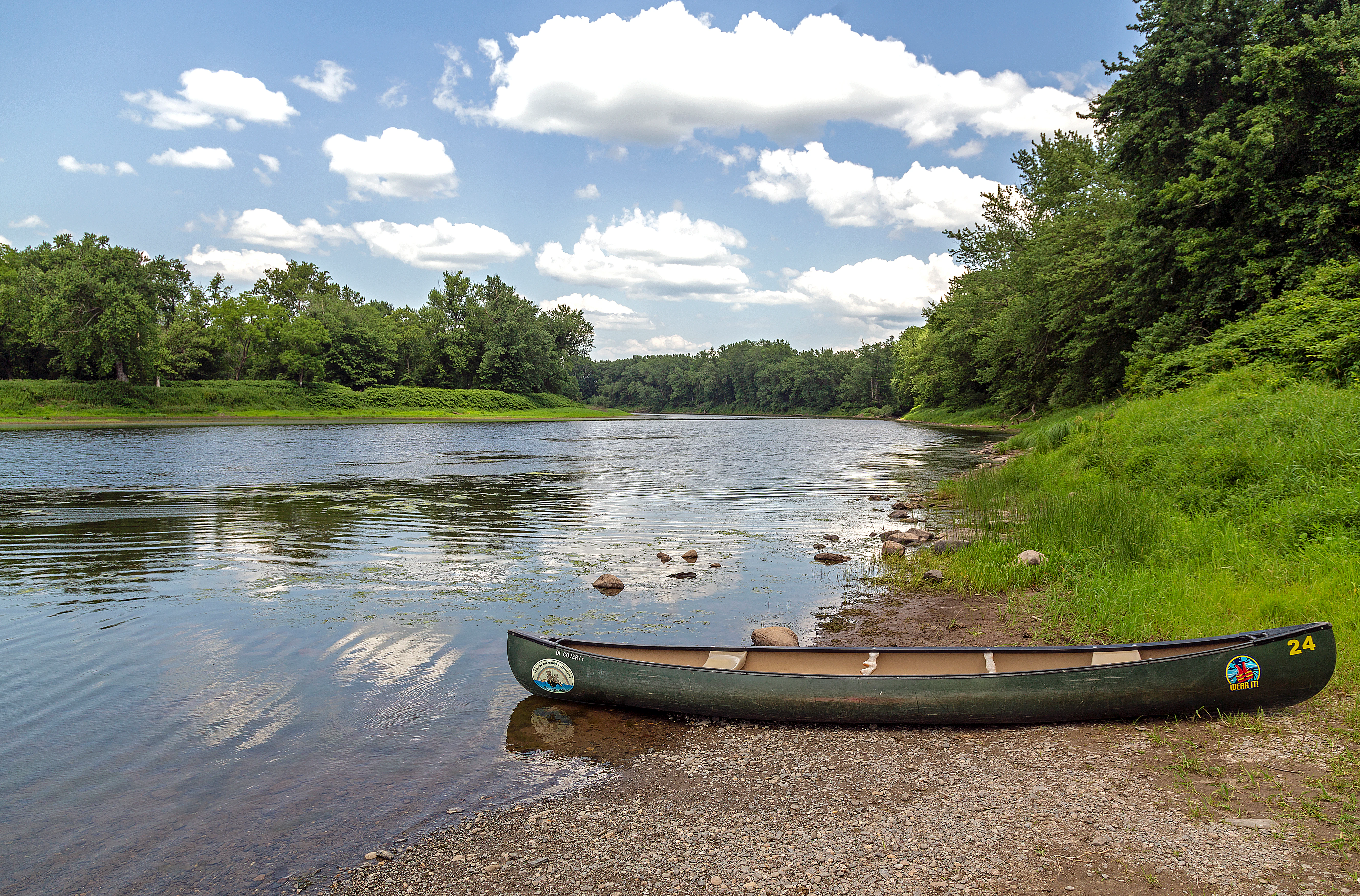
North of the gap the Delaware River traces a long, meandering course through the broader Minisink landscape. Walpack Bend and similar stretches show how the river has shaped broad floodplains, terrace formations, and steep wooded hillsides over countless millennia. Hemlocks, hardwood forests, and exposed bedrock cliffs line the gorge, while scattered farm valleys and country roads give the upper recreation area a quieter, more rural Appalachian character. Cold springs, seasonal flood channels, and relic terraces all reflect how powerfully the river has sculpted this stretch of the Appalachians.
Delaware Water Gap National Recreation Area ecosystems, habitats, and plant life
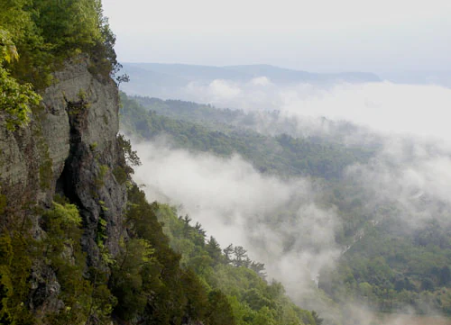
Ecologically, the recreation area covers a transition zone between northern hardwood forests and more southern Appalachian communities. Mixed hardwood ridges give way to hemlock and pine stands in cooler ravines, while the river itself and its tributaries create distinctive riparian habitats. The area lies within the broader Kittatinny Mountains and Ridge-and-Valley Appalachians, so elevation, slope, and exposure produce a patchwork of microclimates supporting varied plant communities, from dry ridgetop forests to moist streamside zones.
The protected corridor runs more than 40 miles along the Delaware River, one of the most ecologically important rivers in the Mid-Atlantic. Its waters, floodplains, tributaries, and uplands together form connected habitat for fish, migratory songbirds, raptors, and mammals. Wetlands and riparian zones along the river also support amphibian and reptile populations, while adjacent uplands host deer, black bear, and other typical Appalachian forest species. The recreation area's size, its continuity from the river up into the ridgelines, and its overlap with state forest lands give it unusually strong ecological connectivity for a recreation-area unit.
Delaware Water Gap National Recreation Area wildlife and species highlights
Wildlife in the recreation area reflects the diversity of its habitats, ranging from river otter, beaver, and native fish species in the Delaware River to white-tailed deer and black bear in the surrounding forests. Bald eagles have returned to the Middle Delaware, where the clean, flowing river supports healthy populations of resident and migratory waterfowl and wading birds. The mix of cliffs, ridges, and forest canopy also makes the area attractive to nesting birds of prey.
The extensive forest cover and broad riparian corridors give the area strong value for both resident and migratory species. Hawks, owls, warblers, and other songbirds move through the ridges and valleys seasonally, and the river corridor is widely recognized for eagle watching and other wildlife observation opportunities. Cold-water tributaries and deep pools shelter wild trout populations, adding to the area's angling significance.
Delaware Water Gap National Recreation Area conservation status and protection priorities
Conservation significance in the recreation area centers on the protection of a long stretch of the Delaware River and its associated Appalachian landscape. The Middle Delaware is shielded by its National Scenic River designation, which is intended to keep the river free-flowing and to protect its outstanding scenic, recreational, and ecological values. The surrounding uplands, including parts of Worthington State Forest and ridge-top forests, add a terrestrial protection layer to that aquatic core.
The history of the area is itself a major conservation story. The Tocks Island Dam project would have flooded the entire 40-mile stretch that is now preserved; the project also displaced more than 15,000 people and led to the demolition of thousands of historic structures. After the project was canceled in 1978, the assembled lands were preserved rather than returned, making the recreation area one of the more unusual examples in the United States of lands acquired for one purpose being redirected to permanent ecological and recreational protection. Ongoing funding challenges have nonetheless left maintenance and habitat restoration needs that continue to shape the area's conservation outlook.
Delaware Water Gap National Recreation Area cultural meaning and human context
The cultural landscape of the recreation area is unusually rich for a mid-sized Appalachian park. The Minisink Archaeological Site preserves evidence of long-occupied Indigenous habitation and is one of the more important prehistoric open-air sites in the northeastern United States. Above and around it, the broader Minisink Valley carries centuries of layered human history tied to the Delaware River corridor.
European settlement began with Dutch and French Huguenot families who moved inland from the Hudson Valley in the late 1600s and early 1700s, founding small farming communities, ferries, mills, and churches whose surviving structures still dot the landscape. Relocated Dutch Reformed churches, springhouses, farmsteads, icehouses, taverns, and rural inns reflect this early colonial period, while later farmsteads and country lanes evoke nineteenth-century rural Appalachian life. The arts community at Peters Valley and historic site complexes such as Millbrook Village extend this cultural identity into the present, linking conservation, craft, and living-history interpretation along the river.
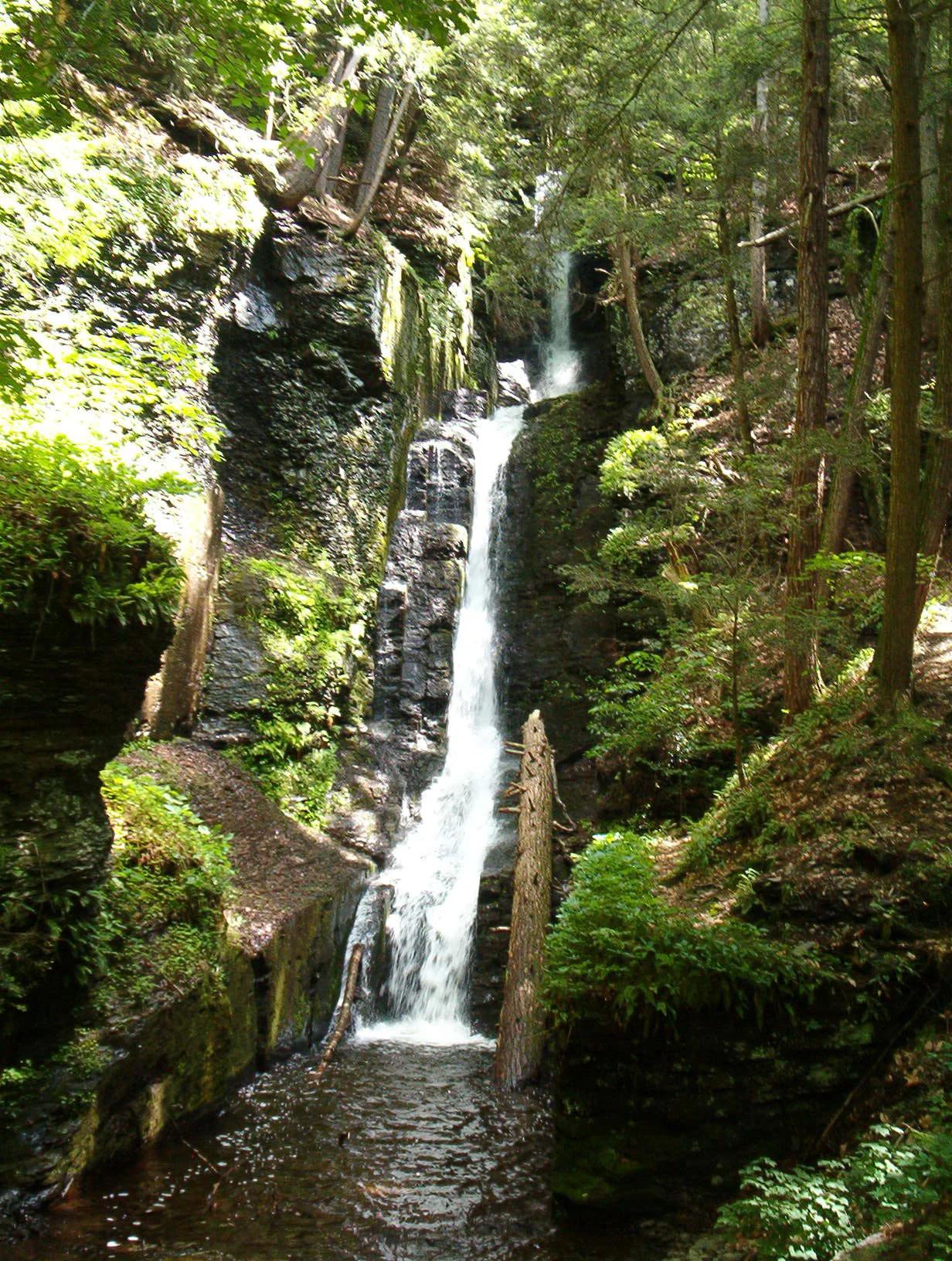
Top sights and standout views in Delaware Water Gap National Recreation Area
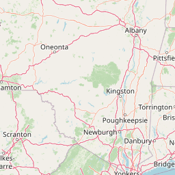
Delaware Water Gap National Recreation Area's identity rests on the dramatic pass where the Delaware River cuts between Mount Tammany and Mount Minsi, and on the long, scenic 40-mile river corridor that reaches north into the Minisink Valley. Along that corridor the recreation area protects waterfalls including Buttermilk Falls and Raymondskill Falls, a working stretch of the Appalachian Trail, Worthington State Forest, and a dense cluster of historic farmsteads, churches, and archaeological sites. The combination of tightly confined gorge scenery, broad upstream meanders, and visible layers of Native American and early colonial history gives the area an unusually varied identity within the National Park System.
Best time to visit Delaware Water Gap National Recreation Area
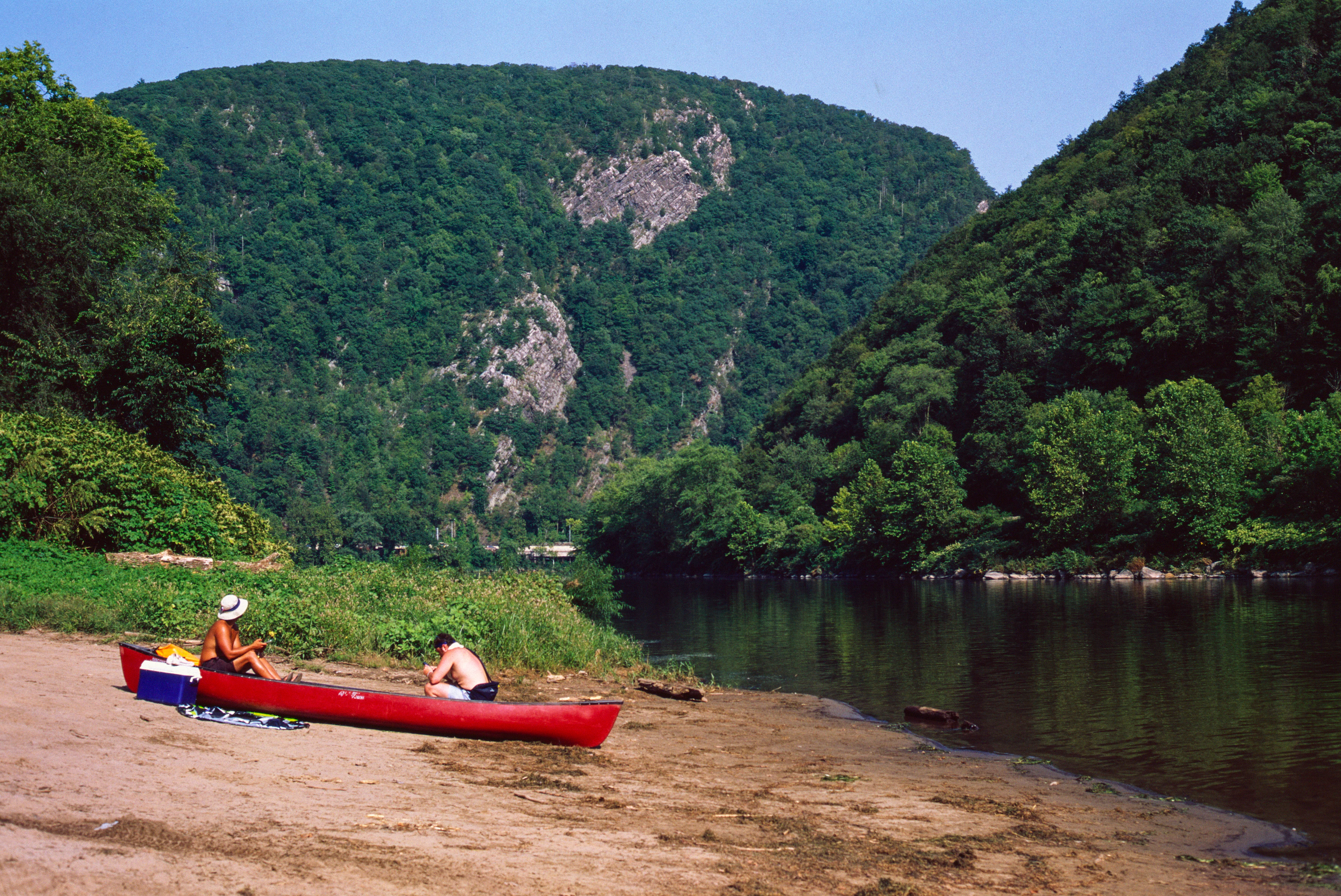
Spring through fall is the dominant visitation season, when warmer weather opens up river activities such as canoeing, kayaking, and rafting, and the waterfalls of the gap and gorge run strongly with snowmelt and seasonal rain. Summer brings the heaviest visitor numbers, along with peak conditions for swimming, hiking, and tubing on the river, but also the most crowded conditions in and around the Water Gap itself. Fall is widely regarded for its foliage along the ridges and river valleys, while winter offers a quieter experience with cross-country skiing, snowshoeing, and frozen or icy waterfalls that change the appearance of the cliffs and cascades.