
Mori Atlas logo
Park guides

Exploratory resources for understanding seasonal conditions and landscape management in Dharawal.

Dharawal National Park Guides and Resource Collection for New South Wales Protected Lands

The available collection of guides for Dharawal National Park provides structured information on seasonal visit timing and regional environmental management. These resources focus on the specific needs of visitors planning for the plateau terrain, gorge ecosystems, and the extensive archaeological heritage of this New South Wales protected area.

Related tags

Australian national parksIndigenous heritage sitesBiodiversity hotspotsUpland swampsSandstone landscapes

Ancient Dharawal lands protecting Sydney's southern watershed

Dharawal National Park

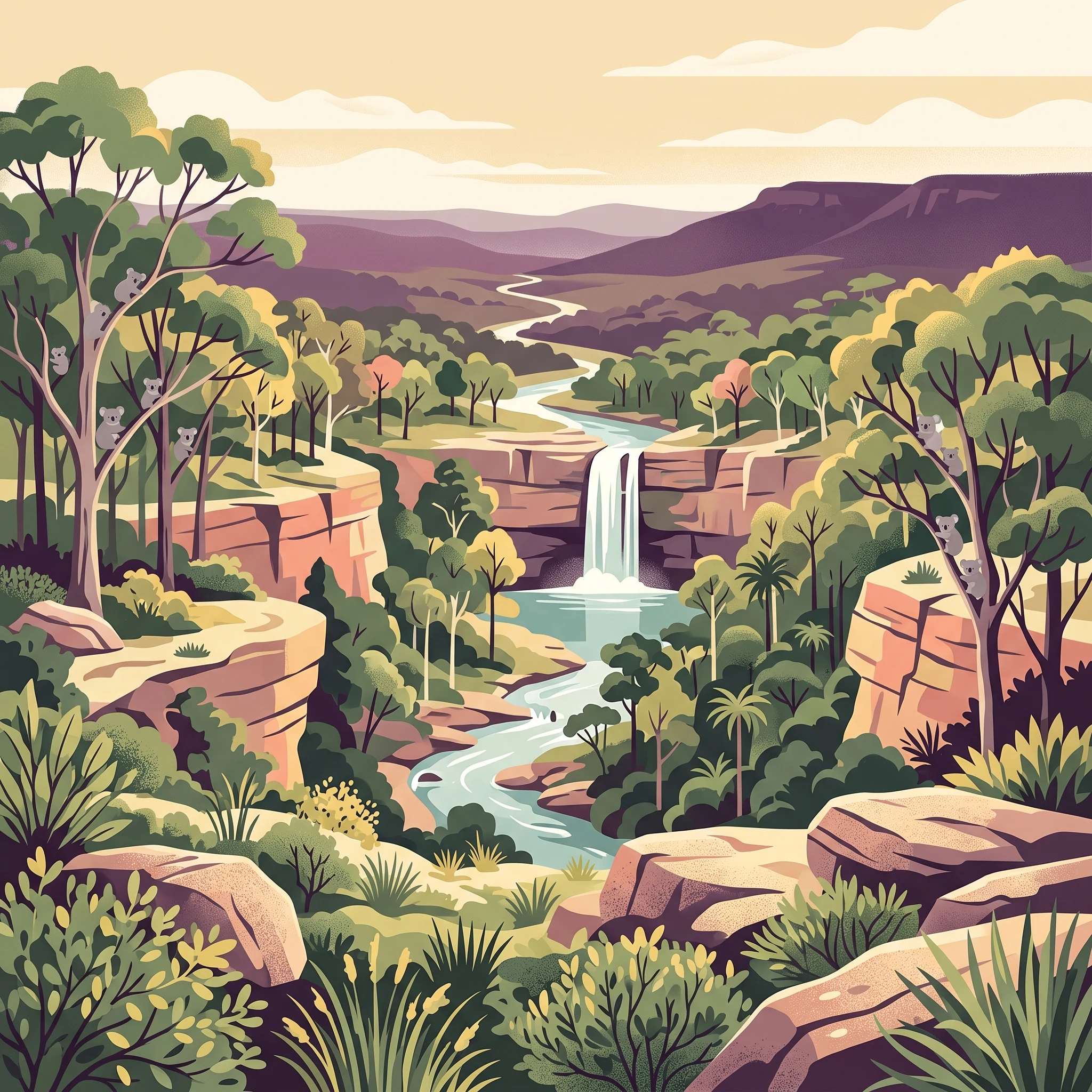
Dharawal National Park represents one of New South Wales most significant recent protected area additions, established in 2012 after decades of advocacy for the protection of the O'Hares Creek Catchment. The park sits at the southern edge of the Sydney Basin on the Woronora Plateau, a landscape shaped by Triassic Hawkesbury Sandstone that creates a rugged terrain of gorges, cliff lines, and sandstone plateaus. The catchments of O'Hares and Stokes Creeks form the headwaters of the Georges River, with the annual average discharge estimated at 40,000 megalitres. The park contains remarkable ecological diversity with 13 distinct vegetation communities, including the dominant sandstone woodland and eastern gully forest, as well as specialized communities such as the endangered O'Hares Creek Shale Forest and the isolated black cypress pine populations of the Woronora Plateau. The park is bounded by rural properties and hobby farms on its eastern and western flanks, while connecting to a broader network of protected areas extending south to Morton National Park and west to the Greater Blue Mountains Area World Heritage Site.

Location
Australia
Park type
National park
Established
2012
Area
65.1 km²
Dharawal National Park protected landscape
MoriAtlas Explorer

Continue Exploring Dharawal National Park's Geography and Protected Landscape

Delve deeper into the geographic specifics and protected landscape character of Dharawal National Park. Understanding its place within New South Wales, its unique geological terrain, and the distribution of its vital ecological communities provides essential context for any map-based exploration. Continue discovering the mapped boundaries and natural significance of this remarkable Australian national park, offering a rich foundation for understanding regional conservation areas.