Mori Atlas logo
Park earthquake history

Reviewing seismic event data by epicentre distance to Northern Territory protected lands

Historical Catalogue of Earthquakes Recorded Near Djukbinj National Park Australia

This geographic collection tracks recorded seismic events that occurred within proximity to the boundaries of Djukbinj National Park. The catalogue provides a structured view of historical earthquake data, including event magnitude, depth, and distance from park territory for comparative review. It serves as an atlas resource for identifying past seismic occurrences relative to this specific Northern Territory landscape.

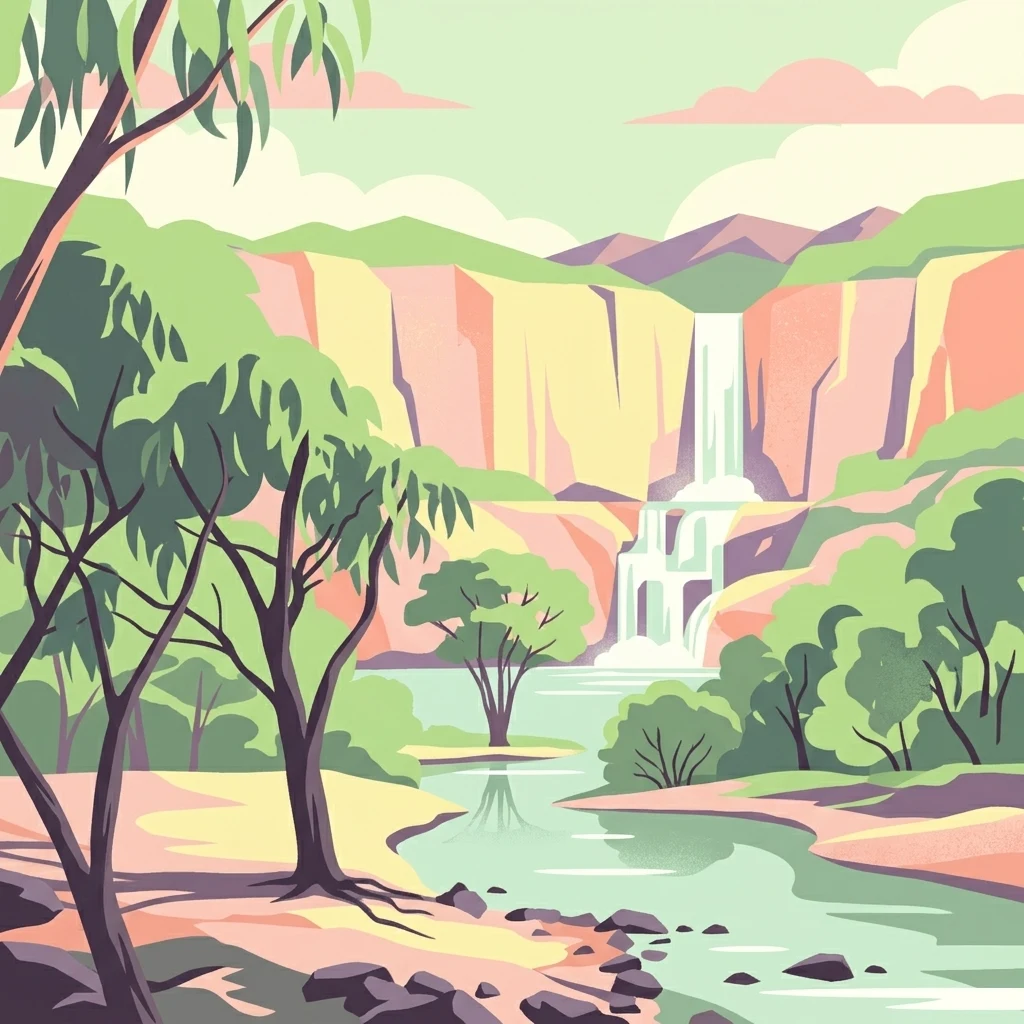
Stylized illustration of a waterfall cascading into a river with trees and cliffs in the background

A coastal savanna park protecting historic Escape Cliffs, site of South Australia's first Northern Territory settlement attempt

Djukbinj National Park

Djukbinj National Park is a protected area in Australia's Northern Territory, situated approximately 66 kilometers east-south-east of Darwin. The park covers an area of 554.41 square kilometers and was officially proclaimed in April 1997, though the land carries a much longer protected history through several former reserves including Escape Cliffs Historical Reserve, Cape Hotham Forest Reserve, Cape Hotham Conservation Reserve, and portions of the Marrakai Conservation Reserve. The park is notable for its joint management arrangement between the Parks and Wildlife Commission of the Northern Territory and the Limilngan-Wulna Aboriginal Corporation, reflecting the deep cultural heritage of the traditional owners whose land claim led to the park's current designation.

Location
Australia
Park type
National park
Established
1997
Area
554.4 km²
Djukbinj National Park Atlas

Review dated earthquake locations around Djukbinj’s cliff, forest and coastal landscapes

Explore earthquake records associated with Djukbinj National Park

Explore earthquake observations around Djukbinj National Park, a 554.41 km² Australian protected area with cliffs, coast, forest and beach landscapes; search by reported date, magnitude, depth, locality and calculated park distance while retaining each source. Relief and water are not inferred, and proximity does not prove boundary occurrence, environmental impact, present risk or future activity.

Sort by
Magnitude
Location

This page describes catalogued earthquakes associated with the park by epicentre location and distance. It does not establish causation, assess current danger, or predict future earthquakes.

No earthquake records match the current filters

Park atlas

Move from Djukbinj National Park earthquake history into wider discovery

Find additional protected parks beyond Djukbinj National Park

The destination links after Djukbinj National Park's earthquake history lead beyond the source page; this 554.41 km² terrestrial Australian park records cliffs, coast, forest, beaches, tropical forest, and coastal habitat, while relief and water fields are unpopulated. The onward profiles remain independent and do not imply matching ecology, designation, location, seismic records, evidence quality, or danger.
Nature reserveNorthern Territory
About 8.1 km away#1 closest

West

Fogg Dam Conservation Reserve: Mapping the Floodplains of the Northern Territory

A critical monsoonal wetland and protected nature reserve.

Fogg Dam Conservation Reserve serves as a primary example of Top End floodplain geography. This detailed look covers the shifting landscape patterns, from expansive wet season inundations to the receding pools of the dry season, providing a clear overview of the reserve's protected environmental boundaries and ecological setting.

Area
37.08 km²
Established
1982
IUCN
V
Visitors
63.2K annual
National parkNorthern Territory
8.2 km away#2 closest

Southeast

Mary River National Park: National Park in Northern Territory, Australia

Mapped protected landscape and regional geographic context.

Mary River National Park is an officially designated national park located in the vast Northern Territory of Australia. This protected area offers rich opportunities for geographic discovery, allowing users to explore its mapped boundaries and understand its significance within the regional landscape. Discover the natural context and atlas positioning of Mary River National Park, contributing to a broader understanding of protected lands in Northern Australia.

Area
1,215.25 km²
Established
1966
IUCN
II
Visitors
336.4K annual
Protected areaNorthern Territory
About 20 km away#3 closest

Northwest

Shoal Bay Coastal Reserve Protected Landscape Mapping and Geographic Context

Coastal wetlands and eucalypt woodland in Northern Territory

Shoal Bay Coastal Reserve protects an expansive coastal fringe characterized by large tidal mud-flats and surrounding saline wetlands. This Northern Territory site offers a complex landscape where monsoon vine forests and woodland-covered uplands meet tidal substrates, providing significant habitat for migratory waterbirds.

Area
123 km²
Established
2000
IUCN
VI
Relief
Lowland
Wildlife reserveNorthern Territory
About 20 km away#4 closest

West

Black Jungle Conservation Reserve: Map, Geography, and Protected Landscape Context

Protected tropical savanna and floodplain wetlands in Northern Territory

Situated in the Northern Territory, Black Jungle Conservation Reserve preserves an essential link within the Adelaide River Coastal Floodplain. This wildlife reserve features rare spring-fed monsoon rainforests set against a backdrop of open eucalypt savanna, providing a protected sanctuary for internationally significant waterbird populations and saltwater crocodiles within a complex mosaic of tidal and seasonal wetlands.

Area
49.51 km²
Established
1986
IUCN
VI
Relief
Lowland
Protected landscapeNorthern Territory
About 24 km away#5 closest

Northwest

Vernon Islands Conservation Reserve: Northern Territory Coastal Protected Landscape and Island Geography

Tropical reef and island system in the Northern Territory

Vernon Islands Conservation Reserve stands as a protected landscape encompassing three distinct islands and the exposed Knight Reef. Located in the tropical waters near Darwin, this area defines a crucial marine and intertidal seascape within the Northern Territory, shaped by complex tidal dynamics and significant Aboriginal land tenure history.

Area
81.58 km²
Established
1974
IUCN
V
Relief
Lowland
Wildlife reserveNorthern Territory
About 25 km away#6 closest

Northwest

Howard Springs Hunting Reserve: Mapped Protected Landscape and Regional Geography

Wildlife reserve terrain within the Howard Sand Plains

Howard Springs Hunting Reserve is a specifically managed wildlife reserve in Australia's Northern Territory, positioned within the Howard Sand Plains. This area serves as a vital component of a larger interconnected landscape that flows from inland wetlands toward the Shoal Bay coastal environment. Providing a unique look at sustainable-use protected lands, this resource offers geographic insights into how the reserve interacts with adjacent conservation corridors in the Darwin region.

Area
16.05 km²
Established
1984
IUCN
VI
Relief
Lowland
Nature reserveNorthern Territory
About 28 km away#7 closest

West

Howard Springs Nature Park: Protected Landscape Maps and Regional Geography in Northern Territory

Detailed overview of tropical springs and monsoon forest terrain.

Howard Springs Nature Park offers a concentrated look at the unique Top End landscape through its permanent freshwater springs and bordering paperbark wetlands. Located near Darwin, this reserve provides essential habitat for waterfowl and serves as a primary example of protected inland spring systems within the Australian Northern Territory geography.

Area
2.86 km²
Established
1952
IUCN
V
Relief
Lowland
A soft watercolor painting showing a pinkish lagoon surrounded by green vegetation and rolling hills in the distance.
Wildlife reserveNorthern Territory
About 38 km away#8 closest

West

Knuckey Lagoons Conservation Reserve: Geographic Profile and Protected Wetland Map

Tropical lagoon habitat within the Northern Territory landscape

This wildlife reserve preserves an essential tropical lagoon and wetland environment on the suburban edge of Darwin. Established in 1966, it maintains a fragment of the seasonal coastal plain character within a heavily developed corridor, serving as an important case for localized habitat management in the Northern Territory.

Area
1.25 km²
Established
1966
IUCN
IV
Relief
Lowland
MoriAtlas Explorer

Continue Djukbinj National Park Exploration: Mapped Boundaries and Geographic Details

Further your understanding of Djukbinj National Park by continuing into its detailed geographic and protected-area context. Examine how its mapped boundaries define the protected landscape and discover its significance within the natural terrain of Northern Territory. This deeper dive into the park's atlas information provides essential context for understanding its unique place in Australia's protected lands.

Global natural geography