
A comprehensive index of river networks, lake basins, and forest landscapes protected in this region
Named Natural Features and Glacial Topography within Drawieński Park Narodowy in Poland
This geographic collection documents the diverse natural features found throughout Drawieński Park Narodowy. Users can examine a structured index of physical landmarks, including postglacial lake basins, meandering river valleys, and extensive lowland forest tracts. By categorizing these features, the resource clarifies the complex hydrology and terrain that define the ecological identity of this protected Polish landscape.
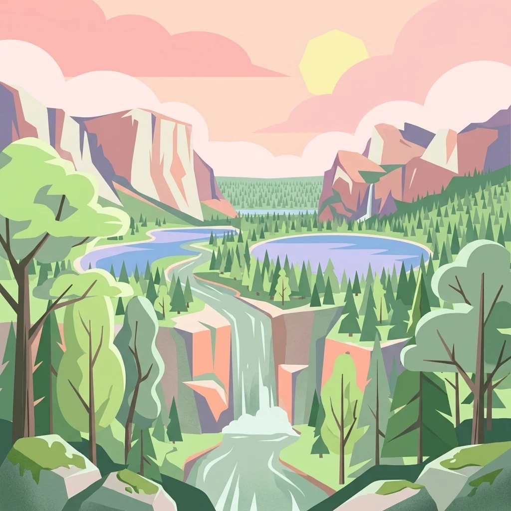
Connect Drawieński Park Narodowy records with forest, lakes, and rivers
Forested lowland, lake, and river records across Drawieński Park Narodowy
Mapped water basins across the Równina Drawska landscape.
Lakes
Explore the collection of natural lake basins characterizing the hydrological profile of Drawieński Park Narodowy. The selection includes varied water bodies, from deep basins anchored in glacial deposits to darkly stained humic pools, illustrating the interplay between protected forest stands and the park's diverse inland water systems.
Hydrological features within a protected Polish landscape
Rivers
Access a structured inventory of river features associated with Drawieński Park Narodowy. This data highlights the meandering paths of major watercourses that cut through local glacial deposits, forming the unique valley systems and riparian zones characteristic of this northwestern Polish region.
Begin Exploring the Mapped Landscape of Drawieński Park Narodowy
Access a structured analysis of the protected environment within Drawieński Park Narodowy. MoriAtlas provides a clear view into the glacial geography, river networks, and forest patterns that define this significant area of western Poland, helping you understand its unique natural setting and regional context.