
Mori Atlas logo
Nature reserveDreibächel

A study in traditional plenterwald forest management and mountain hydrology in Saxony

Dreibächel Nature Reserve: Exploring the Oldest Spruce Stands and Watersheds of the Westerzgebirge

Dreibächel Nature Reserve protects a vital 14.72 hectare forested mountainside within the Westerzgebirge, the western reach of Germany's Ore Mountains. This protected landscape safeguards the oldest spruce stand in Saxony, preserved through centuries of selective plenterwald forestry. The reserve is uniquely defined by the confluence of the Diebsbach, Markersbach, and Cunitzbach streams, which shape the moist, shaded mountain terrain and support this enduring coniferous ecosystem.

spruce forestold-growth forestplenterwaldWesterzgebirgeOre MountainsSaxony
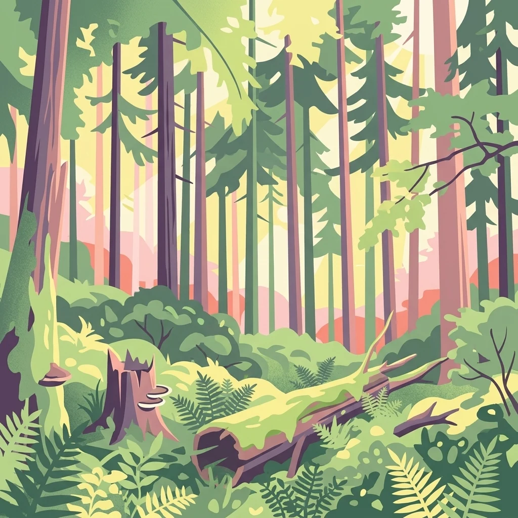
A stylized digital illustration of a dense forest featuring tall spruce trees, a mossy fallen log, a tree stump with shelf mushrooms, and ferns on the forest floor.

Dreibächel

Nature reserve

Park overview

Structured park overview, official facts, and landscape profile for Dreibächel Nature Reserve

Dreibächel Nature Reserve park facts, protected area profile, and essential visitor context

Review the core facts for Dreibächel Nature Reserve, including designation, size, terrain, visitor scale, habitats, and operating context in one park-focused overview.

About Dreibächel Nature Reserve

Dreibächel is a compact but unusually storied nature reserve tucked into the forested slopes of the Westerzgebirge, the western reaches of the Ore Mountains along the Saxon side of the historic Bohemian-Saxon borderlands. Although the protected area covers only about 14.72 hectares, it carries an outsized reputation among foresters and ecologists in Germany because its stands include the oldest continuously documented spruce forest in the Free State of Saxony.

Geographically, the reserve sits on the mountain known as the Schneehübel, on terrain that belongs to the Vogtland natural region. Administratively, it straddles two modern districts: parts of the slopes fall within the Vogtlandkreis near Morgenröthe-Rautenkranz, and parts lie within the Erzgebirgskreis towards Carlsfeld. This position on or near the old Vogtland-Erzgebirge boundary gives the site a transitional character, blending elements of the gentler western uplands with the higher, colder air of the inner Ore Mountains.

The defining feature of Dreibächel, however, is not its size or its setting alone but the long continuity of its spruce forest. Throughout its protected history, the woodland has been managed as a plenterwald, a selective, uneven-aged system in which foresters remove individual trees when they reach desired dimensions while leaving the rest of the stand to continue growing. The result is a forest where very old spruces stand shoulder to shoulder with younger trees, seedlings, and natural regeneration, a structure now rare in central European forestry.

Education and interpretation form an important part of the reserve's role. A roughly 800-metre interpretive trail runs through a clearing and past the most informative specimens, with panels maintained by Sachsenforst, the state forest agency. The trail explains not just the age of the forest but also concepts like deadwood, windthrow, natural regeneration, and the distinction between plantation forestry and the older plenterwald tradition that shaped this landscape.

Quick facts and research context for Dreibächel Nature Reserve

Dreibächel covers about 0.15 square kilometres in the Westerzgebirge region of Saxony and has been legally protected as a Naturschutzgebiet since 30 March 1961. It is classified under IUCN Category IV as a Habitat or Species Management Area, reflecting its focus on maintaining a specific forest type rather than full wilderness.

The reserve surrounds the upper course of the Diebsbach and Markersbach before they are joined by the Cunitzbach on the way to the Große Pyra. Its principal conservation value lies in a long-established spruce forest that is documented as the oldest spruce stand anywhere in Saxony, shaped by centuries of plenterwald management rather than clearcut cycles.

Protection and recognition

Review documented conservation metrics and official registry records for Dreibächel.

Dreibächel Protection Status and International Recognition Data

Examine the verified protection status and administrative designation history recorded for Dreibächel. Review the structured international registry data and baseline conservation metrics available for this protected area.

Protection details

WDPA ID
162796
Park context

Deeper park guide and search-rich context for Dreibächel Nature Reserve

Dreibächel Nature Reserve history, landscape, wildlife, and travel context

Explore Dreibächel Nature Reserve through its history, landscape character, ecosystems, wildlife, conservation priorities, cultural context, and seasonal travel timing in a structured park guide built for atlas discovery and search intent.

Why Dreibächel Nature Reserve stands out

Dreibächel is best known for protecting the oldest spruce stand in Saxony, a forest whose exceptional age is the direct outcome of traditional selective management. The plenterwald approach, which continuously harvests individual mature trees while leaving younger generations to grow, has produced a multi-layered canopy and a stand structure very different from the even-aged plantations common across the wider Ore Mountains. Visitors come to see towering, long-lived spruces growing alongside silver fir, decomposing deadwood, windthrown stems, and the thick tree disks displayed along the interpretive trail. The reserve is effectively a living archive of how this corner of the Westerzgebirge was tended before modern industrial forestry.
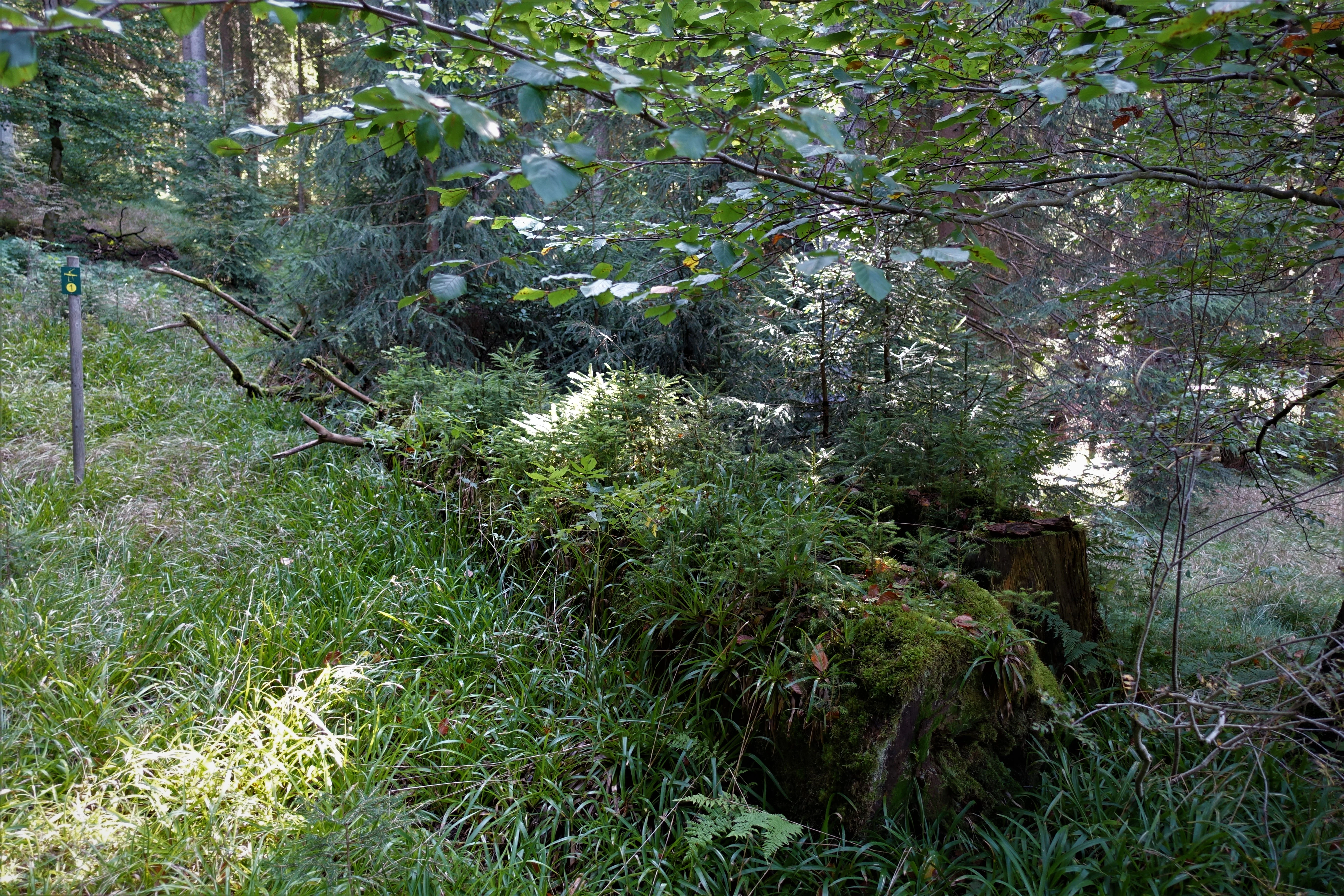
A large fallen tree trunk decaying on the forest floor, covered in moss and ferns, surrounded by lush green vegetation in a dense spruce forest.
A fallen tree trunk in the Dreibächel nature reserve serves as a nursery for new forest growth.

Dreibächel Nature Reserve history and protected-area timeline

Dreibächel's modern conservation history began on 30 March 1961, when the area was formally designated as a Naturschutzgebiet under Saxon nature protection law. The designation was motivated by the recognition that the spruce stands on the Schneehübel had been managed under the traditional plenterwald system for an unusually long period, producing trees of an age rarely seen elsewhere in the state.

The plenterwald approach itself, however, long predates the reserve's official founding. Selective harvesting of mature trees while preserving younger cohorts has deep roots in the forestry tradition of the Ore Mountains and contributed to the structural character of the stand that prompted protection in the first place. The 1961 designation made it possible to maintain this management approach explicitly for conservation, scientific, and educational purposes rather than purely for timber yield.

In the decades since, Dreibächel has become a reference site for understanding historical Saxon forest management. It is documented in regional conservation literature, including the volume "Naturschutzgebiete in Sachsen" published by the Saxon State Ministry for the Environment and Agriculture in 2008, which describes the reserve as entry C49 in the official list of Saxony's protected areas. Today the site continues to be overseen by Sachsenforst and remains an important outdoor reference point for visitors, students, and foresters interested in long-lived spruce forests.

Dreibächel Nature Reserve landscape and geographic character

The landscape of Dreibächel is shaped by the rolling, forested ridges of the Westerzgebirge. The reserve occupies the slopes and hollows of the Schneehübel, a mountain whose flanks descend toward the headwaters of several small streams. Elevations in this part of Saxony reach well into the highland range typical of the western Ore Mountains, and the terrain is marked by gentle to moderately steep slopes broken by shallow valleys where water collects and flows downward.

The watershed structure is central to the visual character of the reserve. The Diebsbach and the Markersbach meet within the protected area, and a short distance downstream the Cunitzbach flows in as well, creating a small fan of converging valleys that gives the site its name: Dreibächel, literally "three little brooks." These streams and the moist, shaded valleys around them create the microclimates that have allowed the spruce stand to persist for so long.

Above and between the streams, the land is cloaked in dense coniferous forest. Small clearings along the interpretive trail offer views into the stand and across the broader wooded ridges of the Westerzgebirge, but there are no open vistas, alpine rock, or large bodies of water within the reserve itself. The character is overwhelmingly that of a closed, mature mountain forest streaked with deadwood, windthrown trunks, and the occasional standing veteran tree.
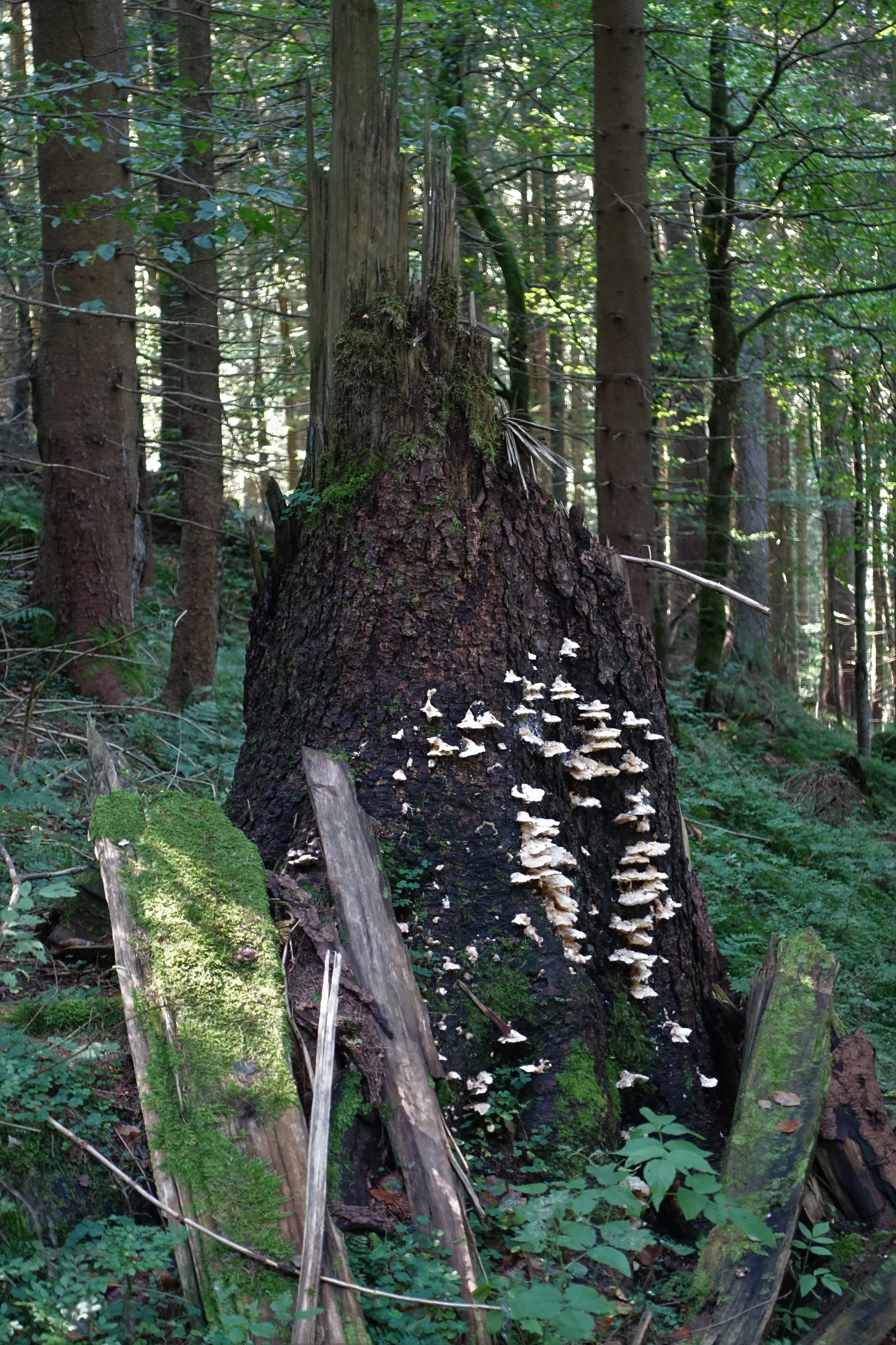
A large broken tree stump in a dense forest, covered in white shelf fungi and surrounded by mossy logs.
Natural forest regeneration occurring on a windthrown spruce stump in Dreibächel.

Dreibächel Nature Reserve ecosystems, habitats, and plant life

Ecologically, Dreibächel is a montane coniferous forest reserve with strong ties to the historical vegetation of the upper Ore Mountains. The dominant species is spruce, Picea abies, but the stand is not a monoculture in the modern plantation sense. Silver fir, Abies alba, appears in the canopy, and the multi-aged structure of the stand means that seedlings, saplings, pole-sized trees, mature trees, and ancient veterans all coexist in the same hectare.

The plenterwald management system that shaped Dreibächel is itself an ecological process. By selectively removing individual trees, foresters historically maintained a forest with continuous canopy cover, abundant regeneration, and a steady supply of coarse woody debris. As a result, the reserve holds significant volumes of standing and fallen deadwood, a habitat feature that has become scarce across much of central European commercial forestry.

Moist conditions near the converging stream channels support mosses, liverworts, ferns, and fungi typical of older central European spruce-fir forests. The closed canopy and persistent moisture make the understorey relatively sparse but rich in specialised woodland species, while the clearings along the trail show how light penetrates to the forest floor when individual trees are removed.
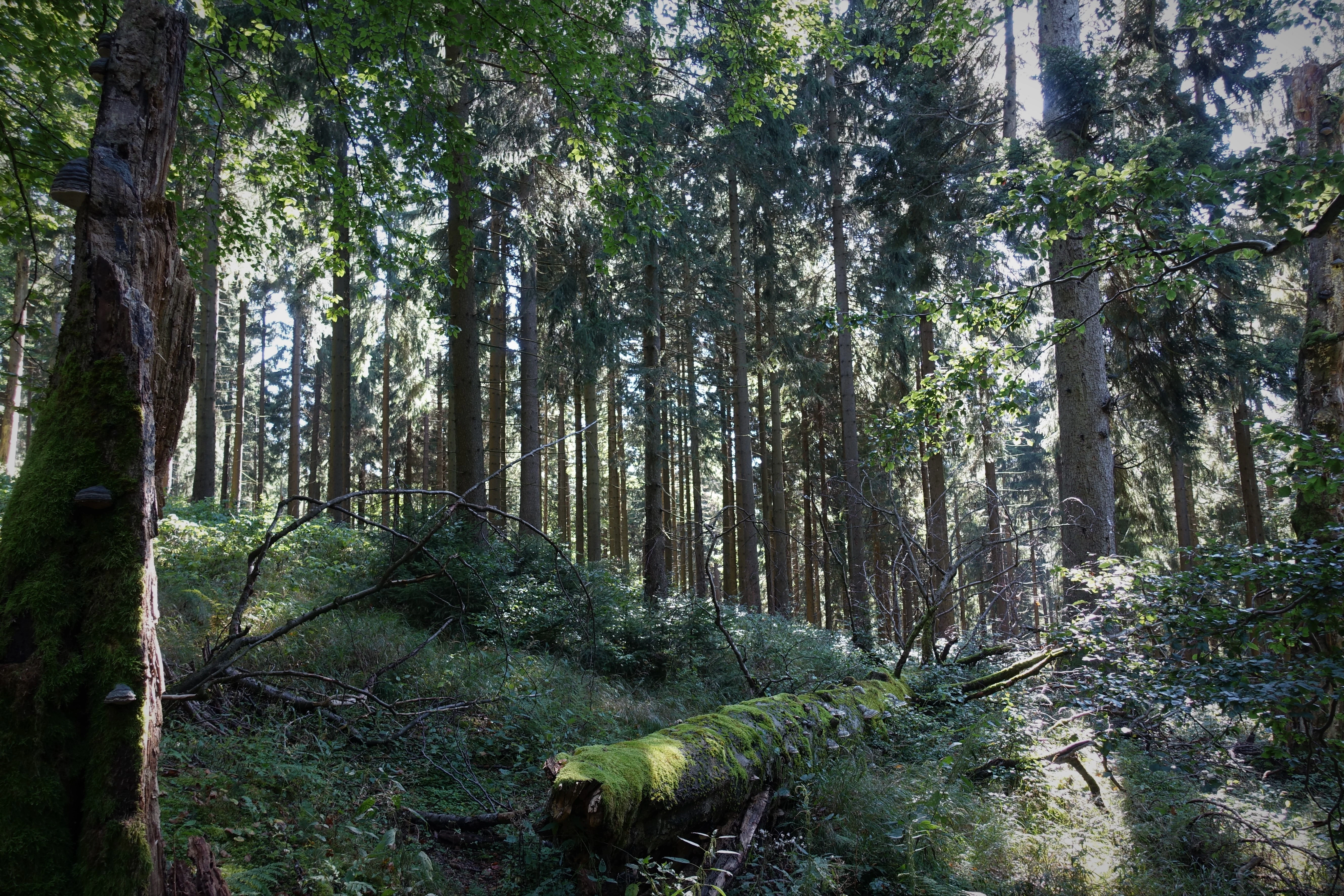
A dense spruce forest with tall, slender tree trunks and a moss-covered log lying on the forest floor in the foreground.
The old-growth spruce forest at Dreibächel, featuring moss-covered fallen logs and dense stands of trees.

Dreibächel Nature Reserve wildlife and species highlights

Wildlife information in available sources is limited, and the reserve's significance is primarily botanical and forest-structural rather than faunal. The closed, shaded, fairly uniform coniferous environment supports the wildlife communities typical of mature central European spruce forests, where species associated with deadwood and old-growth conditions tend to be most prominent.

Birdlife in such stands typically includes woodland species that favour dense canopy and standing dead trees; the surrounding broader landscape of the Westerzgebirge also includes moorland and mire habitats to which additional bird species are attracted. However, the source material does not provide a documented species list for Dreibächel itself, so detailed wildlife claims would not be appropriate.
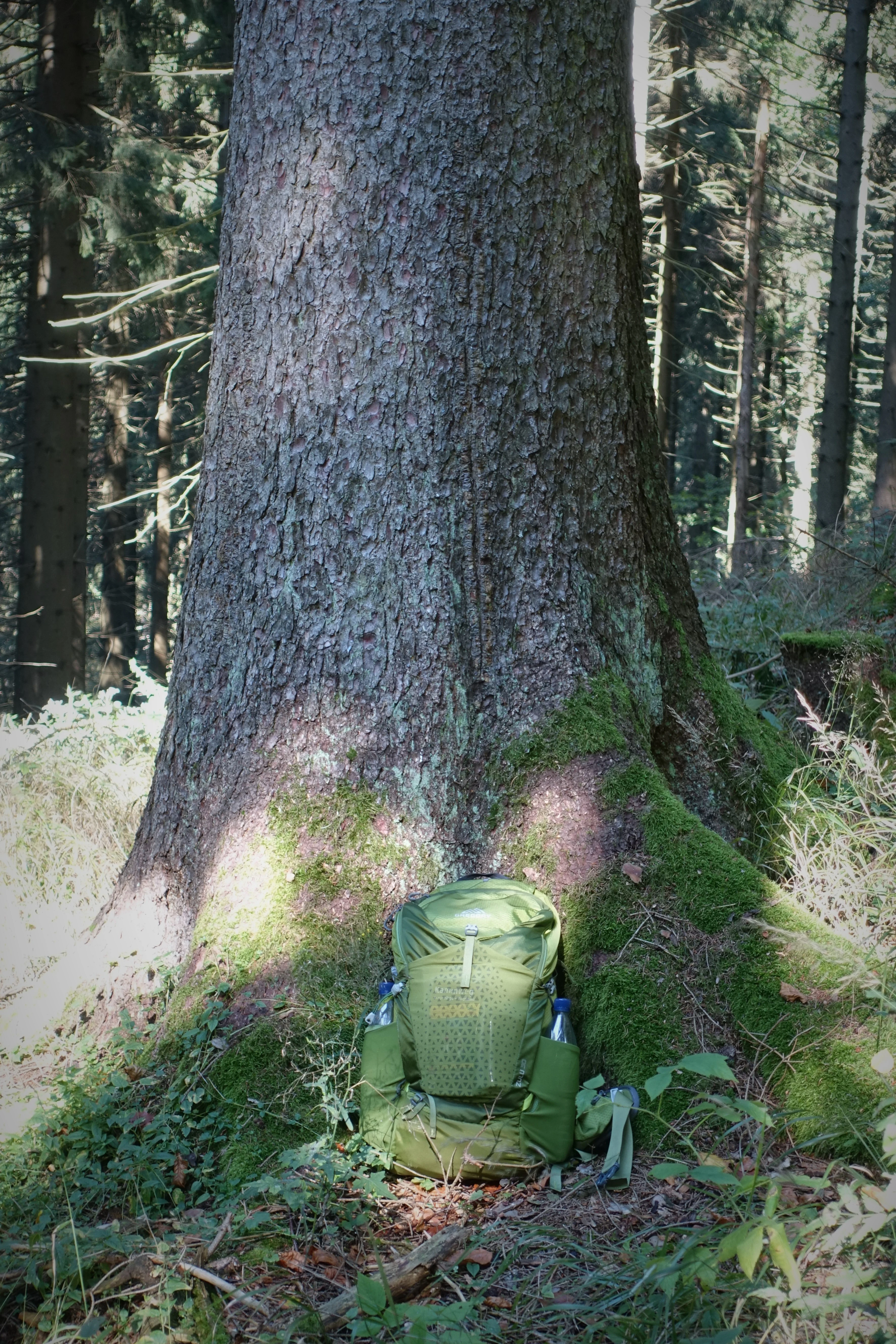
A large, mature spruce tree trunk with thick, textured bark, covered in moss at its base, with a green hiking backpack sitting in front of it in a forest.
A hiking backpack placed at the base of a large spruce tree, highlighting the significant scale of the forest stand in Dreibächel.

Dreibächel Nature Reserve conservation status and protection priorities

Dreibächel is classified as IUCN Category IV, a Habitat or Species Management Area, reflecting a conservation approach targeted at maintaining a specific habitat type: the multi-aged, continuously managed spruce forest of the upper Westerzgebirge. Rather than setting the land aside as untouched wilderness, the reserve enshrines a working forest model that itself produces conservation value.

The principal conservation significance of the site is the preservation of ancient spruce trees and the stand structure associated with centuries of plenterwald management. This includes abundant deadwood, varied age classes, natural regeneration, and the retention of silver fir alongside spruce. Such features are now rare in commercial forests, where even-aged clearcut cycles dominate, and they support forest interior conditions that are themselves a conservation goal.

By maintaining a long-established forest type and an associated management tradition, Dreibächel also serves as a reference site for applied conservation in Saxony. It complements newer wilderness-oriented reserves by showing how productive forestry and habitat continuity can sometimes reinforce each other, and it provides a baseline against which changes in surrounding forests can be measured.

Dreibächel Nature Reserve cultural meaning and human context

The cultural dimension of Dreibächel is rooted in the long forestry tradition of the Ore Mountains rather than in buildings, settlements, or folklore. The plenterwald approach that shapes the reserve is part of a regional heritage of careful, selective timber harvesting that has been practised in the Saxon Erzgebirge and Vogtland for generations.

The interpretive trail, the panels maintained by Sachsenforst, and the inclusion of Dreibächel in regional nature conservation guides reflect a modern effort to transmit this heritage to the public. The reserve is less a site of dramatic cultural landmarks than a place where regional identity, traditional land use, and contemporary conservation intersect on a small, easily walked mountainside.
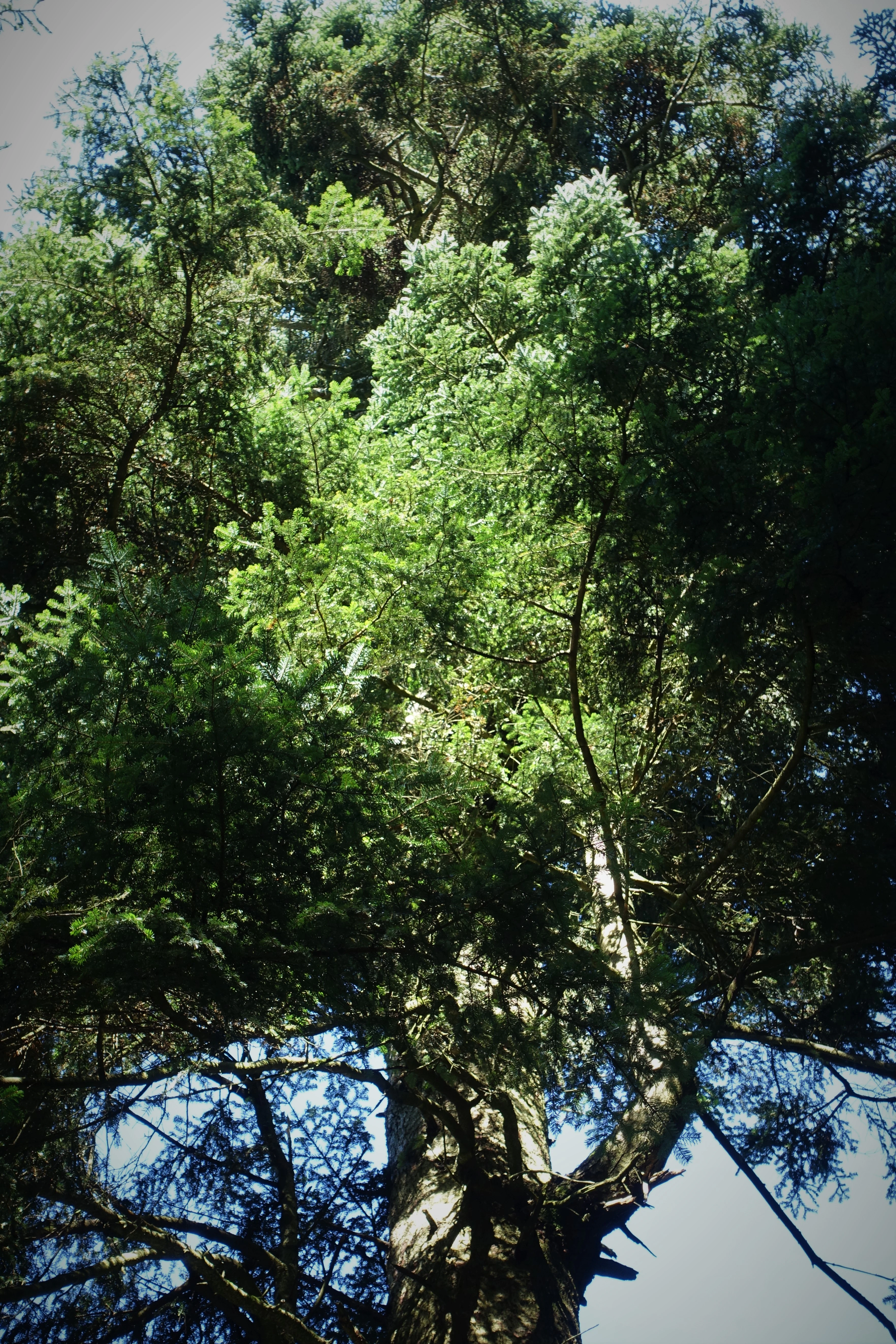
A low-angle view looking up into the canopy of a large, mature silver fir tree.
An old silver fir tree within the Dreibächel nature reserve.

Top sights and standout views in Dreibächel Nature Reserve

Dreibächel's strongest points of distinction are its centuries-long continuity of forest cover, the documented status of its spruce as the oldest in Saxony, and the persistence of the plenterwald management approach that produced such a stand in the first place. Its watershed setting at the meeting of three brooks ties the forest's character directly to the hydrology of the Schneehübel.

A short, well-marked interpretive trail, an information panel by Sachsenforst, and the visible features of an old-growth-style spruce stand (deadwood, windthrow, very thick stems, silver fir in the canopy) combine to make Dreibächel both a quiet nature destination and a hands-on introduction to historical Saxon forestry.
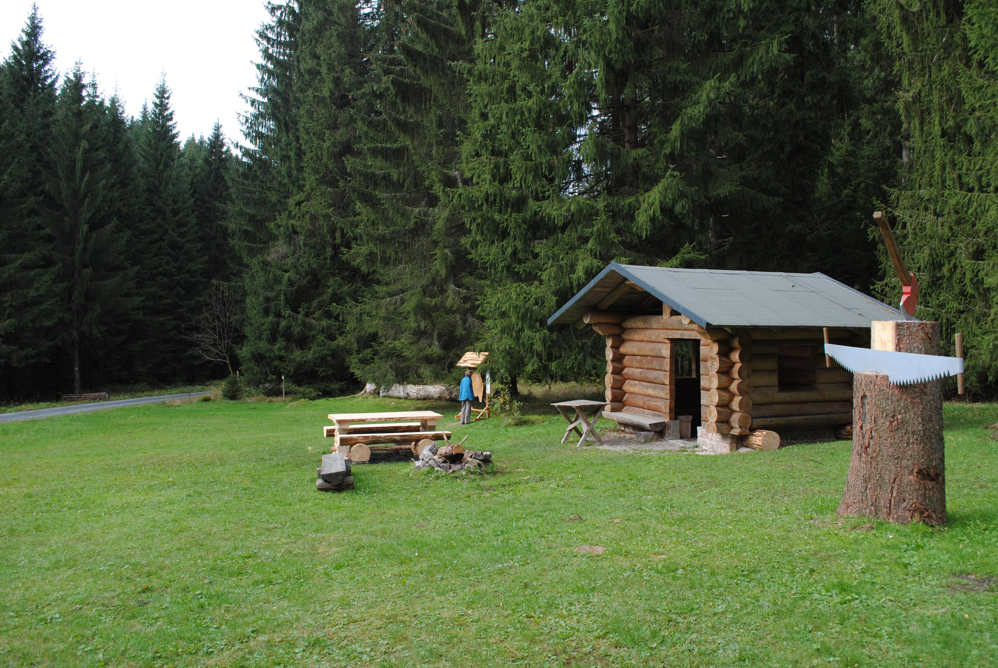
A small wooden log cabin stands in a grassy clearing surrounded by a dense spruce forest; a picnic table, a fire pit, and a decorative tree stump with a saw monument are in the foreground.
A small log cabin and picnic area set in a clearing within the spruce forest at Dreibächel.

Best time to visit Dreibächel Nature Reserve

Dreibächel is a year-round destination, but its character shifts with the seasons in the way typical of mid-elevation Ore Mountains forests. Late spring and early summer bring the freshest greens and the most active ground vegetation, while autumn is the most atmospheric time to walk among the spruces, with needle litter, cooler air, and lower light levels emphasising the stand's quiet, old-forest feel.

Winter can also be rewarding, when snow highlights the structure of the trunks and the open clearing used for interpretation, though conditions on the slopes of the Schneehübel can be cold and icy. Visitors should generally expect mountain weather rather than valley conditions regardless of season.

Monthly climate preview

Long-term monthly temperature and precipitation patterns recorded across representative coordinates in Saxony

Dreibächel Climate Normals, Annual Temperature and Precipitation Rhythm

Representative baseline measurements reveal the long-term annual temperature and precipitation rhythm across Dreibächel at an elevation of 545 meters. Detailed monthly comparisons provide complete weather statistics, establishing dependable climatological normals for the protected landscape.
Annual mean7 °C
-3 °C17 °C
Jan-3°
Feb-2°
Mar
Apr
May12°
Jun15°
Jul17°
Aug17°
Sep13°
Oct
Nov
Dec-1°
Warmest month
July

17.5 °C

Coolest month
January

-2.5 °C

Wettest month
July

2.8 mm/day

Driest month
April

1.4 mm/day

Park location guide

Geography guide, regional context, and park location map for Dreibächel Nature Reserve

Dreibächel Nature Reserve park geography, regions, and map view in Germany

Understand where Dreibächel Nature Reserve sits in Germany through a broader geographic reading of the surrounding landscape, nearby location context, and its mapped position within the national park landscape.

How Dreibächel Nature Reserve fits into Germany

Germany is a federal republic in Western and Central Europe with a population of over 83 million across sixteen constituent states. It is Europe's largest economy by nominal GDP and a major global exporter and importer. The capital is Berlin, and the country borders Denmark, Poland, Czech Republic, Austria, Switzerland, France, Luxembourg, Belgium, and the Netherlands.

Wider geography shaping Dreibächel Nature Reserve in Germany

Germany is located in Western and Central Europe, spanning 357,022 km². It borders Denmark to the north, Poland and the Czech Republic to the east, Austria and Switzerland to the south, and France, Luxembourg, Belgium, and the Netherlands to the west. The country has coastlines on the Baltic Sea and North Sea to the north, with the Alps located in the southern region.

Map view of Dreibächel Nature Reserve

Use this park location map to pinpoint Dreibächel Nature Reserve in Germany, understand its exact geographic position, and read its mapped placement within the surrounding landscape more clearly.

Pigeon | © OpenStreetMap contributors

Location context for Dreibächel Nature Reserve

Saxony

Examine the old-growth spruce stands, converging stream valleys, and rugged mountain terrain defining this protected reserve.

Dreibächel Photos and Landscapes: Visual Exploration of Saxony Protected Forest

Visual documentation captures the dense coniferous canopy, decaying deadwood, and traditional plenterwald forest structure across the steep mountain slopes of Dreibächel. Detailed imagery reveals the unique ecological character of Saxony oldest spruce stand and its surrounding watershed environment.

A large fallen tree trunk decaying on the forest floor, covered in moss and ferns, surrounded by lush green vegetation in a dense spruce forest.

A large wooden cross-section of a tree trunk suspended within a wooden frame shelter, with an informational sign attached to the right side.

A large broken tree stump in a dense forest, covered in white shelf fungi and surrounded by mossy logs.

A dense spruce forest with tall, slender tree trunks and a moss-covered log lying on the forest floor in the foreground.

A large, mature spruce tree trunk with thick, textured bark, covered in moss at its base, with a green hiking backpack sitting in front of it in a forest.

Looking directly up the thick, textured trunk of a tall spruce tree towards the canopy in a forest setting.

A low-angle view looking up into the canopy of a large, mature silver fir tree.

A small wooden log cabin stands in a grassy clearing surrounded by a dense spruce forest; a picnic table, a fire pit, and a decorative tree stump with a saw monument are in the foreground.

Park atlas

Compare adjacent mountain reserves and regional forest geography across the Westerzgebirge

Explore Parks Near Dreibächel and Surrounding Protected Landscapes in Saxony

Browse other protected areas and mountain reserves located near Dreibächel within the forested ridges of the western Ore Mountains. Continued geographic comparison reveals broader patterns in regional forest management and watershed preservation across Saxony.
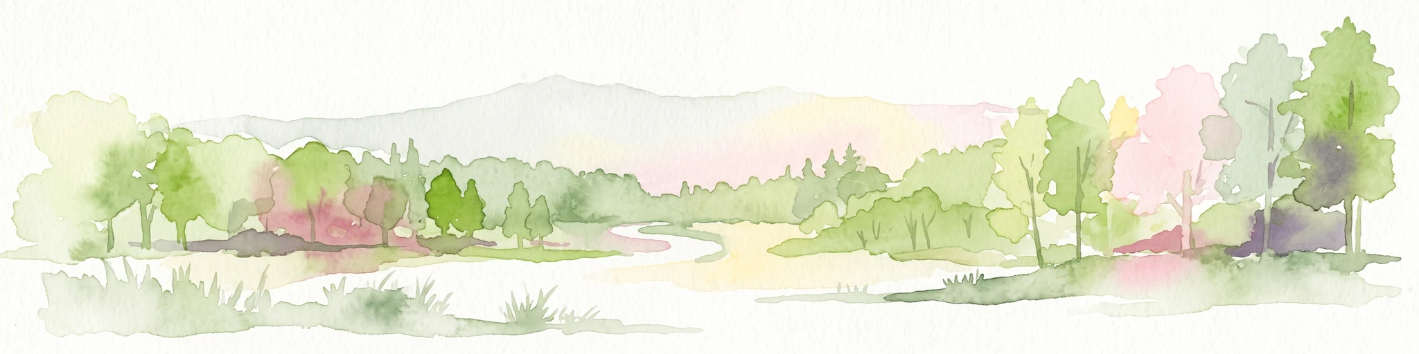
Watercolor painting of a flat marshy landscape with a small winding stream in the foreground, green trees in the midground, and soft purple mountain silhouettes in the distance.
Nature reserveSaxony
About 3.3 km away#1 closest

East

Großer Kranichsee Nature Reserve: Protected Raised Bog Geography and Ore Mountain Landscapes

Watershed moorland, mountain pine forests, and Saxony high plateau geography.

Großer Kranichsee serves as a primary example of an intact raised bog system in the Ore Mountains. The reserve features rare peat-forming vegetation and highland bog forests, occupying a high-altitude plateau that bridges the border between Saxony and the Czech Republic. Its geographic significance stems from its role as a triple watershed, defining the drainage patterns for three distinct regional river systems within the protected Erzgebirgskamm zone.

Area
6.11 km²
Established
1912
A horizontal watercolor illustration of a gentle landscape with scattered trees, soft green foliage, and faint mountain outlines in the background.
Nature reserveSaxony
About 4.6 km away#2 closest

North

Am Riedert Nature Reserve: Protected Mountain Forest Geography in Saxony, Germany

Analyzing the ecological boundaries and Hercynian mountain mixed forest terrain

Am Riedert is a compact but ecologically important nature reserve situated on the rugged slopes of the western Erzgebirge. This site protects a significant example of mountain mixed forest, characterized by its mature silver fir populations and active natural regeneration. By examining its location south of the Zwickauer Mulde river, visitors can trace the intersection of Saxon history and conservation within this unique protected landscape.

Area
0.185 km²
Established
1961
IUCN
IV
Relief
Mountain
Nature reserveSachsen
About 10 km away#3 closest

Northeast

Friedrichsheider Hochmoor Nature Reserve: Geography and Protected Bog Landscape in Sachsen

High-elevation peatland and bog pine forest mapping

Situated at 800 meters above sea level near Sosa, Friedrichsheider Hochmoor serves as a cornerstone of peatland conservation in the Erzgebirge. This reserve is defined by its thick peat body and dense Spirken moor forest, offering a rare look at near-intact mire ecosystems that support diverse Sphagnum mosses and subarctic plant communities within a protected regional framework.

Area
0.19 km²
Established
1967
IUCN
IV
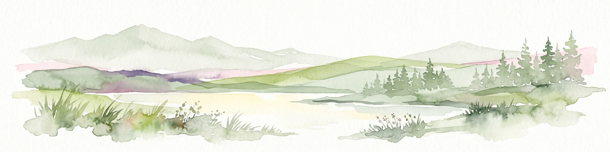
A horizontal watercolor illustration depicting a soft, green, mountain landscape with hills, conifers, and a waterlogged meadow.
Natural monumentKarlovy Vary Region
About 12 km away#4 closest

Southeast

Rudenská luční prameniště Natural Monument: Protected Mountain Wetland Atlas

Karlovy Vary Region Ore Mountains landscape mapping

Rudenská luční prameniště is a protected mountain wetland in the Ore Mountains, defined by a distinct mosaic of spring fens, peat deposits, and mountain meadows. Its geographic layout, spanning twenty three hectares across sloping terrain, creates a vital drainage system for the local landscape. By examining this protected site, you can better understand the unique hydrological and botanical features that distinguish these rare mountain mire complexes from the surrounding highland forests.

Area
0.232 km²
Established
2020
IUCN
IV
Relief
Mountain
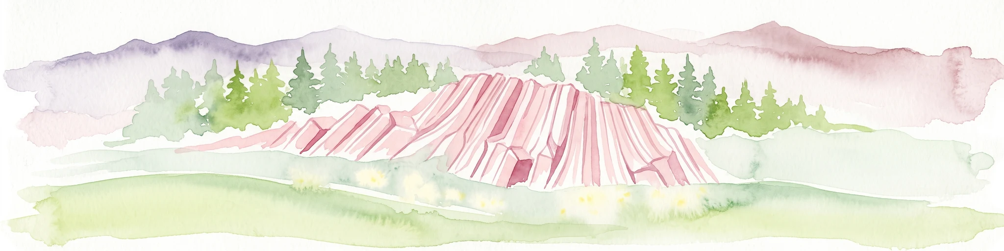
Watercolor painting of columnar basalt formations surrounded by a pine forest and soft, layered hills in the background.
Natural monumentKarlovarský kraj
About 14 km away#5 closest

South

Rotava Natural Monument: Geological Landforms and Basalt Outcrops in the Karlovarský kraj Region

Protected volcanic terrain and rare botanical habitats in the Czech Republic

Rotava Natural Monument showcases remarkable vertical basalt columns formed by ancient volcanic activity. Located in the Karlovarský kraj region, this site provides a dense, concentrated look at columnar jointing and the specific meadow flora that thrives in its mineral-rich, acidic soil conditions, serving as a landmark for regional geological study.

Area
0.003 km²
Established
1978
IUCN
IV
Relief
Mountain
Nature reserveSaxony
About 15 km away#6 closest

North

Heide und Moorwald am Filzteich: Nature Reserve and Bog Landscape in Saxony

Protected moorland forest and heathland geographic context

Heide und Moorwald am Filzteich provides a unique look at habitat management in the Erzgebirge region. This nature reserve, adjacent to the Filzteich reservoir, encompasses a protected mosaic of open heath, remnant bog systems, and historical peatland terrain. Its geographic boundaries offer insights into the transitional landscapes of the Saxon uplands and local water table influences on wetland biodiversity.

Area
3.14 km²
Established
2010
IUCN
IV
Natural monumentKarlovarský kraj
About 16 km away#7 closest

East

Vlčí jámy Natural Monument: Protected Geological and Industrial Heritage in Bohemia

Ore Mountains mining collapse and relict microclimate landscape

Vlčí jámy protects a rare intersection of medieval mining history and environmental significance in the Karlovarský kraj. The site is defined by two deep collapse features, Ledová jáma and Vlčí jáma, which function as persistent cold traps. These geological anomalies support critically endangered mosses and bat colonies, illustrating how abandoned industrial landscapes in the Ore Mountains evolve into essential, small-scale protected habitats.

Area
0.014 km²
Established
1975
IUCN
III
Relief
Mountain
Nature reserveSachsen
About 17 km away#8 closest

Northeast

Conradswiese Nature Reserve: Geographic Overview of the Saxon Ore Mountains Forest Meadow

Protected mountain meadow and mixed forest terrain in Sachsen.

Conradswiese encompasses a distinct Waldwiese clearing embedded within the Bergmischwald of the western Ore Mountains. Located near the Morgenleithe, this nature reserve is positioned along a watershed boundary between two river systems, making it a point of geographic interest for those exploring the natural heritage and silvicultural history of Germany.

Area
38.97 km²
IUCN
IV

Common questions about visiting, size, designation, and location context for Dreibächel Nature Reserve

Dreibächel Nature Reserve FAQs for park facts, access, geography, and protected area context

Find quick answers about Dreibächel Nature Reserve, including protected-area facts, park geography, trail and visitor context, and how the park fits into its surrounding country and regional landscape.
MoriAtlas Explorer

Continue Your Protected Areas Search Across the Global Atlas

Deepen your exploration by continuing the structured search for national parks and protected areas worldwide. Utilize the comprehensive filtering capabilities to compare different conservation landscapes and refine your understanding of global park geography. Discover more about the distribution and characteristics of protected natural areas.

Global natural geography