
Mori Atlas logo
Nature reserveErmschwerder Heegen

Exploring the calcareous ridge, floodplain marshes, and historic meadow mosaics of northern Hesse

Ermschwerder Heegen Nature Reserve: A Detailed Atlas of Protected Landscape and Geography

(Naturschutzgebiet Ermschwerder Heegen)

Ermschwerder Heegen is a protected nature reserve in northern Hesse, anchored on a distinct Muschelkalk ridge overlooking the Werra valley. The landscape encompasses an intricate mosaic of ancient beech and oak forests, spring-fed marshlands known as the Franzosenried, and diverse calcareous dry grasslands shaped by centuries of traditional land use. This geographic site provides essential habitat for rare floodplain plant communities and rich butterfly assemblages, serving as a critical example of regional biodiversity within the Werra-Meißner-Kreis.

Muschelkalk ridgeWerra valleybeech and oak forestcalcareous dry grasslandorchid-rich woodlandspring-fed marsh
A flat-style digital illustration showing a winding river flowing through a valley between tiered limestone cliffs with a waterfall, surrounded by trees and a sunlit sky.

Ermschwerder Heegen

Nature reserve

Park overview

Structured park overview, official facts, and landscape profile for Ermschwerder Heegen

Ermschwerder Heegen park facts, protected area profile, and essential visitor context

Review the core facts for Ermschwerder Heegen, including designation, size, terrain, visitor scale, habitats, and operating context in one park-focused overview.

About Ermschwerder Heegen

Ermschwerder Heegen occupies a striking position in the landscape of northern Hesse, where it rises around 100 metres above the left bank of the Werra and forms part of a series of Muschelkalk ridges that descend below the surrounding Buntsandstein uplands. The protected area lies within the Werra-Meißner-Kreis, just northwest of the village of Ermschwerd, and is part of the broader Geo-Naturpark Frau-Holle-Land. Although modest in size, it brings together an unusually wide range of habitat types within a compact footprint.

The reserve's forested slopes are dominated by a rich mix of beech, oak, and hornbeam, with remnants of traditional Niederwald or Mittelwald woodland management still legible in the structure of some stands. On the south-facing slopes, formerly extensive grassland and orchard cultivation have left a patchwork of small parcels that today host calcareous dry grassland communities classified within the Mesobromion alliance. The juxtaposition of woodland, scrub, grassland, and orchard creates the structural diversity that supports the area's renowned butterfly fauna.

At the foot of the ridge lies the Franzosenried, a roughly three hectare spring-fed marsh occupying the floodplain of the lower Werra valley. Sheltered by the surrounding hills, this area enjoys a warm, dry microclimate that allows heat-loving plant communities otherwise typical of larger river floodplains to persist in unusually high quality. The conservation significance of this small marsh has been formally recognised in the standard Natura 2000 data form for the site.

Quick facts and research context for Ermschwerder Heegen

Ermschwerder Heegen is a 37 hectare nature reserve in the Werra-Meißner-Kreis of northern Hesse, lying on a Muschelkalk ridge above the lower Werra valley near Ermschwerd, a district of Witzenhausen. It was designated as a Naturschutzgebiet in December 1985 and became a Flora-Fauna-Habitat site within the Natura 2000 network in 2008, with the same boundaries as the original reserve.

The protected area combines old-growth forest, a spring-fed marsh called the Franzosenried, calcareous dry grasslands, orchard meadows, and farmland, and belongs to the Geo-Naturpark Frau-Holle-Land. It is classified under IUCN Category IV as a Habitat and Species Management Area and is recognised for nationally important floodplain vegetation, rare woodland herbs including orchids, and a particularly rich assemblage of butterflies and amphibians.

Protection and recognition

Documented conservation status and international designation records for Ermschwerder Heegen

Ermschwerder Heegen Protection Status and International Recognition Data

Ermschwerder Heegen holds structured protection records including verified Natura 2000 network designations. Conservation tracking data details official recognition sources and administrative boundaries.
Park context

Deeper park guide and search-rich context for Ermschwerder Heegen

Ermschwerder Heegen history, landscape, wildlife, and travel context

Explore Ermschwerder Heegen through its history, landscape character, ecosystems, wildlife, conservation priorities, cultural context, and seasonal travel timing in a structured park guide built for atlas discovery and search intent.

Why Ermschwerder Heegen stands out

Ermschwerder Heegen is best known for three distinctive ecological features. The first is its extraordinary springtime display of Leberblümchen (liverwort), whose blue flowers carpet the woodland floor under the beech and oak canopy. The second is the Franzosenried, a small but ecologically outstanding spring-fed marsh that holds what German conservation authorities describe as the most nationally significant expression of Stromtalvegetation, a floodplain plant community dominated by the threatened Fluss-Greiskraut. The third is the reserve's mosaic of traditionally used habitats: calcareous dry grasslands, old orchard meadows, and structurally rich forest remnants of the Niederwald and Eichen-Hainbuchen type. Together they support one of the most diverse butterfly communities in the district, including the strictly protected Golden Scheckenfalter, as well as notable amphibian populations including the Kammmolch.
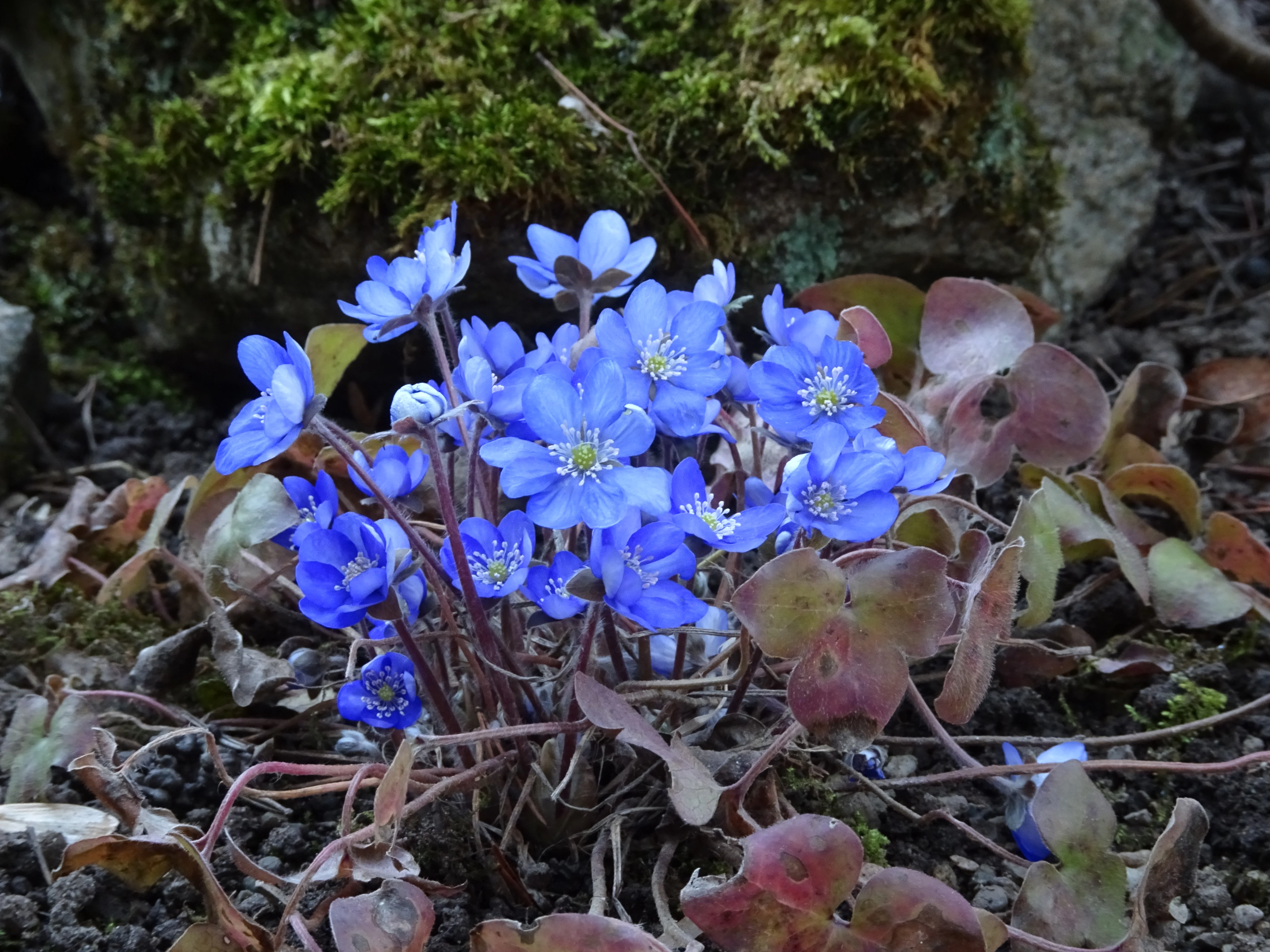
A close-up of a small cluster of vibrant blue hepatica flowers growing from the ground, with dark green moss and brown leaf litter in the background.
Clusters of blue hepatica flowers in bloom.

Ermschwerder Heegen history and protected-area timeline

The habitats of Ermschwerder Heegen are the product of long-standing human use of the landscape. On the more fertile parcels, arable farming was practised, while the thin, stony soils of the south slope were historically managed as extensive grassland or used for orchard cultivation. Some forest areas appear to have served as woodland pasture, and the prevailing traditional woodland management was Niederwald or Mittelwald, in which trees were periodically cut back and allowed to regrow from the stump.

Quarrying of the local Muschelkalk for road-building left visible traces in the landscape, including a disused quarry within the protected zone and an active quarry just beyond its boundary. Even before formal protection, the Hessische Gesellschaft für Ornithologie und Naturschutz recognised the conservation value of the marshland and leased the Franzosenried to secure it for nature conservation, commissioning an ecological assessment that supported the case for statutory designation.

The area was formally declared a Naturschutzgebiet by the Bezirksdirektion für Forsten und Naturschutz at the Regierungspräsidium Kassel on 6 December 1985. In January 2008 it received additional legal protection under Hessian Natura 2000 legislation as a Flora-Fauna-Habitat site, with the same boundaries and conservation objectives as the original reserve.

Ermschwerder Heegen landscape and geographic character

The dominant landscape feature of Ermschwerder Heegen is a Muschelkalk ridge that rises to about 235 metres above sea level and drops steeply towards the Werra valley floor. Along with neighbouring hills, it forms a series of limestone knolls that were lowered relative to the surrounding Buntsandstein highlands of the Kaufunger Wald and Sandwald by tectonic faulting along the line of the Werra. This geological contrast between the calcareous core of the ridge and the sandstone hills beyond shapes both the soils and the vegetation of the reserve.

The protected landscape includes the wooded upper slopes and crest, the open south-facing slopes with their terraced dry grasslands and orchard remnants, and the low-lying floodplain of the Franzosenried at the foot of the ridge. Old limestone quarries are visible in the eastern part of the area, and the ridge itself offers notable viewpoints over the Werra valley that can be reached along forest and farm tracks.

The climate of the lower Werra valley is unusually warm and dry for the region, sheltered by the surrounding hills. This sheltered basin position supports a range of heat-loving plant species and historically favoured extensive cherry cultivation in the surrounding area.
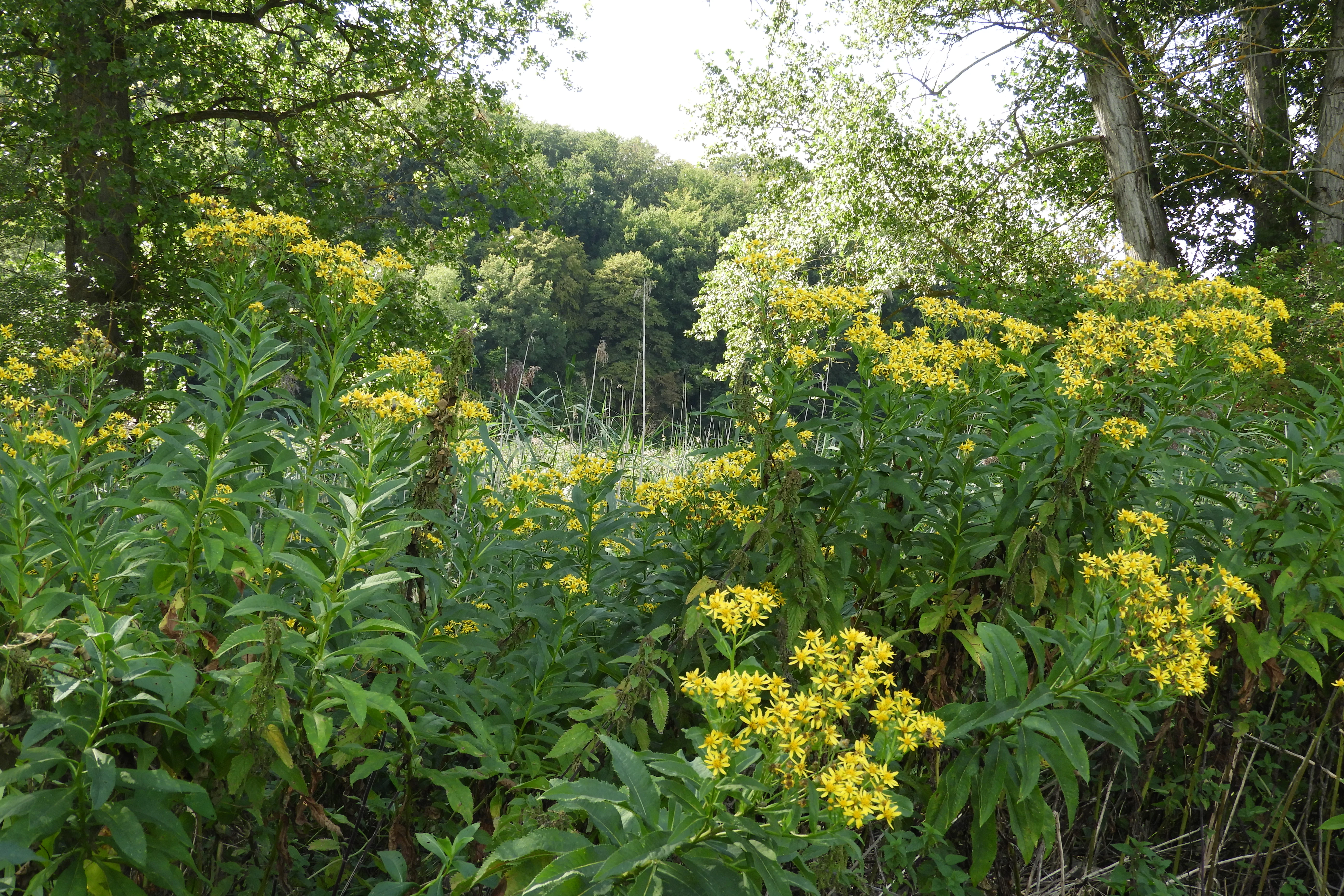
Clusters of bright yellow goldenrod flowers in full bloom against a backdrop of lush green forest foliage and meadow grasses.
Clusters of goldenrod flowers in the meadow of the Ermschwerder Heegen nature reserve.

Ermschwerder Heegen ecosystems, habitats, and plant life

Ermschwerder Heegen protects an unusually compact mosaic of natural and semi-natural habitats, each contributing to the area's overall biodiversity. The forested cover on the ridge crest and its western and northern flanks is composed primarily of beech, oak, and hornbeam, with a particularly species-rich understorey on the calcareous soils. This woodland is classified within two important Natura 2000 habitat types: Waldmeister-Buchenwald (habitat type 9130) and Orchideen-Kalk-Buchenwald (habitat type 9150).

Below the woodland, the south-facing slopes still preserve fragments of the historical cultural landscape: small parcels of calcareous dry grassland, traditional orchard meadows, and areas of scrub. Although many of these open habitats have become overgrown since regular management ceased, they still harbour characteristic grassland species and provide crucial nectar resources and breeding habitats for insects and birds.

The most distinctive ecological feature of the reserve is the Franzosenried, a seasonally waterlogged spring-fed floodplain that retains nationally important floodplain vegetation. Together, these habitats form the ecological backbone of the site and underpin its recognition both as a German Naturschutzgebiet and as a European Flora-Fauna-Habitat area.
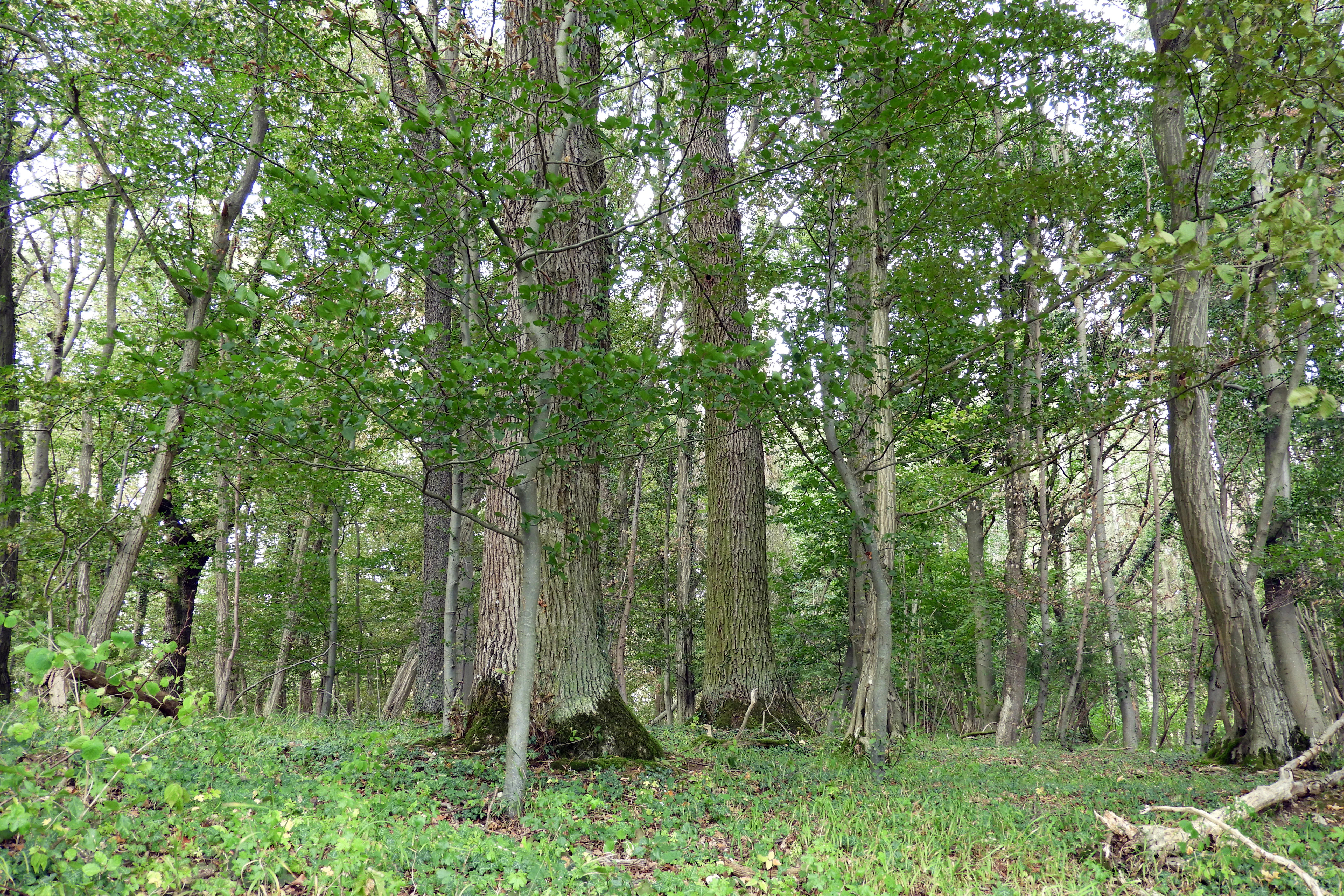
A dense, mature hardwood forest with large, textured tree trunks and a green forest floor in the Ermschwerder Heegen nature reserve.
Old-growth forest stands in the Ermschwerder Heegen nature reserve.

Ermschwerder Heegen wildlife and species highlights

The wildlife of Ermschwerder Heegen reflects the diversity of its habitats. The mature woodland supports breeding populations of hole-nesting and mature-forest birds such as Hohltaube, Grauspecht, and Schwarzspecht, while the shrubby lower slopes provide hunting territory for Sperber and nesting habitat for Neuntöter. The marsh and surrounding reedbeds are used as breeding habitat by species including Teichralle, Wasserralle, Rohrweihe, Goldammer, Teichrohrsänger, and Sumpfrohrsänger.

Amphibians are particularly significant for the reserve's conservation status. The marshland supports a population of Kammmolch, a species listed under Annex II of the EU Habitats Directive and therefore strictly protected. Other recorded amphibians include Feuersalamander, Erdkröte, Grasfrosch, Kleiner Teichfrosch, Bergmolch, Teichmolch, and Fadenmolch, together with Zauneidechse, giving the reserve two reptile and eight amphibian species, many of which appear on German or Hessian Red Lists.

The reserve is also notable for its invertebrate fauna. The dragonfly community of the marsh includes 19 recorded species, while the mosaic of grassland, scrub, and woodland edges supports one of the most species-rich assemblages of butterflies and burnet moths in the Werra-Meißner-Kreis, with more than fifty species recorded, including the strictly protected Golden Scheckenfalter.
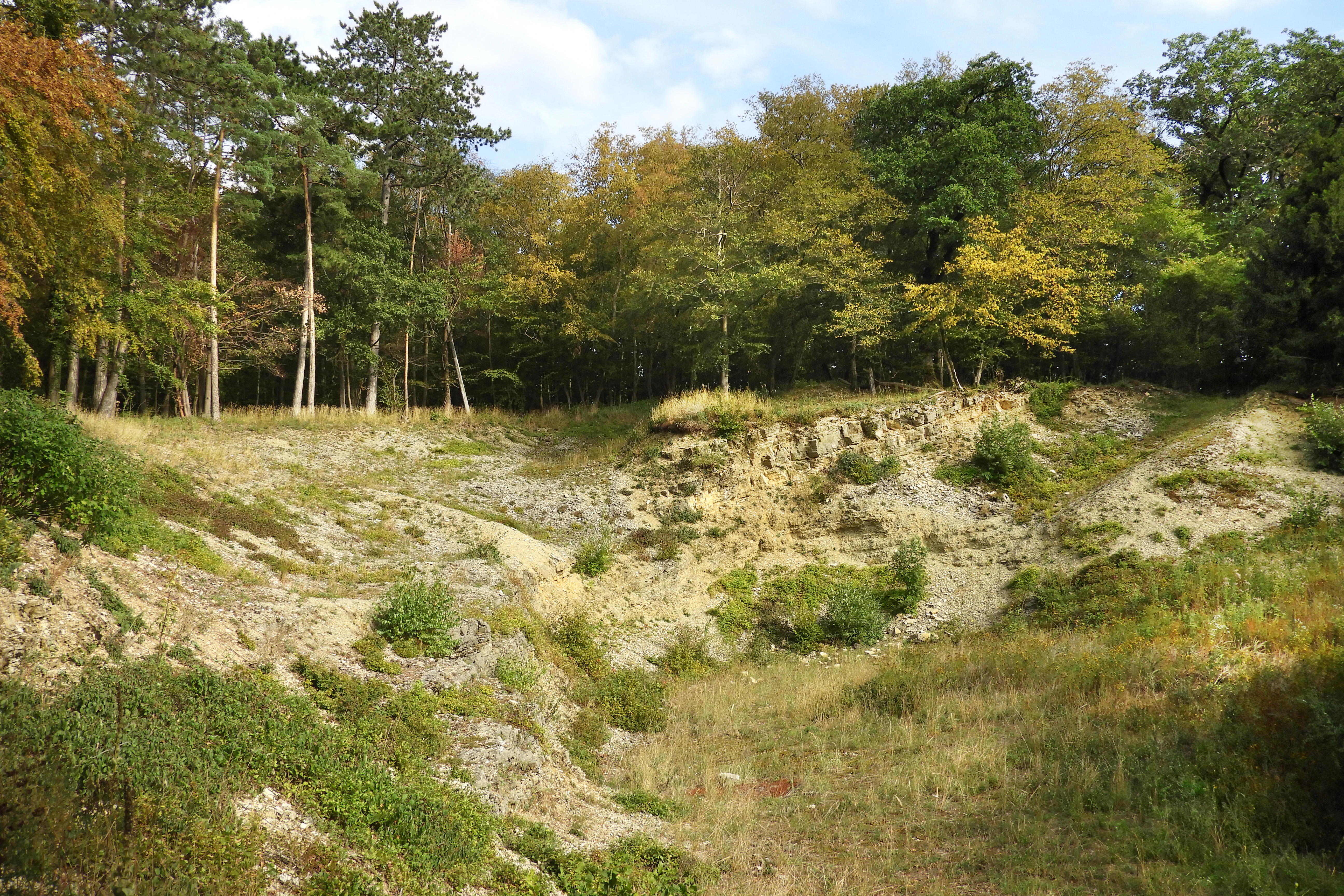
A rocky limestone depression in the foreground with exposed rock faces and sparse grass, bordered by a dense deciduous forest in the background.
A limestone quarry depression within the Ermschwerder Heegen nature reserve.

Ermschwerder Heegen conservation status and protection priorities

Ermschwerder Heegen plays an important role within both national and European conservation frameworks. As a designated Naturschutzgebiet under Hessian law and as a Flora-Fauna-Habitat site within the Natura 2000 network, it benefits from a protected legal status that covers its old-growth forest, marshland, dry grasslands, and traditional orchard meadows. The conservation objectives of the two designations are aligned, with the same boundaries and management goals.

The reserve is particularly valued for the conservation of habitat types and species that are rare or threatened elsewhere in Germany. The Franzosenried marsh holds what has been formally described as the most nationally significant expression of Stromtalvegetation, a floodplain plant community that has declined sharply with changes in river management. The woodland is recognised for its orchid-rich calcareous beech forest, a priority habitat type under the Habitats Directive.

The site's conservation importance is further reinforced by the presence of strictly protected species such as the Kammmolch and the Golden Scheckenfalter, both listed under Annex II of the Habitats Directive. Management efforts focus on maintaining water levels in the marsh, controlling nutrient enrichment, restoring native alder-ash woodland in place of poplar plantations, increasing the amount of deadwood and veteran trees in the forest, and maintaining the open character of the dry grasslands through scrub clearance and extensive grazing.

Ermschwerder Heegen cultural meaning and human context

Ermschwerder Heegen is a landscape shaped by centuries of traditional rural use. The reserve preserves visible traces of a former Kulturlandschaft: small parcel boundaries, orchard meadows, remnants of Niederwald and Mittelwald woodland management, and disused limestone quarries that once supplied local road-building material. These features document how pre-industrial farming and forestry practices created the habitat diversity that the reserve now protects.

The warm, sheltered basin of the lower Werra valley around Witzenhausen has long been a centre of cherry cultivation in northern Hesse, an agricultural tradition supported by the dry microclimate of the area. The reserve itself preserves fragments of orchard use that connect it to this broader regional identity.

Even before formal conservation designation, the Hessische Gesellschaft für Ornithologie und Naturschutz played an active role in protecting the site by leasing the marshland and supporting the ecological assessment that underpinned its designation. This early involvement by a regional conservation body reflects the long-standing local appreciation of the area's natural value.

Top sights and standout views in Ermschwerder Heegen

Ermschwerder Heegen combines unusually high ecological value with a compact and easily interpretable landscape, offering a clear example of how historical land use can create enduring biodiversity. The reserve's woodland is exceptional for its display of Leberblümchen and its suite of rare orchids, while the Franzosenried marsh holds what is formally recognised as Germany's most nationally important remaining expression of a floodplain plant community dominated by Fluss-Greiskraut.

The reserve also stands out regionally for its invertebrate richness, supporting one of the most diverse butterfly and burnet moth assemblages in the Werra-Meißner-Kreis, including populations of the strictly protected Golden Scheckenfalter. Its protected status at both German and European levels, combined with its accessible location near Witzenhausen, makes it a notable stop for visitors interested in calcareous woodland, spring-fed marshland, and the cultural landscape of the lower Werra valley.

Best time to visit Ermschwerder Heegen

Spring, particularly March and April, is the most distinctive time to experience Ermschwerder Heegen, when the woodland floor beneath the beech and oak canopy is carpeted with the blue flowers of Leberblümchen. The warm, dry microclimate of the lower Werra valley also brings early leaf-out and abundant wildflower displays, while the dry grasslands on the south-facing slopes begin to show their characteristic chalk-loving flora.

Summer brings different points of interest: the Fluss-Greiskraut flowers in the marsh from August into September, the dry grasslands attract a rich assemblage of butterflies and burnet moths, and the viewpoints on the ridge offer wide views over the Werra valley. Late summer visits can therefore be particularly rewarding for those interested in insects and floodplain vegetation, while woodland visitors may find spring the most memorable season for the reserve's signature wildflower display.

Monthly climate preview

Long term average temperature and precipitation measurements across the representative coordinate

Ermschwerder Heegen Climate Normals and Monthly Weather Patterns

Representative coordinate records show measured temperature ranges spanning sub-zero winter minimums to warm summer maximums alongside consistent daily precipitation rates throughout the year. Reviewing the complete twelve-month sequence provides deeper insight into the historical climate baseline and long-term environmental rhythms.
Annual mean8 °C
-1 °C18 °C
Jan-1°
Feb
Mar
Apr
May12°
Jun16°
Jul18°
Aug18°
Sep14°
Oct
Nov
Dec
Warmest month
July

18.2 °C

Coolest month
January

-0.9 °C

Wettest month
July

2.6 mm/day

Driest month
April

1.5 mm/day

Park location guide

Geography guide, regional context, and park location map for Ermschwerder Heegen

Ermschwerder Heegen park geography, regions, and map view in Germany

Understand where Ermschwerder Heegen sits in Germany through a broader geographic reading of the surrounding landscape, nearby location context, and its mapped position within the national park landscape.

How Ermschwerder Heegen fits into Germany

Germany is a federal republic in Western and Central Europe with a population of over 83 million across sixteen constituent states. It is Europe's largest economy by nominal GDP and a major global exporter and importer. The capital is Berlin, and the country borders Denmark, Poland, Czech Republic, Austria, Switzerland, France, Luxembourg, Belgium, and the Netherlands.

Wider geography shaping Ermschwerder Heegen in Germany

Germany is located in Western and Central Europe, spanning 357,022 km². It borders Denmark to the north, Poland and the Czech Republic to the east, Austria and Switzerland to the south, and France, Luxembourg, Belgium, and the Netherlands to the west. The country has coastlines on the Baltic Sea and North Sea to the north, with the Alps located in the southern region.

Map view of Ermschwerder Heegen

Use this park location map to pinpoint Ermschwerder Heegen in Germany, understand its exact geographic position, and read its mapped placement within the surrounding landscape more clearly.

Pigeon | © OpenStreetMap contributors

Location context for Ermschwerder Heegen

Werra-Meißner-Kreis
Recorded earthquake history

Review Recorded Seismic History and Earthquake Data for Ermschwerder Heegen

Investigate the historical record of earthquakes documented within the proximity of Ermschwerder Heegen. MoriAtlas provides a clear view of seismic events and epicentre data for the Werra-Meißner-Kreis region to support detailed geographic exploration of the area.

Ermschwerder Heegen Earthquake History

Catalogued events

1 event

Strongest magnitude

Magnitude 3.1

Most recent event

Oct 13, 1980

This history includes earthquakes recorded inside the park or within 50 km of its borders

Explore photographic records of Muschelkalk ridges, forest canopies, and spring fed marshes.

Ermschwerder Heegen Photos and Landscape Scenery: Visualizing Protected Habitats

Visual documentation reveals the distinctive terrain, beech woodlands, and calcareous grasslands defining the protected nature reserve. Photographic records provide clear insight into the complex mosaic of habitats and valley topography shaping the regional environment.

A close-up of a small cluster of vibrant blue hepatica flowers growing from the ground, with dark green moss and brown leaf litter in the background.

A wide view looking over a grassy, sloped meadow in the foreground toward a forested valley and a small town in the distance under a partly cloudy sky.

Clusters of bright yellow goldenrod flowers in full bloom against a backdrop of lush green forest foliage and meadow grasses.

A dense, mature hardwood forest with large, textured tree trunks and a green forest floor in the Ermschwerder Heegen nature reserve.

A rocky limestone depression in the foreground with exposed rock faces and sparse grass, bordered by a dense deciduous forest in the background.

Park atlas

Compare adjacent limestone ridges and river valley reserves in northern Hesse

Explore Parks Near Ermschwerder Heegen and Surrounding Protected Landscapes

Browsing other protected areas near Ermschwerder Heegen reveals the distinct geological patterns and diverse habitats shared across the lower Werra valley. Comparing these regional reserves provides broader context on limestone ridge ecosystems and traditional conservation landscapes.
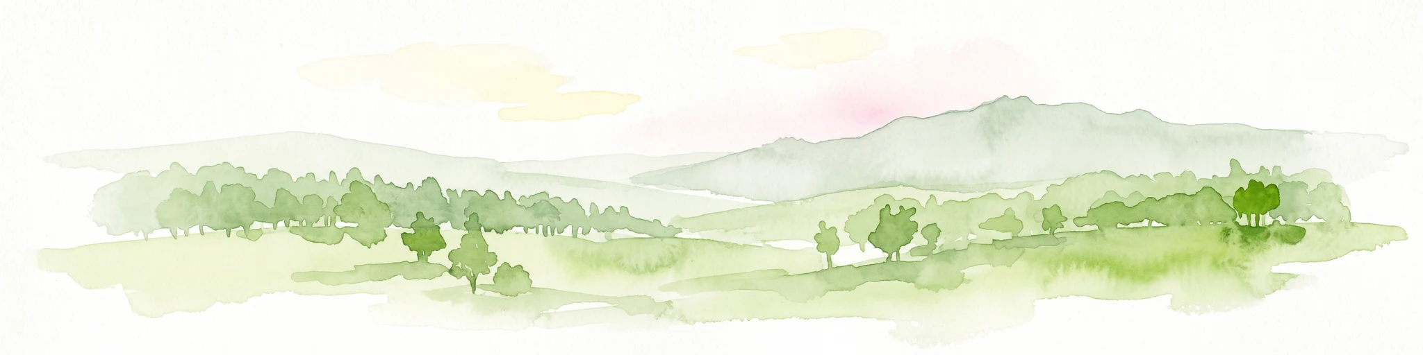
A horizontal watercolor painting showing a winding river flowing through a lush valley with forested hills in the background.
Protected areaHesse
0.5 km away#1 closest

East

Freudenthal bei Witzenhausen Protected Landscape and Wetland Geography in Hesse

A restored gravel pit wetland system in the northern Hesse Werra valley.

Freudenthal bei Witzenhausen represents a high-value conservation landscape within Hesse, serving as a primary site for breeding and migratory waterbirds. The reserve comprises three interconnected quarry lakes surrounded by alluvial woodland, ruderal vegetation, and meadows. This habitat mosaic is part of the Natura 2000 network, providing essential ecological connectivity within the riverine corridor of the lower Werra valley.

Area
0.76 km²
Established
1980
Relief
Lowland
Climate
Temperate
A horizontal watercolor illustration depicting rolling green hills, scattered trees, and soft mountain silhouettes against a pale sky.
Protected areaGermany
3 km away#2 closest

South

Kalkmagerrasen bei Roßbach: Protected Calcareous Grassland and Juniper Landscape in Germany

Geographic atlas and protected area overview in Hesse

Kalkmagerrasen bei Roßbach consists of five distinct plots that protect rare Enzian Schillergras Rasen communities on shallow Zechstein limestone soils. This site remains a critical stronghold for diverse orchid populations and protected butterfly species within the Werra Meißner region. The mosaic of juniper, flowering herbs, and historic cherry orchards creates a unique Mediterranean character rarely found in central German hill country.

Area
0.551 km²
Established
1996
Relief
Upland
Climate
Temperate
Protected areaEllerode
4 km away#3 closest

North

Kreideberg bei Ellerode Protected Area: Geography, Boundaries, and Landscape Map

A diverse calcareous forest habitat in northern Hesse

The Kreideberg bei Ellerode reserve showcases a unique geological character with its chalk-influenced substrate and rich botanical communities. This protected landscape encompasses old-growth beech stands, semi-dry grasslands, and rare calcareous spring features. The site represents an essential, compact habitat corridor within the broader Werra-Meißner-Kreis regional geography.

Area
0.571 km²
Established
1995
Relief
Upland
Climate
Temperate
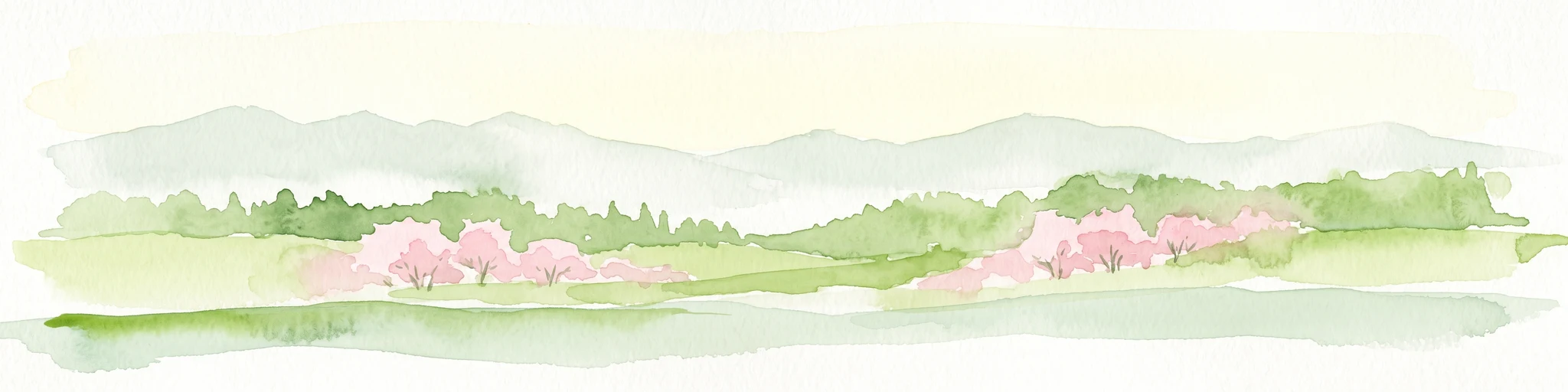
Watercolor painting of a pastoral landscape with light green hills in the distance, a field with flowering pink trees, and a pale green meadow in the foreground.
Nature reserveWerra-Meißner-Kreis
6.9 km away#4 closest

Southeast

Ebenhöhe-Liebenberg Nature Reserve: Geography and Protected Habitat Mapping

Protected calcareous forests and dry grassland mosaic

Explore the mapped boundaries and natural terrain of the Ebenhöhe-Liebenberg nature reserve. This site provides a critical habitat mosaic including orchid-rich beech woodlands, nutrient-poor grasslands, and sandstone outcrops that form a significant conservation area within the Hessian highlands.

Area
142.48 km²
Established
1995
IUCN
IV
Relief
Upland
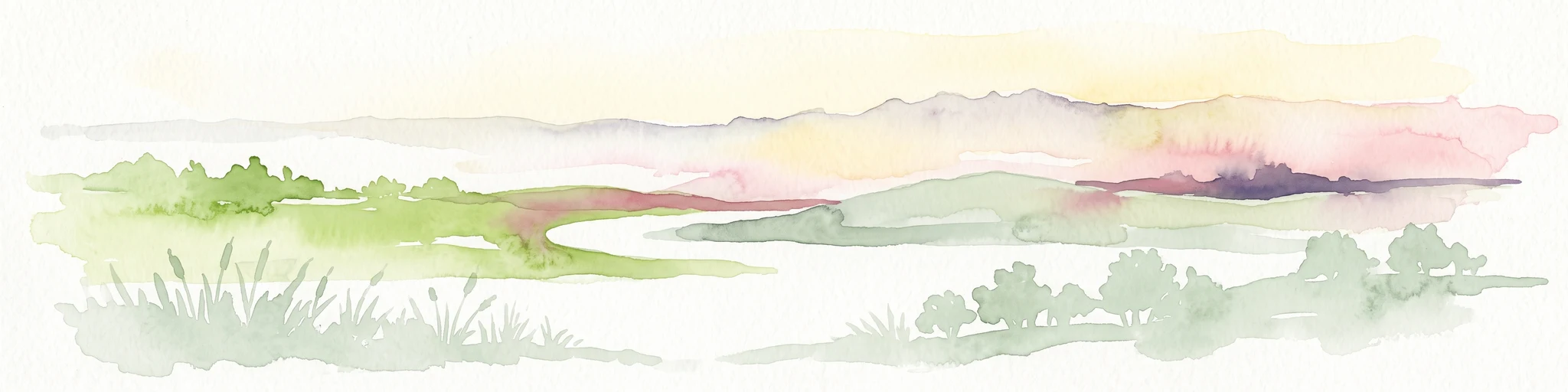
A horizontal watercolor painting depicting a soft, atmospheric landscape with rolling green hills, a winding river or water feature, and distant pale mountains under a hazy, pastel sky.
Protected landscapeLower Saxony
About 9.9 km away#5 closest

West

Naturpark Münden Protected Landscape: Geography and Regional Mapping in Lower Saxony

Forested ridges and river valleys in southern Germany

Naturpark Münden offers a detailed look at the central German low mountain range. Discover the mapping of the Kaufunger Wald and Bramwald, the significance of the Fulda and Werra river confluences, and the structure of this historically significant protected landscape located in Lower Saxony.

Area
374 km²
Established
1959
Relief
Mountain
Water
Major water bodies
Watercolor painting of a mountain landscape with green slopes, coniferous forests, and rocky outcroppings under a soft, light-filled sky.
Nature reserveHesse
10 km away#6 closest

South

Meißner Nature Reserve in Northern Hesse: Mapping the Hoher Meißner Basaltic Massif

A comprehensive look at forest wilderness, bogs, and volcanic geology

Covering roughly 930 hectares, the Meißner nature reserve in northern Hesse protects an ecologically distinct upland landscape. The area features a significant basalt plateau, ancient scree slopes, mountain meadows, and hanging spring bogs, offering a prime example of protected central German topography and forest wilderness.

Area
9.322 km²
Established
1989
IUCN
IV
Relief
Mountain
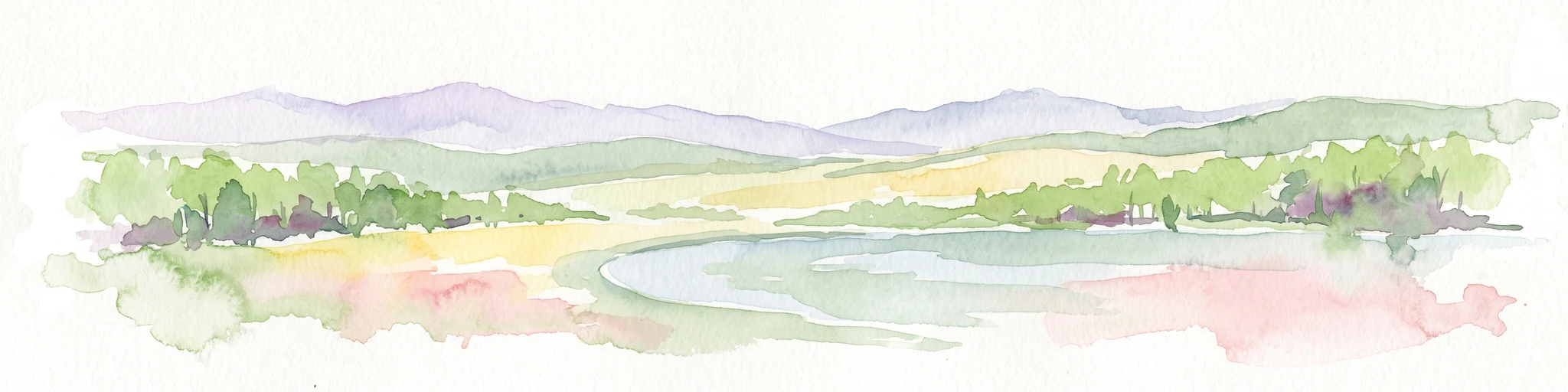
A soft watercolor illustration depicting a winding river landscape with lush trees and rolling hills in the background.
Nature reserveLandkreis Eichsfeld
About 11 km away#7 closest

Southeast

Kelle, Teufelskanzel Nature Reserve: Geographic Overview and Protected Area Atlas

Steep slopes and sandstone ridges in Landkreis Eichsfeld

Situated along the Höheberg ridge in Thuringia, Kelle, Teufelskanzel represents a vital 200 hectare nature reserve. Its geography is defined by deep V-shaped valleys, dramatic rock outcrops like the Teufelskanzel, and a dense mix of deciduous forests that form part of the historic Inner German Border conservation zone.

Area
2.002 km²
Established
1996
IUCN
IV
Relief
Mountain
A soft, light-colored watercolor painting of a rolling hilly landscape with sparse trees and open grassy meadows.
Nature reserveWerra-Meißner-Kreis
About 13 km away#8 closest

South

Bühlchen bei Weißenbach Nature Reserve: Protected Limestone Grasslands in Werra-Meißner-Kreis

Geographic atlas of a historic juniper heath and limestone hilltop.

Bühlchen bei Weißenbach represents a rare, semi-open cultural landscape shaped by centuries of sheep grazing on shell limestone summits. This nature reserve, integrated into the Natura 2000 network, offers a dense concentration of rare orchids and gentians across its rocky, nutrient-poor slopes, serving as a critical site for regional ecological study and landscape preservation.

Area
0.08 km²
Established
1985
IUCN
IV
Relief
Mountain

Common questions about visiting, size, designation, and location context for Ermschwerder Heegen

Ermschwerder Heegen FAQs for park facts, access, geography, and protected area context

Find quick answers about Ermschwerder Heegen, including protected-area facts, park geography, trail and visitor context, and how the park fits into its surrounding country and regional landscape.
MoriAtlas Explorer

Continue Your Protected Areas Search Across the Global Atlas

Deepen your exploration by continuing the structured search for national parks and protected areas worldwide. Utilize the comprehensive filtering capabilities to compare different conservation landscapes and refine your understanding of global park geography. Discover more about the distribution and characteristics of protected natural areas.

Global natural geography