
Tracing the geological diversity of canyons, river corridors, and reservoir landscapes
Comprehensive Atlas of Named Natural Features in Flaming Gorge National Recreation Area
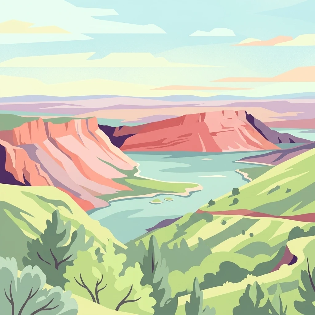
This collection maps the named natural features located within or directly adjacent to the expansive terrain of Flaming Gorge National Recreation Area. From the winding reservoir segments defined by the Green River to the iconic red sandstone cliff formations and high desert highlands, these records organize the area's geological and hydrological landmarks. Users can investigate individual features to understand their spatial relationship to the surrounding Ashley National Forest and regional canyon topography.
Connect Flaming Gorge National Recreation Area records with upland waters
Cliff, lake, and river records at Flaming Gorge National Recreation Area
Mapped river reaches and basin hydrology
Rivers
The river systems of Flaming Gorge National Recreation Area represent a vital component of its canyon and reservoir-dominated landscape. This curated collection provides a structured look at the major reaches and watercourses that traverse the recreation area, offering a geographic perspective on how these channels influence the regional terrain from Wyoming to Utah.
Explore the Geographic Boundaries and Terrain of Flaming Gorge National Recreation Area
Trace the winding reservoir shoreline and canyon geology that define this major protected area. Through the MoriAtlas data, visualize the intersection of forested uplands and desert cliffs that make this region a landmark of western geography and water-based protected landscapes.