Mori Atlas logo
Park earthquake history

Review recorded seismic events, magnitudes, and epicenter proximities within this wilderness region.

Documented Earthquake History for the Frank Church—River of No Return Wilderness in Idaho

This historical catalogue provides a filtered collection of recorded earthquake events associated with the Frank Church—River of No Return Wilderness. By examining the relationship between seismic records and the rugged mountainous landscape of central Idaho, observers can track documented ground movement patterns over time. The information includes event dates, measured magnitudes, and depth metrics to support detailed geographic and seismic exploration of the region.

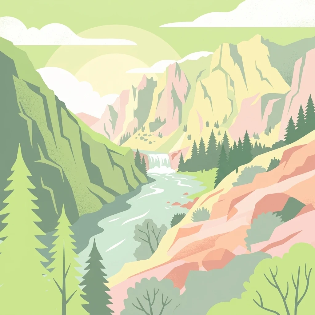
An artistic digital illustration of a deep river valley featuring steep rocky mountains, a river flowing through the center, a small waterfall, and evergreen forests.

Idaho's largest contiguous wilderness, anchored by the legendary Salmon River canyons.

Frank Church-River of No Return Wilderness

The Frank Church-River of No Return Wilderness is a vast federally protected wilderness in central Idaho, covering more than 2.3 million acres across portions of seven national forests and a sliver of Bureau of Land Management land. It is the largest contiguous wilderness area in the contiguous United States, a scale that places it among the most significant roadless landscapes in the lower 48 states. The wilderness spans multiple rugged mountain ranges, including the Salmon River Mountains, the Clearwater Mountains, and the Bighorn Crags, which are deeply incised by the steep canyons of the Middle Fork and Main Fork of the Salmon River. Coniferous forests dominate the uplands, while drier, open country lines the river corridors at lower elevations. The area safeguards some of the most intact wildlife habitat in the continental United States, supporting large predators, elk, deer, mountain goats, and reintroduced wolf populations. Beyond its ecological scale, the wilderness is renowned for the Salmon River itself, known as the "River of No Return" for its swift current and powerful rapids that effectively prevent upstream travel. Today it remains one of the premier whitewater rafting destinations in North America, while the surrounding backcountry continues to function as a nearly continuous block of unroaded national forest landscape.

Location
United States of America
Park type
Wildlife reserve
Established
1980
Area
9,578.2 km²
Frank Church—River of No Return Wilderness Atlas

Inspect Frank Church—River of No Return Wilderness event evidence

Earthquakes near Frank Church—River of No Return Wilderness

The Frank Church—River of No Return Wilderness catalogue positions reported epicentres around its vast Idaho mountain and river-canyon territory through calculated distance, without turning proximity into a wilderness-impact claim. Dates, magnitudes, depths, localities, sources, and boundary distances allow historical comparison while remaining separate from landscape cause, present hazard, and prediction.

Sort by
Magnitude
Location

This page describes catalogued earthquakes associated with the park by epicentre location and distance. It does not establish causation, assess current danger, or predict future earthquakes.

No earthquake records match the current filters

Park atlas

Beyond Frank Church—River of No Return Wilderness earthquake records

More parks after Frank Church—River of No Return Wilderness

The Frank Church—River of No Return Wilderness earthquake catalogue is followed by a separate park collection. It does not imply shared river landscapes, wilderness status, earthquake evidence, geological setting, proximity, seismic relevance, hazards, risk, or comparable record completeness.
Protected landscapeIdaho
Park boundaries overlap#1 closest

West

Payette National Forest: Geographic Overview of Idaho's Rugged Mountain Wilderness

Protected granite landscapes and glacial basin geography

Encompassing a vast portion of central Idaho, Payette National Forest represents a significant protected wilderness corridor. The forest geography transitions from granite-based alpine peaks and deep river gorges to dense coniferous slopes, providing essential habitat and extensive trail connectivity throughout the Northern Rockies.

Area
9,419.55 km²
Established
1944
Relief
Mountain
Access
Access unknown
Soft watercolor illustration of a rolling mountain landscape with a forested foreground and faded, distant peaks.
Protected landscapeIdaho
Park boundaries overlap#2 closest

East

Salmon, Challis National Forest: Geography and Protected Land Map in Central Idaho

Extensive alpine ridges and wild river corridors

Spanning over 4.2 million acres, Salmon, Challis National Forest is a foundational protected landscape in Idaho. This area includes the highest peaks in the state, such as Borah Peak, and holds the majority of the Frank Church, River of No Return Wilderness. Utilize this atlas resource to examine the intricate mountain topography, expansive river systems, and the contiguous wild corridors that define this significant portion of the northern Rockies.

Area
17,142.2 km²
Established
1908
Relief
Mountain
Climate
Temperate
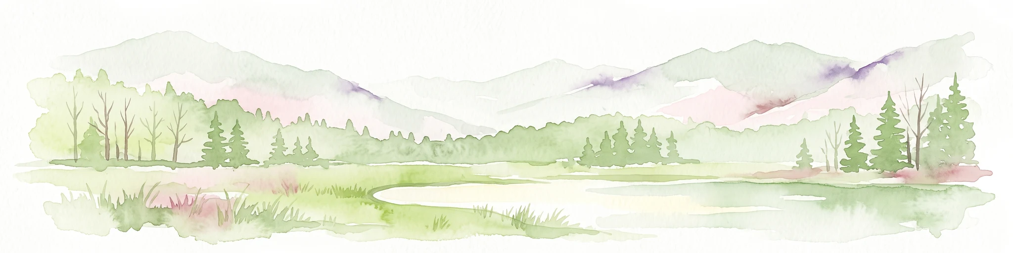
Watercolor painting of a calm lake surrounded by forested shores and distant mountains, depicted in soft pastel tones.
Protected landscapeIdaho
9.2 km away#3 closest

South

Sawtooth National Forest: Geographic Overview and Protected Mountain Boundaries

Central Idaho mountain systems and wilderness corridors

Spanning over two million acres, Sawtooth National Forest defines the heart of the Rocky Mountains in Idaho. This protected landscape contains a complex network of glacial basins, alpine lakes, and varied ecosystems ranging from arid sagebrush foothills to high-altitude peaks. Explore the internal boundaries, drainage systems, and structural geography of this significant wilderness area.

Area
8,540.52 km²
Established
1905
Visitors
1.2M annual
Relief
Mountain
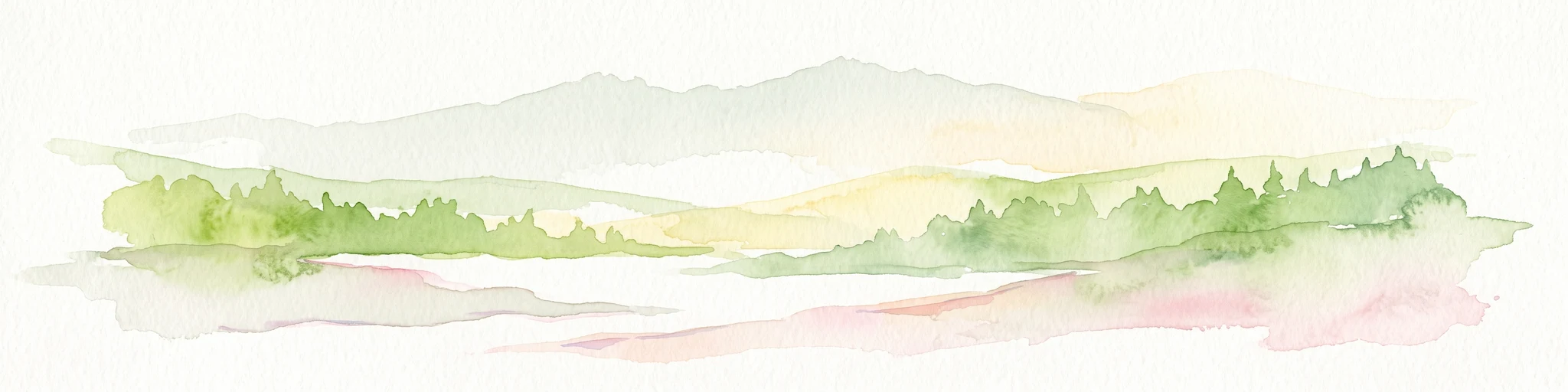
Watercolor painting of a tranquil lake surrounded by green forests and soft mountain ridgelines against a white background.
Protected landscapeIdaho
9.2 km away#4 closest

South

Sawtooth National Recreation Area: Mapping the Protected Landscape of Central Idaho

A vast mountain wilderness of granite peaks and glacier-carved lakes.

The Sawtooth National Recreation Area encompasses a quintessential northern Rocky Mountain terrain defined by the dramatic Sawtooth, White Cloud, and Boulder ranges. This protected landscape preserves over 700,000 acres of high-elevation wilderness, ranging from jagged granite arêtes to the broad, U-shaped Sawtooth Valley, serving as a critical hydrologic anchor for the rivers of the American West.

Area
2,957.7 km²
Established
1972
Relief
Mountain
Climate
Alpine
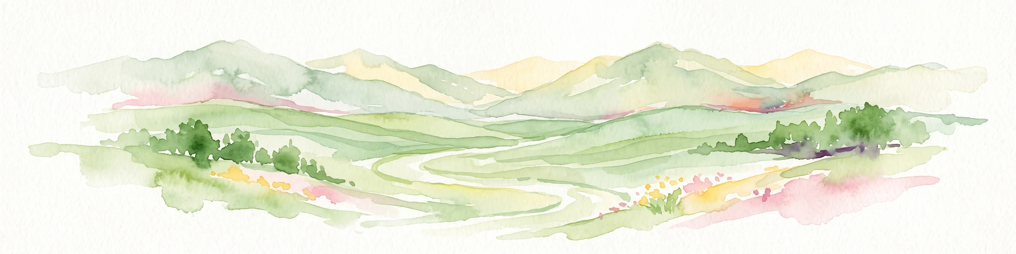
A watercolor painting of a wide, rolling landscape with green hills, a winding path or river, and soft mountains in the background against a white background.
Protected landscapeUnited States of America
37 km away#5 closest

Northwest

Hells Canyon National Recreation Area: Geologic Boundaries and Snake River Corridor Atlas

Deep canyon terrain and archaeological heritage in the American Northwest

This protected landscape encompasses the profound depth of the Snake River gorge, featuring rugged basalt cliffs and diverse forested uplands. The area serves as a significant intersection of natural history and ancient cultural presence, providing a detailed look at the topographic complexity defining the Oregon and Idaho boundary region.

Area
2,641 km²
Established
1975
Relief
Mountain
Climate
Temperate
Protected landscapeOregon
37 km away#6 closest

West

Wallowa-Whitman National Forest: A Geographic Overview of Northeastern Oregon Landscapes

Alpine wilderness, mountain ranges, and deep river gorges.

Wallowa-Whitman National Forest protects a vast, varied landscape of granite peaks, alpine meadows, and forested river canyons. This detailed overview covers the geographic significance of the Wallowa and Elkhorn mountains, the Hells Canyon corridor, and the surrounding wilderness regions within Oregon.

Area
9,682 km²
Established
1905
Visitors
505K annual
Relief
Mountain
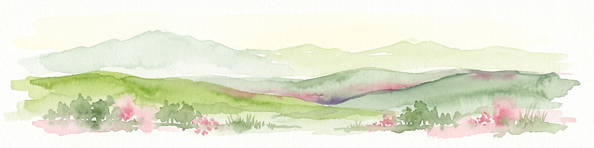
A soft watercolor painting of a mountain landscape with gentle green rolling hills, light green distant peaks, and scattered pink floral accents in the foreground against a white background.
Wildlife reserveIdaho
46 km away#7 closest

Southeast

Jim McClure, Jerry Peak Wilderness: Geography and Protected Landscape Map in Idaho

Mapping central Idaho's remote mountain backcountry

Investigate the high-elevation wilderness geography of Jim McClure, Jerry Peak. This protected area in Custer County sits within the Salmon-Challis landscape, featuring a rugged mix of mountain peaks, dense coniferous forests, and remote drainages that define the character of the American West.

Area
473.07 km²
Established
2015
IUCN
Ib
Relief
Mountain
Protected areaMontana
86 km away#8 closest

North

Lolo National Forest: An Atlas of Protected Lands and Mountainous Terrain in Montana

Ecological transition zone of the northern Rocky Mountains

This protected area covers two million acres of diverse northern Rocky Mountain geography. Known for its massive western red cedars and transitional ecology, the forest features a complex network of ridgelines, glacial lake basins, and river corridors that serve as vital habitat across the Montana landscape.

Area
8,894.85 km²
Established
1906
Relief
Mountain
Climate
Temperate
MoriAtlas Explorer

Explore the Mapped Landscapes of Frank Church—River of No Return Wilderness

Continue your geographic discovery by analyzing the vast mountain terrain and protected river corridors of the Frank Church—River of No Return Wilderness. This MoriAtlas destination provides deep context into the wilderness boundaries and the unique topography of Idaho's most significant roadless reserve. Gain a clearer understanding of how these protected lands are shaped by regional geography and long-standing natural river systems.