
Mori Atlas logo
Park guides

Resource library focused on seasonal timing and geography for the Freycinet Peninsula

Freycinet National Park: Official Guide Collection for Coastal and Peninsula Planning

Access a structured collection of thematic resources for Freycinet National Park, centered on seasonal visitor information and regional geographic context. These guides examine the environmental patterns of this Tasmanian coastal landscape, assisting with preparation for visits to granite peaks and sheltered bays.

Related tags

coastal national parkgranite mountainsTasmanian wildernessbirdwatchingwhale watching

Tasmania's oldest national park protecting dramatic pink granite peaks and pristine coastal wilderness

Freycinet National Park

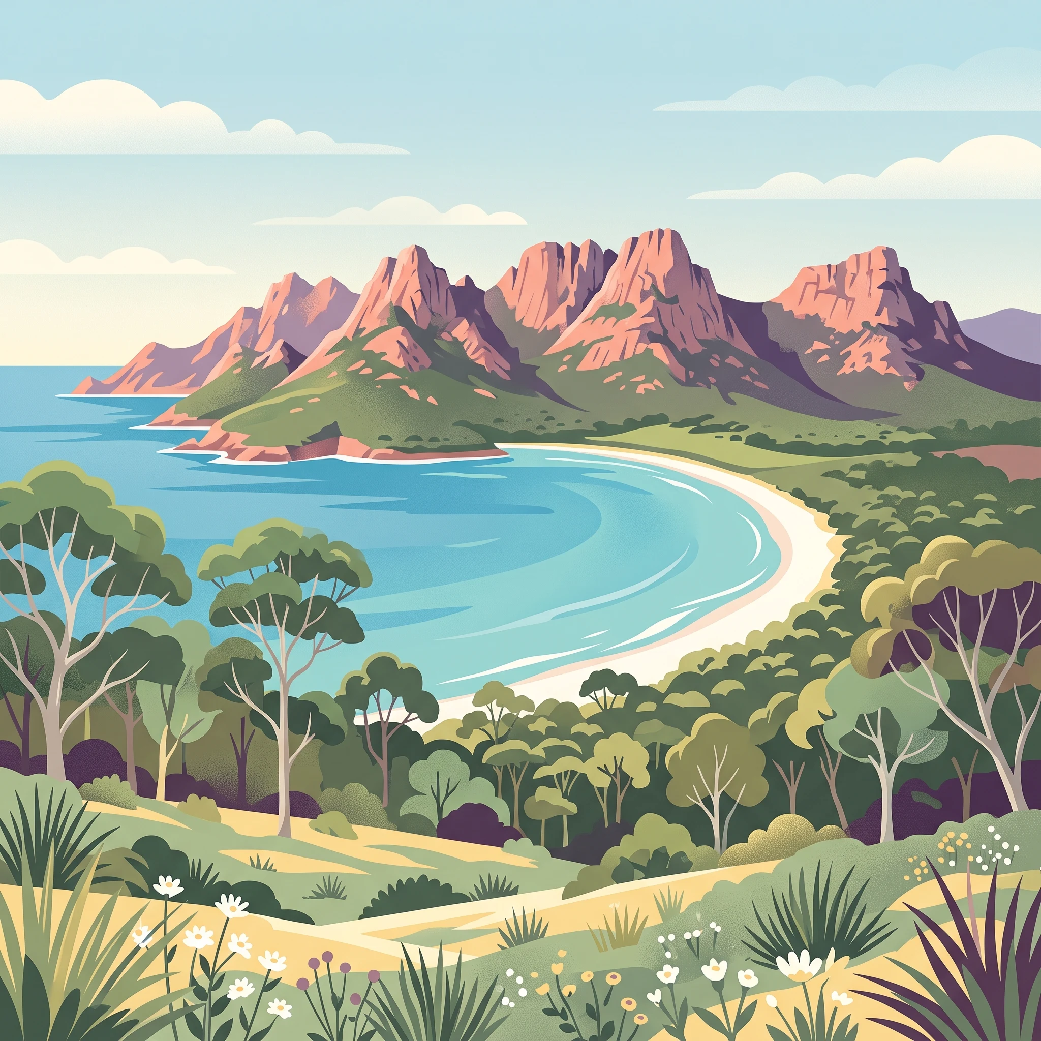
Freycinet National Park represents one of Tasmania's most significant protected landscapes, encompassing a dramatic coastal environment that has drawn visitors and researchers alike for over a century. The park occupies virtually the entire Freycinet Peninsula, a landform shaped by ancient geological processes that produced the distinctive pink and red granite formations visible throughout the area. This peninsula, named in honour of French explorer Louis de Freycinet, extends into the Tasman Sea and includes Schouten Island, adding marine and island environments to the protected area. The landscape presents a remarkable contrast between the sharp granite peaks of The Hazards and the sheltered coves, beaches, and wetlands that fringe the coastline. The park's establishment in 1916 marked a pivotal moment in Tasmanian conservation history, establishing a precedent for the protection of the state's unique natural landscapes. Today, Freycinet continues to serve as a living laboratory for ecological research while providing exceptional outdoor recreation opportunities. The park's significance extends beyond its borders, contributing substantially to the economy of eastern Tasmania through tourism while maintaining its core conservation mandate. Large sections of the park remain in a relatively undisturbed state, with catchments and wilderness areas protected from development, allowing natural ecological processes to continue with minimal human interference.

Location
Australia
Park type
National park
Established
1916
Area
169 km²
Freycinet National Park protected landscape atlas
1 guide

Compare thematic resources addressing optimal seasonal timing and visitor volumes

Published Guide Collection for Freycinet National Park Terrain

Complete published documentation for Freycinet National Park addresses specific visitor planning inquiries through focused thematic coverage. Resources analyze optimal seasonal timing, shoulder period temperatures, and peak visitation patterns to match individual travel questions.
MoriAtlas Explorer

Continue Exploring Freycinet National Park's Geographic Context and Mapped Terrain

Delve deeper into the protected landscape of Freycinet National Park by understanding its unique geological features, coastal geography, and mapped terrain. This detailed view supports comprehensive atlas exploration of Tasmania's natural heritage and offers insights into the park's role within the broader protected areas of Australia.