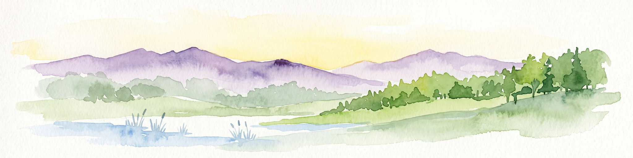

Why Füllbruch-Vokkenau stands out
Füllbruch-Vokkenau is best known as a finely structured fragment of lowland floodplain forest mosaic, where wet woodland, meadows, orchard meadows, gardens, and a dense network of small water channels coexist inside a single protected perimeter. Its setting within the historical Kinzig-Murg-Rinne gives the area a distinctive character shaped by former river dynamics and ongoing flood retention. It is also notable for combining ecological and hydraulic functions: the broader Füllbruch area is used as a deliberate flood-retention basin for the Pfinz river, making it a place where landscape protection and active water management are tightly linked.
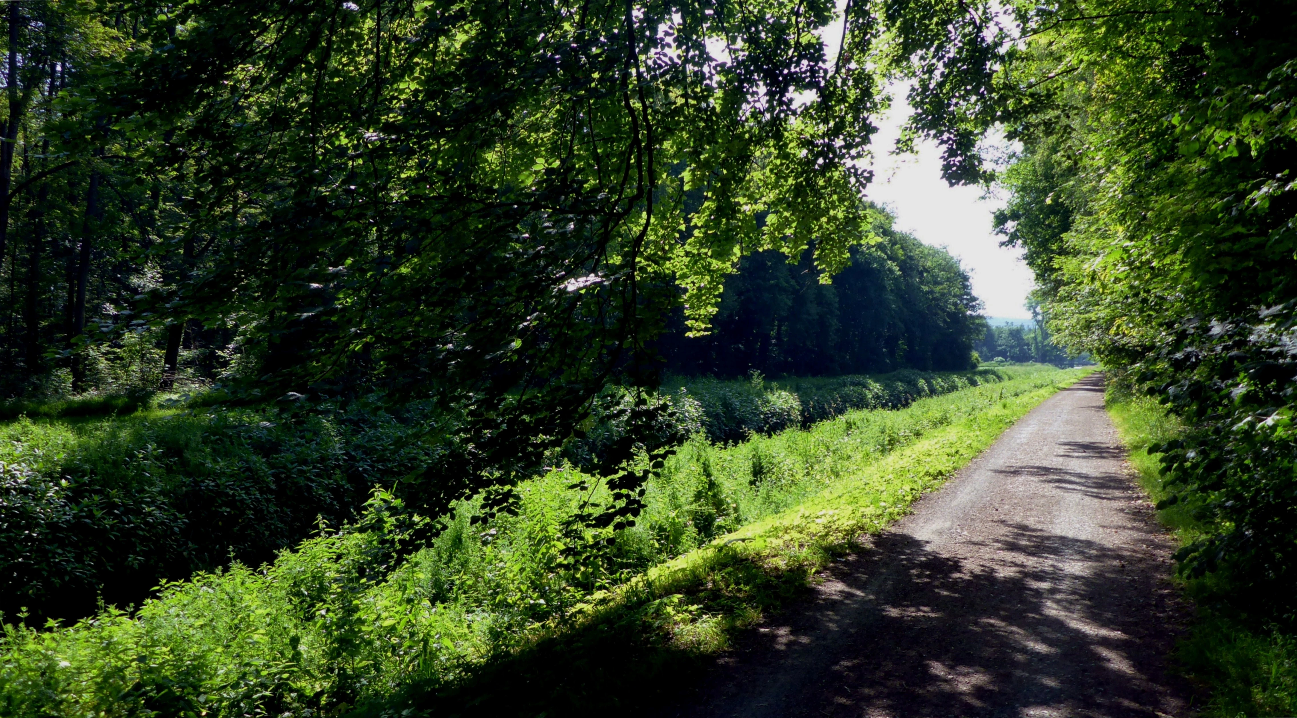
Füllbruch-Vokkenau history and protected-area timeline
The landscape protection status of Füllbruch-Vokkenau was established on 9 January 1988, placing the area formally under the German Landschaftsschutzgebiet framework and registering it under IUCN Category V as a Protected Landscape/Seascape. The site has carried the protection-area number 2.12.010 in the Baden-Württemberg register since then, with corresponding World Database on Protected Areas entry 320929.
The place names inside the area, however, are considerably older than its formal protection. Both Füllbruch and Vokkenau can be traced back to the 16th century, when the territory belonged to the city of Durlach. The name Vokkenau, also written Vockenau or Fockenau, is thought to derive from the Old German personal name Focko. Füllbruch is interpreted as a reference to Fohlen, meaning foals or young horses, and points to a long-standing function of the area as grazing land for Durlach's livestock.
Agricultural and pastoral use of the Füllbruch area continued into the 19th century, and traces of that mixed forest-and-pasture history are still visible in the present-day mosaic of woodland, meadows, orchard meadows, fields, and gardens. The construction of the Pfinz-Entlastungskanal and related water-management features later added an engineered hydraulic layer to the landscape, culminating in the Retentionsraum Oberfüllbruch as a floodwater retention basin for the Pfinz.
Füllbruch-Vokkenau landscape and geographic character
Füllbruch-Vokkenau occupies a low-elevation position within the Karlsruhe part of the Upper Rhine Plain, set inside the historical channel of the Kinzig-Murg-Rinne. The terrain is broadly flat and shaped by former river activity, which is why wet soils, marshy pockets, and slow-moving channels dominate much of the surface.
The most visible water feature is the Pfinz-Entlastungskanal, a straightened flood-relief canal that runs through the area. Alongside it, the Alte Bach, the Pfinz itself, the Gießbach, the Beungraben, and the Weidgraben form a dense drainage network that crosses both forest and open ground.
Around these waterways, the vegetation mosaic alternates between closed wet woodland, including alder floodplain forest and mixed alder-ash-hornbeam stands, and the more open Vokkenau with meadows, orchard meadows, fields, and gardens. In the north, the stricter Schonwald Füllbruch overlaps the area, reinforcing the forest character there. To the southwest, the Karlsruhe neighborhood of Reitschulschlag borders the area, while the Bundesautobahn 5 crosses the landscape, framing the protected zone between urban edge and transport corridor.
Füllbruch-Vokkenau ecosystems, habitats, and plant life
The ecological character of Füllbruch-Vokkenau is built on the interplay between waterlogged soils and a long history of mixed human use. The wet woodland fraction is dominated by alder-dominated Erlenbruchwald, with additional alder and ash communities and hornbeam-rich stands, all of which depend on the persistently high groundwater typical of floodplain settings. The presence of mature trees and varied canopy layers gives these forest patches considerable structural complexity within a relatively small area.
The open-land fraction in the Vokkenau brings contrast and habitat diversity to the area. Permanent grassland, traditional orchard meadows with scattered fruit trees, cultivated field margins, and small allotment-style gardens create a transitional zone between the dense wet forest and the surrounding urban settlement.
The dense watercourse network, including the Pfinz and its relief canal, the Alte Bach, the Gießbach, the Beungraben, and the Weidgraben, supports this mosaic by maintaining moisture levels and providing habitat structures such as shaded channels, vegetated banks, and small open-water stretches. The Retentionsraum Oberfüllbruch adds a managed floodplain dynamic that periodically inundates parts of the area, reinforcing the floodplain ecology on which the Bruchwald vegetation depends.
Füllbruch-Vokkenau wildlife and species highlights
Füllbruch-Vokkenau supports the kind of wildlife community associated with central European lowland floodplain forests and traditional mosaic countryside. Alder and ash floodplain woodland, bordered by meadows, orchard meadows, fields, and small gardens, provides habitat for woodland birds, small mammals, and invertebrates tied to damp, structurally diverse vegetation.
The dense network of channels, including the Pfinz and the Pfinz-Entlastungskanal as well as smaller streams such as the Alte Bach and the Gießbach, gives the area wetland habitat for amphibians, aquatic invertebrates, and water-associated bird species. The periodic flooding of the Retentionsraum Oberfüllbruch adds temporary open-water and mudflat habitat during high-water episodes.
The orchard meadows in the Vokkenau, with their older fruit trees and partly extensive management, contribute additional habitat value for cavity-nesting birds and other species that depend on older trees and semi-open landscape structure.
Füllbruch-Vokkenau conservation status and protection priorities
Füllbruch-Vokkenau has held formal landscape protection status since 9 January 1988 and sits within the wider Bruchwald system of the Kinzig-Murg-Rinne, one of the historically important lowland floodplain corridors of the Upper Rhine region. The protection designation is meant to preserve the mix of wet forest, meadows, orchard meadows, fields, gardens, and small watercourses that would otherwise be vulnerable to urban expansion, agricultural intensification, or infrastructure pressure.
A distinctive aspect of the site is that conservation and water management operate together. The Retentionsraum Oberfüllbruch, which covers much of the Füllbruch, is explicitly designed to hold back floodwater from the Pfinz, and this controlled flooding also helps maintain the hydrological conditions on which the floodplain forest depends. The northern part of the area additionally falls within the stricter Schonwald Füllbruch designation, layering a higher level of forest protection on top of the broader landscape protection.
Füllbruch-Vokkenau cultural meaning and human context
The cultural dimension of Füllbruch-Vokkenau is closely tied to the long agricultural history of the Durlach area. Place names such as Füllbruch and Vokkenau date back to the 16th century and reflect traditional uses of the land, with Füllbruch in particular being interpreted as a reference to foals and the area's older role as a grazing ground for the city's livestock.
The pattern of meadows, orchard meadows (Streuobstwiesen), cultivated fields, and gardens that still occupies the Vokkenau continues this mixed-use tradition into the present. The presence of the Bundesautobahn 5 cutting through the area and the proximity of settlements such as Hagsfeld's Reitschulschlag to the southwest also reflect the way the protected landscape now sits within a densely inhabited urban region.
Top sights and standout views in Füllbruch-Vokkenau
The strongest features of Füllbruch-Vokkenau are the tight juxtaposition of wet alder-ash-hornbeam floodplain forest with the open country mosaic of the Vokkenau, and the dense weave of natural and engineered channels, including the Pfinz and the Pfinz-Entlastungskanal, that tie the area together. The overlap with the Schonwald Füllbruch in the north gives part of the area stricter forest protection than a typical Landschaftsschutzgebiet, while the Retentionsraum Oberfüllbruch adds a meaningful flood-retention function for the Pfinz.