
Mori Atlas logo
Park guides

Seasonal context for British Columbia's glaciers and volcanic peaks

Garibaldi Provincial Park seasonal planning guide for British Columbia

Use Garibaldi Provincial Park's guides for glaciers, volcanic peaks, alpine lakes, meadows, and coastal forest. The timing guide identifies mid-July through early September for mostly melted high-country snow and accessible trails while explaining rapid weather changes and lingering snow in shoulder seasons.

Related tags

wilderness parkalpine parkvolcanic landscapeglacial landscapemountain park

A wilderness park of volcanic peaks, glacial lakes, and coastal forest in British Columbia.

Garibaldi Provincial Park

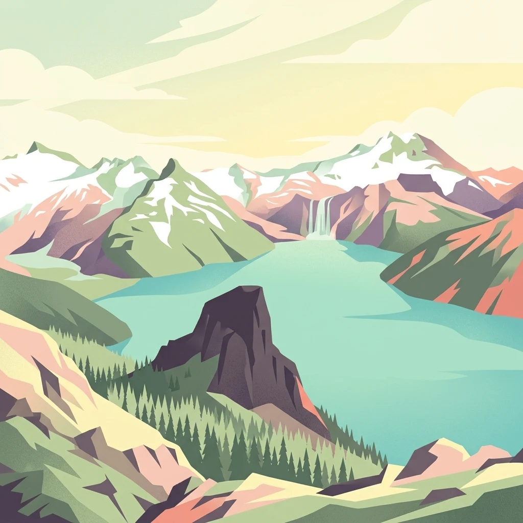
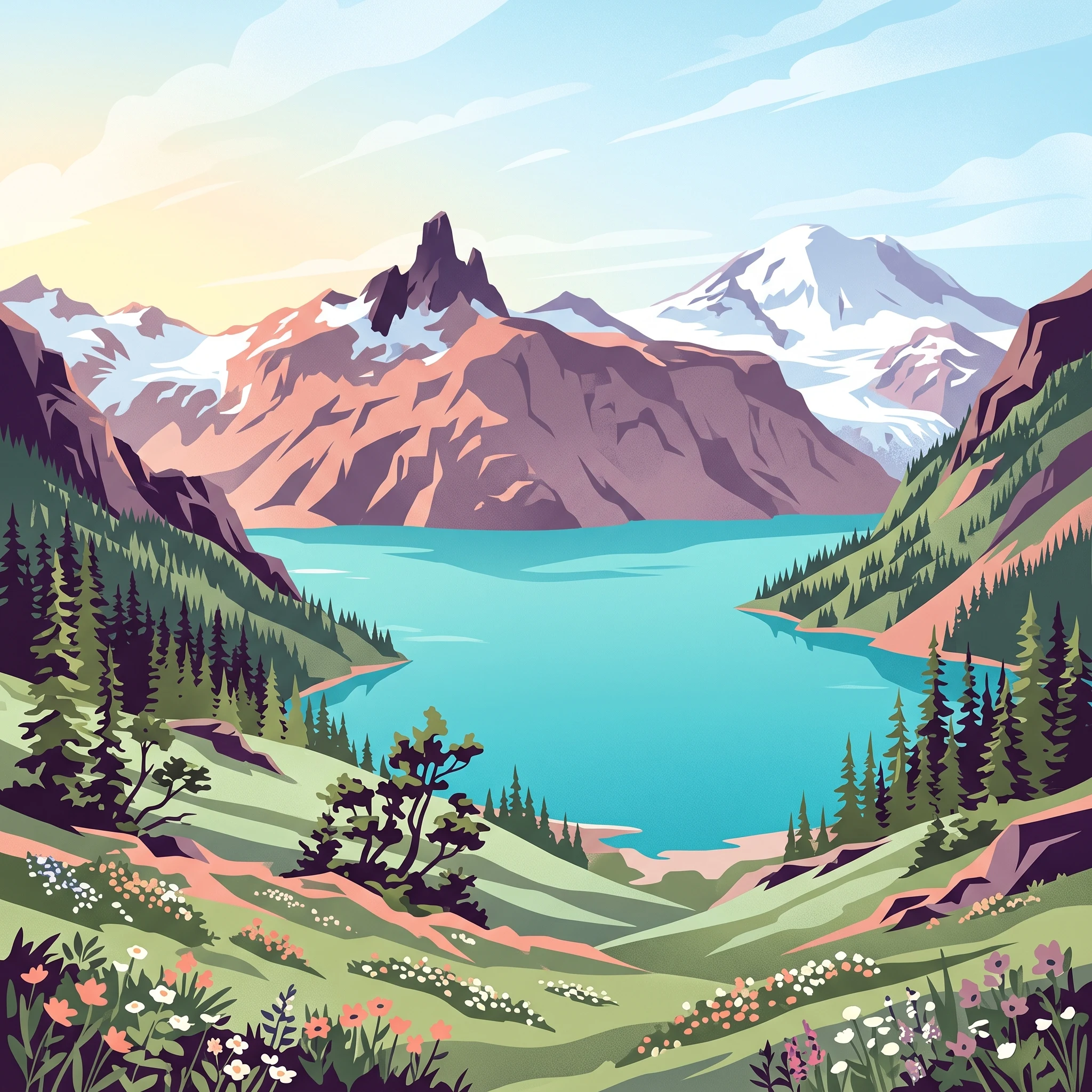
Garibaldi Provincial Park is one of the defining protected landscapes of coastal British Columbia, stretching across the heart of the Garibaldi Range between the Sea to Sky Corridor and the more remote eastern slopes. Its landscape is the product of two powerful geological forces: Quaternary continental and alpine glaciation that carved the rugged terrain and continues to feed the park's rivers and lakes today, and volcanism associated with the Garibaldi Volcanic Belt that produced the stratovolcanoes, cinder cones, and lava dams defining much of the scenery. The centerpiece of the park is the Garibaldi Lake area, where a turquoise glacial lake is impounded by a natural lava dam known as The Barrier. Around it rise iconic peaks including Mount Garibaldi, The Black Tusk, Mount Price, and The Table, alongside expansive icefields such as the Garibaldi Névé and the Mamquam Icefield. Wedge Mountain, the highest point in the park at nearly 2,900 metres, anchors the more remote northern and eastern wilderness. Together, these features create a layered scene of jagged summits, deep alpine basins, and glacier-fed lakes that has become emblematic of British Columbia's interior-coastal mountain country. Garibaldi Park is also culturally significant. The mountains and valleys within its boundaries are tied to the traditional territories and oral histories of the Squamish and Lil'wat peoples, for whom peaks such as Mount Garibaldi and The Black Tusk are important landmarks with deep mythological meaning. Today, the park balances its role as a wilderness protector with its identity as one of British Columbia's premier hiking destinations, offering everything from short lake walks to demanding alpine ridges, mountaineering routes, and multi-day backcountry journeys.

Location
Canada
Park type
State or regional park
Established
1920
Area
1,950 km²
Highest point
2,891 m
Garibaldi Provincial Park Geography and Atlas
1 guide

Compare available seasonal planning resources for alpine hiking

Garibaldi Provincial Park Published Guide Collection and Topic Directory

Published destination resources for Garibaldi Provincial Park focus on seasonal planning and optimal visiting windows for alpine terrain. Readers can evaluate specific timing considerations for mid-summer access and shoulder season preparation.
MoriAtlas Explorer

Examine the Mapped Landscapes and Glacial Terrain of Garibaldi Provincial Park

Continue exploring the intricate geography and protected wilderness features of Garibaldi Provincial Park. Through the MoriAtlas database, gain deeper insights into the volcanic summits, icefields, and alpine lake networks that define this vital British Columbia landscape.