
Mori Atlas logo
Park guides

Available thematic resources for Nigeria's largest protected area and its montane landscapes.

Gashaka Gumti National Park Thematic Guide Collection and Geographic Resources

Access curated thematic guides for Gashaka Gumti National Park, encompassing expert insights on seasonal timing and regional environmental conditions. These resources provide essential context for understanding the geography, mountain terrain, and ecological characteristics of Nigeria's largest national park as it stretches across Taraba State.

Related tags

National ParkMountainous TerrainMontane ForestSavannaImportant Bird Area

Nigeria's largest protected area spanning savanna highlands and montane forests

Gashaka Gumti National Park

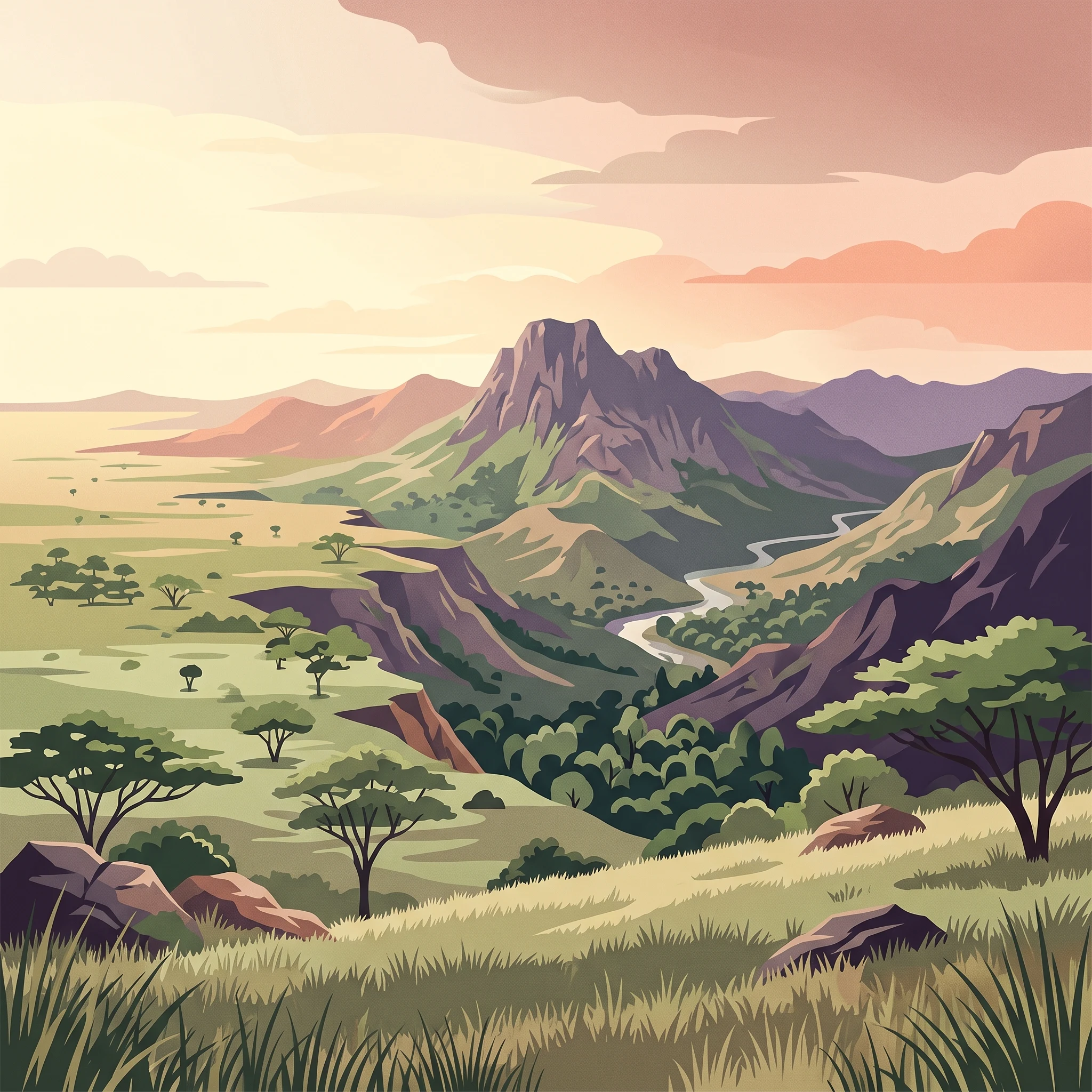
Gashaka Gumti National Park represents Nigeria's most significant protected area and one of West Africa's most important conservation landscapes. Located in the country's eastern border regions spanning Taraba and Adamawa States, the park encompasses a dramatic mosaic of ecosystems that transition from flat savanna plains in the north to some of Nigeria's most rugged mountainous terrain in the south. The park's establishment in 1991 marked the culmination of decades of conservation advocacy, building upon earlier game reserve designations from 1972 that sought to protect the region's rich biodiversity and critical watershed functions. The park's ecological significance extends beyond its borders as a vital catchment area for the Benue River, Nigeria's largest tributary system, ensuring water security for downstream communities and agricultural areas. The protection of this landscape addresses multiple conservation imperatives, from preserving viable populations of large mammals and primates to maintaining the forest cover that regulates water flow across seasonal cycles. Management of the park is conducted through partnership between the Nigerian Conservation Foundation and state wildlife authorities, working to balance conservation objectives with the needs of communities who inhabit enclaves within the park boundary. The park's position along the Cameroon border places it within a transboundary conservation context, supporting broader efforts to protect Afromontane forest ecosystems that span the regional highlands.

Location
Nigeria
Park type
National park
Established
1991
Area
6,402 km²
Highest point
2,419 m
Gashaka Gumti National Park Atlas
1 guide

Compare focused reference topics for planning targeted park inquiries

Published Guides and Thematic Resources for Gashaka Gumti National Park

Complete published reference materials for Gashaka Gumti National Park provide targeted insight into seasonal timing and environmental conditions. Reviewing specific visitor timing resources helps align travel dates with optimal weather periods for wildlife observation and terrain exploration.
MoriAtlas Explorer

Continue Exploring the Protected Landscapes of Gashaka Gumti National Park

Deepen your understanding of the complex terrain found within Gashaka Gumti National Park. MoriAtlas provides a clear view of these vast protected boundaries, mapping the transition from northern savanna ecosystems to the dramatic mountain ranges of the south for a comprehensive geographic perspective.

Global natural geography