Why Gashaka Gumti National Park stands out
Gashaka Gumti is most notable for its exceptional biodiversity and status as Nigeria's premier primate habitat. The park holds the largest population of common chimpanzees in Nigeria and supports a remarkable assemblage of over 103 mammal species including African bush elephants, African wild dogs, leopards, lions, and populations of giant elands and roan antelope. The park is recognized as an Important Bird Area with more than 500 bird species recorded, including the red-faced lovebird found nowhere else in Nigeria. The southern montane forests harbor unique plant species including the newly discovered red sunbird bush, while the dramatic landscapes around Chappal Waddi offer Nigeria's highest summit and rugged highland environments rarely found elsewhere in the country.
Gashaka Gumti National Park history and protected-area timeline
The foundation for Gashaka Gumti National Park was laid in the late 1960s when growing recognition of the region's biodiversity value prompted systematic conservation planning. A 1966 land systems survey conducted by Mike Bawden and Paul Tuley highlighted the urgent need to protect the forested mountain watersheds that supplied the Taraba River, establishing the ecological rationale for protected area status. A 1969 assessment by a United Nations Food and Agriculture Organization wildlife expert recommended creation of a game reserve or national park to safeguard local wildlife resources, coinciding with Nigeria's post-independence prioritization of natural resource management. In 1972, the Government of the North-East State established three game sanctuaries at Serti, Gashaka, and Gumti through collaboration with local governments and traditional chiefs, marking the first formal protection for the area. The park faced significant challenges during the economic difficulties of the early 1980s when conservation budgets were drastically reduced, leading to infrastructure decline and reduced patrolling capacity. A devastating rinderpest outbreak in 1983-84 decimated ungulate populations and triggered increased poaching pressure. The late 1980s brought renewed support through the Department for International Development and advocacy from the Nigerian Conservation Foundation, which identified eleven key reasons for national park designation ranging from watershed protection to ecotourism potential. In 1991, Gashaka Gumti National Park was officially established under new legislation, with management responsibilities shared between the Nigerian Conservation Foundation and state wildlife authorities.
Gashaka Gumti National Park landscape and geographic character
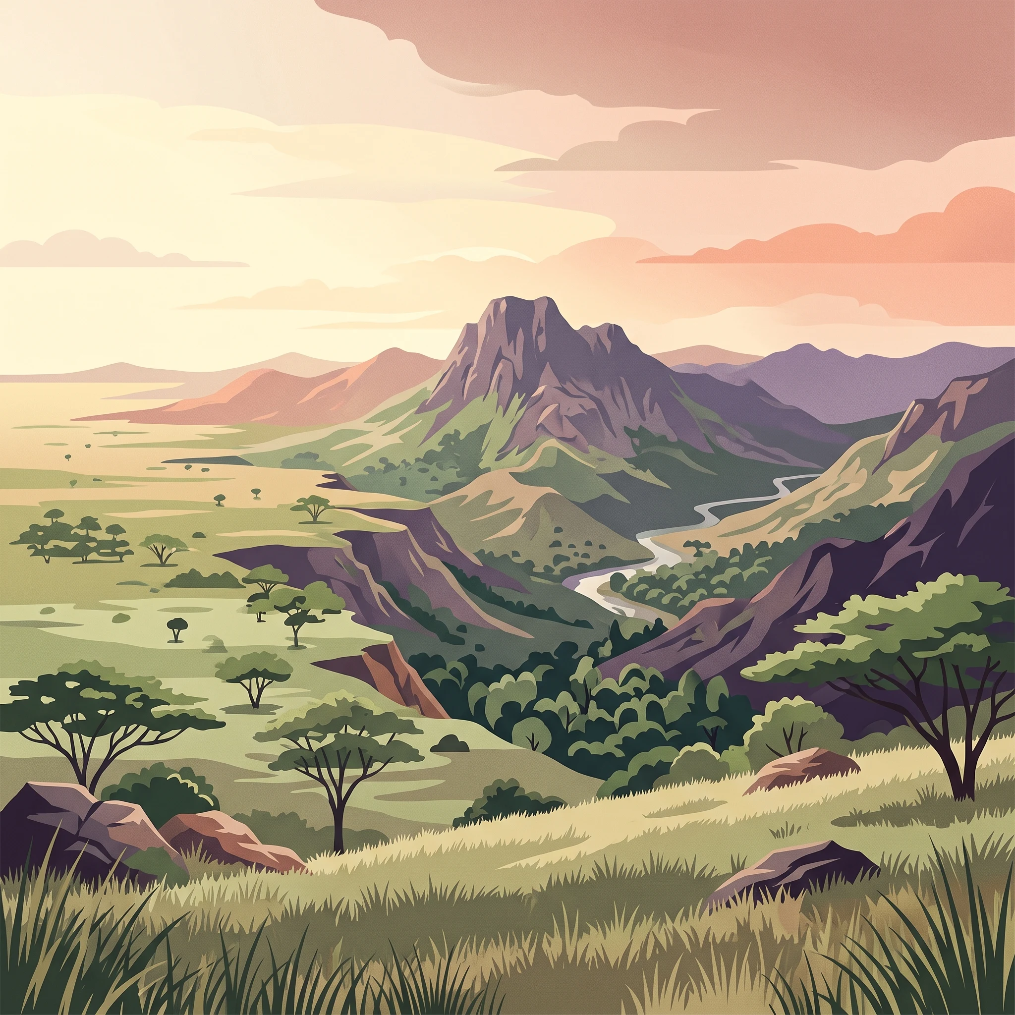
The physical landscape of Gashaka Gumti National Park exhibits dramatic variation across its extensive area, creating distinct environmental zones that support different ecological communities. The northern sector presents a relatively flat terrain of savanna grassland characterized by broad leaved woodlands and scattered acacia species, providing open scenery that contrasts sharply with the southern highlands. The southern portion of the park transforms into rugged mountain terrain dominated by very steep slopes, deep valleys, and dramatic gorges that cut through the landscape. This mountainous area contains montane forest ecosystems that develop at higher elevations, creating a vertical zonation of vegetation types across relatively short horizontal distances. Chappal Waddi, Nigeria's highest mountain, rises to 2,419 meters within the park's southern sections, offering dramatic summit views and representing a significant geographical landmark for the nation. The park's hydrological importance derives from its function as a catchment area for the Benue River system, with abundant river flow maintained even during the marked dry season, supporting both ecological processes and human water needs downstream.
Gashaka Gumti National Park ecosystems, habitats, and plant life
The ecological character of Gashaka Gumti spans multiple distinct habitat types that together create one of West Africa's most biodiverse protected landscapes. The northern savanna zone supports grassland and woodland communities dominated by species such as Acacia, Afzelia africana, Khaya senegalensis, and Isoberlinia doka, creating habitat for savanna-adapted wildlife including various antelope species and grassland birds. The southern highlands support montane forest ecosystems characterized by different tree species including Triplochiton scleroxylon and Symphonia globulifera, with forest patches extending into higher elevations where unique microclimates support specialized plant communities. A notable botanical discovery occurred in 2002 when an isolated population of the red sunbird bush was identified in the Leinde Fadale forest, representing a significant range extension for this ornate acanthus family species found at 1,600 to 1,670 meters elevation. The park's position and diverse habitats contribute to its role as a critical watershed area, with forest cover and vegetation communities playing essential functions in water regulation and soil conservation across the Benue River catchment.
Gashaka Gumti National Park wildlife and species highlights
Gashaka Gumti supports exceptional mammalian biodiversity with 103 species recorded within park boundaries, representing one of the most diverse faunal assemblages in Nigeria. The park holds particular significance for primate conservation as it contains the largest population of common chimpanzees in Nigeria, supported by the Gashaka Primate Project that works to protect these endangered populations. Large mammals are well represented, with populations of African bush elephants, African buffalo, giant elands, roan antelope, hartebeests, and various antelope species including kob, oribi, and the rare mountain reedbuck. Predator species include lions, leopards, and African wild dogs, maintaining ecological balance within the park's trophic systems. The bird fauna is exceptionally rich with over 500 species recorded and population estimates reaching one million individual birds, earning the park designation as an Important Bird Area. The red-faced lovebird represents a particularly significant finding, being found in Nigeria only within this park and otherwise restricted to the Bamingui-Bangoran National Park in the Central African Republic.
Gashaka Gumti National Park conservation status and protection priorities
Gashaka Gumti National Park faces significant conservation challenges despite its protected status and ecological importance. Illegal logging, particularly for rosewood (pterocarpus erinaceous), has emerged as a serious threat since the species' discovery in the region around 2014-2015, with loggers responsible for the deaths of at least nine park rangers in recent years. Additional pressures include illegal grazing within the park boundary, poaching, and broader insecurity affecting the northeastern region of Nigeria. The park management works with traditional leaders and local communities to address these threats, with commemorations of World Rangers Day honoring those who have died in service of conservation. The establishment of the Gashaka Primate Project demonstrates targeted conservation action for specific species, while the park's Important Bird Area designation recognizes its continental significance for avian conservation. Watershed protection remains a core conservation function, with the park's forest cover essential for maintaining water security downstream.
Gashaka Gumti National Park cultural meaning and human context
Gashaka Gumti National Park exists within a landscape shaped by human communities whose presence predates formal protected area designation. Fulani pastoralist communities maintain enclaves within the park boundary where they practice traditional grazing and farming activities, representing a long-standing relationship between local populations and the land. Approximately 25 communities reside in the immediate surroundings of the park, creating interfaces where human activities and wildlife conservation intersect. Traditional leadership, including the Lamdo Gashaka, plays important roles in mobilizing local support for conservation and addressing conflicts between community needs and protection objectives. The park contains historical sites of colonial-era significance, including the German Forte representing pre-colonial European presence in the region. Tourism activities including cultural interpretation through the park museum and engagement with local communities contribute to the economic value of the park for surrounding populations.
Top sights and standout views in Gashaka Gumti National Park
Gashaka Gumti offers diverse attractions spanning wildlife viewing, landscape exploration, and cultural heritage. The Hippo Pool provides opportunities to observe hippos in their natural habitat, while the primate watching program showcases chimpanzee populations that represent Nigeria's most significant primate stronghold. The park's status as an Important Bird Area makes birdwatching a major draw, with over 500 species including the endemic red-faced lovebird. The Mayo Kam River supports sport fishing activities during the dry season, and the Kiri Waterfall offers scenic beauty in the northern sector. Mountaineering opportunities at Chappal Waddi provide access to Nigeria's highest summit, while the German Forte and GGNP Museum connect visitors to historical and cultural narratives. The German Forte, a historic pre-colonial German fort, adds historical depth to the visitor experience, complementing natural attractions with cultural exploration opportunities.
Best time to visit Gashaka Gumti National Park
Gashaka Gumti National Park can be visited throughout the year, though certain periods offer more favorable conditions for specific activities. The climate data indicates that January, February, June, July, August, September, October, November, and December are widely considered peak visitation periods, with the park experiencing a steppe climate characterized by minimal precipitation for much of the year. The wet season peaks in August with approximately 130mm of rainfall, creating lush green conditions but potentially restricting some access. The dry season from November through April offers easier movement through the park and clearer visibility for wildlife viewing, though water sources become more concentrated and wildlife may be easier to locate around remaining water points. Temperature ranges from mild minimums around 16°C in January to maximums reaching 38°C in April and May, with the cooler highland areas in the south providing refuge from peak heat.