
Why George Washington and Jefferson National Forests stands out
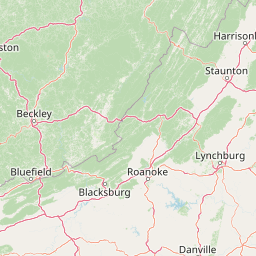
The George Washington and Jefferson National Forests are best known for protecting a vast Appalachian landscape of ridges, hollows, and old-growth forest in one of the most heavily populated regions of the country. Their scale, more than 1.8 million acres, makes them a rare large continuous forest block in the eastern U.S. They are also notable for their outdoor recreation infrastructure, particularly the long-distance routes that cross them. The Appalachian Trail runs through the forests for more than 300 miles, the Blue Ridge Parkway passes through the northern portion, and the area hosts major trail-running events like the Massanutten Mountain Trails 100 miler. Virginia's highest point, Mount Rogers, plus the deepest gorge east of the Mississippi River at Breaks Interstate Park, add distinctive geographic landmarks to the forest's profile.
George Washington and Jefferson National Forests history and protected-area timeline
George Washington National Forest was first established on May 16, 1918, as the Shenandoah National Forest. It was renamed after George Washington in 1932 and later expanded through the addition of Natural Bridge National Forest in 1933. Jefferson National Forest was created in 1936 by merging portions of Unaka and George Washington National Forests with other lands, eventually becoming a separate entity to the south of the James River.
A defining moment in the early life of these forests came with the Civilian Conservation Corps. Camp Roosevelt, the first CCC camp in the nation (designated NF-1), was established in what is now the George Washington National Forest near Luray, Virginia, and the Camp Roosevelt Recreation Area still commemorates that history.
In 1995, the U.S. Forest Service administratively combined George Washington and Jefferson National Forests into a single operating unit, although the two forests retain distinct identities and management histories. The combined forest is administered from a headquarters in Roanoke, Virginia, and operates through a network of ranger districts running from the northern Shenandoah Valley south to the Cumberland Mountains.
More recent chapters in the forests' history have included controversy over infrastructure crossing the landscape. Between 2018 and 2019, protests near Peters Mountain sought to block the Mountain Valley Pipeline, a natural gas project that runs through Jefferson National Forest and crosses the Appalachian Trail. Separately, in 2023, a small private aircraft that had strayed into restricted Washington, D.C., airspace crashed in the forest after F-16 interception; there were no survivors.
George Washington and Jefferson National Forests landscape and geographic character
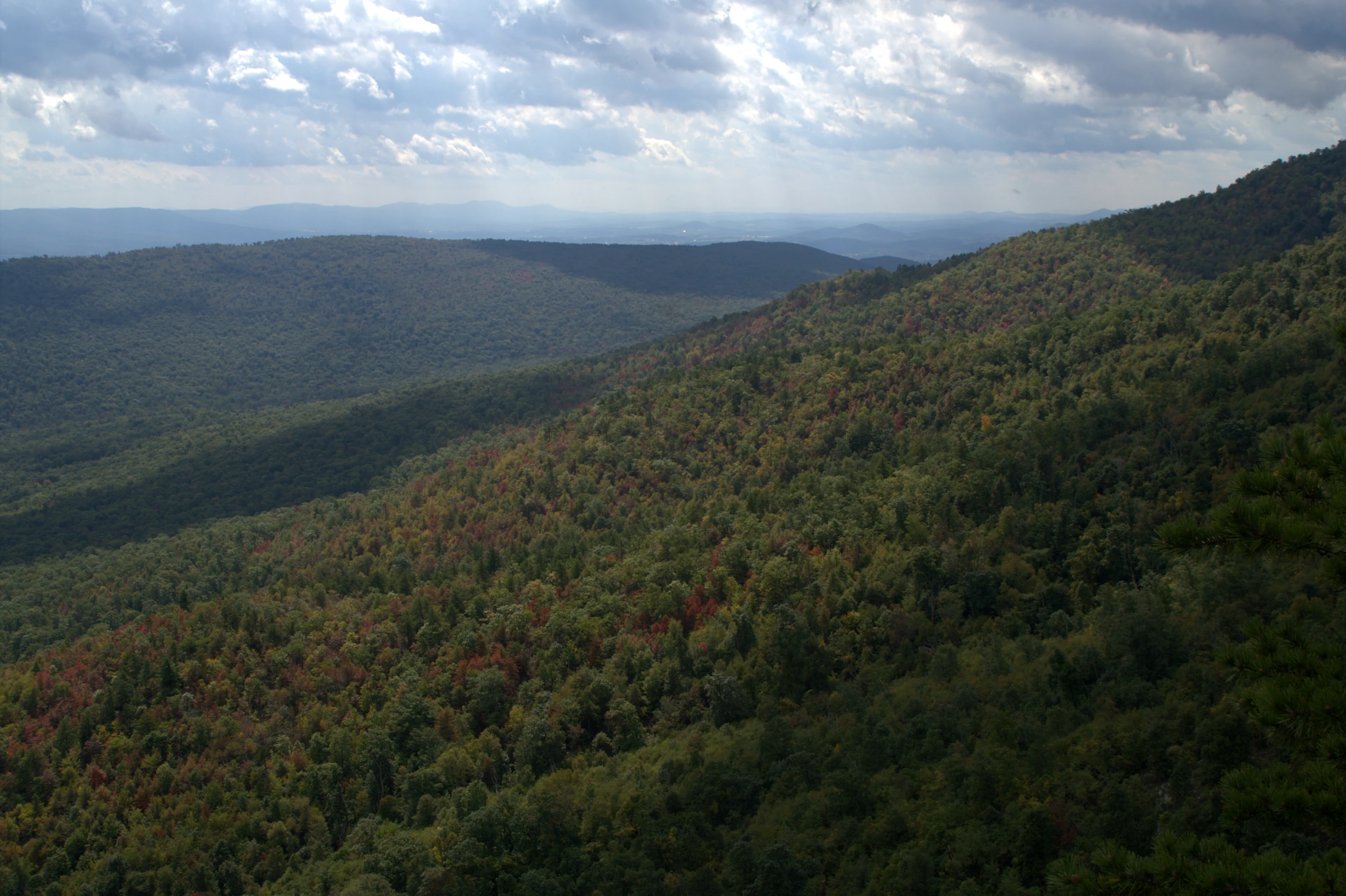
The George Washington and Jefferson National Forests are shaped by the central and southern Appalachian Mountains, with terrain that ranges from Blue Ridge ridges and Shenandoah Valley foothills in the north to the deeply dissected Cumberland Mountains and Plateau margins in the south. The James River broadly separates the two original forests and cuts a major valley through the region's uplands.
Elevations rise to Virginia's highest point, Mount Rogers, located within the Mount Rogers National Recreation Area in the southern part of the forest. Other defining summits include Whitetop Mountain and Elliott Knob, the latter still hosting one of the last fire lookouts in the eastern United States. Across the forests, ridges like Peters Mountain and Flannery Ridge carry long, unbroken forest cover, while hollows and stream valleys shelter some of the most ecologically intact habitat in the East.
One of the most striking landscape features is Breaks Interstate Park, often called the deepest gorge east of the Mississippi River, which lies within the forest. The Mount Pleasant National Scenic Area adds another visually distinct setting. The northern portion of the Blue Ridge Parkway, although separately administered by the National Park Service, also runs through the forests and defines a major scenic corridor through the highlands.
George Washington and Jefferson National Forests ecosystems, habitats, and plant life
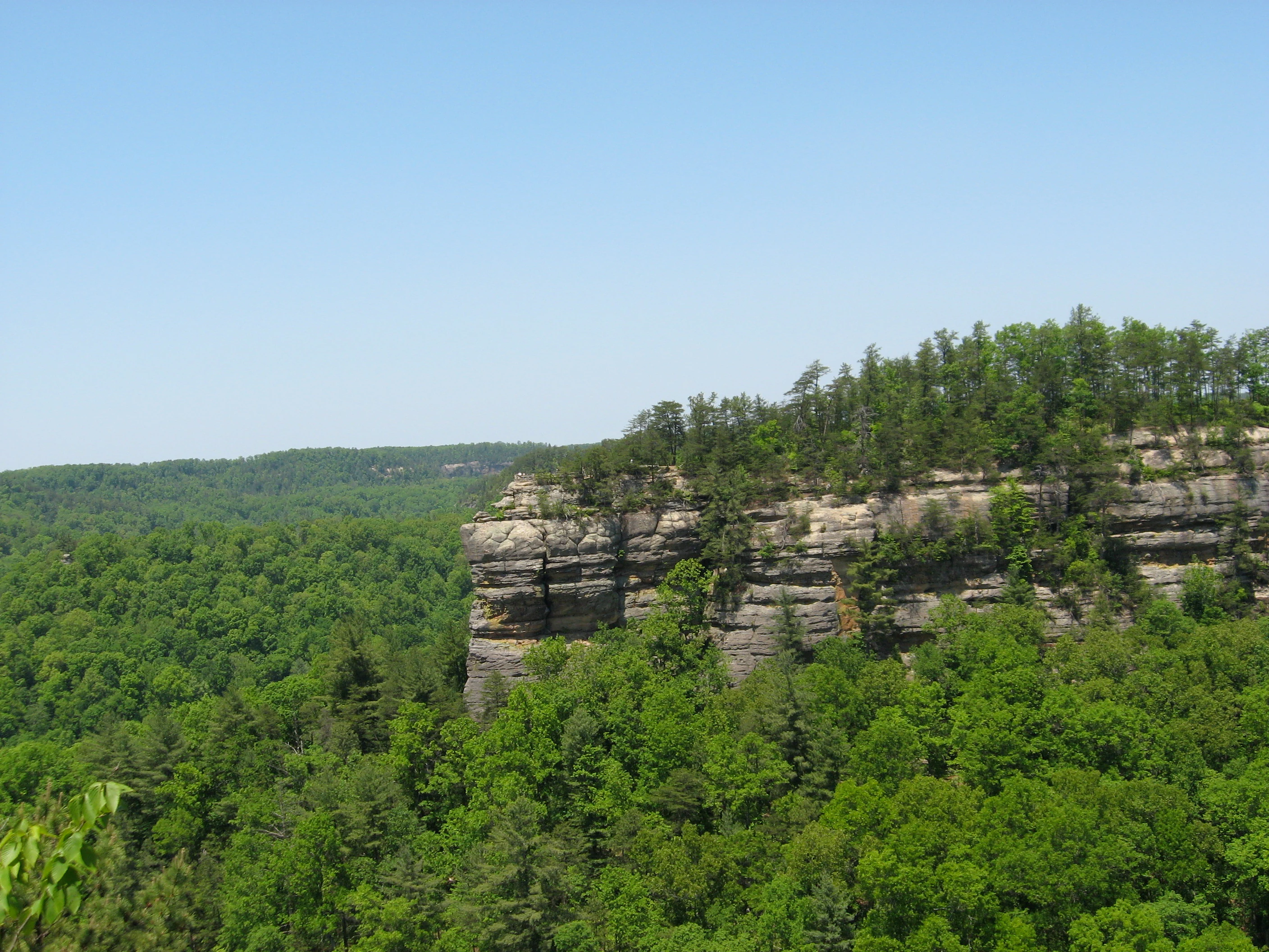
The vegetation of these forests reflects the ecological richness of the Appalachian and Blue Ridge systems. More than 50 species of trees and more than 2,000 species of shrubs and herbaceous plants have been recorded, producing a layered mosaic of forest communities from low-elevation cove hardwoods to high-elevation spruce and northern hardwood stands.
Approximately 230,000 acres of old-growth forest are protected within the combined unit, representing nearly all the major forest community types found in the region. Notable old-growth concentrations occur on Peters Mountain, in the Mount Pleasant National Scenic Area, in Rich Hole Wilderness, on Flannery Ridge, Pick Breeches Ridge, and Laurel Fork Gorge, in the Mount Rogers National Recreation Area, and throughout Ramsey's Draft and Kimberling Creek Wildernesses, which are predominantly old-growth.
The interplay of elevation, slope, aspect, and moisture creates strong habitat diversity across a relatively compact area. Hardwood and mixed forests dominate, but high-elevation areas such as Mount Rogers support distinct grassy balds and cooler-climate plant communities that add to the forests' ecological range.
George Washington and Jefferson National Forests wildlife and species highlights
Wildlife in the George Washington and Jefferson National Forests reflects the broader fauna of the central and southern Appalachians, with species that depend on large blocks of interior forest. Black bears are relatively common and abundant enough that the Forest Service maintains a short hunting season to manage the population.
White-tailed deer, bobcat, weasel, otter, and American marten all inhabit the forests, alongside other smaller carnivores and forest mammals. Bald eagles are documented in the area, indicating the presence of suitable river and reservoir habitat alongside the forested uplands. Because much of the forest is remote and undeveloped, the unit retains the kind of large, connected habitat that supports wide-ranging mammals rather than the more fragmented wildlife patterns seen in much of the eastern United States.
George Washington and Jefferson National Forests conservation status and protection priorities
The George Washington and Jefferson National Forests carry significant conservation weight in the eastern U.S., where large intact forest landscapes are rare. They protect one of the most extensive blocks of contiguous forest in the central and southern Appalachians and serve as a refuge for old-growth communities that have largely disappeared elsewhere in the region.
Roughly 139,000 acres have been designated as wilderness under the National Wilderness Preservation System, providing the highest level of federal protection against development. Designated wildernesses range in size and character, with Mountain Lake Wilderness being the largest at about 16,500 acres; Jefferson alone hosts 17 wildernesses, second among National Forests only to the much larger Tongass in Alaska.
In 1999, the Wilderness Society identified 67 additional intact areas of interest in Jefferson National Forest as "Mountain Treasures," recognizing sites valuable for backcountry recreation, biodiversity, ecological study, and the preservation of early American cultural history. The forests are also central to regional watershed protection, protecting water that flows into the James, Shenandoah, and New River systems, and they have been the focus of conservation debates around major infrastructure projects, including the Mountain Valley Pipeline.
George Washington and Jefferson National Forests cultural meaning and human context
These forests carry a layered Appalachian cultural history. Roaring Run Furnace, an ironmaking site within Jefferson National Forest, is the only property on the National Register of Historic Places fully owned by the forest, and the ghost town of Lignite, Virginia, lies within the forest's boundaries as a reminder of earlier extractive industries.
The Civilian Conservation Corps legacy is also visible in the landscape. Camp Roosevelt, the first CCC camp (NF-1) in the United States, was established near Luray, Virginia, in what is now the George Washington National Forest, and the site remains a recognized recreation area. Since 1953, the forests have also hosted Nature Camp, a natural-science-oriented summer program for youth located near Vesuvius, Virginia, embedding the landscape into decades of environmental education across the region.
Top sights and standout views in George Washington and Jefferson National Forests
Covering 1.8 million acres across Virginia, West Virginia, and Kentucky, the George Washington and Jefferson National Forests represent one of the largest expanses of public forest land in the eastern United States and offer a rare scale of backcountry experience in a heavily populated region.
The forests combine major long-distance trails with substantial old-growth forest and a high number of designated wilderness areas. Mount Rogers, Virginia's highest point, the deep Breaks gorge, remnants of CCC-era history, and a contiguous Appalachian trail network that includes more than 300 miles of the Appalachian Trail all contribute to a strong and distinctive identity as an outdoor landscape.
Best time to visit George Washington and Jefferson National Forests
The forests' Appalachian character means that each season offers a different experience. Spring brings wildflowers, fresh green foliage, and active wildlife in the lower valleys, while summer offers full trail access for hiking, mountain biking, and swimming at lakes like Sherando, though conditions can be humid at lower elevations.
Fall is widely recognized as a peak season to visit, when the hardwood forests of the Blue Ridge, Shenandoah Valley, and southern ridges turn color across broad elevation bands, creating some of the most striking foliage displays east of the Mississippi. Winter brings quieter conditions, occasional snow at higher elevations, and a more solitary feel to the trails, particularly in the southern wilderness areas. Because much of the forest lies at moderate elevation and within easy reach of major Eastern population centers, conditions vary significantly by latitude, elevation, and specific district; visitors generally find the late spring through mid-autumn months the most rewarding for full recreational use, while fall stands out for scenic value.