Mori Atlas logo
Park earthquake history

A structured geographic catalogue of recorded earthquake epicentres mapped to the regional moorland landscape.

Historical Record of Seismic Activity Associated with Georgenfelder Hochmoor in Saxony

Explore this detailed collection of recorded seismic activity documented in the vicinity of Georgenfelder Hochmoor. The catalogue provides a filtered view of historical earthquake events, identifying each record by date, magnitude, depth, and calculated distance from this protected ridge-top raised bog in the eastern Ore Mountains. These data points provide a transparent geographic look at local seismic history as documented by geological sources, ensuring a consistent and factual reference for the surrounding plateau.

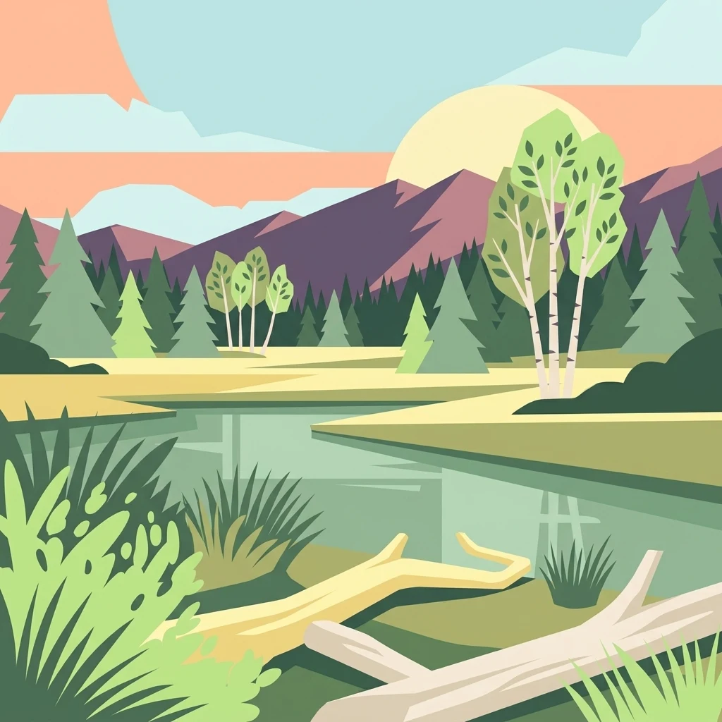
A flat-style digital illustration of a serene landscape with a calm pool of water, coniferous and birch trees, fallen logs, and rolling mountain peaks under a soft, light-filled sky.

An ancient raised bog on the ridge of the Ore Mountains, straddling the German-Czech border.

Georgenfelder Hochmoor

Georgenfelder Hochmoor is a small raised bog, or Hochmoor, sitting on the high ridge plateau of the eastern Ore Mountains (Osterzgebirge) in Saxony, Germany. It lies directly on the German-Czech border, roughly one and a half kilometers southwest of the village of Zinnwald-Georgenfeld, at an elevation of about 870 meters above sea level. The protected area covers around 13.5 hectares and forms the northwestern tip of a much larger moorland complex that extends southward across the border into the Czech Republic. Long known as "Die See," this transboundary bog system is one of the defining natural remnants of the Erzgebirge (Ore Mountains) ridge and the only sizeable Kammhochmoor, or ridge-top raised bog, in the eastern Ore Mountains. Georgenfelder Hochmoor has been recognized since the early twentieth century as one of the oldest nature reserves in Saxony. Today it is valued both for its unusual ecological character and for the long, ongoing effort to rewet and restore a landscape shaped by centuries of peat cutting, drainage for tin mining, and regional air pollution.

Location
Germany
Park type
Nature reserve
Established
1961
Area
0.1 km²
Highest point
870 m
Georgenfelder Hochmoor Nature Reserve Geography

Search Georgenfelder Hochmoor records by magnitude, depth, and distance

Investigate recorded earthquakes around Georgenfelder Hochmoor

Records associated with Georgenfelder Hochmoor are located relative to the raised bog through reported epicentres and calculated distance, keeping regional activity distinct from events within the peatland. Dates, magnitudes, depths, place descriptions, separation measurements, and source links allow evidence-led comparison without inferring bog impacts, causes, or future conditions.

Sort by
Magnitude
Location

This page describes catalogued earthquakes associated with the park by epicentre location and distance. It does not establish causation, assess current danger, or predict future earthquakes.

No earthquake records match the current filters

Park atlas

Continue beyond Georgenfelder Hochmoor earthquake data

Explore additional protected parks after Georgenfelder Hochmoor

After the Georgenfelder Hochmoor earthquake catalogue, users can branch into other protected-area pages from this raised-bog and peatland context in the Ore Mountains. The destinations are discovery links rather than ecological or seismic matches, so no shared moorland, Natura 2000 status, location, geology, record completeness, hazard, risk, or earthquake significance is implied.
A soft watercolor illustration featuring a panoramic view of a peat bog landscape with evergreen trees and distant rolling mountains under a white background.
Nature reserveÚstecký kraj
Park boundaries overlap#1 closest

Southwest

Rašeliniště U jezera, Cínovecké rašeliniště: Protected Nature Reserve and Bog Landscape

Geography and environmental context in the Ústecký kraj mountain range.

Situated at high elevations in the Ore Mountains, Rašeliniště U jezera, Cínovecké rašeliniště protects a functioning example of a rare raised bog ecosystem. This reserve contains diverse bog-pool flora and peat-forming habitats, standing as a significant site for understanding the montane geography of northern Bohemia and the ongoing conservation of Krušné hory wilderness areas.

Area
0.601 km²
Established
2001
IUCN
IV
Relief
Mountain
A wide watercolor painting depicting a green landscape with rolling hills, scattered trees, and a pale sky.
Nature reserveSaxony
About 3.9 km away#2 closest

Northeast

Bergwiesen im Osterzgebirge Nature Reserve: Saxony Regional Protected Area Atlas

Mapping cultural montane meadow landscapes and stone-strip field systems.

Bergwiesen im Osterzgebirge protects an extensive network of open-land habitats across the eastern Ore Mountains of Saxony. The area is defined by its complex mosaic of mountain meadows, mat-grass swards, and remnants of bog systems. This record examines the geographic extent of these preserved lands and their role in maintaining traditional agricultural heritage within the regional mountain topography.

Established
1999
Relief
Mountain
Climate
Temperate
Scope
Terrestrial
Watercolor painting of a panoramic mountain landscape with rolling green hills, patches of forest, and distant peaks under a soft sky.
Nature reserveSaxony
About 4.7 km away#3 closest

North

Geisingberg Nature Reserve: A Volcanic Basalt Peak in the Eastern Ore Mountains of Saxony

Exploration of protected mountain terrain and volcanic geology

Geisingberg serves as a rare volcanic Quellkuppe rising above the Saxon mining landscapes of Altenberg. The nature reserve protects 300 hectares of high-altitude bogs, species-rich meadows, and historic forest clearings. Gain a deeper understanding of this mountain through detailed mapped terrain, topographic features, and long-standing protected-area status within the Ore Mountains.

Area
3 km²
Established
1960
Relief
Mountain
Climate
Temperate
Nature reserveSächsische Schweiz-Osterzgebirge
5.8 km away#4 closest

North

Weicholdswald Nature Reserve: Mapped Protected Landscapes of the Eastern Ore Mountains

A preserved beech forest enclave within the Sächsische Schweiz-Osterzgebirge

Weicholdswald stands as a primary nature reserve in the Sächsische Schweiz-Osterzgebirge district, known for its 160-year-old beech trees and extensive deadwood habitats. This protected area provides a rare look at near-natural forest ecosystems that have remained free from historic clear-cutting or coniferous monocultures, maintaining rich biodiversity across its streams and granitic slopes.

Area
1.037 km²
Established
1961
IUCN
IV
Nature reserveSachsen
7.2 km away#5 closest

West

Gimmlitztal Nature Reserve in the Ore Mountains: Mapped Protected Landscapes

Exploring the stream valley geography of Saxony, Germany.

Gimmlitztal is a significant nature reserve in the German state of Saxony that protects the unique hydrology and biodiversity of the Gimmlitz stream corridor. The terrain includes forested slopes and traditional meadow patches, reflecting a long history of human interaction with the Ore Mountain environment. This reserve functions as a continuous green ribbon for regional habitat preservation.

Area
2.578 km²
Established
2015
IUCN
IV
A horizontal watercolor painting showing rolling green hills in the distance and colorful, stylized vegetation in the foreground.
Nature reserveÚstí nad Labem Region
About 18 km away#6 closest

Southeast

Rač Nature Reserve: Volcanic Slopes and Protected Habitats in Ústí nad Labem

Geomorphology and ecological succession in the České středohoří range

Rač Nature Reserve is a landmark for volcanic ecology, preserving a mosaic of trachyte rock formations and open grassland on the slopes of Hradiště u Habří. This protected area serves as a vital refuge for rare steppe-like flora and a high concentration of thermophilic insect species, offering a concentrated look at natural land recovery and geological history in northern Bohemia.

Area
0.154 km²
Established
1953
IUCN
IV
Relief
Mountain
A soft watercolor illustration of a bog landscape with a dark central pool, surrounding marsh vegetation, and distant pale hills.
Nature reserveÚstecký kraj
About 21 km away#7 closest

Northeast

Rájecká rašeliniště Nature Reserve: Protected Peatland and Sandstone Geography in Ústecký kraj

Geographic atlas and protected area landscape summary

Rájecká rašeliniště serves as a critical study in landscape ecology, featuring rare peat-forming vegetation located within the high-relief sandstone formations of the Ústecký kraj. This protected nature reserve provides a unique look at how specialized bog communities thrive despite the porous, water-draining characteristics of the local sandstone terrain, highlighting the site's importance within the Czech conservation landscape.

Area
0.017 km²
Established
2004
IUCN
IV
Water
Major water bodies
A watercolor illustration depicting rolling, soft hills and green vegetation with distant, faded mountains in the background, set against a plain white background.
Nature reserveGermany
About 25 km away#8 closest

North

Spargründe bei Dohna: Nature Reserve and Protected Valley Landscapes in Germany

Examining the crystalline ravines and forest ecosystems of the Saxon landscape

Spargründe bei Dohna stands as a distinct nature reserve at the northern margin of the Elbtalschiefergebirge. The site encompasses narrow, steeply-sided valleys carved into Dohna Granodiorite, creating a rugged terrain of rocky ridges and shaded deciduous woodland. This geographic overview examines the boundaries and natural features of the reserve, highlighting its role within the wider Müglitztal protected area network.

Area
0.373 km²
Relief
Upland
Climate
Temperate
Access
Easy access
MoriAtlas Explorer

Analyze the Protected Landscape and Geography of Georgenfelder Hochmoor

Continue exploring the high-elevation terrain and mapped extent of Georgenfelder Hochmoor through the MoriAtlas database. This destination entry details the geological history, bog restoration, and watershed significance of this unique Ore Mountains protected area in the Sachsen region.