
Mori Atlas logo
Park guides

Focused insights on glacial landscape dynamics, peak visitor seasons, and wilderness access

Glacier Bay National Park and Preserve Guide Collection: Seasonal and Planning Resources

This resource collection provides targeted documentation for navigating the complex geography of Glacier Bay National Park and Preserve. These guides offer structured insights into seasonal environmental transitions, tidal glacier access, and the unique ecological succession characterizing this massive Alaskan wilderness area.

Related tags

GlaciersTidewater GlaciersWilderness AreaUNESCO World Heritage SiteMarine Protected Area

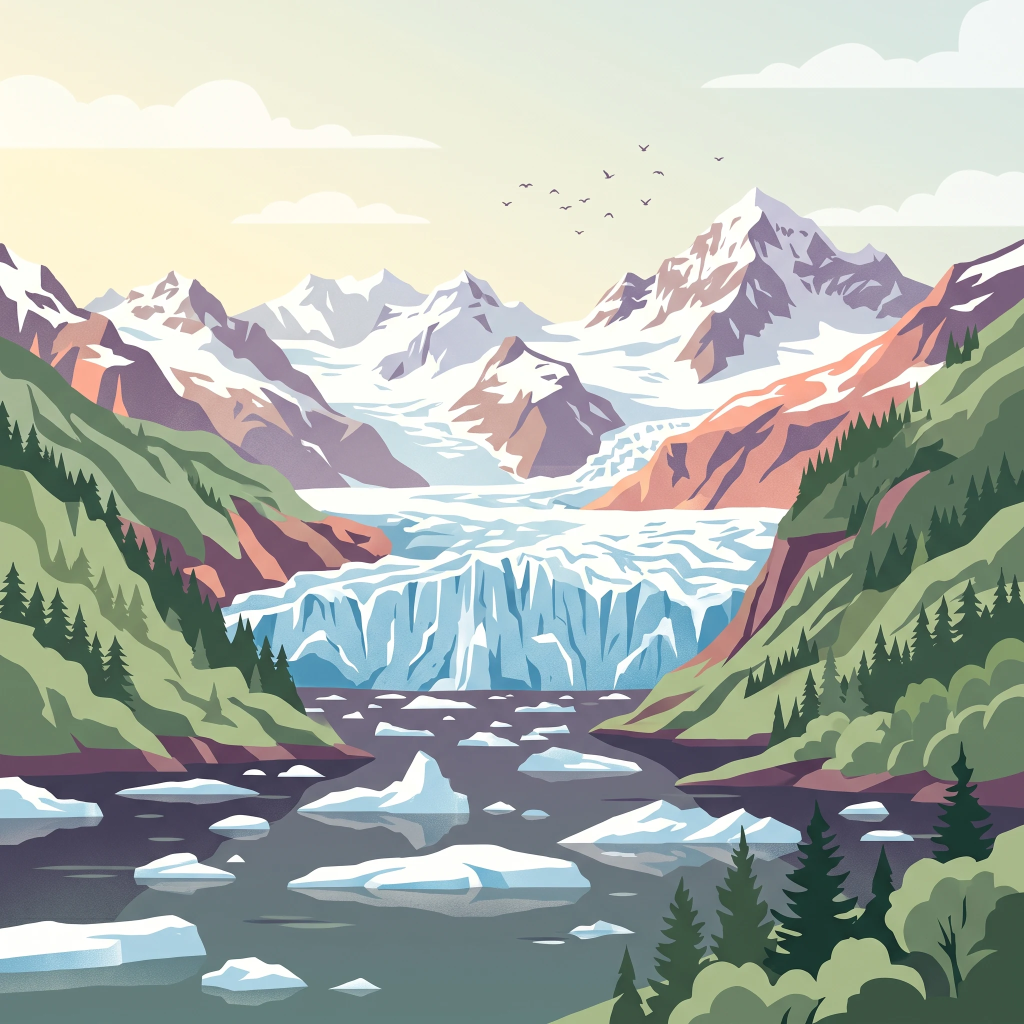
A dramatic landscape of retreating glaciers and emerging ecosystems in Southeast Alaska

Glacier Bay National Park and Preserve

Glacier Bay National Park and Preserve represents one of the most significant protected wilderness areas in the United States, encompassing a landscape of extraordinary geological and ecological complexity. Located in Southeast Alaska west of Juneau, the park stretches from the icy waters of Icy Strait at its southern extent to the Canadian border at Grand Pacific Glacier in the north, a distance of approximately 65 miles. The protection of this vast territory reflects over a century of conservation advocacy, beginning with John Muir's influential writings in the late 19th century that brought national attention to the region's glaciers and ecological significance. The park's establishment as a national monument in 1925 marked the culmination of scientific and political efforts to preserve this distinctive landscape, with subsequent expansion through presidential proclamations and congressional action culminating in the comprehensive designation of 1980. The landscape within Glacier Bay reveals a complex geological history spanning Paleozoic sedimentary formations, with the bay's dramatic topography shaped by successive glacial advances that reached their maximum extent just centuries ago. Today, the park protects nearly 600,000 acres of federally designated marine ecosystems, making it one of the largest marine protected areas in the United States. The interaction of glacial processes, tectonic activity, and marine influences creates an environment of remarkable diversity, from the tidewater glaciers that dominate the upper bay to the spruce and hemlock forests that characterize the lower reaches.

Location
United States of America
Park type
National park
Established
1980
Area
13,045 km²
Highest point
4,700 m
Glacier Bay National Park and Preserve Atlas
MoriAtlas Explorer

Continue Exploring Glacier Bay National Park and Preserve's Geographic Identity

Deepen your understanding of Glacier Bay National Park and Preserve's protected landscape by examining its detailed geographic context and mapped natural features. This park detail provides the essential geographic information for appreciating its role within Alaska's protected areas, guiding further atlas-based discovery of its unique natural terrain.