
Mori Atlas logo
Park guides

Structured thematic insights for exploring alpine terrain and regional environmental conditions.

Available Geographic and Seasonal Guides for Glacier National Park in British Columbia

Browse the collection of focused guides regarding the natural landscape of Glacier National Park. These resources offer clarity on seasonal access and geographic characteristics of the Selkirk Mountains, supporting a deeper understanding of this glacially carved alpine environment.

Related tags

Glacial landscapesMountain parksAlpine environmentsCanadian national parksSelkirk Mountains

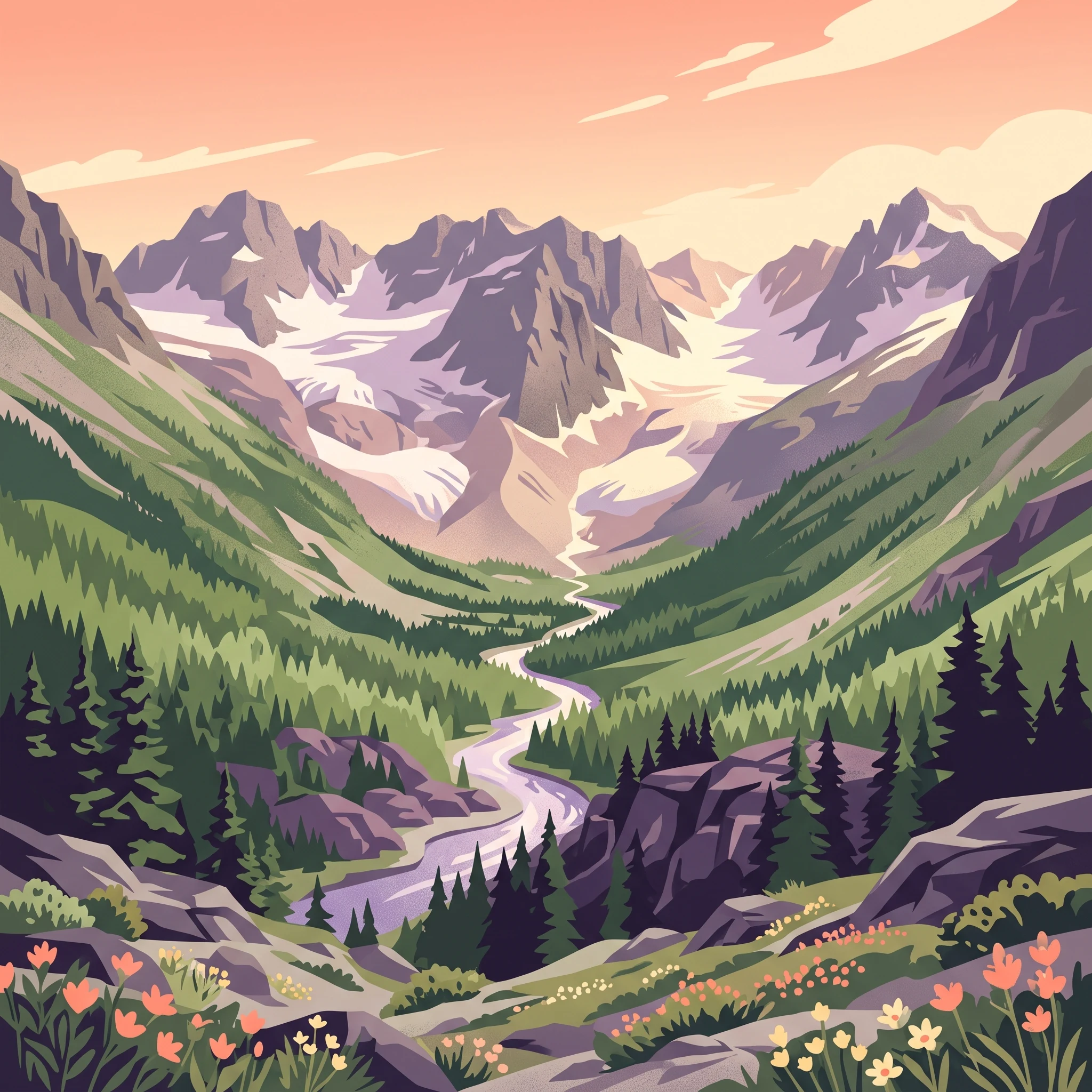
Glaciated mountain wilderness in the Selkirks of British Columbia

Glacier National Park

Glacier National Park protects a spectacular portion of the Selkirk Mountains in British Columbia, a subrange of the larger Columbia Mountains system. The park was established in 1886, following the completion of the Canadian Pacific Railway, making it one of Canada's original national parks alongside Banff and Yoho. The park's creation was inspired by a journey through the Rockies undertaken by Prime Minister John A. Macdonald and his wife Agnes on the newly completed transcontinental railroad, which convinced them of the need to preserve these remarkable mountain landscapes. The park's geography is characterized by a dramatic transition from rounded mountains and ridges in the east, north, and west to sharp, steep-sided peaks in the central and southern regions. The landscape has been profoundly shaped by glaciation, with U-shaped valleys, cirques, and glacial moraines documenting the passage of ice through the region over thousands of years. The park is dissected by two major transportation corridors that have shaped its human history: the Canadian Pacific Railway and the Trans-Canada Highway, both following Rogers Pass through the heart of the protected area. The heavy snowfall and avalanche-prone terrain of Rogers Pass presented enormous challenges for transportation engineers. The construction of the Connaught Tunnel, an eight-kilometer railway tunnel beneath Mount Macdonald completed in 1916, was necessary to bypass the dangerous avalanche paths. Today, the highway remains subject to extensive avalanche control operations during winter months, with the Canadian Armed Forces conducting controlled explosions to trigger smaller, safer slides. This ongoing relationship between transportation infrastructure and the mountain environment remains a defining characteristic of the park.

Location
Canada
Park type
National park
Established
1886
Area
1,349 km²
Highest point
3,377 m
Glacier National Park Protected Area
1 guide

Compare specialized alpine planning themes and timing topics for this mountain ecosystem

Published Guides And Analytical Resources For Glacier National Park

Published guides for Glacier National Park provide focused editorial coverage for specific mountain research needs and visitor questions. Selecting an appropriate reference helps evaluate seasonal trail access, high-altitude weather patterns, and optimal visitation timing.
MoriAtlas Explorer

Continue Exploring Glacier National Park's Mapped Landscape and Protected Boundaries

Deepen your understanding of Glacier National Park's geographic significance. By exploring this national park's context, you gain valuable insights into its mapped protected area features and regional landscape. This atlas perspective helps to contextualize Glacier National Park within Canada's conservation network, offering a factual exploration of its protected land identity.

Global natural geography